Ivyhole Hill

Hill, Mountain in Hampshire Hart

England

Ivyhole Hill

The A30, Hartfordbridge A fairly regular stopping point if you click this spot on my map.
The A30, Hartfordbridge Credit: David Howard

Ivyhole Hill is a prominent geographic feature located in the county of Hampshire, England. It is categorized as a hill rather than a mountain, standing at an elevation of approximately 275 meters (902 feet) above sea level. Situated near the village of West Meon, Ivyhole Hill is a part of the picturesque South Downs National Park.

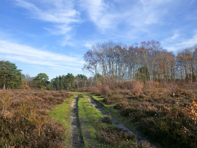
The hill is characterized by its distinctive shape, with a gently sloping southern flank and a steeper northern face. It is predominantly covered in lush green grass, interspersed with pockets of dense woodland, giving it a serene and idyllic appearance. The summit of Ivyhole Hill offers breathtaking panoramic views of the surrounding countryside, including the rolling hills and valleys that stretch out for miles.

Due to its accessibility and natural beauty, Ivyhole Hill is a popular destination for outdoor enthusiasts and nature lovers. It attracts hikers, walkers, and cyclists who come to explore the network of trails that crisscross the area. The hill's diverse flora and fauna also make it a haven for wildlife enthusiasts and birdwatchers.

Ivyhole Hill holds historical significance as well, with evidence of Bronze Age settlements and Iron Age hill forts in the vicinity. Archaeological finds have been made in the area, including pottery fragments and tools, providing insights into the region's ancient past.

Overall, Ivyhole Hill in Hampshire offers a tranquil and picturesque escape, combining natural beauty, recreational opportunities, and a rich historical heritage.

If you have any feedback on the listing, please let us know in the comments section below.
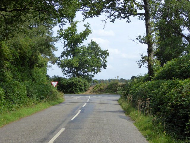
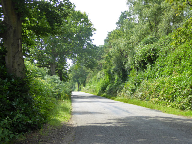
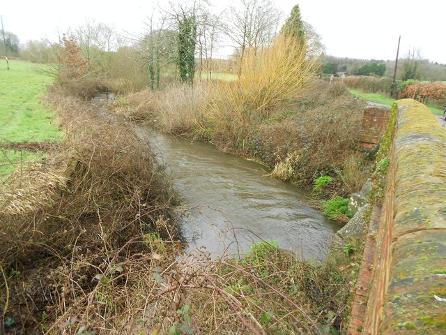
Ivyhole Hill Images

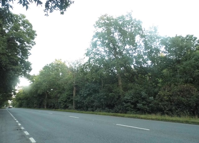
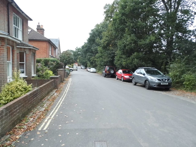
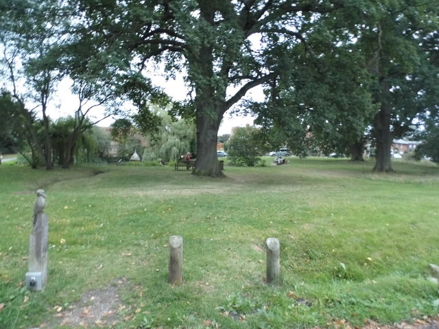
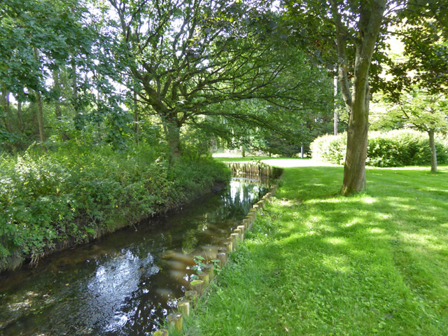
Images are sourced within 2km of 51.313596/-0.8698666 or Grid Reference SU7857. Thanks to Geograph Open Source API. All images are credited.

The A30, Hartfordbridge A fairly regular stopping point if you click this spot on my map.
The A30, Hartfordbridge
A fairly regular stopping point if you click this spot on my map.
New water features At the time of submitting this photo, these flooded gravel pits are not shown on the Ordnance Survey maps.
New water features
At the time of submitting this photo, these flooded gravel pits are not shown on the Ordnance Survey maps.
Deep Pit A very deep flooded gravel pit; maybe they are trying to breed the Loch Ness Monster!
Deep Pit
A very deep flooded gravel pit; maybe they are trying to breed the Loch Ness Monster!
Park Corner Road, Hartley Wintney As you can see, it's at the corner of the park
Park Corner Road, Hartley Wintney
As you can see, it's at the corner of the park
Hartley Wintney Green
Brook by public footpath It may be the River Hart.
Brook by public footpath
It may be the River Hart.
Top end of Ivyhole Hill Not much of a hill at this end of the road.
Top end of Ivyhole Hill
Not much of a hill at this end of the road.
Ivyhole Hill This part of the 'hill' is fairly level, the descent is further along.
Ivyhole Hill
This part of the 'hill' is fairly level, the descent is further along.
Antiques and Collectables, Hartfordbridge Formerly the White Lion pub.
Antiques and Collectables, Hartfordbridge
Formerly the White Lion pub.
Hartfordbridge: Eastbound A30 This is the eastbound A30 on the approach to Hartford Bridge that takes the road over the River Hart. This is the original single carriageway road. When it was made into a dual carriageway the westbound road went over a new bridge.
Hartfordbridge: Eastbound A30
This is the eastbound A30 on the approach to Hartford Bridge that takes the road over the River Hart. This is the original single carriageway road. When it was made into a dual carriageway the westbound road went over a new bridge.
River Hart (Eastern Arm): At Bakers Bridge (1) This is the view looking downstream from Bakers Bridge. This watercourse is a tributary of the main River Hart which rises in Crondall and runs through Dogmersfield and Elvetham. This arm flows down from Fleet Pond. 

Please see <a href="https://www.geograph.org.uk/photo/748787">SU7856 : The River Hart</a> for a similar view taken about 8 years previously.
River Hart (Eastern Arm): At Bakers Bridge (1)
This is the view looking downstream from Bakers Bridge. This watercourse is a tributary of the main River Hart which rises in Crondall and runs through Dogmersfield and Elvetham. This arm flows down from Fleet Pond. Please see SU7856 : The River Hart for a similar view taken about 8 years previously.
River Hart (Eastern Arm): At Bakers Bridge (2) This is the view looking upstream from Bakers Bridge towards Fleet. This watercourse is a tributary of the main River Hart which rises in Crondall and runs through Dogmersfield and Elvetham.

The white post is a water level gauge.
River Hart (Eastern Arm): At Bakers Bridge (2)
This is the view looking upstream from Bakers Bridge towards Fleet. This watercourse is a tributary of the main River Hart which rises in Crondall and runs through Dogmersfield and Elvetham. The white post is a water level gauge.
Old Milestone by the A30, London Road, Hartley Wintney Carved stone post by the A30, in parish of HARTLEY WINTNEY (HART District), London Road, East of Hartley Wintney, on wide well cut grass verge, in front of high garden wall, on South side of road. Hartford limestone diamond, erected by the Basingstoke, Hartfordbridge & Blackwater (and Odiham) turnpike trust in the 19th century. 

Inscription reads:-
: (BASINGSTOKE / 9½) : : Parish / of / Hartley Wintney : : LONDON / 36 : : Hartford / bridge / ¼ / (BAGSHOT / 9¾) :  

Grade II listed.  
List Entry Number: 1339877 <span class="nowrap"><a title="https://historicengland.org.uk/listing/the-list/list-entry/1339877" rel="nofollow ugc noopener" href="https://historicengland.org.uk/listing/the-list/list-entry/1339877">Link</a><img style="margin-left:2px;" alt="External link" title="External link - shift click to open in new window" src="https://s1.geograph.org.uk/img/external.png" width="10" height="10"/></span>
 
Milestone Society National ID: HA_LE36.
Old Milestone by the A30, London Road, Hartley Wintney
Carved stone post by the A30, in parish of HARTLEY WINTNEY (HART District), London Road, East of Hartley Wintney, on wide well cut grass verge, in front of high garden wall, on South side of road. Hartford limestone diamond, erected by the Basingstoke, Hartfordbridge & Blackwater (and Odiham) turnpike trust in the 19th century. Inscription reads:- : (BASINGSTOKE / 9½) : : Parish / of / Hartley Wintney : : LONDON / 36 : : Hartford / bridge / ¼ / (BAGSHOT / 9¾) : Grade II listed. List Entry Number: 1339877 LinkExternal link Milestone Society National ID: HA_LE36.
Old Milestone by the A30 at Hartford Bridge Flats Carved stone post by the A30, in parish of Hartley Wintney (Hart District), West end of Blackbushe Airport, in undergrowth in front of woodland, on South side of road. Hartford limestone diamond, erected by the Basingstoke, Hartfordbridge & Blackwater (and Odiham) turnpike trust in the 19th century. 

Inscription reads:-
: Hartford / Bridge / 1¾ : : LONDON / 34 : : Bagshot / 7¾ :  
Carved benchmark on back lower right.

Grade II listed.
List Entry Number: 1092264 <span class="nowrap"><a title="https://historicengland.org.uk/listing/the-list/list-entry/1092264" rel="nofollow ugc noopener" href="https://historicengland.org.uk/listing/the-list/list-entry/1092264">Link</a><img style="margin-left:2px;" alt="External link" title="External link - shift click to open in new window" src="https://s1.geograph.org.uk/img/external.png" width="10" height="10"/></span>

Milestone Society National ID: HA_LE34
Old Milestone by the A30 at Hartford Bridge Flats
Carved stone post by the A30, in parish of Hartley Wintney (Hart District), West end of Blackbushe Airport, in undergrowth in front of woodland, on South side of road. Hartford limestone diamond, erected by the Basingstoke, Hartfordbridge & Blackwater (and Odiham) turnpike trust in the 19th century. Inscription reads:- : Hartford / Bridge / 1¾ : : LONDON / 34 : : Bagshot / 7¾ : Carved benchmark on back lower right. Grade II listed. List Entry Number: 1092264 LinkExternal link Milestone Society National ID: HA_LE34
White Lion Antiques Situated at Hartford Bridge on London Road, the former coaching inn is now playing host to over 100 sellers of antiques, collectibles and other goods.
White Lion Antiques
Situated at Hartford Bridge on London Road, the former coaching inn is now playing host to over 100 sellers of antiques, collectibles and other goods.
Heathland in November, Castle Bottom NNR Sandy, gravelly terrain, but poorly drained after a long rainy spell.
Heathland in November, Castle Bottom NNR
Sandy, gravelly terrain, but poorly drained after a long rainy spell.
Heathland in November, Castle Bottom NNR (2) Higher ground on the south side of this National Nature Reserve.  Tree species are typical of heathland: silver birch and Scots pine.

Photo taken in one of the brighter spells on a chilly day at the end of November.
Heathland in November, Castle Bottom NNR (2)
Higher ground on the south side of this National Nature Reserve. Tree species are typical of heathland: silver birch and Scots pine. Photo taken in one of the brighter spells on a chilly day at the end of November.
Gravel pit scenery, Eversley Common Much the same view as in: <a title="https://www.geograph.org.uk/photo/4848127" href="https://www.geograph.org.uk/photo/4848127">Link</a>   Although these gravel workings seem to have been abandoned for quite some years, at the time of submitting this item the OS  still mapped this area as conifer plantation.
Gravel pit scenery, Eversley Common
Much the same view as in: Link Although these gravel workings seem to have been abandoned for quite some years, at the time of submitting this item the OS still mapped this area as conifer plantation.
Show me another place!

Ivyhole Hill is located at Grid Ref: SU7857 (Lat: 51.313596, Lng: -0.8698666)

Administrative County: Hampshire

District: Hart

Police Authority: Hampshire

What 3 Words

///stealing.shepherdess.sending. Near Hartley Wintney, Hampshire

Related Wikis

1957 Blackbushe Viking accident

The 1957 Blackbushe Viking accident occurred on 1 May 1957 when an Eagle Aviation twin-engined Vickers VC.1 Viking 1B registered G-AJBO named "John Benbow...
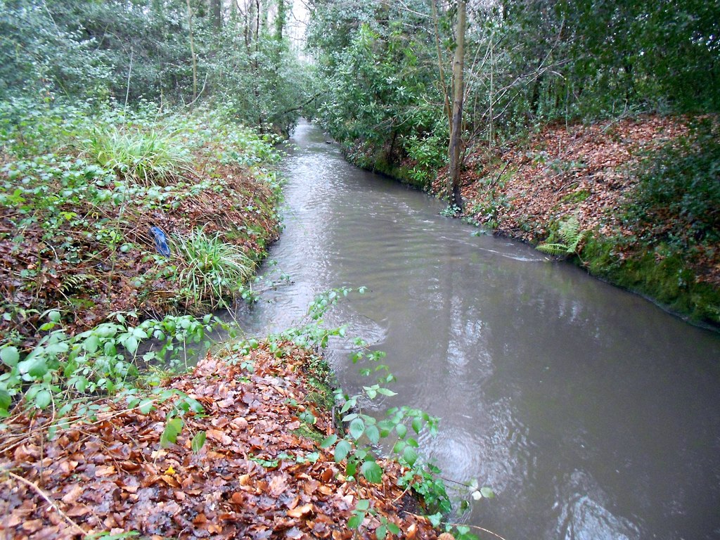
Fleet Brook

Fleet Brook is a small river in northern Hampshire, England and tributary of the River Hart. == Route == The source is somewhere near the town of Fleet...

Hartfordbridge

Hartfordbridge is a small village in the Hart District of Hampshire, England. The village sits on the A30 road and is 2 miles (2.5 km) from Hartley Wintney...

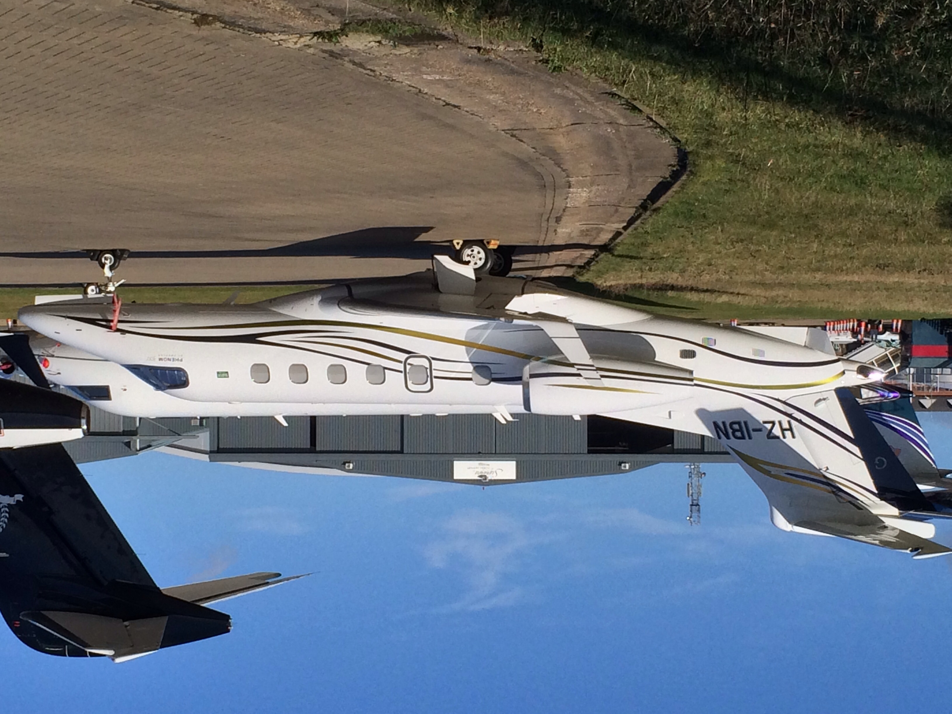
2015 Blackbushe Phenom 300 crash

On 31 July 2015, an Embraer Phenom 300 business jet crashed into a car park next to Blackbushe Airport in Hampshire, United Kingdom, while attempting to...
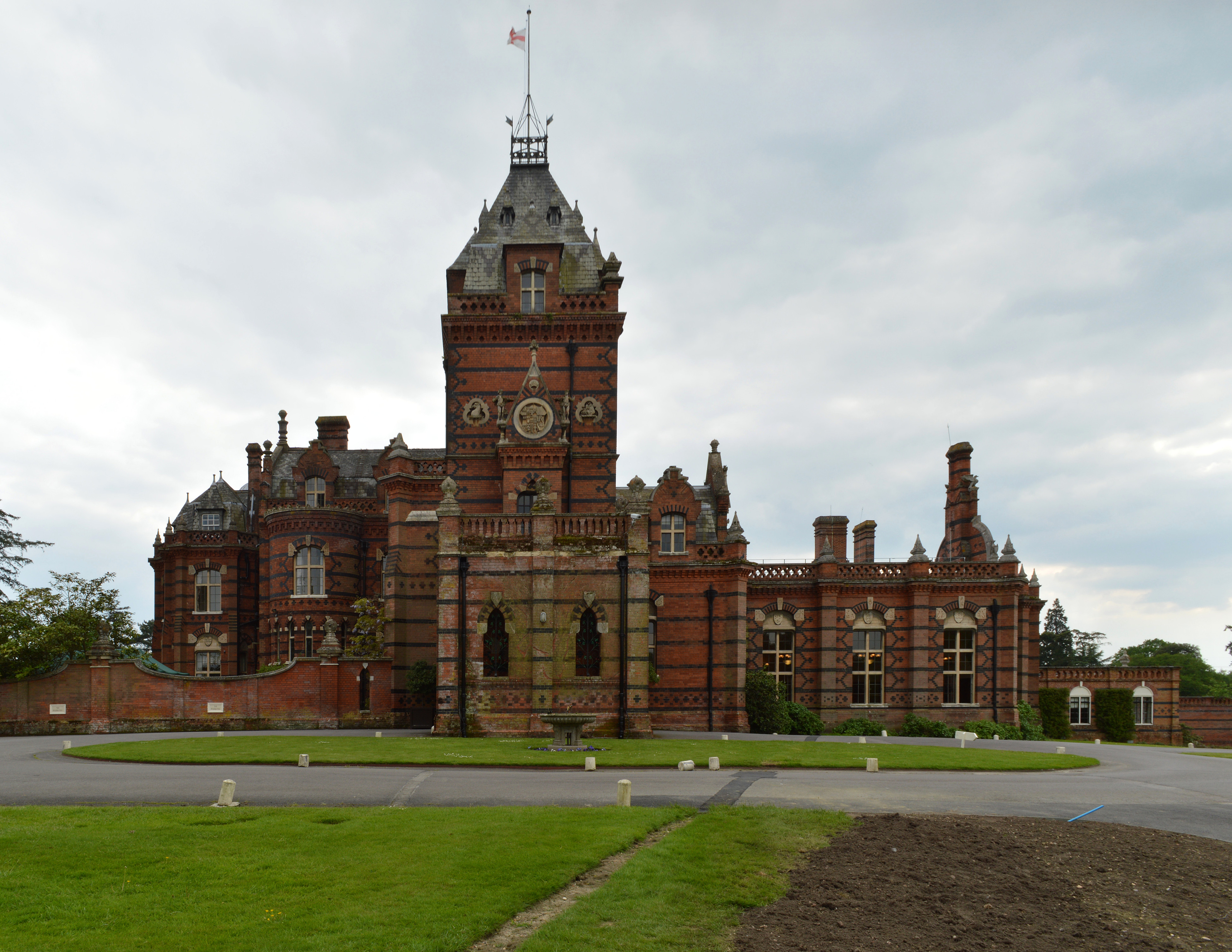
Elvetham Hall

Elvetham Hall is a hotel in Hampshire, England, in the parish of Hartley Wintney about 2 miles (3 km) northwest of Fleet. The building is a High Victorian...

Elvetham air crash

The Elvetham air crash occurred on 5 October 1945 when a Consolidated Liberator GR.VI aircraft, serial number KG867, of 311 Squadron Royal Air Force crashed...

Blackbushe Airport

Blackbushe Airport (IATA: BBS, ICAO: EGLK) is an operational general aviation airport in the civil parish of Yateley in the north-east corner of the English...

Castle Bottom NNR

Castle Bottom is a British national nature reserve located near Yateley in Hampshire. It is part of Castle Bottom to Yateley and Hawley Commons, which...

Nearby Amenities

Located within 500m of 51.313596,-0.8698666
Traffic Signals
Fixme: check position
Traffic Signals Direction: forward
Lat/Long: 51.3178427/-0.8676848
Barrier: debris
Lat/Long: 51.3157606/-0.8668395
Traffic Signals
Fixme: check position
Traffic Signals Direction: backward
Lat/Long: 51.3176837/-0.867649
Traffic Signals
Fixme: check position
Traffic Signals Direction: backward
Lat/Long: 51.3177535/-0.8677748
Traffic Signals
Fixme: check position
Traffic Signals Direction: forward
Lat/Long: 51.3177634/-0.8675334
The data included in this document is from www.openstreetmap.org. The data is made available under ODbL.

Have you been to Ivyhole Hill?

Leave your review of Ivyhole Hill below (or comments, questions and feedback).