Malthouse Copse
Wood, Forest in Sussex Chichester
England
Malthouse Copse

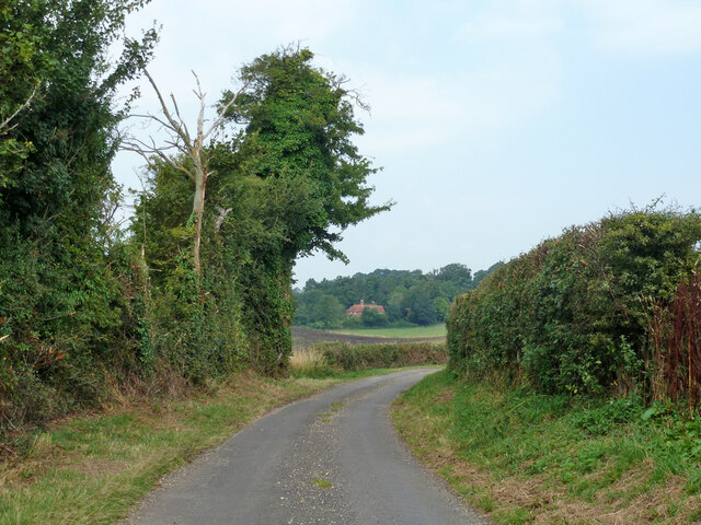
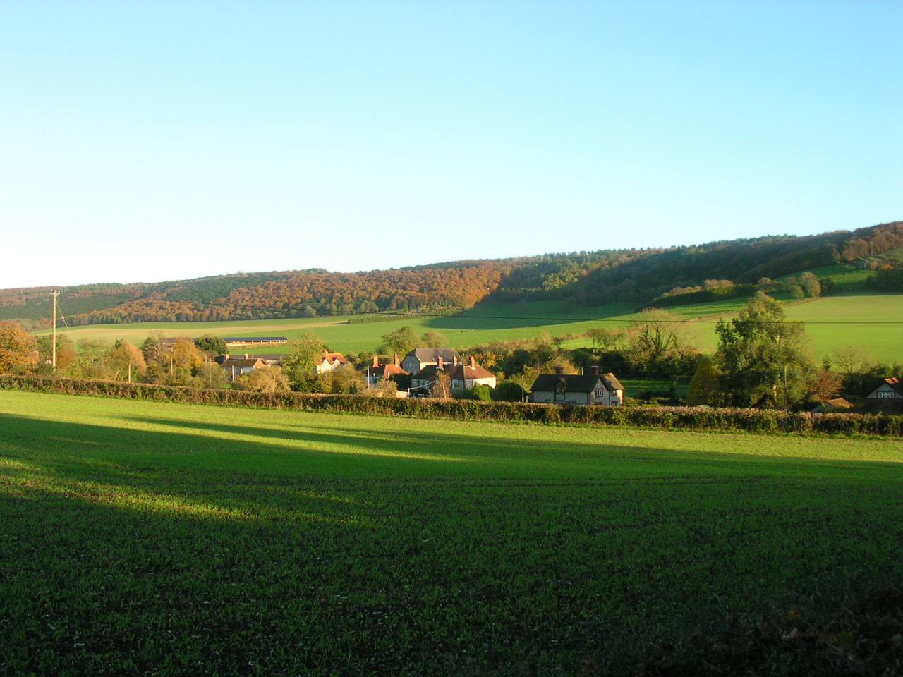
Malthouse Copse is a picturesque woodland located in the county of Sussex, England. Situated near the village of Malthouse, this enchanting forest covers an area of approximately 50 acres. The copse is characterized by its dense grove of mature trees, including oak, beech, and birch, which provide a stunning display of vibrant foliage throughout the year.
The woodland is home to a diverse range of flora and fauna, making it an ideal destination for nature enthusiasts and wildlife lovers. Bluebells carpet the forest floor in the spring, creating a breathtaking scene of vivid blue hues. Migratory birds can be spotted nesting high up in the tree canopies, while squirrels scurry about, collecting nuts to store for the winter months.
Malthouse Copse offers several walking trails, allowing visitors to explore the beauty of the woodland at their own pace. The paths wind through the trees, offering glimpses of sunlight filtering through the leaves and creating a tranquil atmosphere. In addition to the scenic beauty, the copse also features a small stream that meanders through its heart, adding to the overall charm of the area.
Visitors to Malthouse Copse can enjoy a peaceful and serene environment, perfect for relaxation and rejuvenation. The copse provides an escape from the hustle and bustle of everyday life, allowing individuals to immerse themselves in the tranquility of nature. Whether it's a leisurely stroll, a picnic among the trees, or simply a moment of quiet contemplation, Malthouse Copse offers a serene sanctuary for all who visit.
If you have any feedback on the listing, please let us know in the comments section below.
Malthouse Copse Images
Images are sourced within 2km of 50.913636/-0.89013432 or Grid Reference SU7813. Thanks to Geograph Open Source API. All images are credited.


Malthouse Copse is located at Grid Ref: SU7813 (Lat: 50.913636, Lng: -0.89013432)
Administrative County: West Sussex
District: Chichester
Police Authority: Sussex
What 3 Words
///stamp.ecologist.grief. Near South Harting, West Sussex
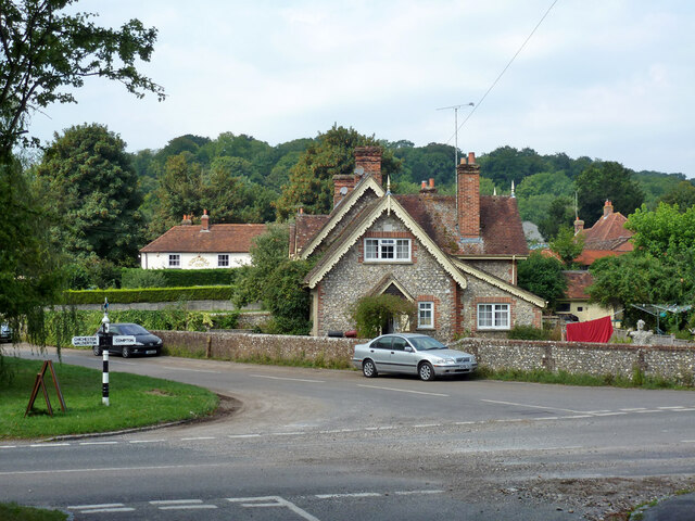
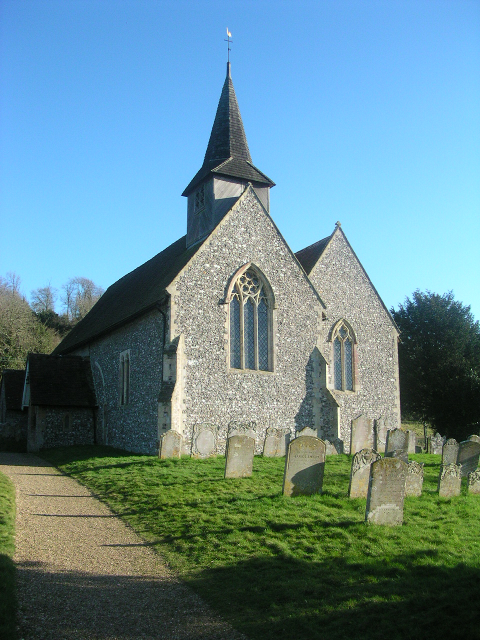
Nearby Locations
Related Wikis

West Marden
West Marden is a hamlet in the Chichester district of West Sussex, England. It lies on the B2146 road 5 miles (8.2 km) north of Emsworth. It is in the...
Compton, West Sussex
Compton is a village and civil parish in the Chichester district of West Sussex. The village lies on the B2146 road, six miles (9.7 km) southeast of Petersfield...

Up Marden
Up Marden is a small village and former civil parish, now in the parish of Compton, in the Chichester district of West Sussex, England. It is on the South...

Compton Down, Compton
Compton Down is an extent of high ground near Compton, West Sussex where there was an Admiralty semaphore station. The semaphore station was built at...

Walderton
Walderton is a hamlet in the Chichester district of West Sussex, England. It lies on the B2146 road 4 miles (6.4 km) northeast of Emsworth. It is in the...
Stoughton, West Sussex
Stoughton is a village and civil parish in the District of Chichester in West Sussex, England located nine kilometres (5.6 miles) north west of Chichester...

River Ems (Chichester Harbour)
The River Ems is a much-sluiced, six miles (9.7 km) river that is located in the far west of the county of West Sussex, England.The last one and a half...

East Marden
East Marden is a village and former civil parish, now in the parish of Marden, in the Chichester district of West Sussex, England. It is on the spur of...
Nearby Amenities
Located within 500m of 50.913636,-0.89013432Have you been to Malthouse Copse?
Leave your review of Malthouse Copse below (or comments, questions and feedback).