Thrussen Dale
Valley in Yorkshire Ryedale
England
Thrussen Dale
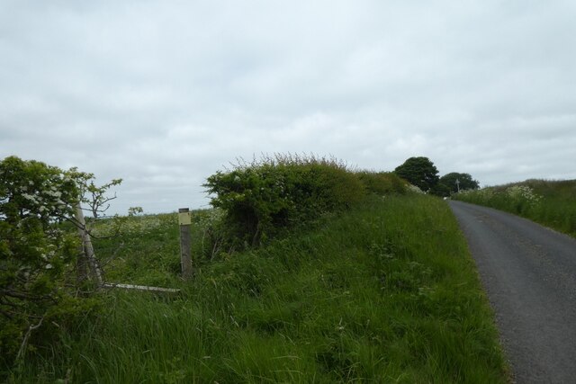
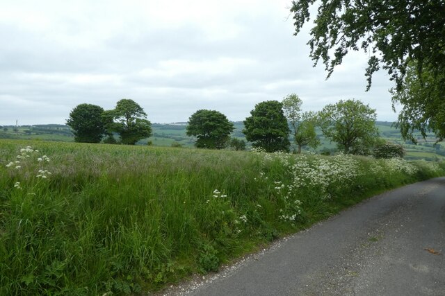
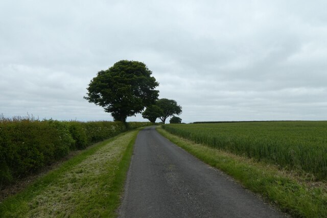
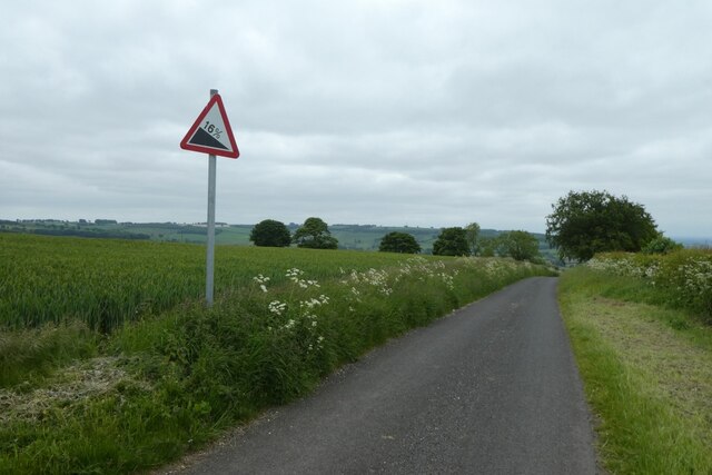
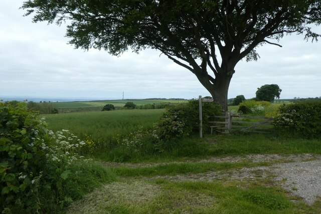
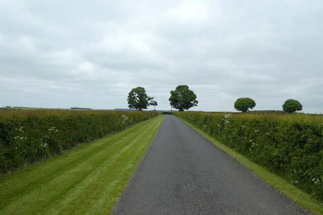
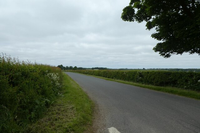
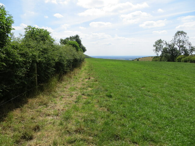
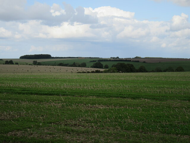
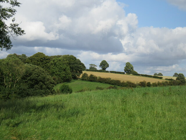
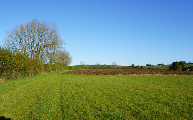
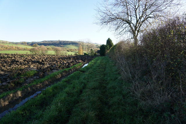
Thrussen Dale, located in Yorkshire, England, is a picturesque valley known for its natural beauty and tranquil surroundings. Nestled between rolling hills and bordered by lush green meadows, the dale stretches over several kilometers, offering breathtaking views and a haven for outdoor enthusiasts.
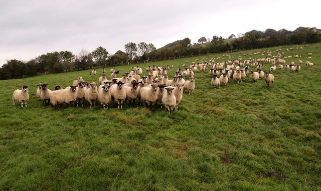
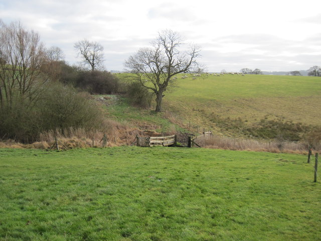
The valley is characterized by a meandering river that flows through its center, adding to the charm and serenity of the landscape. The river is home to an array of wildlife, including otters, kingfishers, and trout, making it a popular spot for nature lovers and anglers.
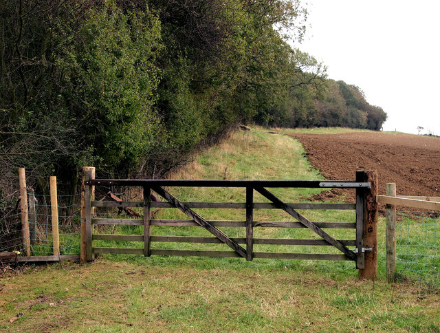
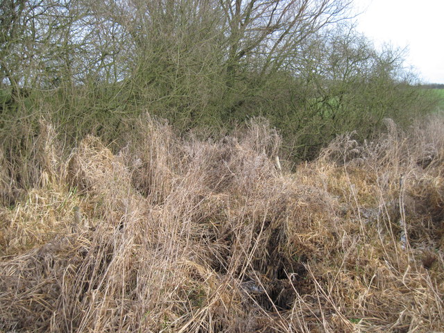
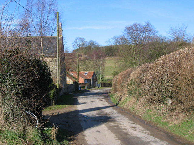
Thrussen Dale boasts an abundance of walking trails and hiking routes, catering to all levels of fitness and experience. The trails take visitors through woodlands, across fields, and up gentle slopes, providing a variety of vistas and allowing visitors to fully immerse themselves in the natural surroundings.
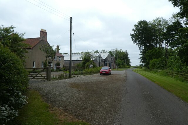
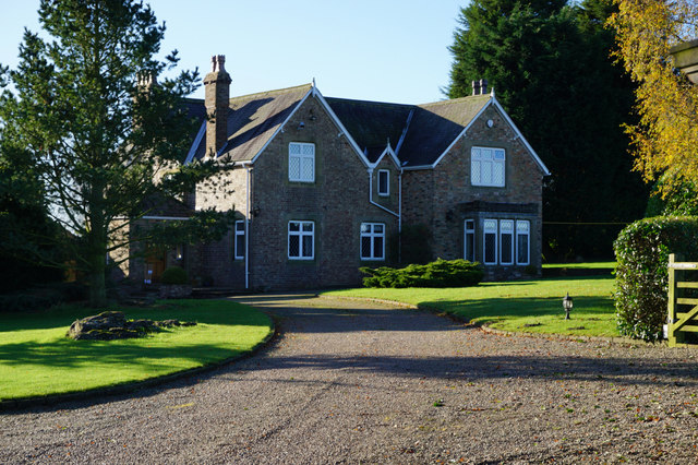
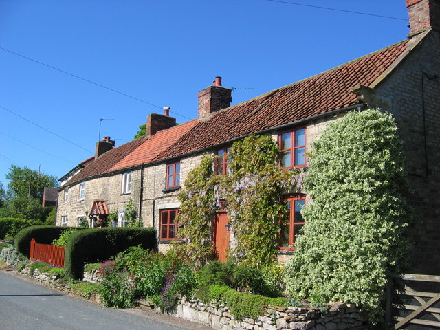
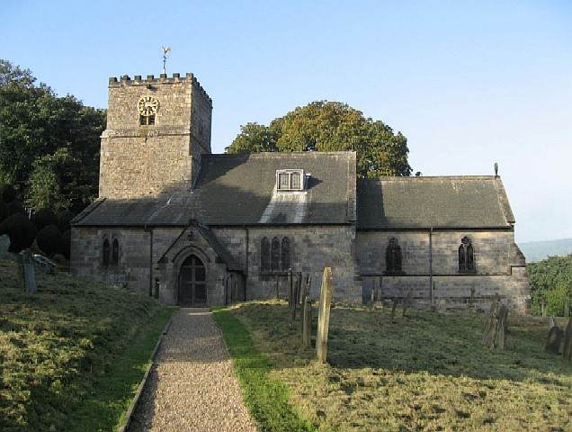
The dale also features several quaint villages and hamlets, each with its own unique character and charm. These villages offer a glimpse into Yorkshire's rich history, with traditional stone cottages, historic churches, and welcoming country pubs. Visitors can explore local shops and galleries, sample delicious regional cuisine, or simply relax and soak up the idyllic atmosphere.
Throughout the year, Thrussen Dale hosts various events and festivals, celebrating local traditions and culture. These include music concerts, farmers' markets, and outdoor theater performances, offering entertainment for both locals and tourists alike.
In summary, Thrussen Dale is a captivating destination in Yorkshire, renowned for its awe-inspiring natural beauty, diverse wildlife, and charming villages. It provides a tranquil escape from the hustle and bustle of city life, inviting visitors to immerse themselves in the splendor of the Yorkshire countryside.
If you have any feedback on the listing, please let us know in the comments section below.
Thrussen Dale Images
Images are sourced within 2km of 54.045808/-0.79559053 or Grid Reference SE7861. Thanks to Geograph Open Source API. All images are credited.
Thrussen Dale is located at Grid Ref: SE7861 (Lat: 54.045808, Lng: -0.79559053)
Division: East Riding
Administrative County: North Yorkshire
District: Ryedale
Police Authority: North Yorkshire
What 3 Words
///fulfilled.apart.touches. Near Kirby Underdale, East Yorkshire
Nearby Locations
Related Wikis
Acklam, Ryedale
Acklam is a small village and civil parish in North Yorkshire, England. It is situated approximately 12 miles (20 km) north-east of York city centre and...

Minster FM
Minster FM was an Independent Local Radio station serving York and the surrounding areas such as Selby, Tadcaster, Thirsk, Northallerton and Goole. The...

Leavening, North Yorkshire
Leavening is a village and civil parish in the Ryedale district of North Yorkshire, England. The village is situated approximately 13 miles (20 km) north...

Buckrose
Buckrose was a wapentake of the historic East Riding of Yorkshire, England consisting of the north-west part of the county; its territory is now partly...

Leppington, North Yorkshire
Leppington is a hamlet and former civil parish, now in the parish of Scrayingham, in North Yorkshire, England, and is 12 miles (19 km) north-east from...
Burythorpe
Burythorpe is a village and civil parish in North Yorkshire, England, about 4 miles (6 km) south of Malton. According to the 2001 census it had a population...

Uncleby
Uncleby is a hamlet in the East Riding of Yorkshire, England. It forms part of the civil parish of Kirby Underdale. It is situated approximately 6.5 miles...
Kirby Underdale
Kirby Underdale is a village and civil parish in the East Riding of Yorkshire, England. It is situated approximately six miles (ten kilometres) north...
Nearby Amenities
Located within 500m of 54.045808,-0.79559053Have you been to Thrussen Dale?
Leave your review of Thrussen Dale below (or comments, questions and feedback).