Acklam

Settlement in Yorkshire

England

Acklam

Tees Valley Hospital Tees Valley Hospital is a private hospital owned by Ramsey Health Care, built in 2018.
Tees Valley Hospital Credit: David Robinson

Acklam is a small village located in the county of Yorkshire, England. It is situated approximately 4 miles west of Middlesbrough and falls within the unitary authority of Middlesbrough. The village has a population of around 1,900 residents.

Acklam is known for its rich history, with evidence of human activity dating back to the Roman period. The name "Acklam" is derived from the Old English words "ac," meaning oak, and "ham," meaning settlement, suggesting a settlement surrounded by oak trees in ancient times.

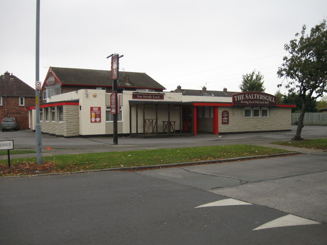
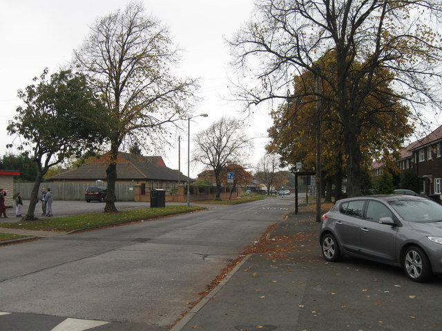
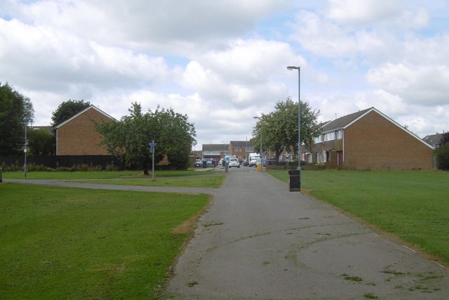
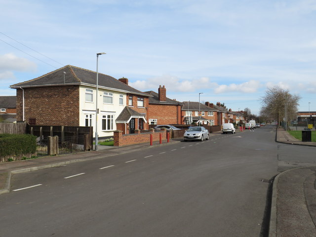
The village is primarily residential, with a mix of housing styles ranging from charming cottages to more modern developments. Amenities in the village include a primary school, a post office, and several small local shops. There is also a community center that hosts various events and activities for residents.

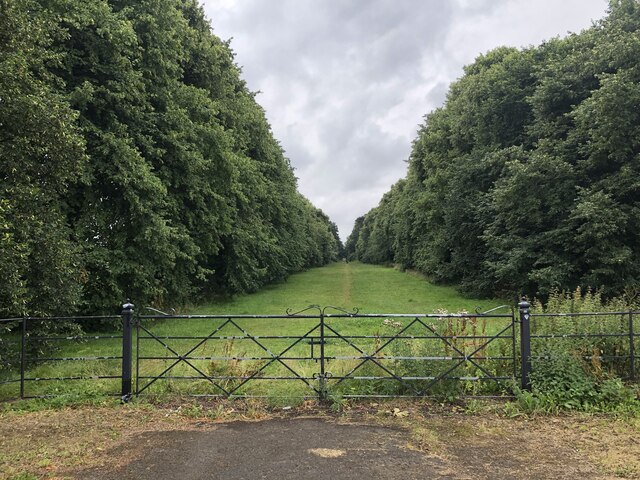
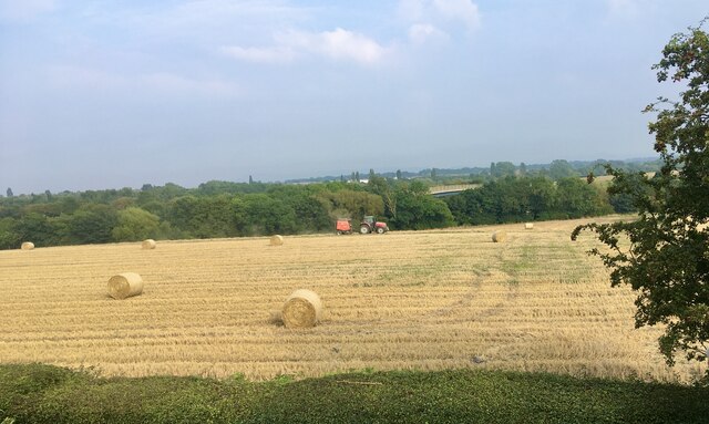
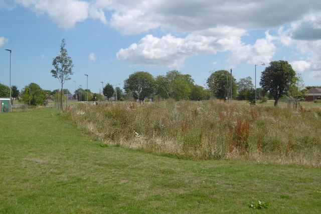
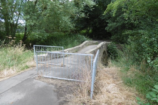
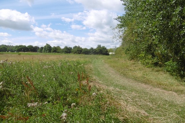
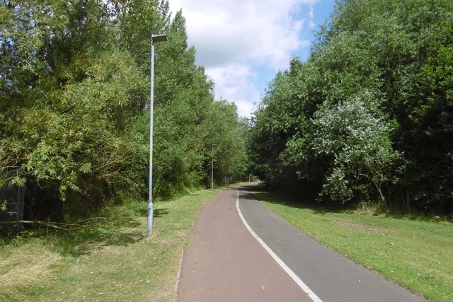
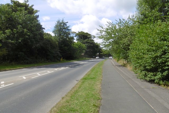
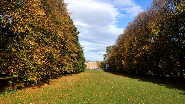
Acklam is surrounded by beautiful countryside, providing ample opportunities for outdoor activities such as walking, cycling, and horse riding. The nearby Acklam Hall, a Grade I listed building, is a popular attraction. This historic mansion dates back to the 17th century and is set within stunning landscaped gardens.

Transport links in Acklam are convenient, with easy access to major roads, including the A19 and A66. The village is also served by regular bus services, providing connections to nearby towns and cities.

Overall, Acklam offers a peaceful and picturesque setting with a close-knit community, making it an attractive place to live for those seeking a quieter lifestyle within easy reach of urban amenities.

If you have any feedback on the listing, please let us know in the comments section below.
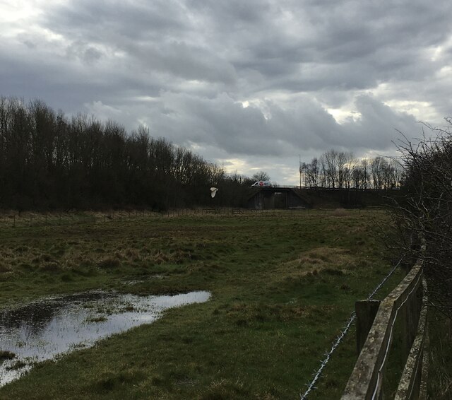
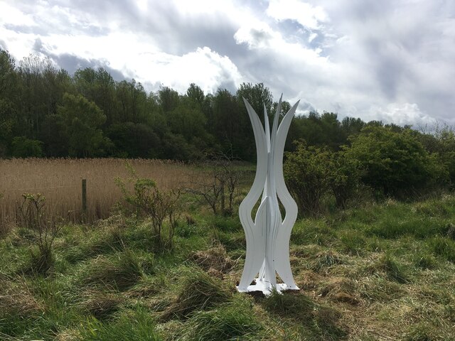
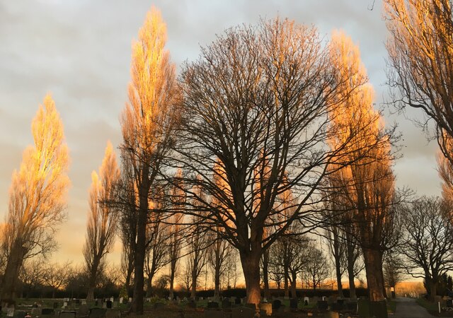
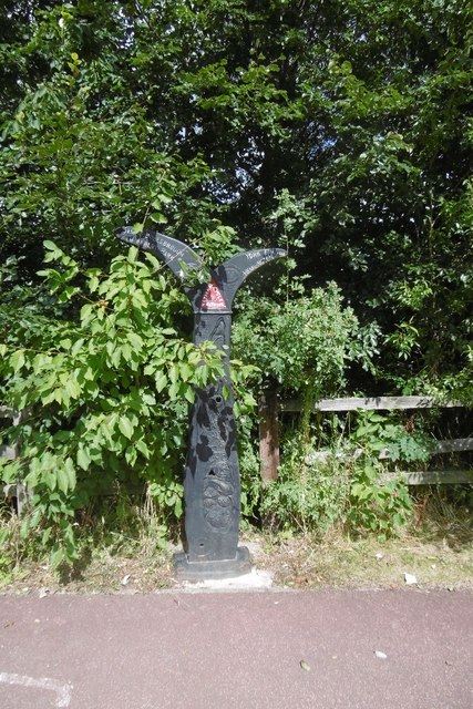
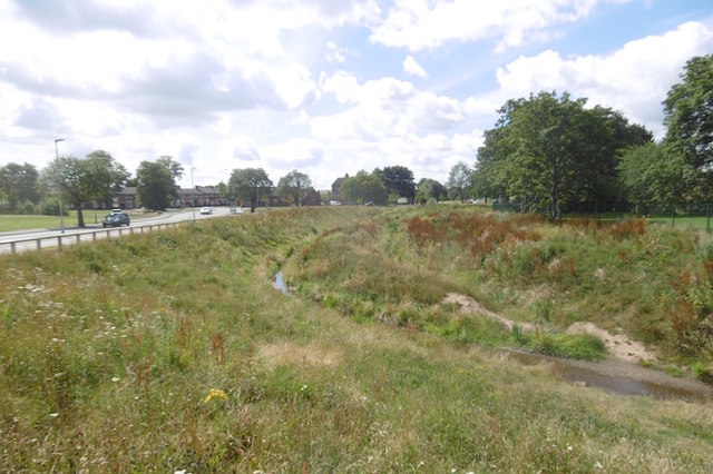
Acklam Images

Images are sourced within 2km of 54.543271/-1.254137 or Grid Reference NZ4816. Thanks to Geograph Open Source API. All images are credited.

Tees Valley Hospital Tees Valley Hospital is a private hospital owned by Ramsey Health Care, built in 2018.
Tees Valley Hospital
Tees Valley Hospital is a private hospital owned by Ramsey Health Care, built in 2018.
The Avenue of Trees Tracing the original route to the front of Grade I listed former mansion, Acklam Hall. The vast majority of the Hall's former land has been swallowed up into the suburbs of Middlesbrough. The Hall is today a wedding venue and also houses conference facilities and a restaurant.
The Avenue of Trees
Tracing the original route to the front of Grade I listed former mansion, Acklam Hall. The vast majority of the Hall's former land has been swallowed up into the suburbs of Middlesbrough. The Hall is today a wedding venue and also houses conference facilities and a restaurant.
The Fleet Horse pastures between the Fleet and Thornaby cemetery. The photo includes a barn owl hunting in daylight.
The Fleet
Horse pastures between the Fleet and Thornaby cemetery. The photo includes a barn owl hunting in daylight.
Old River Tees sculpture Part of the River Tees Rediscovered sculpture trail. This is No. 10 out of 25 and is titled “Old River Tees Rewilding”.
Old River Tees sculpture
Part of the River Tees Rediscovered sculpture trail. This is No. 10 out of 25 and is titled “Old River Tees Rewilding”.
Thornaby cemetery  Thornaby cemetery as the sun is setting highlighting the Poplar trees.
Thornaby cemetery
Thornaby cemetery as the sun is setting highlighting the Poplar trees.
Harvest time A view of farmland between Thornaby and Acklam.
Harvest time
A view of farmland between Thornaby and Acklam.
The Saltersgill
The Saltersgill
Saltersgill Avenue
Saltersgill Avenue
Off Aspen Drive Informal park near the Marton Beck.
Off Aspen Drive
Informal park near the Marton Beck.
Newham Bridge The usual annoying barriers, not as bad as the A frames though.  The bridge once linked Salter Gill  Farm and Newham Bridge Farm before the area was swallowed up by Middlesbrough.
Newham Bridge
The usual annoying barriers, not as bad as the A frames though. The bridge once linked Salter Gill Farm and Newham Bridge Farm before the area was swallowed up by Middlesbrough.
Towards Cranswick Drive View from Newham Bridge.
Towards Cranswick Drive
View from Newham Bridge.
Path, Sandyflat Once Sandyflat Farm, these former fields are now a suburban park.
Path, Sandyflat
Once Sandyflat Farm, these former fields are now a suburban park.
Path, Sandyflat Heading for Ladgate Lane.  There is the usual Teeside centre line and which ever side is the bike lane is randomly chosen, and switches.
Path, Sandyflat
Heading for Ladgate Lane. There is the usual Teeside centre line and which ever side is the bike lane is randomly chosen, and switches.
Millennium Milepost, Ladgate Lane
Marton West Beck Beside The Vale.  Definitely crossed the line between burns and becks now.
Marton West Beck
Beside The Vale. Definitely crossed the line between burns and becks now.
Ladgate Lane Passing the site of Sandyflat (left).
Ladgate Lane
Passing the site of Sandyflat (left).
Acklam Hall A magnificent avenue of trees, one kilometre long leading to the Grade 1 listed Acklam Hall built by Sir William Hustler around 1680. The house has notable interior joinery and plasterwork, which have somehow survived its latter 20th-century life as a school. It is now a business centre, wedding venue and restaurant.

From my blog <span class="nowrap"><a title="http://www.fhithich.uk/?p=20355" rel="nofollow ugc noopener" href="http://www.fhithich.uk/?p=20355">Link</a><img style="margin-left:2px;" alt="External link" title="External link - shift click to open in new window" src="https://s1.geograph.org.uk/img/external.png" width="10" height="10"/></span>
Acklam Hall
A magnificent avenue of trees, one kilometre long leading to the Grade 1 listed Acklam Hall built by Sir William Hustler around 1680. The house has notable interior joinery and plasterwork, which have somehow survived its latter 20th-century life as a school. It is now a business centre, wedding venue and restaurant. From my blog LinkExternal link
Stainsby Road, Middlesbrough Stainsby Road is a residential street in the suburbs of Middlesbrough.
Stainsby Road, Middlesbrough
Stainsby Road is a residential street in the suburbs of Middlesbrough.
Show me another place!

Acklam is located at Grid Ref: NZ4816 (Lat: 54.543271, Lng: -1.254137)

Division: North Riding

Unitary Authority: Middlesbrough

Police Authority: Cleveland

What 3 Words

///apes.giraffes.strain. Near Thornaby-on-Tees, Co. Durham

Nearby Locations

Acklam

Related Wikis

Acklam, Middlesbrough

Acklam is an area in the Borough of Middlesbrough, North Yorkshire, England. It is believed that the settlement is Anglo-Saxon in origin, the name is Old...

St David's School, Middlesbrough

St David's School was a Roman Catholic Technology College in Acklam, Middlesbrough, North Yorkshire, England, specialising in Mathematics, Science, Technology...

Acklam Hall

Acklam Hall is a Restoration mansion in the former village, and now suburb, of Acklam in Middlesbrough, North Yorkshire, England. It is a Grade I listed...

King's Manor School

King's Manor School was a secondary school in Acklam, Middlesbrough, England. It merged with Hall Garth Community Arts College in 2010 to create Oakfields...

Nearby Amenities

Located within 500m of 54.543271,-1.254137
Traffic Signals
Lat/Long: 54.5467253/-1.259015
Pub
Coronation
Lat/Long: 54.5464348/-1.2593762
Fuel
Esso
Brand: Esso
Brand Wikidata: Q867662
Fuel Diesel: yes
Fuel Octane 95: yes
Operator: Rontec
Operator Website: http://www.rontec-servicestations.co.uk/ss_results-id.cfm?id=7020
Operator Wikidata: Q107439152
Shop: kiosk
Lat/Long: 54.5464845/-1.2585287
Acklam
Is In: Middlesbrough,Cleveland,England,United Kingdom,Europe
Is In Town: Middlesbrough
Place: suburb
Wikidata: Q4674269
Wikipedia: en:Acklam, Middlesbrough
Lat/Long: 54.545002/-1.2481608
Traffic Signals
Lat/Long: 54.5431695/-1.2568842
Crossing
Crossing: uncontrolled
Lat/Long: 54.546565/-1.2590776
Turning Circle
Lat/Long: 54.5434581/-1.2587516
Traffic Signals
Lat/Long: 54.5447754/-1.2582164
Crossing
Crossing: island
Lat/Long: 54.5414093/-1.2549417
Barrier: bollard
Lat/Long: 54.5423212/-1.2599216
Barrier: bollard
Bicycle: yes
Foot: yes
Motor Vehicle: no
Lat/Long: 54.5460157/-1.2578532
Fast Food
Acklam Fish Bar
Cuisine: fish_and_chips
Lat/Long: 54.5455071/-1.2579847
Pharmacy
Dispensing: yes
Lat/Long: 54.5453278/-1.2579417
Fast Food
Pizza Pan
Cuisine: pizza
Lat/Long: 54.5456223/-1.2580298
Fast Food
The Regent
Cuisine: chinese
Lat/Long: 54.5454644/-1.2579724
Shop: convenience
Lat/Long: 54.5456994/-1.2580707
Shop: florist
Lat/Long: 54.5455558/-1.2579991
Post Office
Acklam Post Office
Addr City: Middlesbrough
Addr Postcode: TS5 7BP
Addr Suburb: Acklam
Brand: Post Office
Brand Wikidata: Q1783168
Contact Website: https://www.postoffice.co.uk/branch-finder/1513273/acklam
Ref Pol Id: 2873
Lat/Long: 54.5454181/-1.2579602
Operator: Newboulds
Shop: butcher
Lat/Long: 54.5457612/-1.2581014
Atm
Lat/Long: 54.545234/-1.2579888
Shop: hairdresser
Lat/Long: 54.5453789/-1.257952
Entrance: main
Lat/Long: 54.5405367/-1.2563361
Crossing
Crossing: traffic_signals
Lat/Long: 54.5467007/-1.259158
Crossing
Crossing: traffic_signals
Lat/Long: 54.5466033/-1.2589521
Telephone
Lat/Long: 54.5458439/-1.2583399
Barrier: bollard
Bicycle: yes
Foot: yes
Motor Vehicle: no
Lat/Long: 54.5460032/-1.2579176
Public Transport: stop_position
Lat/Long: 54.541749/-1.2605271
Bus Stop
Bus: yes
Naptan AtcoCode: 079073058B
Naptan NaptanCode: mbramdg
Public Transport: platform
Shelter: no
Lat/Long: 54.5417737/-1.2605762
Crossing
Crossing: traffic_signals
Crossing Ref: pelican
Lat/Long: 54.5427341/-1.2584996
Public Transport: stop_position
Lat/Long: 54.5442365/-1.2578001
Public Transport: stop_position
Lat/Long: 54.5451209/-1.2583187
Crossing
Crossing: traffic_signals
Crossing Ref: pelican
Lat/Long: 54.5457169/-1.2584682
Acklam Pet Care
Addr City: Middlesbrough
Addr Postcode: TS5 7EB
Addr Street: Church Lane
Phone: +44 1642 822126
Lat/Long: 54.5455433/-1.25384
Crossing
Crossing: traffic_signals
Lat/Long: 54.5400163/-1.2528592
Bus Stop
Naptan AtcoCode: 079073336C
Naptan NaptanCode: mbrgdmp
Public Transport: platform
Shelter: yes
Source: Bing
Lat/Long: 54.543428/-1.2572169
Public Transport: stop_position
Lat/Long: 54.5434779/-1.2571443
Bus Stop
Public Transport: platform
Shelter: no
Source: Bing
Lat/Long: 54.5442798/-1.257651
Bus Stop
Naptan AtcoCode: 079073057B
Naptan NaptanCode: mbramaw
Public Transport: platform
Shelter: no
Lat/Long: 54.5451101/-1.2584622
Restaurant
Acklam Hall
Lat/Long: 54.5456532/-1.2484152
Generator Method: photovoltaic
Generator Output Electricity: yes
Generator Source: solar
Generator Type: solar_photovoltaic_panel
Location: roof
Power: generator
Lat/Long: 54.5425415/-1.2568309
Generator Method: photovoltaic
Generator Output Electricity: yes
Generator Source: solar
Generator Type: solar_photovoltaic_panel
Location: roof
Power: generator
Lat/Long: 54.5406835/-1.2603147
Generator Method: photovoltaic
Generator Output Electricity: yes
Generator Source: solar
Generator Type: solar_photovoltaic_panel
Location: roof
Power: generator
Lat/Long: 54.5406057/-1.2600599
Generator Method: photovoltaic
Generator Output Electricity: yes
Generator Source: solar
Generator Type: solar_photovoltaic_panel
Location: roof
Power: generator
Lat/Long: 54.541761/-1.2569727
Generator Method: photovoltaic
Generator Output Electricity: yes
Generator Source: solar
Generator Type: solar_photovoltaic_panel
Location: roof
Power: generator
Lat/Long: 54.5399864/-1.2534617
Generator Method: photovoltaic
Generator Output Electricity: yes
Generator Source: solar
Generator Type: solar_photovoltaic_panel
Location: roof
Power: generator
Lat/Long: 54.5400922/-1.2537701
Generator Method: photovoltaic
Generator Output Electricity: yes
Generator Source: solar
Generator Type: solar_photovoltaic_panel
Location: roof
Power: generator
Lat/Long: 54.540114/-1.2536937
Generator Method: photovoltaic
Generator Output Electricity: yes
Generator Source: solar
Generator Type: solar_photovoltaic_panel
Location: roof
Power: generator
Lat/Long: 54.5425304/-1.2595476
Generator Method: photovoltaic
Generator Output Electricity: yes
Generator Source: solar
Generator Type: solar_photovoltaic_panel
Location: roof
Power: generator
Lat/Long: 54.5425631/-1.2600867
Generator Method: photovoltaic
Generator Output Electricity: yes
Generator Source: solar
Generator Type: solar_photovoltaic_panel
Location: roof
Power: generator
Lat/Long: 54.542707/-1.2602906
One Stop
Addr City: Middlesbrough
Addr Housenumber: 288-298
Addr Postcode: TS5 8AY
Addr Street: Acklam Road
Addr Suburb: Acklam
Brand: One Stop
Brand Wikidata: Q65954217
Contact Website: https://www.onestop.co.uk/store/?store=e6d981ae-c56d-4a40-85b5-c6848759ee47
Fhrs Id: 256903
Shop: convenience
Lat/Long: 54.5460755/-1.2589552
The data included in this document is from www.openstreetmap.org. The data is made available under ODbL.

Have you been to Acklam?

Leave your review of Acklam below (or comments, questions and feedback).