Ackergill

Settlement in Caithness

Scotland

Ackergill

Old Caithness-slate wall near Ackergill
Old Caithness-slate wall near Ackergill Credit: sylvia duckworth

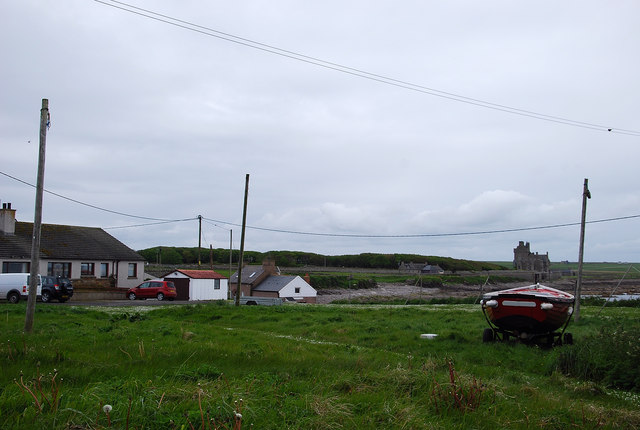
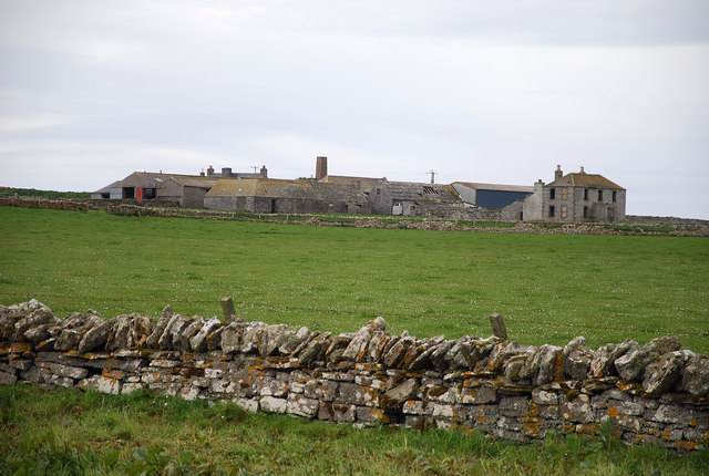
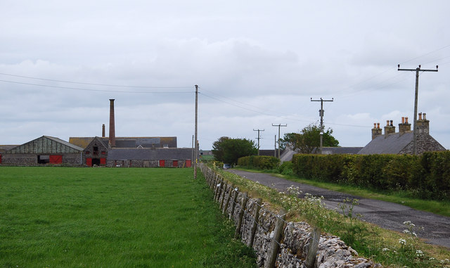
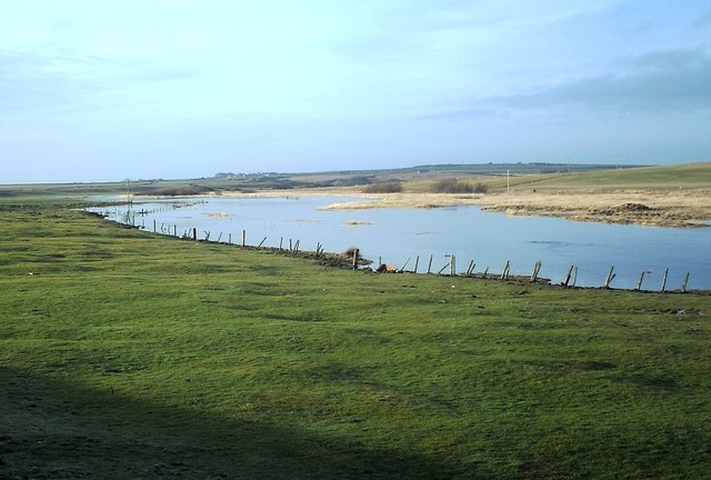
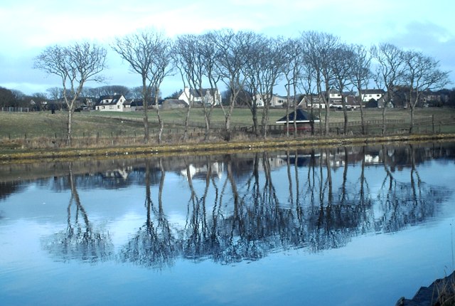
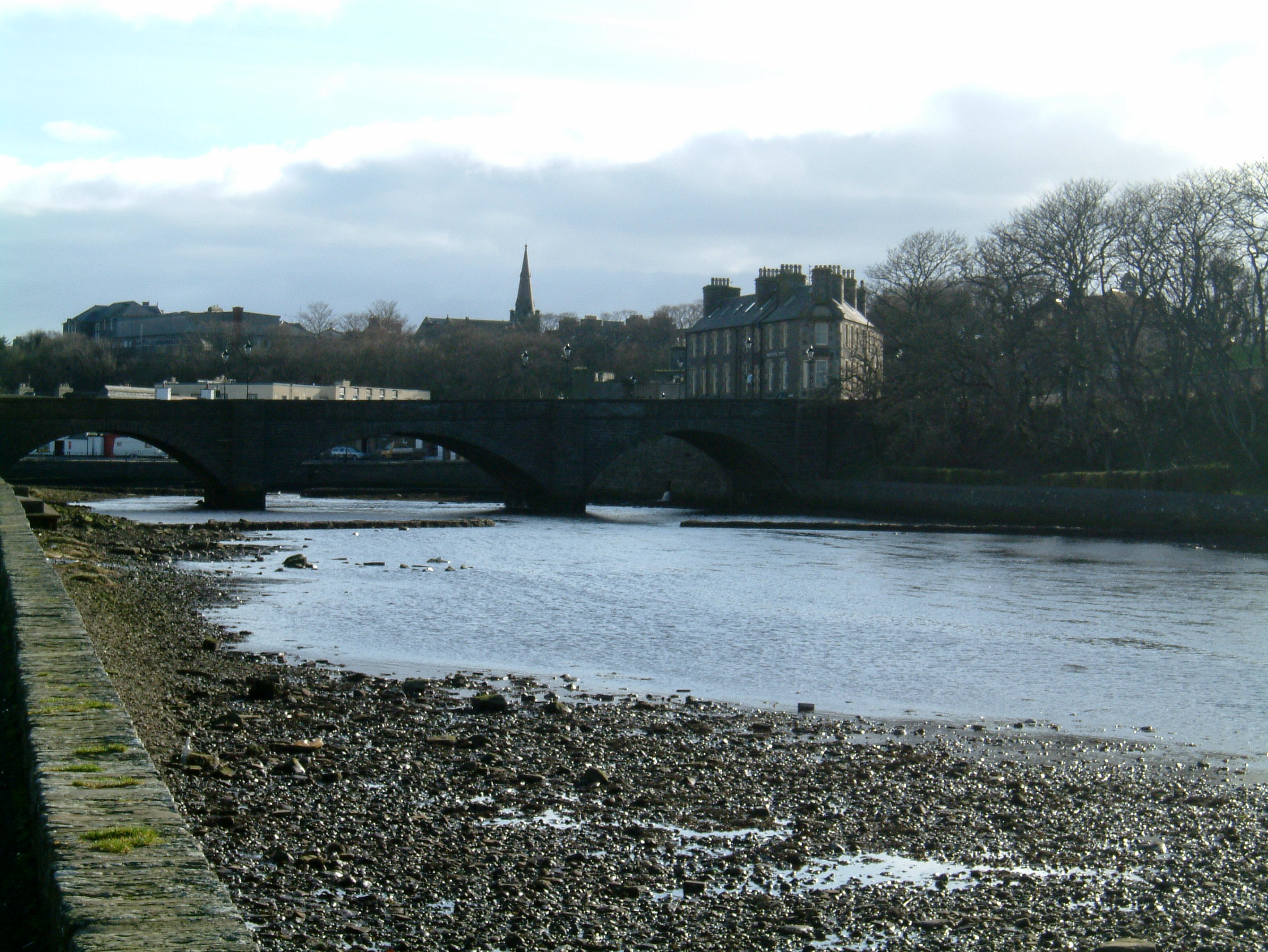
Ackergill is a small coastal village located in the county of Caithness, in the northernmost region of mainland Scotland. Situated on the east coast, it lies approximately 4 miles north of the larger town of Wick. The village is bordered by the North Sea to the east, offering breathtaking views of the rugged coastline and nearby islands.

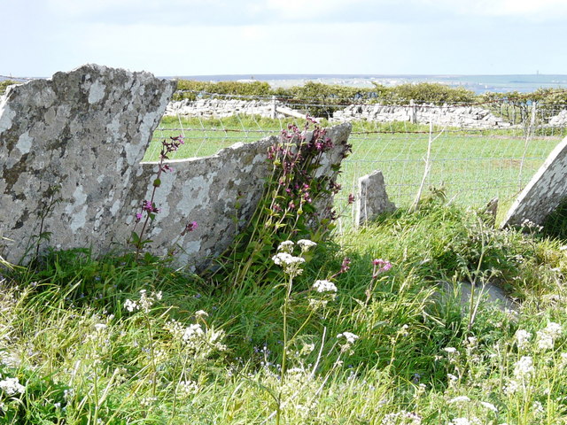
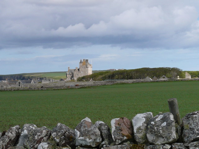
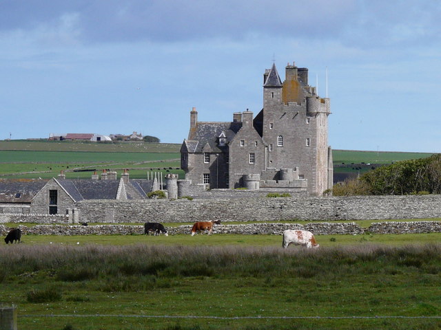
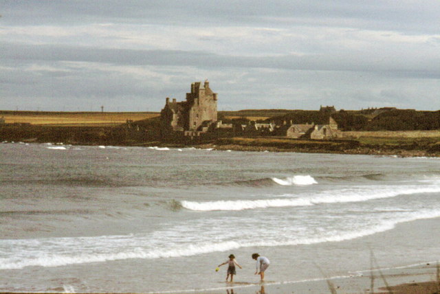
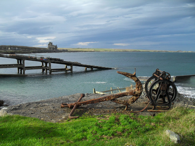
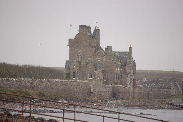
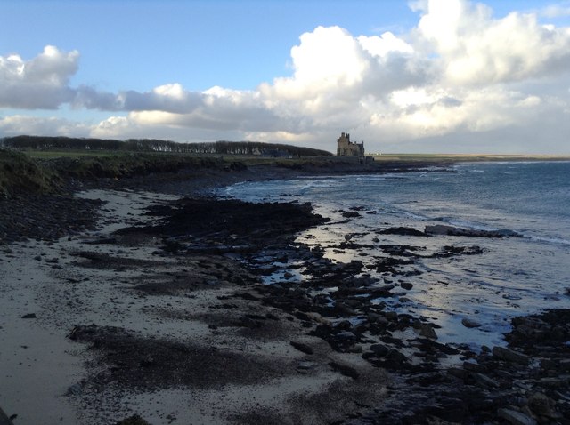
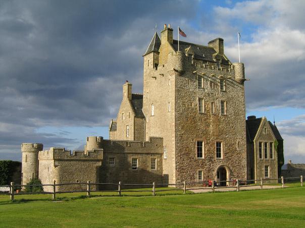
With a population of around 200 residents, Ackergill is known for its tranquil and picturesque surroundings. The area is rich in history, with the ruins of Ackergill Tower, a 15th-century castle, serving as a prominent landmark. The tower has been restored and transformed into a luxury hotel, attracting tourists and history enthusiasts alike.

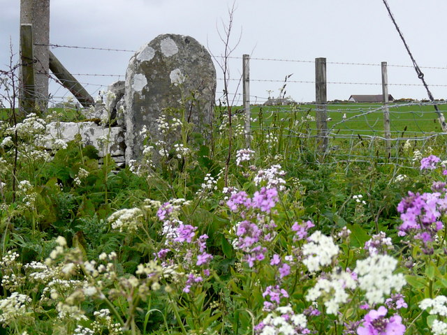
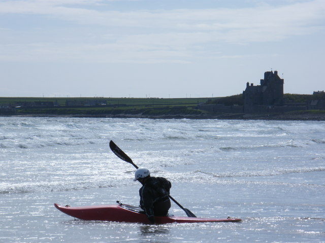
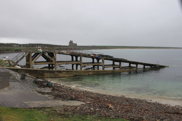
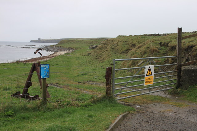
The village primarily relies on tourism and fishing for its economy. Visitors are drawn to Ackergill for its stunning beaches, including Sinclair's Bay and Ackergillshore, which offer opportunities for coastal walks, birdwatching, and water sports. The area is also popular for angling, with the nearby River Wick providing excellent fishing grounds.

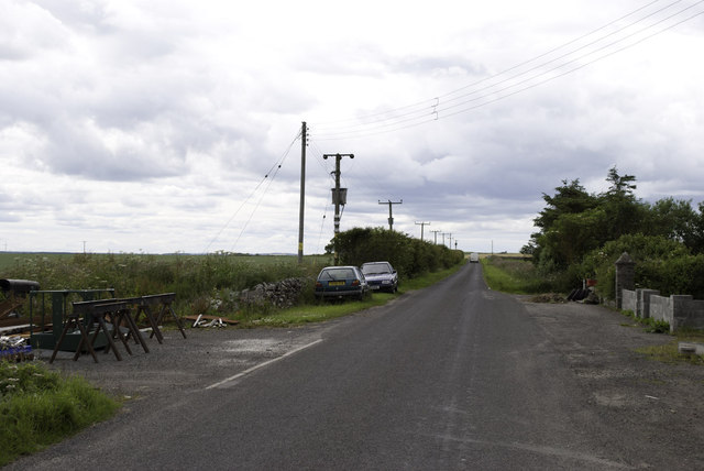
Despite its small size, Ackergill boasts a close-knit community and a range of amenities for residents and visitors. These include a village hall, a small shop, and a primary school. The village is well-connected to the surrounding areas by road, with regular bus services to Wick and other nearby towns.

In summary, Ackergill is a charming coastal village in Caithness, Scotland, offering a peaceful retreat amidst stunning natural beauty and a wealth of historical attractions.

If you have any feedback on the listing, please let us know in the comments section below.

Ackergill Images

Images are sourced within 2km of 58.460196/-3.113321 or Grid Reference ND3552. Thanks to Geograph Open Source API. All images are credited.

Old Caithness-slate wall near Ackergill
Ackergill Tower
Ackergill Tower
Ackergill Tower
Ackergill Tower
Hedgerow near Reiss With a very old stone gatepost.
Hedgerow near Reiss
With a very old stone gatepost.
Ackergill Green The poles used for the drying of salmon fishers' nets are still standing, even though there is no longer any netting of salmon hereabouts.  This must have been an important station as there is an ice house (or two) down by the harbour.
Ackergill Green
The poles used for the drying of salmon fishers' nets are still standing, even though there is no longer any netting of salmon hereabouts. This must have been an important station as there is an ice house (or two) down by the harbour.
Abandoned Farm Near Ackergill the abandoned and derelict farmsteading of Shorelands makes for sad viewing.  By its size it must have been a substantial business.
Abandoned Farm
Near Ackergill the abandoned and derelict farmsteading of Shorelands makes for sad viewing. By its size it must have been a substantial business.
Farm Track Looking past the cottages to Ackergill Mains.
Farm Track
Looking past the cottages to Ackergill Mains.
Ackergill Tower - 1987 Ackergill Tower and Sinclair's Bay seen from carpark near Ackergill Links.
Ackergill Tower (or Ackergill Castle) is a Scottish castle located north of Wick, Caithness. It is a category A listed building.
Ackergill Tower - 1987
Ackergill Tower and Sinclair's Bay seen from carpark near Ackergill Links. Ackergill Tower (or Ackergill Castle) is a Scottish castle located north of Wick, Caithness. It is a category A listed building.
Ackergill Tower
Ackergill Tower
Ackergill Harbour
Ackergill Harbour
Ackergill Tower from Ackergill Haven
Jetty at Ackergillshore
Coast at Ackergill Haven
Minor road at Market Hill
Ackergill Tower from Sea Otter Cottage View of Ackergill Tower from the beach at Sea Otter Cottage, Ackergill Haven, January 2013
Ackergill Tower from Sea Otter Cottage
View of Ackergill Tower from the beach at Sea Otter Cottage, Ackergill Haven, January 2013
Wick River Nature Reserve This part of the river is tidal and provides a great habitat for wildlife
Wick River Nature Reserve
This part of the river is tidal and provides a great habitat for wildlife
River Reflections It is not often that the water here is so still.
River Reflections
It is not often that the water here is so still.
Wartime Building Wartime building still exists on Westerseat Farm Wick. Modern wind turbines are in the background
Wartime Building
Wartime building still exists on Westerseat Farm Wick. Modern wind turbines are in the background
Show me another place!

Ackergill is located at Grid Ref: ND3552 (Lat: 58.460196, Lng: -3.113321)

Unitary Authority: Highland

Police Authority: Highlands and Islands

What 3 Words

///estimate.glares.likening. Near Wick, Highland

Nearby Locations

Ackergill Lochshell

Related Wikis

Ackergill

Ackergill is a settlement in the Wick, Caithness, in the Highland Council area of Scotland. == History == In Ackergill is a famous tower/castle named Ackergill...
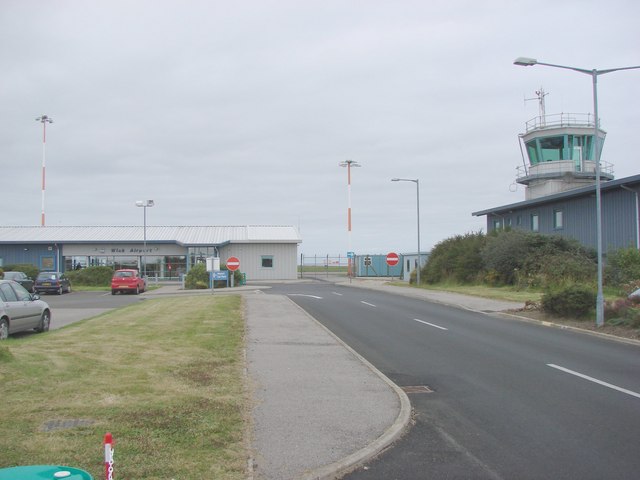
Wick Airport

Wick John O' Groats Airport (IATA: WIC, ICAO: EGPC) (Scottish Gaelic: Port-adhair Inbhir Ùige Taigh Iain Ghròt) is located one nautical mile (two kilometres...

Wick, Caithness

Wick (Scottish Gaelic: Inbhir Ùige [ˈinivɪɾʲˈuːkʲə]; Scots: Week) is a town and royal burgh in Caithness, in the far north of Scotland. The town straddles...

Ackergill Tower

Ackergill Tower (or Ackergill Castle) is located on the coast of Sinclair's Bay, about 4 km north of Wick, Caithness, in northern Scotland. It was built...
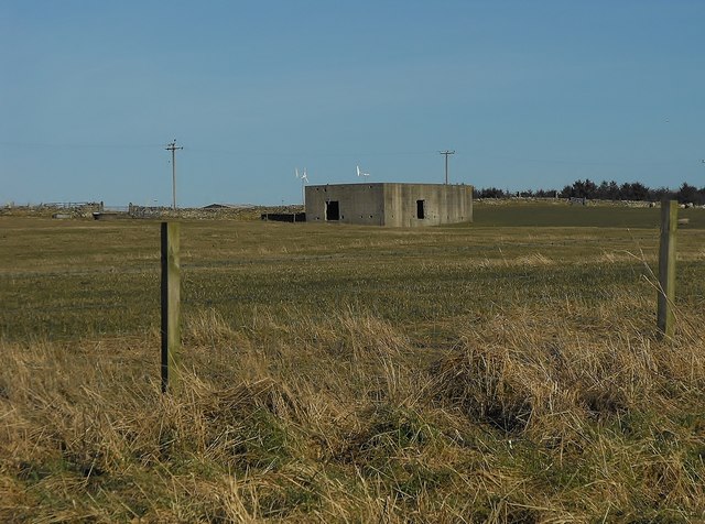
Nearby Amenities

Located within 500m of 58.460196,-3.113321
Bus Stop
Ackergill Road End
Naptan AtcoCode: 6700600182
Naptan Bearing: SE
Naptan CommonName: Ackergill Road End
Naptan Indicator: at Road End
Naptan Landmark: Bus Shelter
Naptan NaptanCode: 45325985
Naptan Street: A99
Naptan Verified: no
Shelter: no
Source: naptan_import
Lat/Long: 58.4600367/-3.1132371
Ackergill
Place: hamlet
Wikidata: Q2044799
Wikipedia: en:Ackergill
Lat/Long: 58.461668/-3.1119764
Lochshell
Place: hamlet
Lat/Long: 58.4572354/-3.109035
Upper Gillock
Place: hamlet
Lat/Long: 58.4579267/-3.1159126
Power: pole
Lat/Long: 58.4625644/-3.1199654
Power: pole
Lat/Long: 58.4627025/-3.1190497
Power: pole
Lat/Long: 58.4628108/-3.1183553
The data included in this document is from www.openstreetmap.org. The data is made available under ODbL.

Have you been to Ackergill?

Leave your review of Ackergill below (or comments, questions and feedback).