Lochshell
Settlement in Caithness
Scotland
Lochshell
The requested URL returned error: 429 Too Many Requests
If you have any feedback on the listing, please let us know in the comments section below.
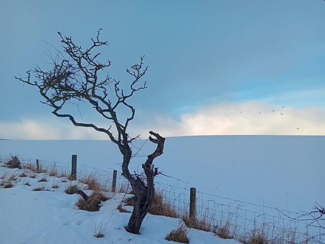
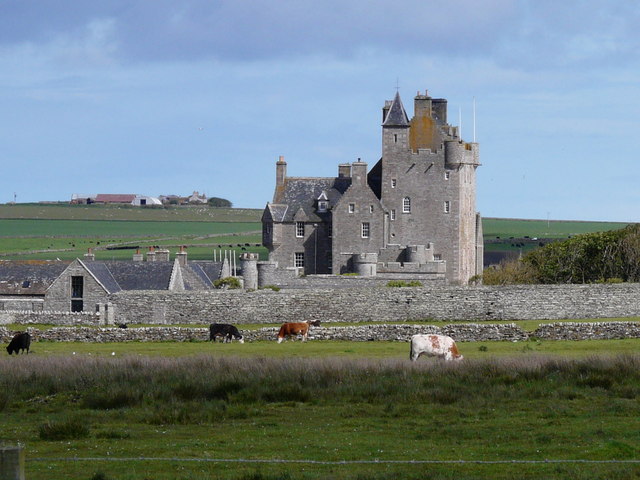
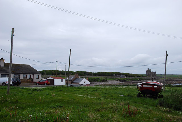
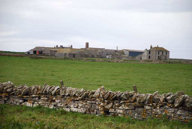
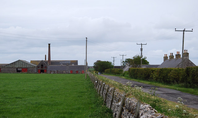
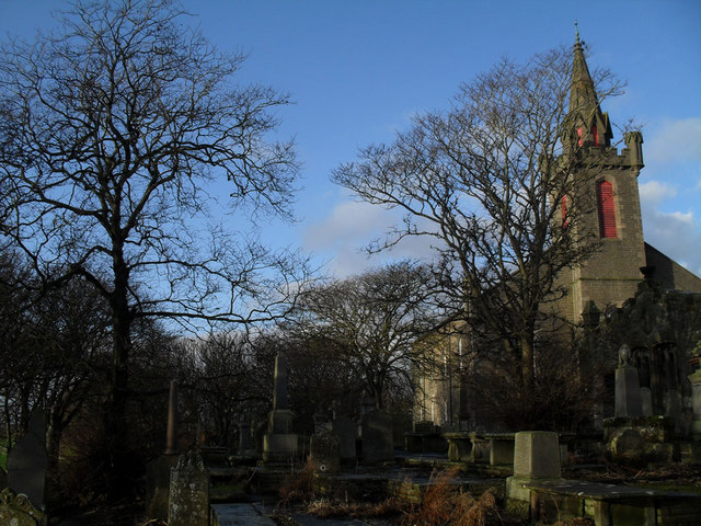
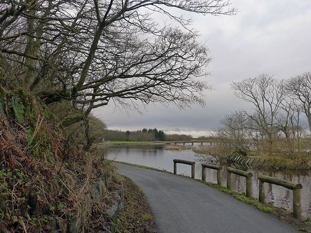
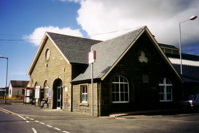
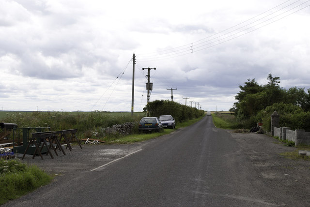
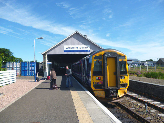
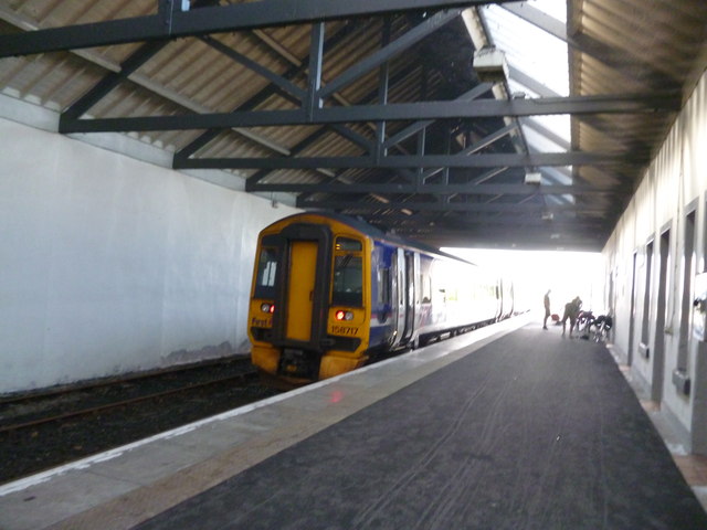
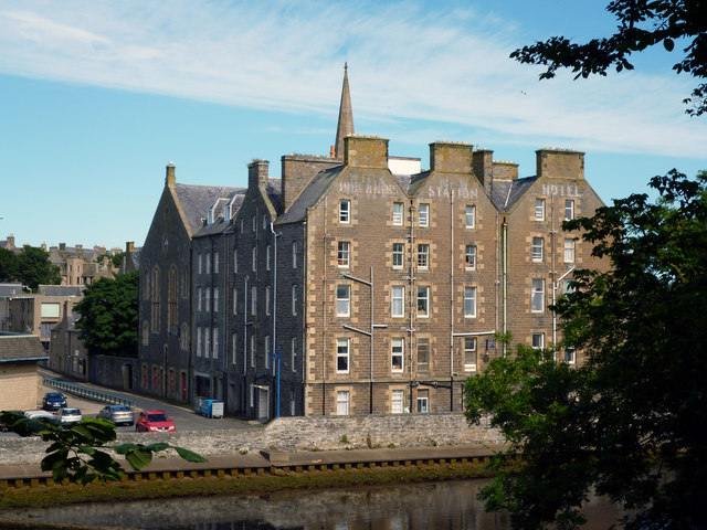
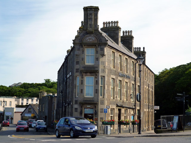
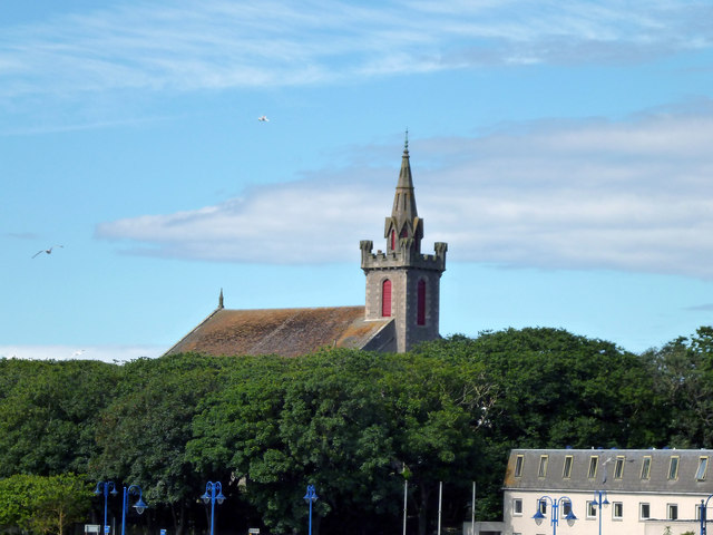
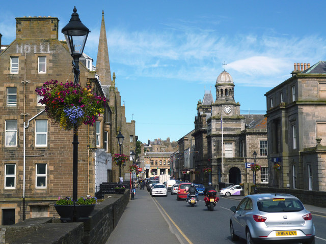
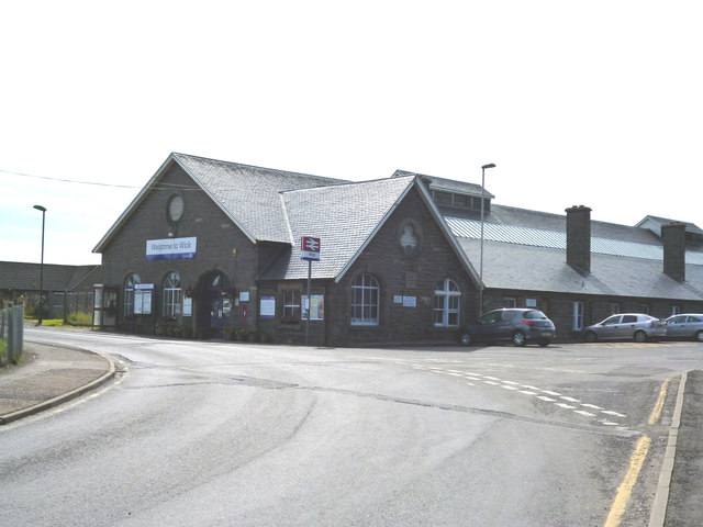
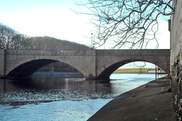
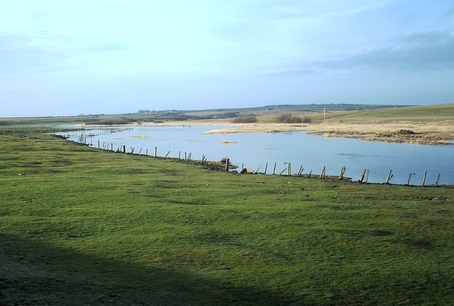
Lochshell Images
Images are sourced within 2km of 58.457104/-3.1095445 or Grid Reference ND3552. Thanks to Geograph Open Source API. All images are credited.
Lochshell is located at Grid Ref: ND3552 (Lat: 58.457104, Lng: -3.1095445)
Unitary Authority: Highland
Police Authority: Highlands and Islands
What 3 Words
///hotdog.thrashed.marmalade. Near Wick, Highland
Related Wikis
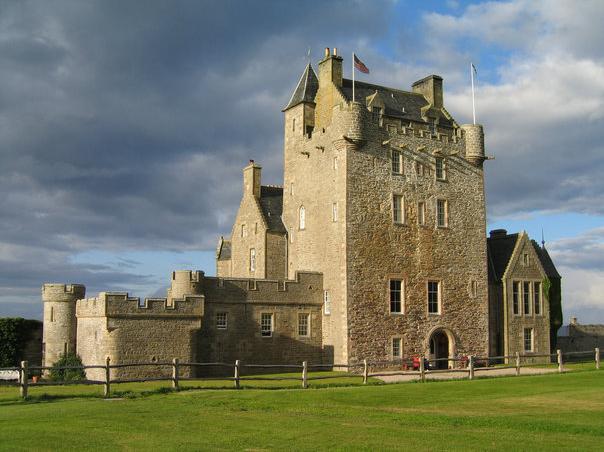
Ackergill
Ackergill is a settlement in the Wick, Caithness, in the Highland Council area of Scotland. == History == In Ackergill is a famous tower/castle named Ackergill...
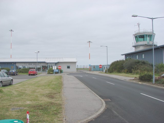
Wick Airport
Wick John O' Groats Airport (IATA: WIC, ICAO: EGPC) (Scottish Gaelic: Port-adhair Inbhir Ùige Taigh Iain Ghròt) is located one nautical mile (two kilometres...
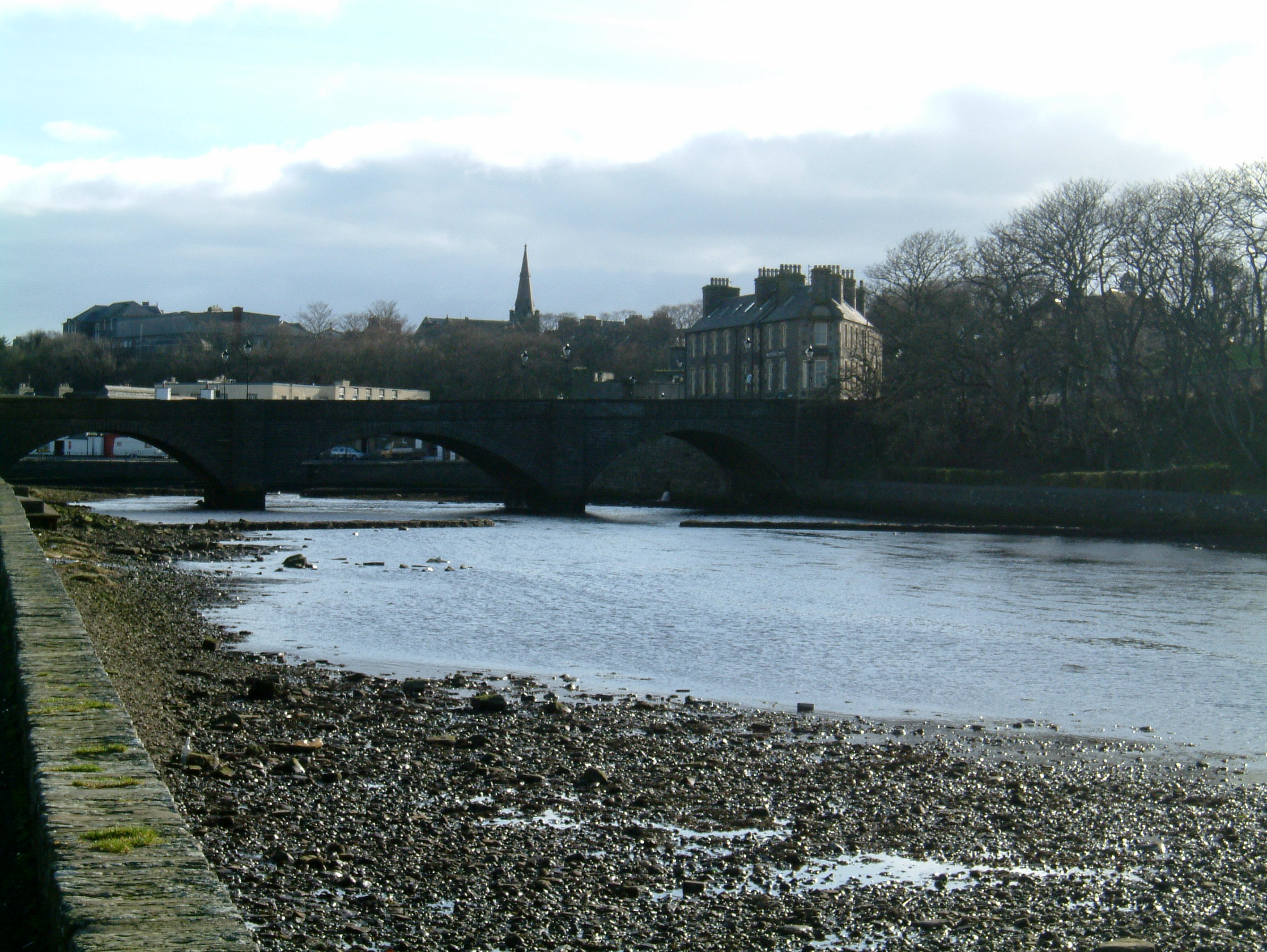
Wick, Caithness
Wick (Scottish Gaelic: Inbhir Ùige [ˈinivɪɾʲˈuːkʲə]; Scots: Week) is a town and royal burgh in Caithness, in the far north of Scotland. The town straddles...
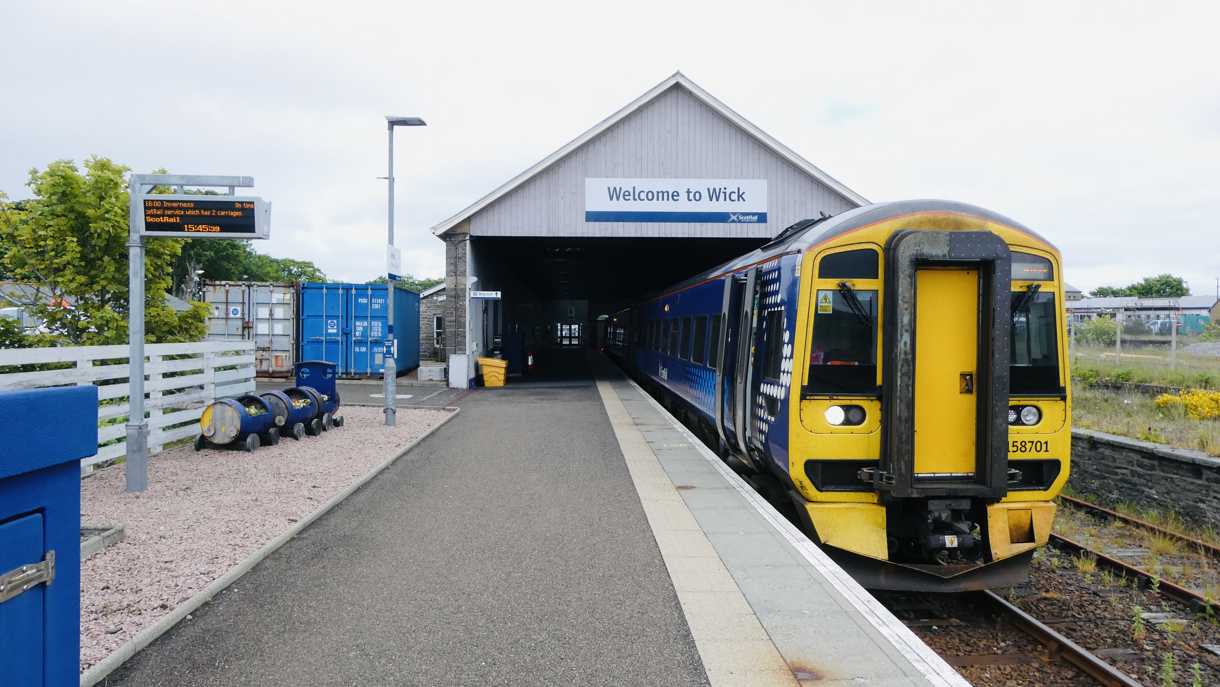
Wick railway station
Wick railway station is a railway station located in Wick, in the Highland council area in the far north of Scotland. It serves the town of Wick and other...
Nearby Amenities
Located within 500m of 58.457104,-3.1095445Have you been to Lochshell?
Leave your review of Lochshell below (or comments, questions and feedback).