Ackenthwaite

Settlement in Westmorland South Lakeland

England

Ackenthwaite

Deepthwaite view Viewed at the farm while climbing up from Stainton Beck on a bright April morning.
Deepthwaite view Credit: Mary and Angus Hogg

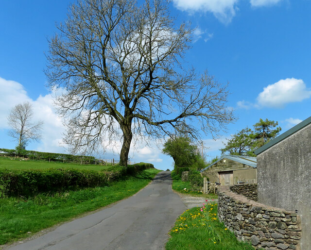
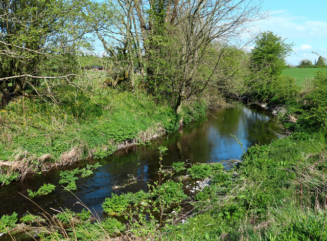
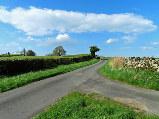
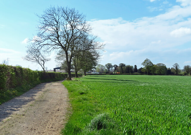
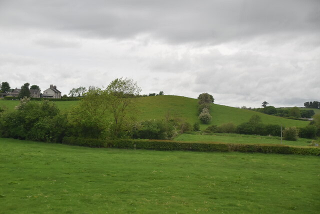
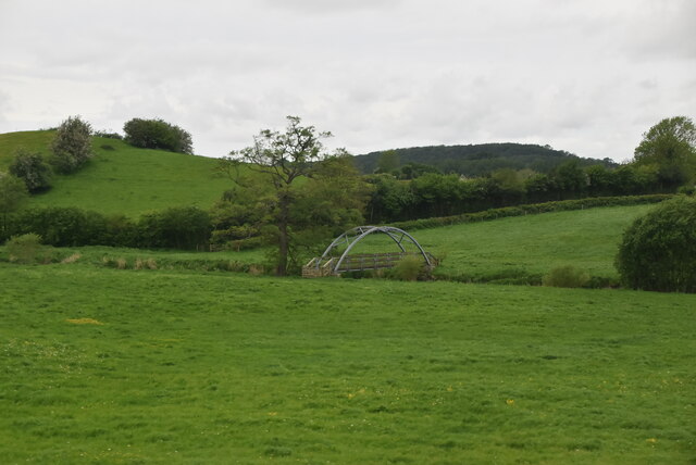
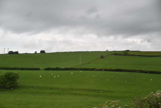
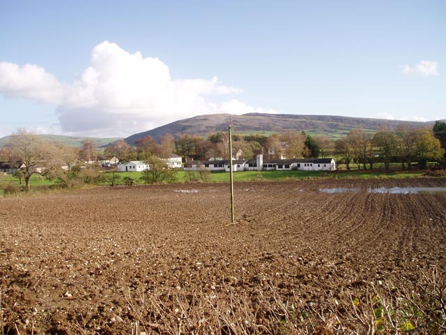
Ackenthwaite is a small village located in the historic county of Westmorland, in the North West of England. It is situated in the scenic region of the Lake District, known for its breathtaking landscapes and picturesque countryside. The village is nestled amidst rolling hills and lush green fields, providing a tranquil and idyllic setting for its residents.

With a population of just over 200 people, Ackenthwaite is a close-knit community that offers a peaceful rural lifestyle. The village is predominantly residential, with a mix of traditional stone cottages and more modern houses. The architecture reflects the area's rich history and rural character.

Despite its small size, Ackenthwaite has a strong sense of community and boasts a range of amenities for its residents. These include a local pub, a village hall, and a primary school, providing essential services within walking distance.

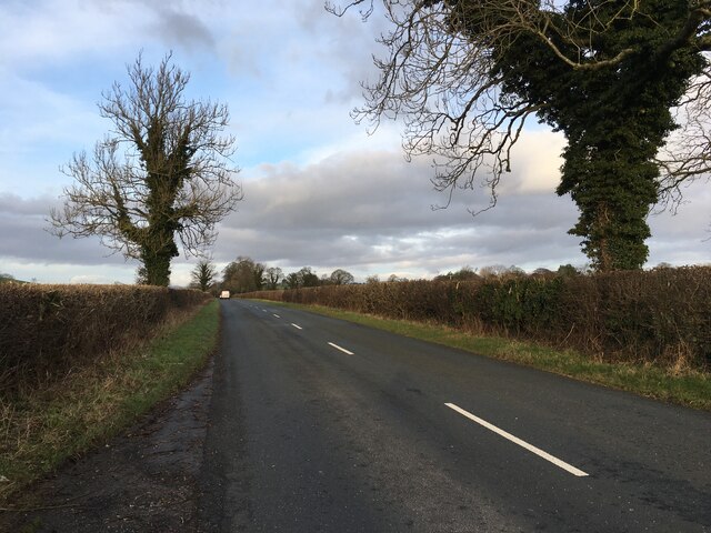
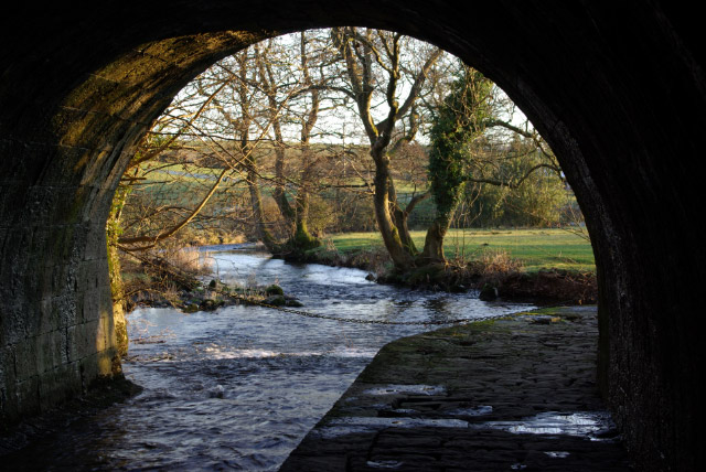
The village is surrounded by natural beauty, making it a popular destination for outdoor enthusiasts. The nearby countryside offers numerous walking and hiking trails, allowing residents and visitors to explore the stunning landscapes and enjoy the fresh air.

Ackenthwaite's location within the Lake District also provides easy access to a range of attractions and activities. The village is within a short driving distance of popular tourist destinations such as Windermere, Ambleside, and Kendal, where visitors can find a variety of shops, restaurants, and cultural landmarks.

Overall, Ackenthwaite offers a charming and peaceful place to live or visit, with its picturesque surroundings, strong community spirit, and convenient access to the wider Lake District region.

If you have any feedback on the listing, please let us know in the comments section below.
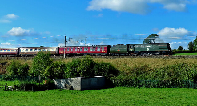
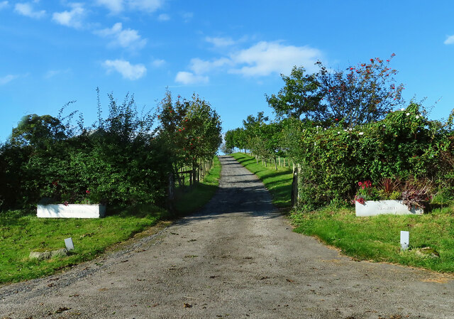
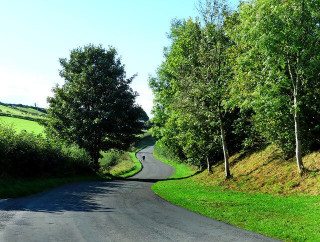
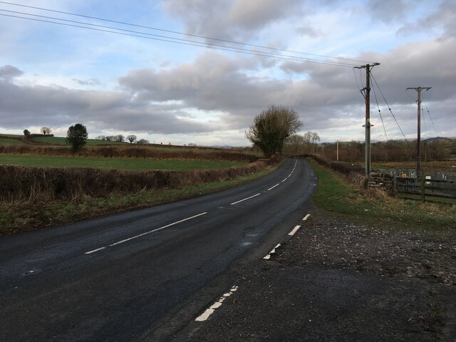
Ackenthwaite Images

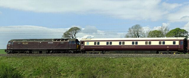
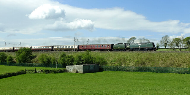
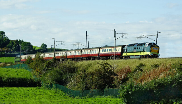
Images are sourced within 2km of 54.228545/-2.757752 or Grid Reference SD5081. Thanks to Geograph Open Source API. All images are credited.

Deepthwaite view Viewed at the farm while climbing up from Stainton Beck on a bright April morning.
Deepthwaite view
Viewed at the farm while climbing up from Stainton Beck on a bright April morning.
Stainton Beck Viewed on the corner of the square on a bright April morning.
Stainton Beck
Viewed on the corner of the square on a bright April morning.
This way to Rowell This minor road leads to Rowell Farm and then continues to the A6 at Milnthorpe.
This way to Rowell
This minor road leads to Rowell Farm and then continues to the A6 at Milnthorpe.
Rowell Bridge Rowell Bridge takes the B6385 over Stainton Beck.
Rowell Bridge
Rowell Bridge takes the B6385 over Stainton Beck.
Towards Kidside There's public access by foot along the track to Kidside Farm.
Towards Kidside
There's public access by foot along the track to Kidside Farm.
Alnwick Castle goes north Locomotive 57316 “Alnwick Castle” acted as the support engine for the Great Britain XIV Railtour in April 2022. The class 57 diesel engines were remanufactured from redundant class 47s around 1998.
Alnwick Castle goes north
Locomotive 57316 “Alnwick Castle” acted as the support engine for the Great Britain XIV Railtour in April 2022. The class 57 diesel engines were remanufactured from redundant class 47s around 1998.
Tangmere hauls the GB XIV Railtour Locomotive 34067 “Tangmere” is a Battle of Britain class engine named after RAF Tangmere. Rail enthusiasts nicknamed the class “Spam Cans” because of its unusual shape. Viewed heading north on the main West Coast line for the Great Britain XIV Railtour in April 2022. The whole train was gleaming in the spring sunshine.
Tangmere hauls the GB XIV Railtour
Locomotive 34067 “Tangmere” is a Battle of Britain class engine named after RAF Tangmere. Rail enthusiasts nicknamed the class “Spam Cans” because of its unusual shape. Viewed heading north on the main West Coast line for the Great Britain XIV Railtour in April 2022. The whole train was gleaming in the spring sunshine.
Royal Scots Grey The newly-refurbished D9000 Royal Scots Grey led the rescheduled Deltic Delight rail tour on 24 September. Photographed on the north-bound leg near Deepthwaite.
Royal Scots Grey
The newly-refurbished D9000 Royal Scots Grey led the rescheduled Deltic Delight rail tour on 24 September. Photographed on the north-bound leg near Deepthwaite.
Tangmere heads north Battle of Britain class locomotive 34067 “Tangmere” heading north on a steam special tour on 24 September.
Tangmere heads north
Battle of Britain class locomotive 34067 “Tangmere” heading north on a steam special tour on 24 September.
Highfield Farm entrance A mid-September view of the farm entrance.
Highfield Farm entrance
A mid-September view of the farm entrance.
Coming from Ackenthwaite A dog-walker uses the minor road between Ackenthwaite and Woodhouse on a bright mid-September morning.
Coming from Ackenthwaite
A dog-walker uses the minor road between Ackenthwaite and Woodhouse on a bright mid-September morning.
B6385 near Main Line industrial estate
B6385 near Ackenthwaite
Old Boundary Marker on the B6385 Parish Boundary Marker on the northwest side of the B6385 opposite an electricity substation. Inscribed M H on the boundary of Milnthorpe and Heversham parishes.

Milestone Society National ID: WE_MILHEV03pb
Old Boundary Marker on the B6385
Parish Boundary Marker on the northwest side of the B6385 opposite an electricity substation. Inscribed M H on the boundary of Milnthorpe and Heversham parishes. Milestone Society National ID: WE_MILHEV03pb
Old Boundary Marker beside the B6385 on Rowell Bridge Parish Boundary Marker against the parapet of Rowell Bridge, Stainton Beck, on the southeast side of the B6385. On the boundary of Heversham and Preston Richard parishes.

Milestone Society National ID: WE_HEVPRI01pb
Old Boundary Marker beside the B6385 on Rowell Bridge
Parish Boundary Marker against the parapet of Rowell Bridge, Stainton Beck, on the southeast side of the B6385. On the boundary of Heversham and Preston Richard parishes. Milestone Society National ID: WE_HEVPRI01pb
Farmland
Farmland
Footbridge, River Bela
Sheep grazing
Sheep grazing
Show me another place!

Ackenthwaite is located at Grid Ref: SD5081 (Lat: 54.228545, Lng: -2.757752)

Administrative County: Cumbria

District: South Lakeland

Police Authority: Cumbria

What 3 Words

///reputable.dandelions.balance. Near Milnthorpe, Cumbria

Nearby Locations

Whasset Ackenthwaite

Related Wikis

Nearby Amenities

Located within 500m of 54.228545,-2.757752
Mini Roundabout
Direction: clockwise
Lat/Long: 54.2282316/-2.7644483
Post Box
Post Box Type: pillar
Ref: LA7 232
Lat/Long: 54.2284242/-2.763478
Post Box
Post Box Type: wall
Ref: LA7 230
Royal Cypher: GVIR
Royal Cypher Wikidata: Q33102169
Lat/Long: 54.2295133/-2.7590363
Bus Stop
Sungarth
Bench: no
Bin: no
Bus: yes
Lit: no
Naptan AtcoCode: 090079501472
Naptan Bearing: W
Naptan BusStopType: CUS
Naptan CommonName: Sungarth
Naptan Indicator: near
Naptan Landmark: near Junction with B6385 opposite Sungarth
Naptan NaptanCode: cumdmajp
Naptan Street: B6384
Naptan Verified: no
Public Transport: platform
Shelter: no
Source: naptan_import
Tactile Paving: no
Lat/Long: 54.2280115/-2.7638561
Bus Stop
Dallam School
Bus: yes
Naptan AtcoCode: 090079501717
Naptan Bearing: E
Naptan BusStopType: CUS
Naptan CommonName: Dallam School
Naptan Indicator: near
Naptan Landmark: junction with B6384
Naptan LocalityCode: E0006114
Naptan NaptanCode: cumdmajt
Naptan Street: B6385
Naptan Verified: no
Public Transport: platform
Ref: cumdmajt
Source: naptan_import
Lat/Long: 54.2283898/-2.76361
Turning Circle
Lat/Long: 54.2281721/-2.7609198
Waste Basket
Lat/Long: 54.2284487/-2.763552
Telephone
Defibrillator
Booth: KX100
Covered: booth
Defibrillator Location: inside old phone box on Kirkgate Lane, Ackenthwaite
Emergency: defibrillator
Man Made: telephone_box
Ref GB The Circuit: B6BECEE6-ACE3-4E74-AC57-ADEC00FB1AAE
Source: survey
Lat/Long: 54.2294287/-2.7614913
Location Transition: yes
Material: wood
Power: pole
Transformer: yes
Lat/Long: 54.2279465/-2.7642612
Material: wood
Power: pole
Lat/Long: 54.2259269/-2.7638152
Material: wood
Power: pole
Lat/Long: 54.2270071/-2.7640561
Material: wood
Power: pole
Lat/Long: 54.2243301/-2.7580787
Material: wood
Power: pole
Lat/Long: 54.2242089/-2.7587873
Material: wood
Power: pole
Lat/Long: 54.2247478/-2.7584964
Power: pole
Lat/Long: 54.2243402/-2.7596417
Material: wood
Power: pole
Lat/Long: 54.2248444/-2.7593596
Power: pole
Lat/Long: 54.2281088/-2.7534181
Power: pole
Lat/Long: 54.2276485/-2.7547923
Power: pole
Lat/Long: 54.2273193/-2.7558839
Power: pole
Lat/Long: 54.2264694/-2.7586493
Power: pole
Lat/Long: 54.226921/-2.7572063
Power: pole
Lat/Long: 54.231721/-2.753537
Power: pole
Lat/Long: 54.2309306/-2.7541646
Power: pole
Lat/Long: 54.2302355/-2.7547188
Power: pole
Lat/Long: 54.2293407/-2.7554292
Power: pole
Lat/Long: 54.2285266/-2.7560797
Power: pole
Lat/Long: 54.2277677/-2.7567342
Power: pole
Lat/Long: 54.2270433/-2.7581128
Power: pole
Lat/Long: 54.2266568/-2.7588947
Power: pole
Lat/Long: 54.2266168/-2.7588236
Power: pole
Lat/Long: 54.2270323/-2.7579975
Power: pole
Lat/Long: 54.2277348/-2.756635
Power: pole
Lat/Long: 54.228514/-2.7559805
Power: pole
Lat/Long: 54.229321/-2.7553547
Power: pole
Lat/Long: 54.2302125/-2.7546267
Power: pole
Lat/Long: 54.2309046/-2.7540766
Power: pole
Lat/Long: 54.2316932/-2.7534487
Dallam School
Bus: yes
Naptan AtcoCode: 090079501472
Naptan Bearing: W
Naptan BusStopType: CUS
Naptan CommonName: Dallam School
Naptan Indicator: opp
Naptan Landmark: near Junction with B6385 opposite Sungarth
Naptan LocalityCode: E0006114
Naptan NaptanCode: cumdmajp
Naptan Street: B6384
Naptan Verified: no
Public Transport: stop_position
Ref: cumdmajp
Lat/Long: 54.2280499/-2.7638401
Bus Stop
Innisfree
Bus: yes
Local Ref: AT
Naptan AtcoCode: 090079501925
Naptan Bearing: E
Naptan BusStopType: CUS
Naptan CommonName: Innisfree
Naptan Indicator: at
Naptan Landmark: Innisfree opposite Holmesteads
Naptan NaptanCode: cumdmama
Naptan Street: B6385
Naptan Verified: no
Public Transport: platform
Source: naptan_import
Lat/Long: 54.2290721/-2.760609
Bus Stop
Main B6385 junction
Bench: no
Bin: no
Bus: yes
Lit: no
Local Ref: AT
Naptan AtcoCode: 090079503474
Naptan Bearing: E
Naptan BusStopType: CUS
Naptan CommonName: Main B6385 junction
Naptan Indicator: at
Naptan Landmark: junction with B6385
Naptan NaptanCode: cumdmapg
Naptan Street: B6384
Naptan Verified: no
Public Transport: platform
Shelter: no
Source: naptan_import
Tactile Paving: no
Lat/Long: 54.2280799/-2.7638307
Dallam School
Bus: yes
Public Transport: stop_position
Lat/Long: 54.2283559/-2.763568
Innisfree
Bus: yes
Public Transport: stop_position
Lat/Long: 54.2290472/-2.7606
Generator Method: photovoltaic
Generator Orientation: south_west
Generator Output Electricity: yes
Generator Solar Modules: 16
Generator Source: solar
Generator Type: solar_photovoltaic_panel
Location: roof
Power: generator
Lat/Long: 54.2279839/-2.7614678
Generator Method: photovoltaic
Generator Orientation: south
Generator Output Electricity: yes
Generator Solar Modules: 22
Generator Source: solar
Generator Type: solar_photovoltaic_panel
Location: roof
Power: generator
Lat/Long: 54.2287761/-2.7607747
Generator Method: photovoltaic
Generator Orientation: south_west
Generator Output Electricity: yes
Generator Solar Modules: 18
Generator Source: solar
Generator Type: solar_photovoltaic_panel
Location: roof
Power: generator
Lat/Long: 54.2291593/-2.761754
Generator Method: photovoltaic
Generator Orientation: south_east
Generator Output Electricity: yes
Generator Solar Modules: 5
Generator Source: solar
Generator Type: solar_photovoltaic_panel
Location: roof
Power: generator
Lat/Long: 54.2297106/-2.7617364
Generator Method: photovoltaic
Generator Orientation: south
Generator Output Electricity: yes
Generator Solar Modules: 10
Generator Source: solar
Generator Type: solar_photovoltaic_panel
Location: roof
Power: generator
Lat/Long: 54.229623/-2.7612211
Generator Method: photovoltaic
Generator Orientation: south
Generator Output Electricity: yes
Generator Solar Modules: 12
Generator Source: solar
Generator Type: solar_photovoltaic_panel
Location: roof
Power: generator
Lat/Long: 54.2297259/-2.7607717
Generator Method: photovoltaic
Generator Orientation: south
Generator Output Electricity: yes
Generator Solar Modules: 14
Generator Source: solar
Generator Type: solar_photovoltaic_panel
Location: roof
Power: generator
Lat/Long: 54.230072/-2.7578783
Generator Method: photovoltaic
Generator Orientation: south
Generator Output Electricity: yes
Generator Solar Modules: 14
Generator Source: solar
Generator Type: solar_photovoltaic_panel
Location: roof
Power: generator
Lat/Long: 54.230722/-2.7588052
Generator Method: photovoltaic
Generator Orientation: south
Generator Output Electricity: yes
Generator Solar Modules: 12
Generator Source: solar
Generator Type: solar_photovoltaic_panel
Location: roof
Power: generator
Lat/Long: 54.2325775/-2.7584268
Power: pole
Transformer: yes
Lat/Long: 54.2290177/-2.7505188
Power: pole
Lat/Long: 54.2285758/-2.7519161
Power: pole
Lat/Long: 54.2306397/-2.7629291
Power: pole
Lat/Long: 54.2304286/-2.7616583
Power: pole
Transformer: yes
Lat/Long: 54.2302839/-2.7607859
Power: pole
Transformer: yes
Lat/Long: 54.2305538/-2.7592382
Turning Circle
Lat/Long: 54.2303468/-2.7642928
Give Way
Direction: forward
Lat/Long: 54.2287405/-2.7616999
Give Way
Direction: backward
Lat/Long: 54.2289473/-2.7611431
Give Way
Direction: forward
Lat/Long: 54.2291311/-2.7600692
Give Way
Direction: backward
Lat/Long: 54.2295585/-2.7587731
Give Way
Direction: backward
Lat/Long: 54.2273717/-2.7603939
Barrier: entrance
Lat/Long: 54.2277547/-2.7614656
Give Way
Direction: forward
Lat/Long: 54.2279983/-2.7632744
Barrier: entrance
Lat/Long: 54.2278548/-2.7621562
Barrier: entrance
Lat/Long: 54.2278429/-2.7620741
Barrier: entrance
Lat/Long: 54.2278149/-2.7618801
Man Made: street_cabinet
Lat/Long: 54.2280867/-2.7644002
Generator Method: photovoltaic
Generator Orientation: south
Generator Output Electricity: yes
Generator Solar Modules: 8
Generator Source: solar
Generator Type: solar_photovoltaic_panel
Location: roof
Power: generator
Lat/Long: 54.2281288/-2.7634597
Give Way
Direction: forward
Lat/Long: 54.2281185/-2.7648319
Noexit: yes
Lat/Long: 54.2285423/-2.7614337
Noexit: yes
Lat/Long: 54.2285182/-2.7616696
Access: private
Entrance: home
Level: 0
Lat/Long: 54.2285217/-2.7621955
Give Way
Direction: forward
Lat/Long: 54.2272558/-2.7603213
Historic: boundary_stone
Lat/Long: 54.2272365/-2.7604363
Generator Method: photovoltaic
Generator Orientation: east
Generator Output Electricity: yes
Generator Solar Modules: 16
Generator Source: solar
Generator Type: solar_photovoltaic_panel
Location: roof
Power: generator
Lat/Long: 54.2327453/-2.7579698
Generator Method: photovoltaic
Generator Orientation: south
Generator Output Electricity: yes
Generator Solar Modules: 4
Generator Source: solar
Generator Type: solar_photovoltaic_panel
Location: roof
Power: generator
Lat/Long: 54.2327372/-2.7580921
Generator Method: photovoltaic
Generator Orientation: north
Generator Output Electricity: yes
Generator Solar Modules: 4
Generator Source: solar
Generator Type: solar_photovoltaic_panel
Location: roof
Power: generator
Lat/Long: 54.2327693/-2.7580709
Information: guidepost
Tourism: information
Lat/Long: 54.2305686/-2.7584284
Generator Method: photovoltaic
Generator Orientation: south_west
Generator Output Electricity: yes
Generator Solar Modules: 18
Generator Source: solar
Generator Type: solar_photovoltaic_panel
Location: roof
Power: generator
Lat/Long: 54.2305561/-2.7588512
Barrier: entrance
Lat/Long: 54.2313315/-2.7526943
Barrier: entrance
Lat/Long: 54.2309344/-2.7558299
The data included in this document is from www.openstreetmap.org. The data is made available under ODbL.

Have you been to Ackenthwaite?

Leave your review of Ackenthwaite below (or comments, questions and feedback).