Whasset

Settlement in Westmorland South Lakeland

England

Whasset

Farmland, Hang Hill
Farmland, Hang Hill Credit: N Chadwick

Whasset is a small village located in the county of Westmorland, in the northwest region of England. Situated in a picturesque countryside setting, it is nestled within the stunning Lake District National Park.

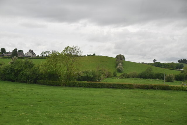
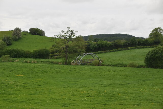
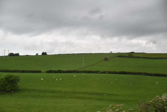
With a population of around 200 residents, Whasset exudes a tranquil and peaceful ambiance. The village is known for its charming stone cottages, which date back to the 18th and 19th centuries, adding to its quaint and traditional atmosphere. The village is surrounded by rolling hills and green fields, offering breathtaking views of the surrounding landscape.

Whasset is a close-knit community, where residents enjoy a strong sense of camaraderie and community spirit. The village has a local pub, The Crown Inn, which serves as a popular meeting point for villagers and visitors alike. The pub offers a range of traditional dishes and local ales, providing a warm and welcoming experience to all who visit.

Nature enthusiasts are drawn to Whasset due to its proximity to the Lake District National Park. The park offers an abundance of outdoor activities, including hiking, cycling, and boating, allowing visitors to explore the scenic beauty of the area. The nearby Whasset Tarn, a small lake, provides a serene spot for picnics and leisurely walks.

Overall, Whasset is a charming village that offers a peaceful escape from the hustle and bustle of city life. Its idyllic location, friendly community, and stunning natural surroundings make it a hidden gem within the Westmorland region.

If you have any feedback on the listing, please let us know in the comments section below.
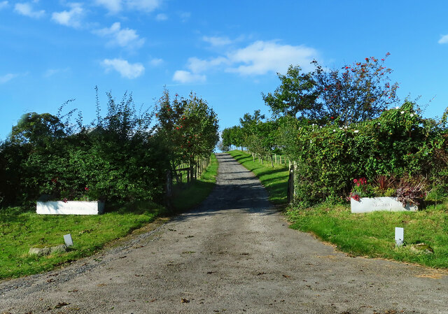
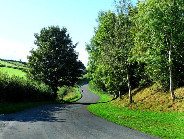
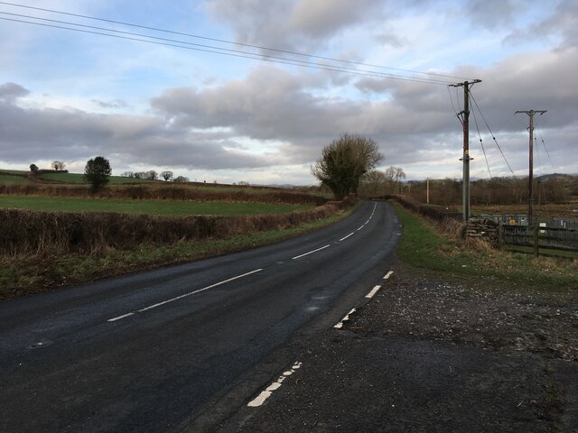
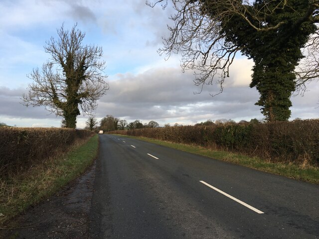
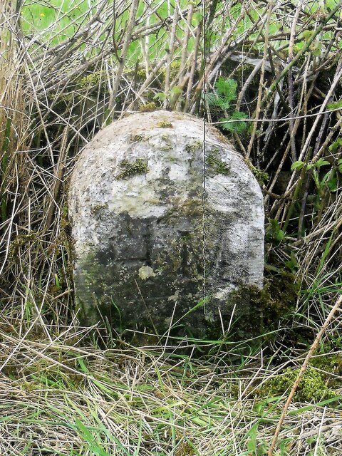
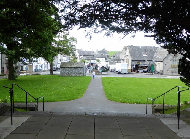
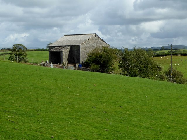
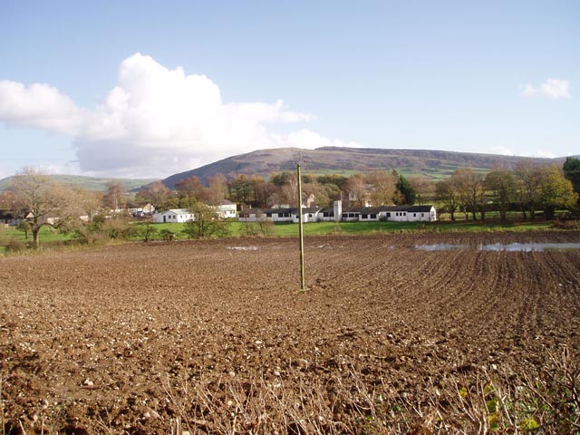
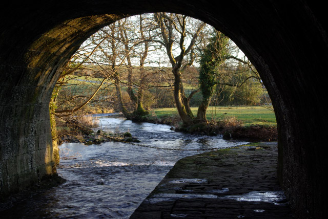
Whasset Images

Images are sourced within 2km of 54.222388/-2.7549996 or Grid Reference SD5081. Thanks to Geograph Open Source API. All images are credited.

Farmland, Hang Hill
Farmland, Hang Hill
Farm sheds near Beetham These sheds lie to the south of the River Bela.
Farm sheds near Beetham
These sheds lie to the south of the River Bela.
Pye’s Bridge Lane Viewed in late April with the roadside flowers showing well.
Pye’s Bridge Lane
Viewed in late April with the roadside flowers showing well.
Pye’s Bridge The bridge crosses Holme Beck.
Pye’s Bridge
The bridge crosses Holme Beck.
Highfield Farm entrance A mid-September view of the farm entrance.
Highfield Farm entrance
A mid-September view of the farm entrance.
Coming from Ackenthwaite A dog-walker uses the minor road between Ackenthwaite and Woodhouse on a bright mid-September morning.
Coming from Ackenthwaite
A dog-walker uses the minor road between Ackenthwaite and Woodhouse on a bright mid-September morning.
B6385 near Main Line industrial estate
B6385 near Ackenthwaite
Old Boundary Marker on the B6385 Parish Boundary Marker on the northwest side of the B6385 opposite an electricity substation. Inscribed M H on the boundary of Milnthorpe and Heversham parishes.

Milestone Society National ID: WE_MILHEV03pb
Old Boundary Marker on the B6385
Parish Boundary Marker on the northwest side of the B6385 opposite an electricity substation. Inscribed M H on the boundary of Milnthorpe and Heversham parishes. Milestone Society National ID: WE_MILHEV03pb
Farmland
Farmland
Footbridge, River Bela
Sheep grazing
Sheep grazing
Rowell Heights
Rowell Heights
Milnthorpe market In Milnthorpe, Friday is market day.
Milnthorpe market
In Milnthorpe, Friday is market day.
From the steps of St. Thomas' Looking down at the market square in Milnthorpe.
From the steps of St. Thomas'
Looking down at the market square in Milnthorpe.
Barn in Milnthorpe In grassland north of the town centre.
Barn in Milnthorpe
In grassland north of the town centre.
A6 The junction of Paradise Lane with the A6.
A6
The junction of Paradise Lane with the A6.
Grazing west of Milnthorpe
Show me another place!

Whasset is located at Grid Ref: SD5081 (Lat: 54.222388, Lng: -2.7549996)

Administrative County: Cumbria

District: South Lakeland

Police Authority: Cumbria

What 3 Words

///onions.indicate.seashell. Near Milnthorpe, Cumbria

Nearby Locations

Ackenthwaite Whasset

Related Wikis

Nearby Amenities

Located within 500m of 54.222388,-2.7549996
Whasset
Is In: South Lakeland, Cumbria, England, UK
Place: hamlet
Source: npe
Wikidata: Q20128178
Wikipedia: en:Whasset
Lat/Long: 54.2225268/-2.7553604
Post Box
Collection Times: Mo-Fr 16:00; Sa 11:15
Drive Through: no
Post Box Type: lamp
Ref: LA7 249
Lat/Long: 54.2219815/-2.7538076
Barrier: cattle_grid
Lat/Long: 54.2202649/-2.752596
Power: pole
Lat/Long: 54.2228173/-2.7547911
Power: pole
Lat/Long: 54.2235627/-2.7536506
Power: pole
Lat/Long: 54.2243558/-2.7524614
Power: pole
Lat/Long: 54.2250426/-2.7513617
Power: pole
Lat/Long: 54.2257325/-2.7503264
Power: pole
Lat/Long: 54.2188452/-2.7581745
Power: pole
Lat/Long: 54.2194613/-2.7577214
Power: pole
Lat/Long: 54.2200732/-2.7572814
Power: pole
Lat/Long: 54.221271/-2.7564097
Power: pole
Lat/Long: 54.221047/-2.7622676
Power: pole
Lat/Long: 54.2218244/-2.7609689
Power: pole
Lat/Long: 54.2216377/-2.7621015
Power: pole
Lat/Long: 54.2220506/-2.7578044
Power: pole
Lat/Long: 54.2233014/-2.7583941
Material: wood
Power: pole
Lat/Long: 54.2243301/-2.7580787
Power: pole
Lat/Long: 54.2226232/-2.7597447
Power: pole
Lat/Long: 54.2233855/-2.7592798
Material: wood
Power: pole
Lat/Long: 54.2242089/-2.7587873
Material: wood
Power: pole
Lat/Long: 54.2247478/-2.7584964
Power: pole
Lat/Long: 54.2222022/-2.7612986
Power: pole
Lat/Long: 54.2227438/-2.7605435
Power: pole
Lat/Long: 54.223667/-2.7600189
Power: pole
Lat/Long: 54.2243402/-2.7596417
Material: wood
Power: pole
Lat/Long: 54.2248444/-2.7593596
Give Way
Direction: forward
Lat/Long: 54.220703/-2.7528944
Give Way
Direction: backward
Lat/Long: 54.2205323/-2.7529019
Generator Method: photovoltaic
Generator Orientation: south_west
Generator Output Electricity: yes
Generator Solar Modules: 17
Generator Source: solar
Generator Type: solar_photovoltaic_panel
Location: roof
Power: generator
Lat/Long: 54.2224894/-2.7546982
Watering Place
Access: private
Lat/Long: 54.220817/-2.7561524
Generator Method: photovoltaic
Generator Orientation: south_east
Generator Output Electricity: yes
Generator Solar Modules: 3
Generator Source: solar
Generator Type: solar_photovoltaic_panel
Location: roof
Power: generator
Lat/Long: 54.2236659/-2.7562283
Generator Method: solar_thermal
Generator Orientation: south_east
Generator Output Hot Water: yes
Generator Solar Modules: 1
Generator Source: solar
Generator Type: solar_thermal_collector
Power: generator
Lat/Long: 54.2224461/-2.7545574
Advertising: board
Lat/Long: 54.221969/-2.7537952
Barrier: stile
Stile: stepover
Lat/Long: 54.224565/-2.749273
Barrier: stile
Stile: squeezer
Lat/Long: 54.2243105/-2.7499407
Power: pole
Lat/Long: 54.2203148/-2.7520674
Power: pole
Lat/Long: 54.22087/-2.7519771
Power: pole
Lat/Long: 54.2213315/-2.751907
Power: pole
Lat/Long: 54.2217212/-2.7518494
Power: pole
Lat/Long: 54.222313/-2.7528567
Power: pole
Lat/Long: 54.2229063/-2.7542824
The data included in this document is from www.openstreetmap.org. The data is made available under ODbL.

Have you been to Whasset?

Leave your review of Whasset below (or comments, questions and feedback).