Nethertown
Settlement in Caithness
Scotland
Nethertown
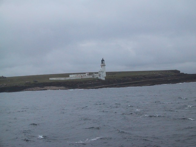
Nethertown is a small village located in the county of Caithness, in the northernmost part of mainland Scotland. Situated along the scenic northeastern coast, Nethertown offers breathtaking views of the North Sea and is surrounded by picturesque countryside. The village is nestled between the larger towns of Wick to the east and Thurso to the west.
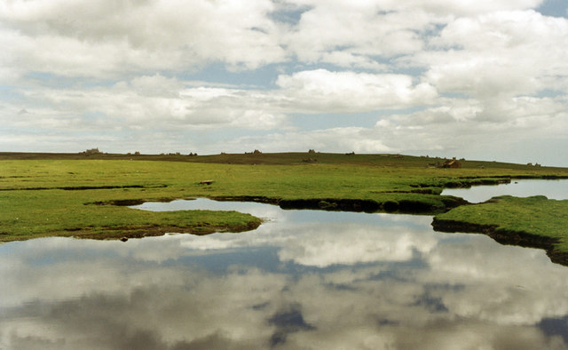
With a population of around 500 residents, Nethertown is a tight-knit community known for its peaceful and tranquil atmosphere. The village is primarily residential, consisting of traditional stone-built cottages and a few modern houses. The architecture reflects the area's rich history, with some buildings dating back to the 19th century.
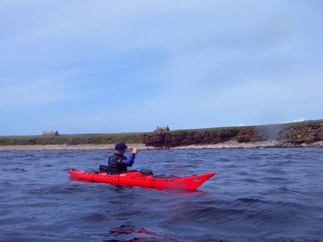
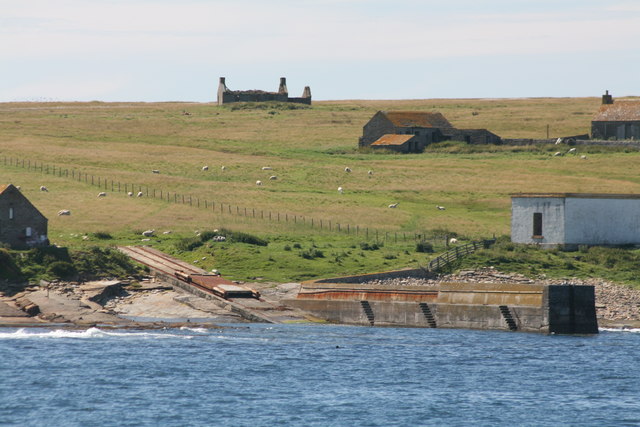
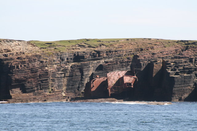
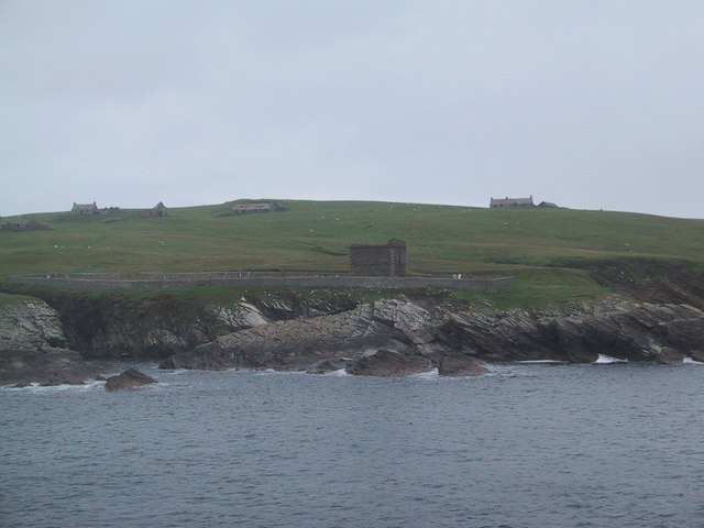
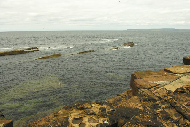
Nethertown benefits from its proximity to the coast, and residents and visitors alike can enjoy long walks along the sandy beaches or explore the numerous caves and rock formations that dot the shoreline. The village is also a popular spot for birdwatching, with various seabird species frequenting the cliffs and nearby nature reserves.
Although small, Nethertown has a strong sense of community and offers essential amenities to its residents, including a local pub, a small convenience store, and a primary school. For more extensive shopping and recreational activities, residents often travel to nearby Wick or Thurso.
Overall, Nethertown is a charming village that offers a peaceful coastal lifestyle, stunning natural beauty, and a close-knit community for those seeking a tranquil escape in the Caithness region of Scotland.
If you have any feedback on the listing, please let us know in the comments section below.
Nethertown Images
Images are sourced within 2km of 58.684883/-3.1228646 or Grid Reference ND3578. Thanks to Geograph Open Source API. All images are credited.


Nethertown is located at Grid Ref: ND3578 (Lat: 58.684883, Lng: -3.1228646)
Unitary Authority: Highland
Police Authority: Highlands and Islands
What 3 Words
///ruffle.elect.husband. Near John o' Groats, Highland
Nearby Locations
Related Wikis

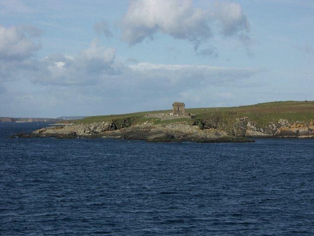
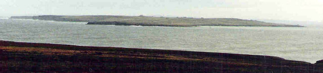
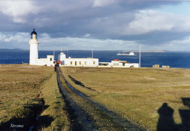
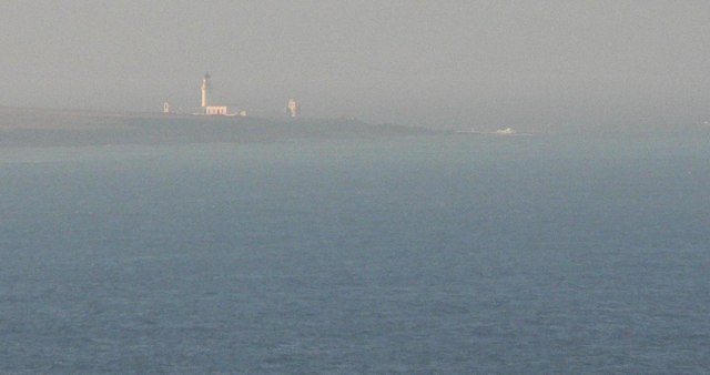
Island of Stroma
Stroma is an uninhabited island in the Pentland Firth, between Orkney and the mainland of Scotland. It forms part of the civil parish of Canisbay in Caithness...

MeyGen
MeyGen (full name MeyGen tidal energy project) is a tidal stream energy plant in the north of Scotland. The project is located in the Pentland Firth, specifically...

SM U-29 (Germany)
SM U-29 was a Type U-27 U-boat of the Imperial German Navy. She served during the First World War. U-29's last commander was Captain Otto Weddigen. U-29...
MV Cemfjord
The Cemfjord was a Cyprus-registered cargo ship which foundered in the Pentland Firth off the north-east coast of Scotland on 2 January 2015. Built as...
Nearby Amenities
Located within 500m of 58.684883,-3.1228646Have you been to Nethertown?
Leave your review of Nethertown below (or comments, questions and feedback).