Fallie Geo
Coastal Feature, Headland, Point in Caithness
Scotland
Fallie Geo
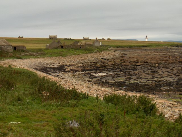
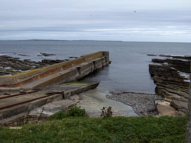
Fallie Geo is a stunning coastal feature located in Caithness, a region in the northernmost part of the Scottish mainland. Nestled between the villages of Reiss and Castletown, this magnificent headland juts out into the North Sea, offering breathtaking views and a unique geological landscape.
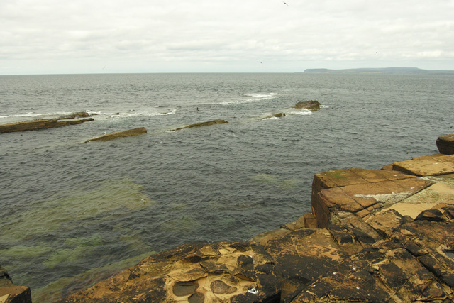
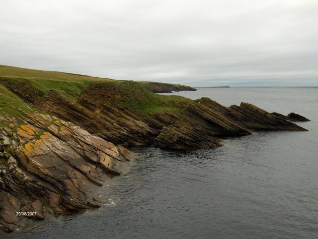
Rising up to a height of approximately 30 meters, Fallie Geo is characterized by its dramatic cliffs and rugged terrain. The headland is composed mainly of flagstone and sandstone, which have been shaped over centuries by the relentless forces of nature. The cliffs showcase striking rock formations and layers, revealing the geological history of the area.
At the base of Fallie Geo, there is a small, secluded beach known for its pristine sands and crystal-clear waters. This picturesque spot is a popular destination for nature lovers and photographers, who come to capture the beauty of the surrounding landscape. It also provides a tranquil setting for coastal walks and picnics.
In addition to its natural beauty, Fallie Geo boasts a rich biodiversity. The cliffs provide nesting sites for various seabird species, including fulmars, guillemots, and kittiwakes. Visitors may catch a glimpse of these majestic creatures soaring above the headland or perched on the cliff ledges.
With its striking cliffs, stunning beach, and abundant wildlife, Fallie Geo is a must-visit destination for anyone exploring the Caithness coastline. Whether you are a geology enthusiast, a birdwatcher, or simply a lover of natural beauty, this coastal feature promises to leave a lasting impression.
If you have any feedback on the listing, please let us know in the comments section below.
Fallie Geo Images
Images are sourced within 2km of 58.692814/-3.1113875 or Grid Reference ND3578. Thanks to Geograph Open Source API. All images are credited.


Fallie Geo is located at Grid Ref: ND3578 (Lat: 58.692814, Lng: -3.1113875)
Unitary Authority: Highland
Police Authority: Highlands and Islands
What 3 Words
///dynasties.family.notifying. Near John o' Groats, Highland
Nearby Locations
Related Wikis

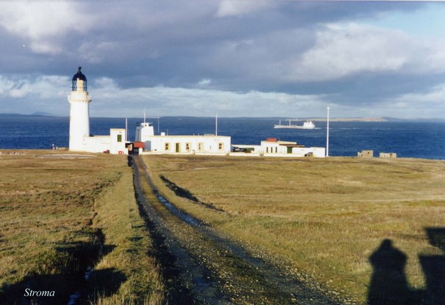
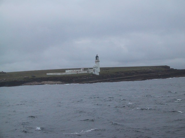
Island of Stroma
Stroma is an uninhabited island in the Pentland Firth, between Orkney and the mainland of Scotland. It forms part of the civil parish of Canisbay in Caithness...

SM U-29 (Germany)
SM U-29 was a Type U-27 U-boat of the Imperial German Navy. She served during the First World War. U-29's last commander was Captain Otto Weddigen. U-29...

MV Cemfjord
The Cemfjord was a Cyprus-registered cargo ship which foundered in the Pentland Firth off the north-east coast of Scotland on 2 January 2015. Built as...
MeyGen
MeyGen (full name MeyGen tidal energy project) is a tidal stream energy plant in the north of Scotland. The project is located in the Pentland Firth, specifically...
Nearby Amenities
Located within 500m of 58.692814,-3.1113875Have you been to Fallie Geo?
Leave your review of Fallie Geo below (or comments, questions and feedback).