The Peel
Coastal Feature, Headland, Point in Caithness
Scotland
The Peel
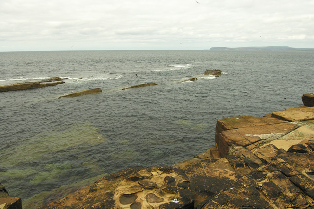
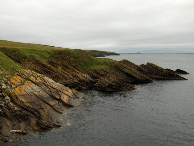
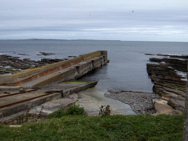
The Peel is a prominent coastal feature located in Caithness, a historic county in the north-eastern part of Scotland. Situated on the north coast of the country, The Peel is a headland that juts out into the North Sea, forming a distinct point along the coastline.
This geographical formation is characterized by its rugged and rocky terrain, with steep cliffs that plunge into the sea below. The cliff faces are composed of sedimentary rocks, such as sandstone and shale, which have been shaped by the relentless erosion caused by wind and water over millions of years.
The Peel is known for its picturesque and dramatic scenery, attracting both locals and tourists alike. The headland offers breathtaking views of the surrounding coastline, with panoramic vistas of the North Sea stretching out into the horizon. The crashing waves against the cliffs and the sound of seabirds nesting in the rocky crevices create a truly immersive natural experience.
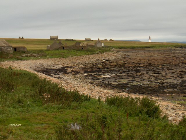
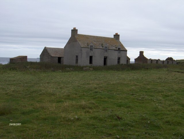
In addition to its scenic beauty, The Peel also holds historical significance. The remains of an ancient fort, believed to have been constructed during the Iron Age, can be found on the headland. This archaeological site provides insight into the area's rich cultural heritage and offers visitors a glimpse into the past.
Due to its exposed location and challenging terrain, The Peel is not easily accessible. However, its remote and untouched nature only adds to its allure, making it a must-visit destination for nature enthusiasts, history buffs, and those seeking solace in the beauty of the natural world.
If you have any feedback on the listing, please let us know in the comments section below.
The Peel Images
Images are sourced within 2km of 58.690273/-3.1102542 or Grid Reference ND3578. Thanks to Geograph Open Source API. All images are credited.


The Peel is located at Grid Ref: ND3578 (Lat: 58.690273, Lng: -3.1102542)
Unitary Authority: Highland
Police Authority: Highlands and Islands
What 3 Words
///folds.dining.constants. Near John o' Groats, Highland
Nearby Locations
Related Wikis

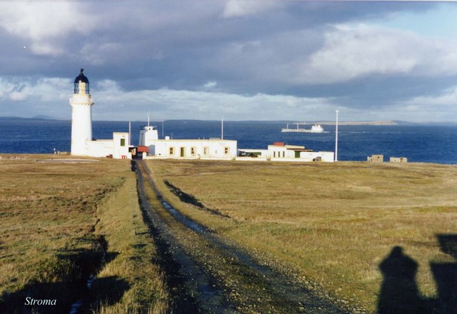
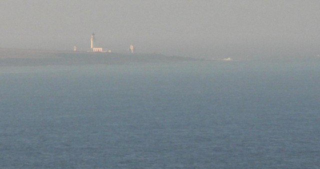
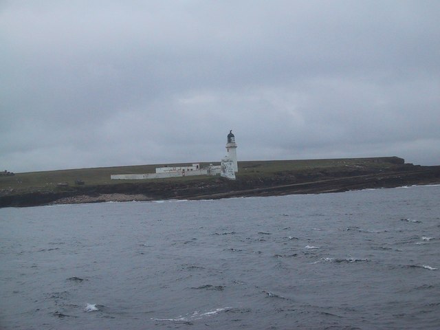
Island of Stroma
Stroma is an uninhabited island in the Pentland Firth, between Orkney and the mainland of Scotland. It forms part of the civil parish of Canisbay in Caithness...

SM U-29 (Germany)
SM U-29 was a Type U-27 U-boat of the Imperial German Navy. She served during the First World War. U-29's last commander was Captain Otto Weddigen. U-29...

MV Cemfjord
The Cemfjord was a Cyprus-registered cargo ship which foundered in the Pentland Firth off the north-east coast of Scotland on 2 January 2015. Built as...
MeyGen
MeyGen (full name MeyGen tidal energy project) will be the world's largest tidal energy plant, which is currently in construction. The first phase of the...
Huna House
Huna House is a Victorian building located in the small village of Huna in Canisbay, north of Caithness. Built in 1870 as the Huna Hotel, it is listed...

Gills Bay
Gills Bay, which is situated about 3 mi (4.8 km) west of John o' Groats with the community of Gills close by, has one of the longest stretches of low-lying...

Pentland Firth
The Pentland Firth (Scottish Gaelic: An Caol Arcach, meaning the Orcadian Strait) is a strait which separates the Orkney Islands from Caithness in the...

Huna, Caithness
Huna is a small remote crofting township, located 1 mile northeast of Canisbay and 1.5 miles west of John o' Groats in Caithness, in Scotland. It is currently...
Nearby Amenities
Located within 500m of 58.690273,-3.1102542Have you been to The Peel?
Leave your review of The Peel below (or comments, questions and feedback).