Winni Geo
Coastal Feature, Headland, Point in Caithness
Scotland
Winni Geo
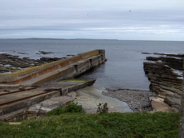
Winni Geo is a prominent coastal feature located in the Caithness region of Scotland. It is a headland that juts out into the North Sea, forming a distinct point along the rugged coastline. The name "Winni Geo" is derived from the Old Norse language, with "Winni" meaning "white" and "Geo" meaning "inlet" or "cove."
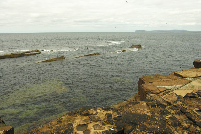
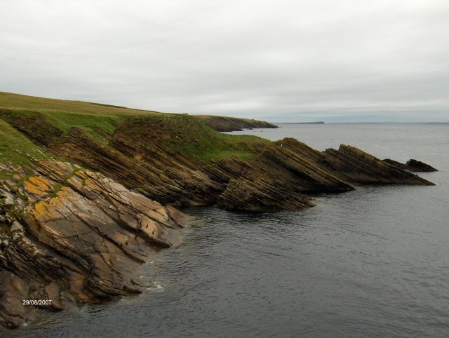
This headland is known for its dramatic cliffs, which rise to a considerable height above the sea. The cliffs are composed of sedimentary rocks, predominantly sandstone and shale, showcasing unique geological formations that have been shaped by centuries of erosion from powerful waves and wind. The exposed layers of rock reveal a fascinating history of the earth's geological past.
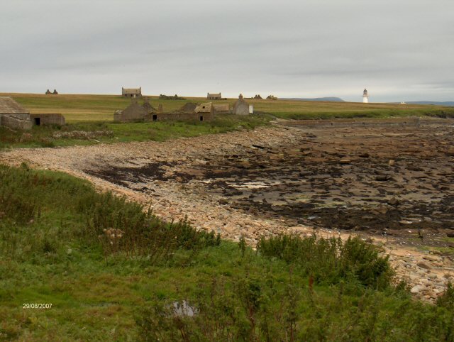
Winni Geo offers breathtaking views of the surrounding coastal landscape, with sweeping vistas of the North Sea extending as far as the eye can see. The headland is a popular destination for nature lovers, hikers, and photographers, who are drawn to its striking beauty and abundant wildlife. Seabirds such as puffins, guillemots, and razorbills can often be spotted nesting among the cliffs, while seals and dolphins occasionally make appearances in the water below.
Visitors to Winni Geo can access the headland via a well-maintained footpath that winds its way along the cliff edge. This path provides an opportunity to explore the area's natural wonders while enjoying the fresh sea air. It is important to exercise caution when visiting, as the cliffs can be unstable in places, and strong winds are common. Nonetheless, Winni Geo offers a truly memorable experience for those seeking to immerse themselves in the rugged beauty of Caithness' coastal landscape.
If you have any feedback on the listing, please let us know in the comments section below.
Winni Geo Images
Images are sourced within 2km of 58.689961/-3.1224414 or Grid Reference ND3578. Thanks to Geograph Open Source API. All images are credited.


Winni Geo is located at Grid Ref: ND3578 (Lat: 58.689961, Lng: -3.1224414)
Unitary Authority: Highland
Police Authority: Highlands and Islands
What 3 Words
///unstated.depending.rates. Near John o' Groats, Highland
Nearby Locations
Related Wikis

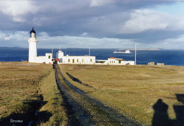
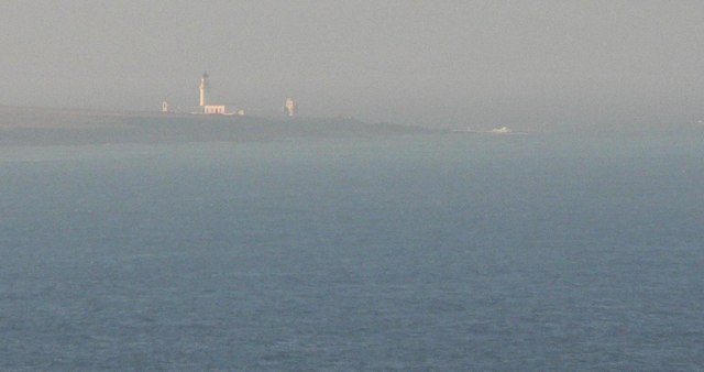
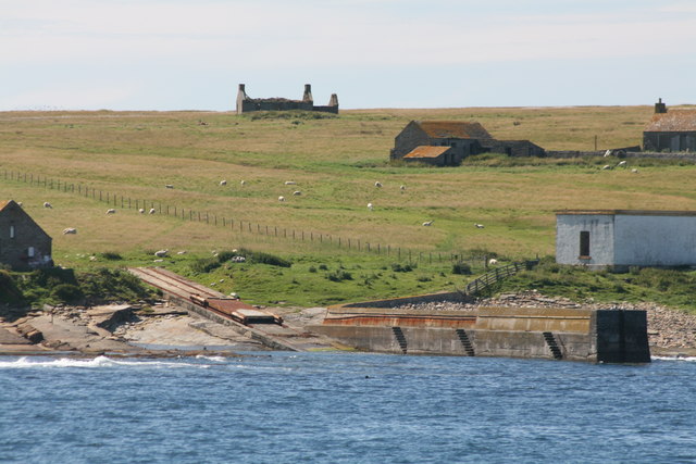
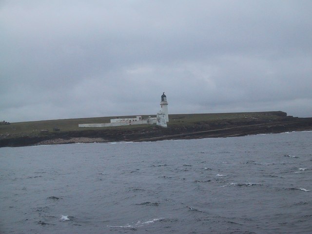
Island of Stroma
Stroma is an uninhabited island in the Pentland Firth, between Orkney and the mainland of Scotland. It forms part of the civil parish of Canisbay in Caithness...

SM U-29 (Germany)
SM U-29 was a Type U-27 U-boat of the Imperial German Navy. She served during the First World War. U-29's last commander was Captain Otto Weddigen. U-29...

MV Cemfjord
The Cemfjord was a Cyprus-registered cargo ship which foundered in the Pentland Firth off the north-east coast of Scotland on 2 January 2015. Built as...
MeyGen
MeyGen (full name MeyGen tidal energy project) is a tidal stream energy plant in the north of Scotland. The project is located in the Pentland Firth, specifically...
Nearby Amenities
Located within 500m of 58.689961,-3.1224414Have you been to Winni Geo?
Leave your review of Winni Geo below (or comments, questions and feedback).