Geos of Bagwa
Coastal Feature, Headland, Point in Caithness
Scotland
Geos of Bagwa
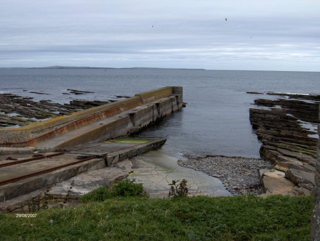
Geos of Bagwa is a prominent coastal feature located in the region of Caithness, Scotland. Situated on the east coast of the country, this striking headland juts out into the North Sea, forming a distinct point that attracts both locals and tourists alike.
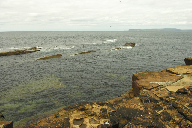
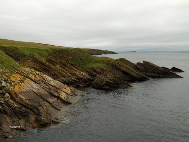
The geos, or narrow inlets, of Bagwa are the main highlight of this coastal feature. These geos are deep, narrow gorges that have been eroded over thousands of years by the powerful waves and currents of the North Sea. The geos create dramatic, towering cliffs that rise majestically from the sea, providing a stunning backdrop to the surrounding landscape.
The rugged and picturesque nature of Geos of Bagwa makes it a popular destination for hikers, nature enthusiasts, and photographers. The area offers breathtaking views of the North Sea, with its crystal-clear waters and crashing waves. Visitors can also observe a diverse range of seabirds, such as gulls and fulmars, nesting on the cliffs, adding to the natural beauty of the site.
The geos themselves provide a unique opportunity for exploration, as visitors can venture into the narrow gorges and experience the raw power of the sea up close. However, caution is advised as the terrain can be treacherous, especially during high tide or stormy weather.
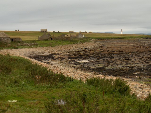
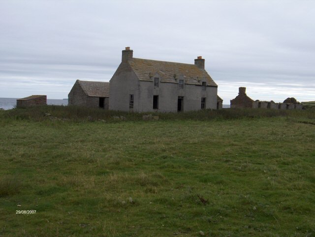
Geos of Bagwa is not only a natural wonder but also holds historical significance. The headland and its geos were once used as a defensive point, with remnants of ancient fortifications still visible in certain areas. This adds an additional layer of intrigue and allure to this already fascinating coastal feature.
In conclusion, Geos of Bagwa in Caithness is a captivating headland that offers a stunning display of nature's power and beauty. From its towering cliffs to its narrow geos, this coastal feature provides an unforgettable experience for those who venture to its shores.
If you have any feedback on the listing, please let us know in the comments section below.
Geos of Bagwa Images
Images are sourced within 2km of 58.693313/-3.1108858 or Grid Reference ND3578. Thanks to Geograph Open Source API. All images are credited.


Geos of Bagwa is located at Grid Ref: ND3578 (Lat: 58.693313, Lng: -3.1108858)
Unitary Authority: Highland
Police Authority: Highlands and Islands
What 3 Words
///migrate.scrubbing.dislikes. Near John o' Groats, Highland
Nearby Locations
Related Wikis

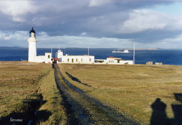
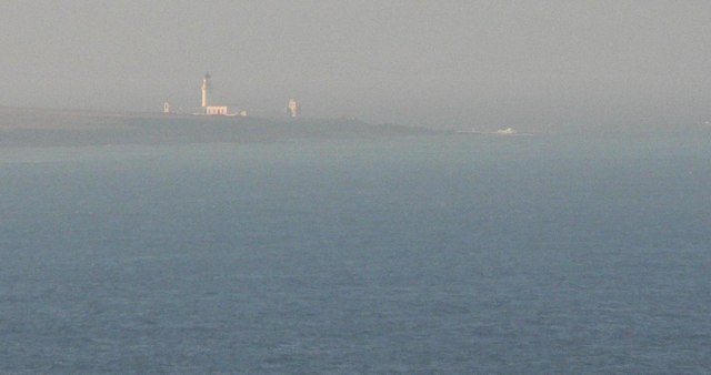
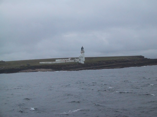
Island of Stroma
Stroma is an uninhabited island in the Pentland Firth, between Orkney and the mainland of Scotland. It forms part of the civil parish of Canisbay in Caithness...

SM U-29 (Germany)
SM U-29 was a Type U-27 U-boat of the Imperial German Navy. She served during the First World War. U-29's last commander was Captain Otto Weddigen. U-29...

MV Cemfjord
The Cemfjord was a Cyprus-registered cargo ship which foundered in the Pentland Firth off the north-east coast of Scotland on 2 January 2015. Built as...
MeyGen
MeyGen (full name MeyGen tidal energy project) is a tidal stream energy plant in the North of Scotland, which is currently being constructed in a phased...

Pentland Firth
The Pentland Firth (Scottish Gaelic: An Caol Arcach, meaning the Orcadian Strait) is a strait which separates the Orkney Islands from Caithness in the...
Huna House
Huna House is a Victorian building located in the small village of Huna in Canisbay, north of Caithness. Built in 1870 as the Huna Hotel, it is listed...

Gills Bay
Gills Bay, which is situated about 3 mi (4.8 km) west of John o' Groats with the community of Gills close by, has one of the longest stretches of low-lying...

Huna, Caithness
Huna is a small remote crofting township, located 1 mile northeast of Canisbay and 1.5 miles west of John o' Groats in Caithness, in Scotland. It is currently...
Nearby Amenities
Located within 500m of 58.693313,-3.1108858Have you been to Geos of Bagwa?
Leave your review of Geos of Bagwa below (or comments, questions and feedback).