Nethertown

Settlement in Cumberland Copeland

England

Nethertown

B5345 at Snellings Farm
B5345 at Snellings Farm Credit: Colin Pyle

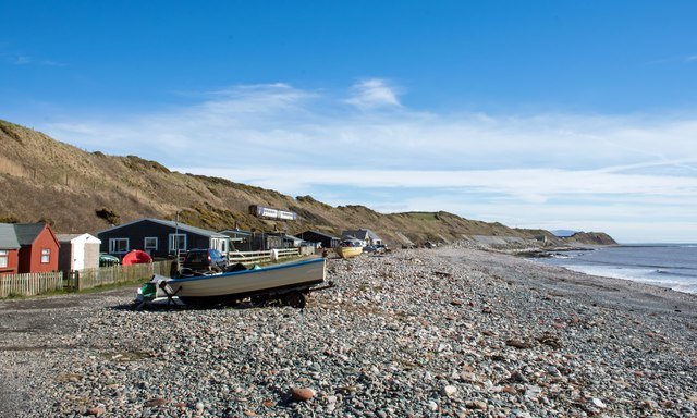
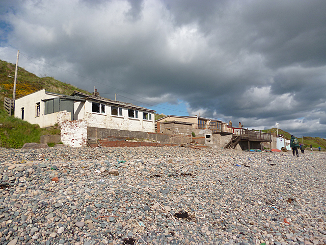
Nethertown is a small village located in the county of Cumberland, in northwest England. Situated on the picturesque Cumbrian coastline, it is nestled between the larger towns of Whitehaven and St Bees. With a population of around 700 residents, Nethertown offers a tranquil and close-knit community atmosphere.

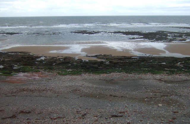
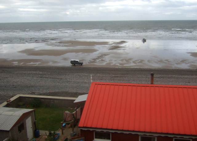
The village is known for its beautiful sandy beach, which stretches for over a mile along the coast. This makes Nethertown a popular destination for tourists and locals alike, particularly during the summer months. The beach provides stunning views across the Irish Sea and is perfect for relaxing walks or picnics.

Despite its small size, Nethertown boasts a range of amenities to cater to residents' needs. There is a primary school, a village hall, and a local pub, which serves as a social hub for the community. Additionally, the nearby town of Whitehaven offers a wider range of amenities, including shops, supermarkets, and leisure facilities.

One notable feature of Nethertown is its proximity to the Lake District National Park, a UNESCO World Heritage site. This offers residents and visitors the opportunity to explore the breathtaking landscapes, mountains, and lakes that the region is renowned for. Outdoor activities such as hiking, cycling, and water sports are easily accessible from the village.

Overall, Nethertown offers a charming coastal village lifestyle with access to stunning natural beauty. Its tight-knit community and idyllic location make it an attractive place to live or visit for those seeking a peaceful escape or outdoor adventures.

If you have any feedback on the listing, please let us know in the comments section below.
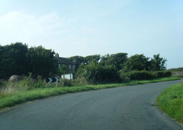
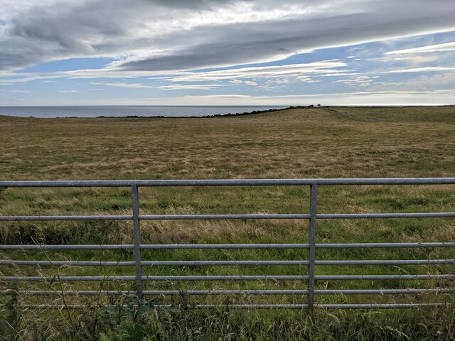
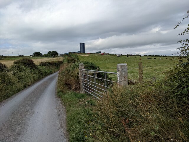
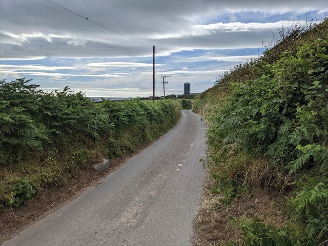
Nethertown Images

Images are sourced within 2km of 54.454034/-3.556446 or Grid Reference NX9907. Thanks to Geograph Open Source API. All images are credited.

B5345 at Snellings Farm
B5345 at Whitecroft House
A coastal field near Coneyside Farm The name of the farm is shown as Coneyside House on the 1:50k map.
A coastal field near Coneyside Farm
The name of the farm is shown as Coneyside House on the 1:50k map.
Looking along Well Lane towards Coulderton
Houses in Coulderton
The junction with Well Lane
The lane to Coulderton The farm silo tower is a prominent local landmark.
The lane to Coulderton
The farm silo tower is a prominent local landmark.
Flower barrel and information sign in Middletown
The house on the bend, near Middletown
Cumbrian coast holiday home near Coulderton
Brig Stones Cumbrian coast near Coulderton.
Brig Stones
Cumbrian coast near Coulderton.
Foreshore, Nethertown
Rocky foreshore near Nethertown
Beach south of Nethertown View over a coastal holiday home.
Beach south of Nethertown
View over a coastal holiday home.
Farm buildings at Gill House The farm buildings are seen across a field with an unknown crop, (or the remains of it), from a sharp bend of the  B5345 south-west of Egremont.
Farm buildings at Gill House
The farm buildings are seen across a field with an unknown crop, (or the remains of it), from a sharp bend of the B5345 south-west of Egremont.
Sharp bend on the B5345 To the left, the road heads for Egremont.
Sharp bend on the B5345
To the left, the road heads for Egremont.
Farmland beside the B5345
Beach chalets at Coulderton A Northern Rail service heads towards Carlisle above the line of beach chalets, many of which were occupied on a glorious spring weekend. Much of the beach here is pebbles but with patches of sand at low tide. Nethertown station is situated close to the isolated house in the distance.
Beach chalets at Coulderton
A Northern Rail service heads towards Carlisle above the line of beach chalets, many of which were occupied on a glorious spring weekend. Much of the beach here is pebbles but with patches of sand at low tide. Nethertown station is situated close to the isolated house in the distance.
Show me another place!

Nethertown is located at Grid Ref: NX9907 (Lat: 54.454034, Lng: -3.556446)

Administrative County: Cumbria

District: Copeland

Police Authority: Cumbria

What 3 Words

///flops.envoy.monk. Near Egremont, Cumbria

Related Wikis

Nethertown

Nethertown is a small village in Cumberland, Cumbria, England on the Irish Sea coast. The community is covered by the civil parish of "Lowside Quarter...

Lowside Quarter

Lowside Quarter is a civil parish in Copeland, Cumbria, England. At the 2011 census it had a population of 583.The parish has an area of 785.43 hectares...

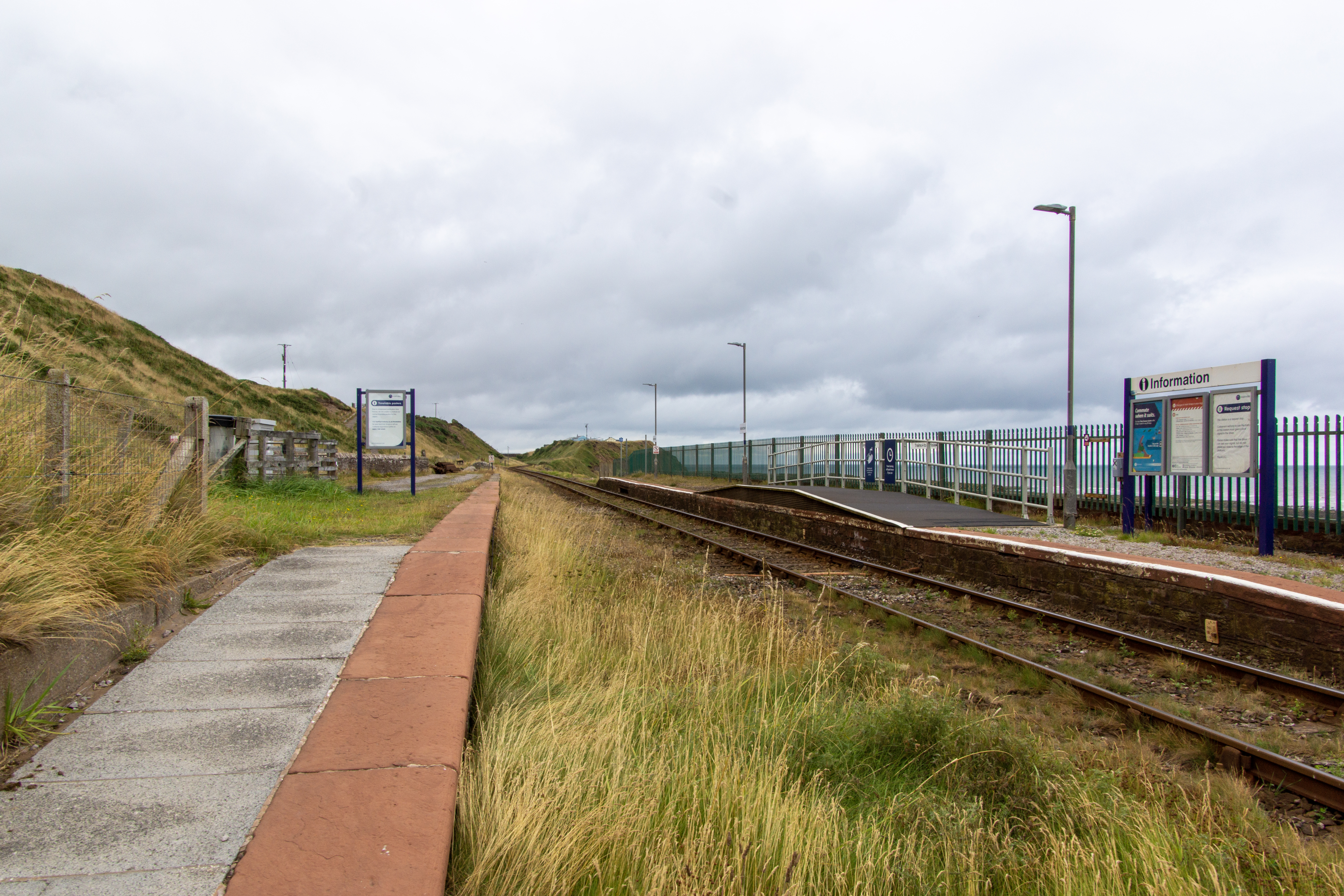
Nethertown railway station

Nethertown is a railway station on the Cumbrian Coast line, which runs between Carlisle and Barrow-in-Furness. The station, situated 39 miles (63 km) north...

Coulderton

Coulderton is a coastal village in Cumbria, England. It is located just to the southwest of Egremont. == References ==

Nearby Amenities

Located within 500m of 54.454034,-3.556446
Source: PGS
Lat/Long: 54.4542889/-3.5640937
Source: PGS
Lat/Long: 54.4534441/-3.5636851
Source: PGS
Lat/Long: 54.4527121/-3.5635334
Source: PGS
Lat/Long: 54.4513694/-3.5625536
Source: PGS
Lat/Long: 54.4509453/-3.5616589
Source: PGS
Lat/Long: 54.450488/-3.5605714
Source: PGS
Lat/Long: 54.450232/-3.5599474
Nethertown
Place: village
Source: npe
Wikidata: Q6999681
Wikipedia: en:Nethertown
Lat/Long: 54.454667/-3.5598717
Bus Stop
West Cottage
Bench: no
Covered: no
Naptan AtcoCode: 090050143099
Naptan Bearing: N
Naptan CommonName: West Cottage
Naptan Indicator: o/s
Naptan Landmark: West Cottage
Naptan NaptanCode: cumatwpa
Naptan Street: No name
Naptan Verified: no
Shelter: no
Source: naptan_import
Lat/Long: 54.4534034/-3.5587973
Bus Stop
Nethertown Farm
Bench: no
Covered: no
Local Ref: AT
Naptan AtcoCode: 090050143100
Naptan Bearing: S
Naptan CommonName: Nethertown Farm
Naptan Indicator: at
Naptan Landmark: The Cottage
Naptan NaptanCode: cumatwpd
Naptan Street: No name
Naptan Verified: no
Shelter: no
Source: naptan_import
Lat/Long: 54.4535205/-3.5587142
Fibre junction box
Man Made: communications_box
Lat/Long: 54.4544121/-3.5591507
Bench
Lat/Long: 54.4533066/-3.5584296
Bench
Lat/Long: 54.4533449/-3.5584346
Post Box
Post Box Type: lamp
Ref: CA22 70
Lat/Long: 54.4533748/-3.5585116
Power: pole
Lat/Long: 54.4581303/-3.5553526
Power: pole
Lat/Long: 54.4573582/-3.5558328
Power: pole
Lat/Long: 54.456431/-3.5564121
Power: pole
Lat/Long: 54.4554618/-3.5570409
Power: pole
Lat/Long: 54.4546177/-3.5575935
Power: pole
Lat/Long: 54.4538799/-3.5580585
Power: pole
Lat/Long: 54.45786/-3.5540359
The data included in this document is from www.openstreetmap.org. The data is made available under ODbL.

Have you been to Nethertown?

Leave your review of Nethertown below (or comments, questions and feedback).