Lady Moss
Downs, Moorland in Cumberland Copeland
England
Lady Moss
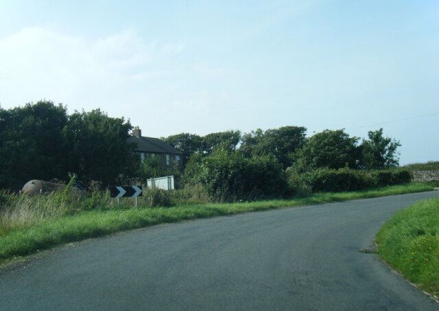
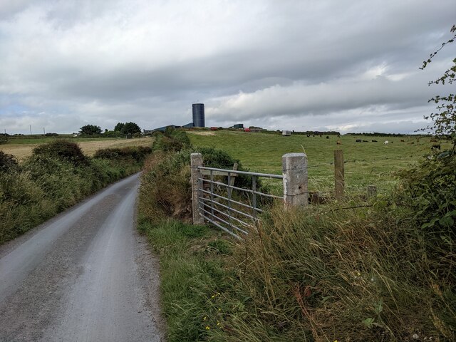
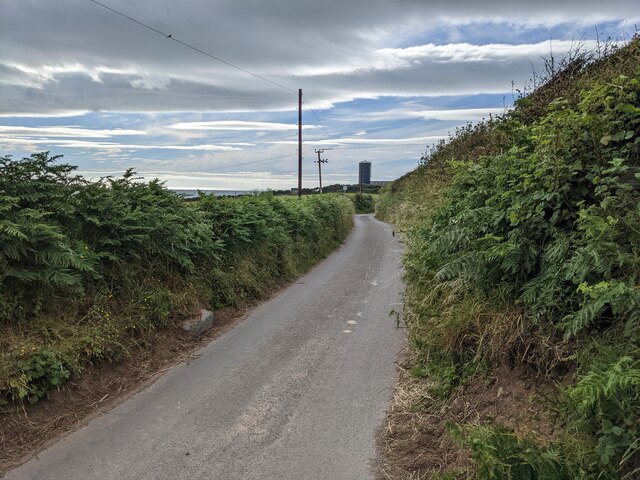
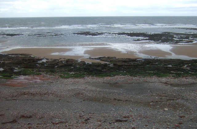
Lady Moss is a picturesque area located in Cumberland, England. Situated on the downs and moorland, it offers a serene and tranquil environment for nature enthusiasts and adventurers alike. The moss is surrounded by rolling hills, heather-covered moorlands, and breathtaking views of the surrounding countryside.
Covering an extensive area, Lady Moss presents a diverse range of plant and animal life. The moss itself is characterized by its lush green vegetation, including various species of grasses and mosses that thrive in the damp conditions. The area is also home to numerous types of wildflowers, adding vibrant splashes of color to the landscape.
For birdwatchers, Lady Moss is a haven, as it attracts a wide variety of avian species. Visitors can spot birds such as skylarks, meadow pipits, and stonechats, among others, soaring above the moss or perched on the surrounding bushes and trees.
The rugged terrain of Lady Moss makes it an ideal destination for hiking and walking enthusiasts. Numerous footpaths and trails crisscross the area, allowing visitors to explore its hidden gems and discover its natural beauty. As you traverse the moss, you may come across babbling brooks, small ponds, and even the occasional waterfall, providing a refreshing respite during your journey.
Overall, Lady Moss in Cumberland is a captivating destination for those seeking to immerse themselves in nature's wonders. Its rich biodiversity, stunning landscapes, and peaceful atmosphere make it a must-visit for anyone looking to escape the hustle and bustle of everyday life.
If you have any feedback on the listing, please let us know in the comments section below.
Lady Moss Images
Images are sourced within 2km of 54.450501/-3.5560181 or Grid Reference NX9907. Thanks to Geograph Open Source API. All images are credited.


Lady Moss is located at Grid Ref: NX9907 (Lat: 54.450501, Lng: -3.5560181)
Administrative County: Cumbria
District: Copeland
Police Authority: Cumbria
What 3 Words
///occupiers.scan.landings. Near Egremont, Cumbria
Nearby Locations
Related Wikis
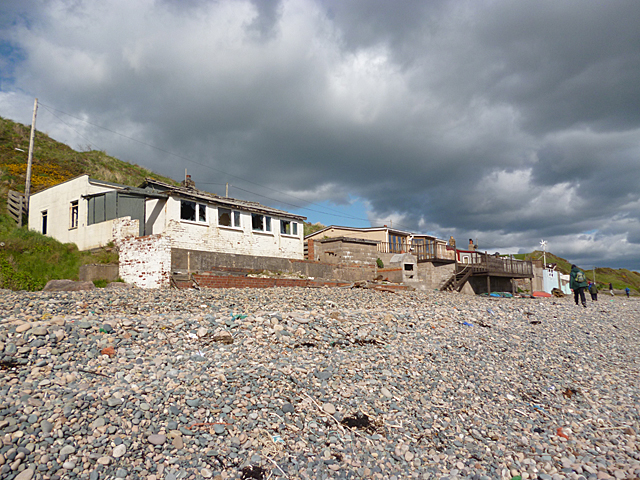
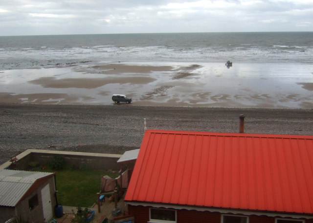
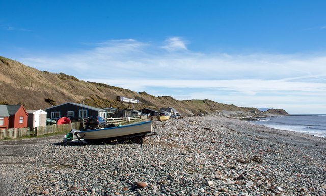
Nethertown
Nethertown is a small village in Cumberland, Cumbria, England on the Irish Sea coast. The community is covered by the civil parish of "Lowside Quarter...

Lowside Quarter
Lowside Quarter is a civil parish in Copeland, Cumbria, England. At the 2011 census it had a population of 583.The parish has an area of 785.43 hectares...
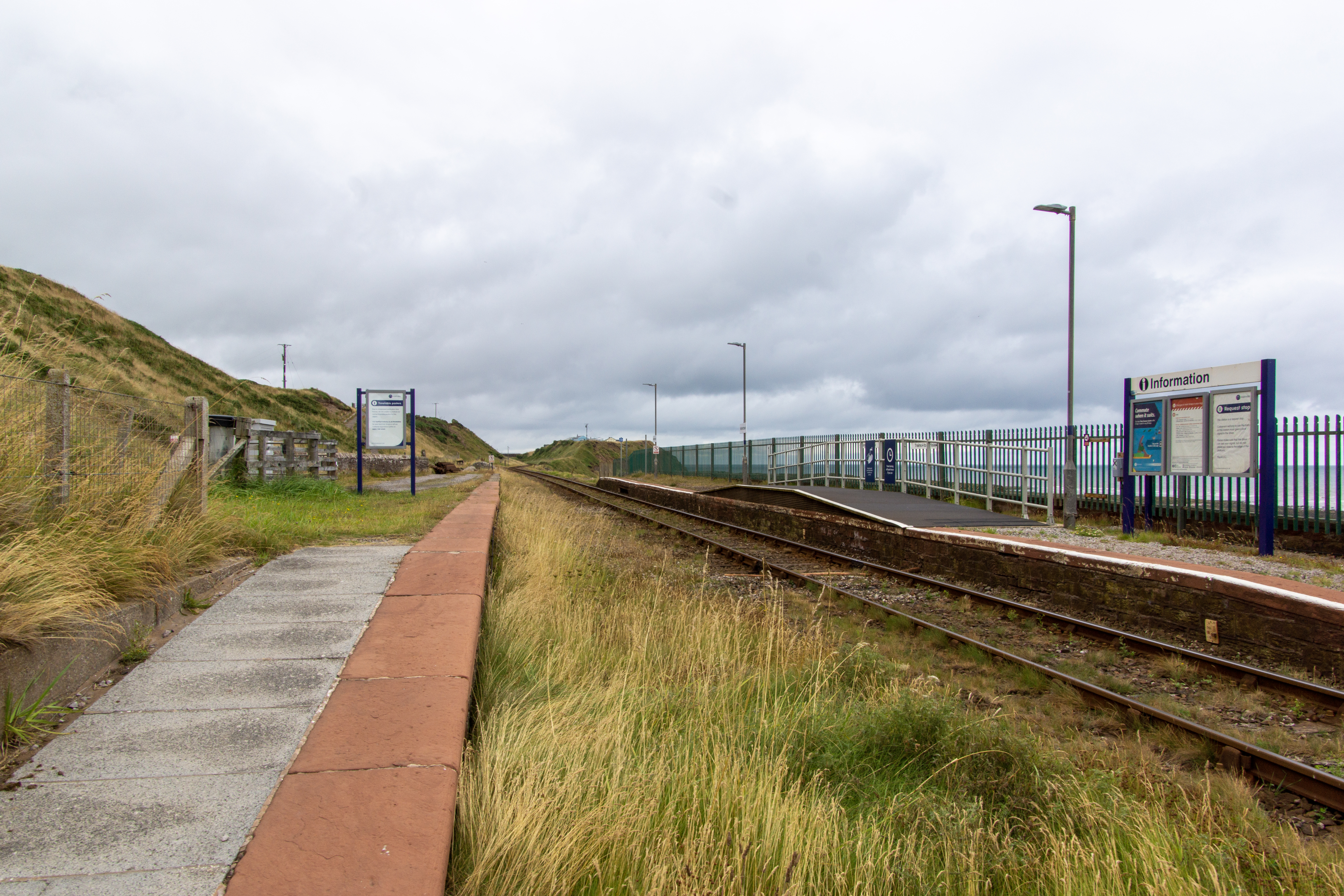
Nethertown railway station
Nethertown is a railway station on the Cumbrian Coast line, which runs between Carlisle and Barrow-in-Furness. The station, situated 39 miles (63 km) north...

Braystones railway station
Braystones is a railway station on the Cumbrian Coast line, which runs between Carlisle and Barrow-in-Furness. The station, situated 37 miles (60 km) north...
Nearby Amenities
Located within 500m of 54.450501,-3.5560181Have you been to Lady Moss?
Leave your review of Lady Moss below (or comments, questions and feedback).