Ness
Settlement in Cheshire
England
Ness
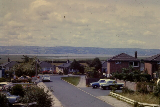
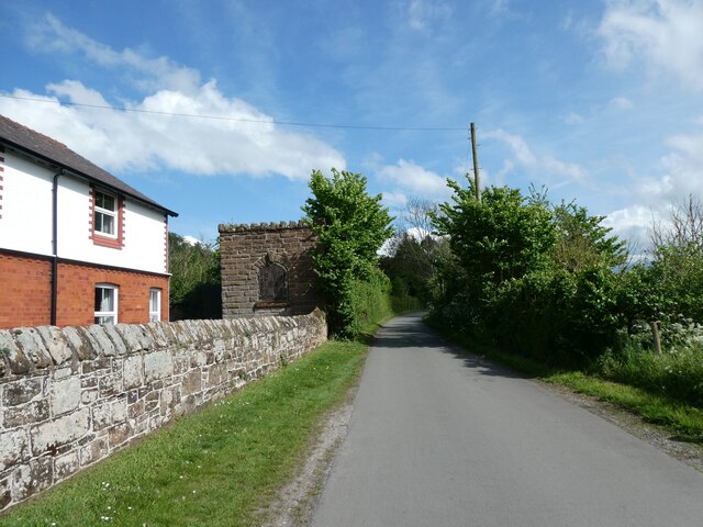
Ness is a picturesque village located in the county of Cheshire, England. Situated on the Wirral Peninsula, it lies approximately 8 miles southwest of the city of Chester and 5 miles west of the town of Neston. Known for its idyllic rural setting, Ness offers a tranquil and charming atmosphere.
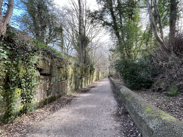
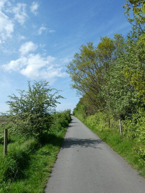
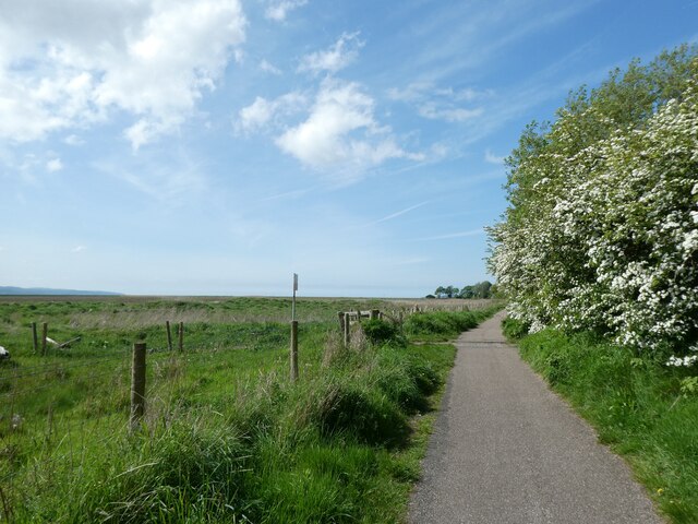
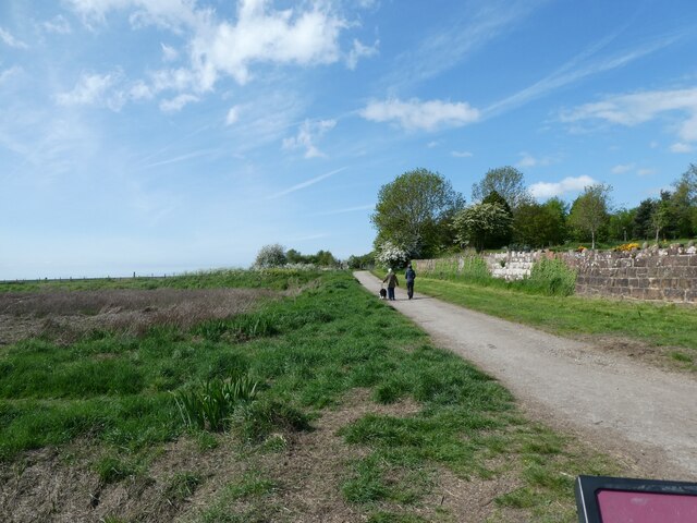
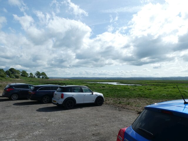
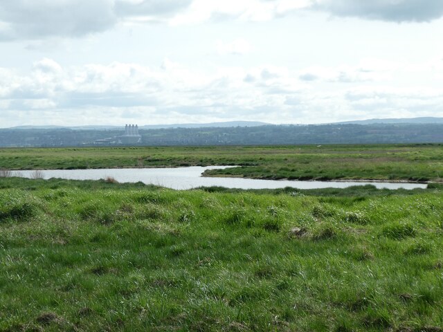
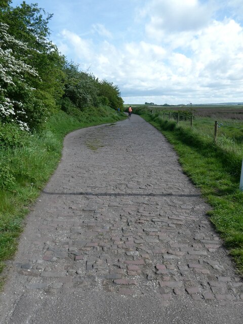
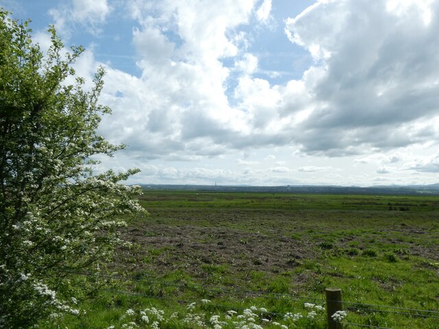
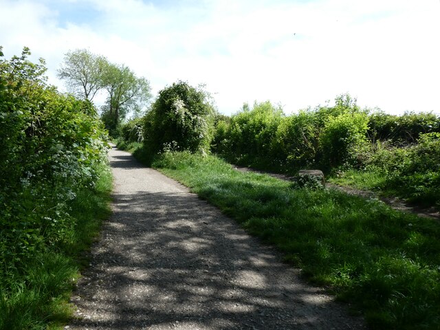
The village is surrounded by stunning countryside, with rolling hills, lush meadows, and scenic views of the Dee Estuary. Its close proximity to the coast makes it a popular destination for outdoor enthusiasts and nature lovers. The Wirral Way, a former railway line, runs through Ness, providing walkers, cyclists, and horse riders with a scenic route to explore.
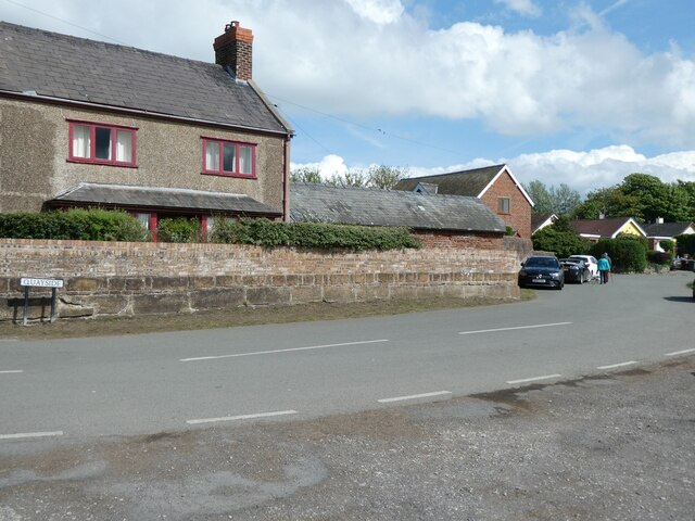
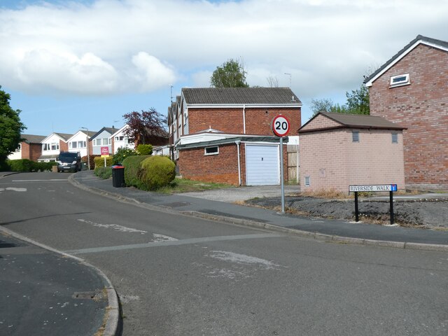
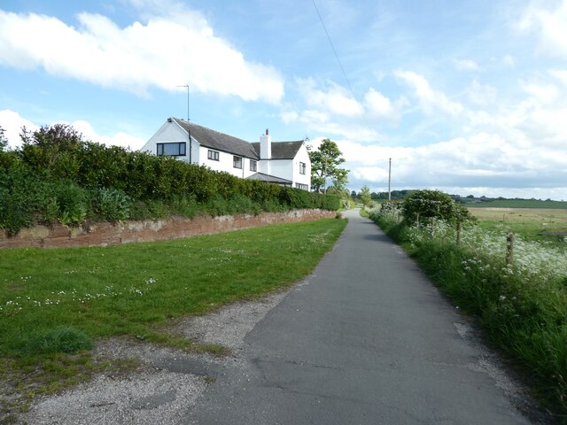
Ness is a small community with a tight-knit feel. Its population consists of mainly residential homes, with a few local businesses and amenities. The village boasts a historic church, St. Mary's Church, which dates back to the 14th century. The church is known for its beautiful stained glass windows and is a focal point of the village.
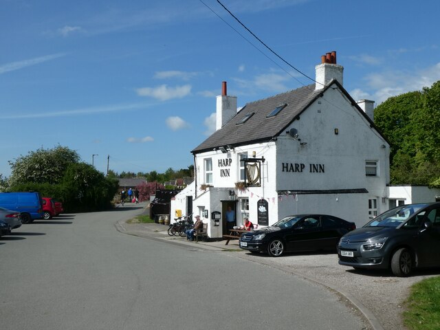
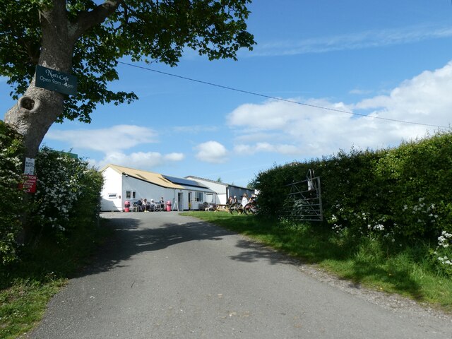
The village has a strong sense of community spirit, with residents organizing various events and activities throughout the year. These include summer fairs, charity fundraisers, and local sports competitions. Ness also has a well-regarded primary school, providing education for the local children.
Overall, Ness offers a peaceful retreat from the hustle and bustle of nearby urban areas, allowing residents and visitors to enjoy the beauty of the Cheshire countryside. Its charming character and friendly community make it an appealing place to live or visit.
If you have any feedback on the listing, please let us know in the comments section below.
Ness Images
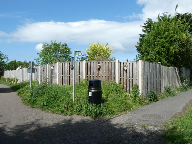
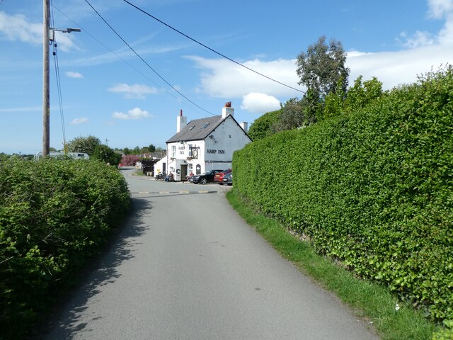
Images are sourced within 2km of 53.276839/-3.04451 or Grid Reference SJ3076. Thanks to Geograph Open Source API. All images are credited.
Ness is located at Grid Ref: SJ3076 (Lat: 53.276839, Lng: -3.04451)
Unitary Authority: Cheshire West and Chester
Police Authority: Cheshire
What 3 Words
///shifting.accordion.fuels. Near Neston, Cheshire
Related Wikis

Ness, Cheshire
Ness is a village on the Wirral Peninsula, in the part that remains in the ceremonial county of Cheshire, England. It is situated near to the town of Neston...
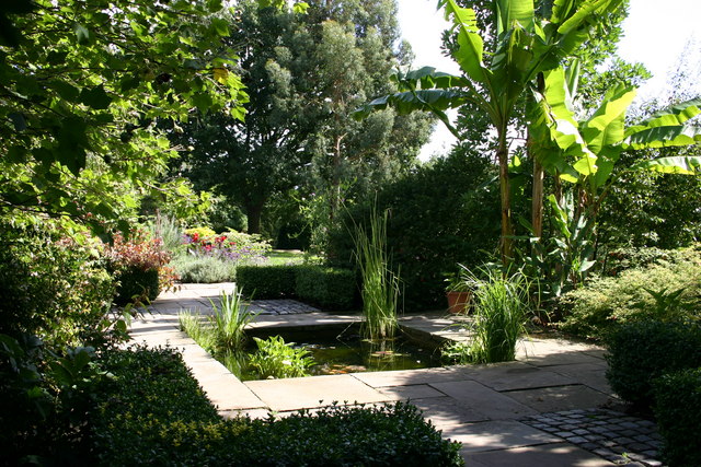
Ness Botanic Gardens
Ness Botanic Gardens are at Ness, Cheshire in the Wirral Peninsula. This is near the cities of Liverpool and Chester and close to the English-Welsh border...

Little Neston
Little Neston is a village south of Neston and situated on the Wirral Peninsula, Cheshire, England. Little Neston is administratively part of Cheshire...

Neston South railway station
Neston South railway station was a station on the single track Hooton to West Kirby branch of the Birkenhead Railway, on the Wirral Peninsula, Cheshire...
Nearby Amenities
Located within 500m of 53.276839,-3.04451Have you been to Ness?
Leave your review of Ness below (or comments, questions and feedback).