Nessholt

Settlement in Cheshire

England

Nessholt

Stratford Road, Little Neston The River Dee and the coast of North Wales are in the background.
Stratford Road, Little Neston Credit: M J Roscoe

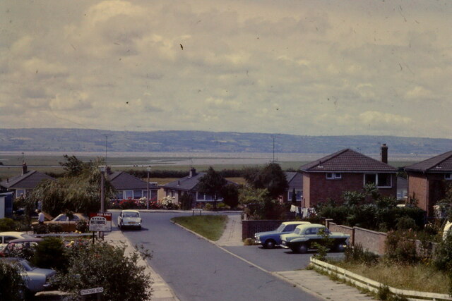
Nessholt is a small village located in the county of Cheshire, England. Situated in the rural countryside, Nessholt is known for its picturesque landscapes and quaint charm. The village is home to a close-knit community of residents who take pride in their historic surroundings.

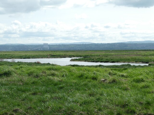
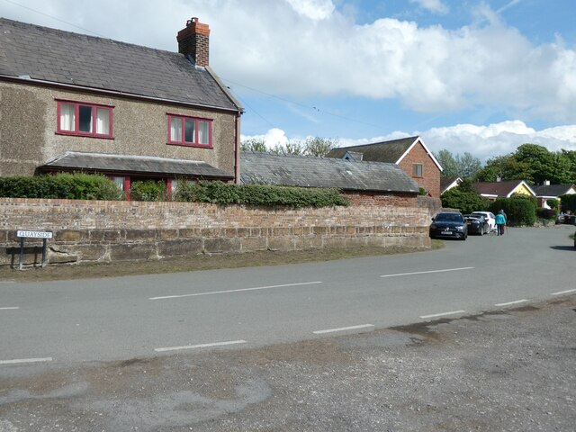
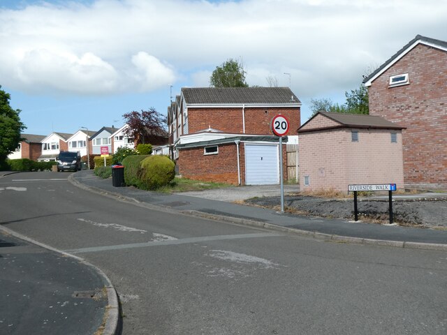
Nessholt features a mix of traditional cottages and modern homes, giving it a unique blend of old-world charm and contemporary living. The village is surrounded by rolling green fields and woodlands, making it an ideal destination for outdoor enthusiasts and nature lovers.

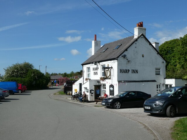
In terms of amenities, Nessholt has a local pub, a small convenience store, and a primary school, providing residents with the essentials they need for day-to-day living. Additionally, the village is well-connected to nearby towns and cities, making it a convenient place to live for those who commute for work.

Overall, Nessholt offers a peaceful and idyllic setting for those looking to escape the hustle and bustle of urban life and enjoy the tranquility of the English countryside.

If you have any feedback on the listing, please let us know in the comments section below.
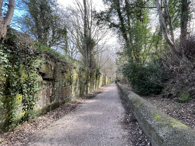
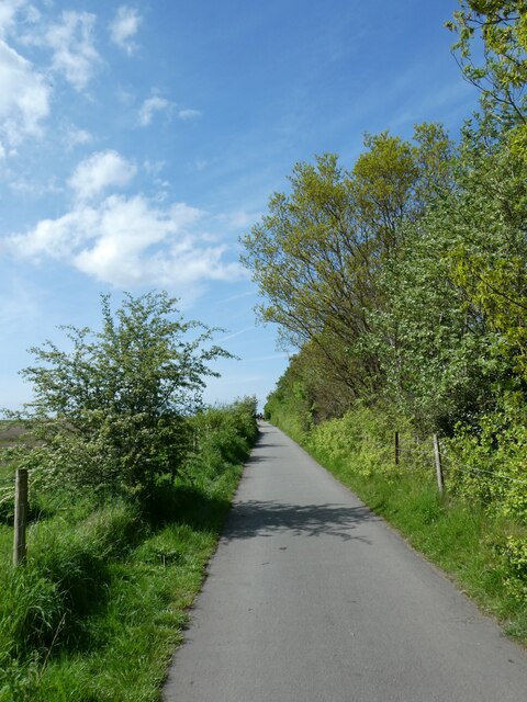
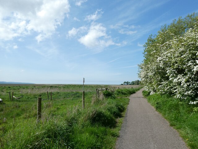
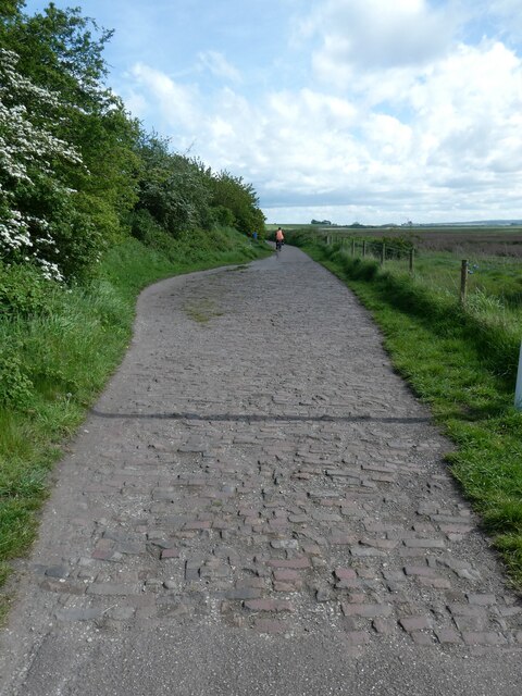
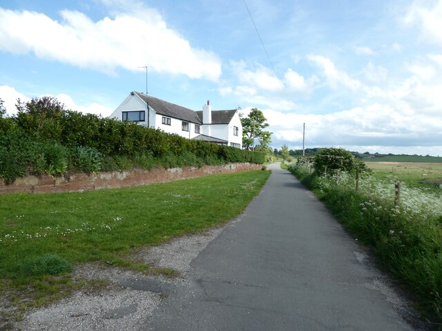
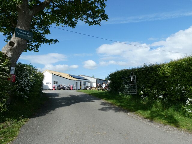
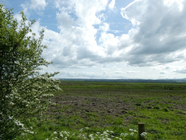
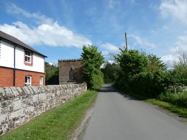
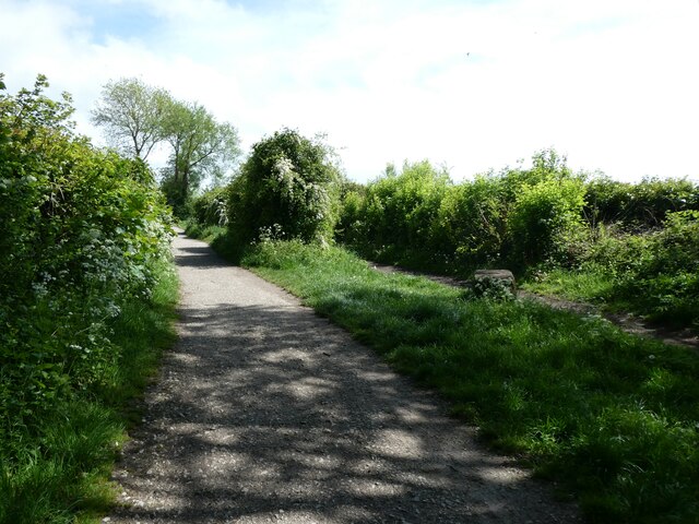
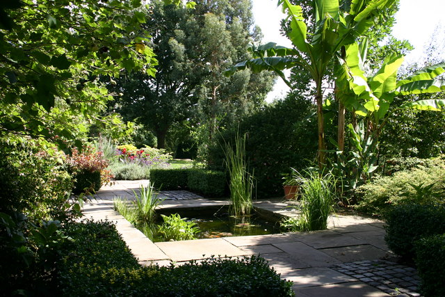
Nessholt Images

Images are sourced within 2km of 53.27634/-3.0512184 or Grid Reference SJ3076. Thanks to Geograph Open Source API. All images are credited.

Stratford Road, Little Neston The River Dee and the coast of North Wales are in the background.
Stratford Road, Little Neston
The River Dee and the coast of North Wales are in the background.
Wirral Way in Neston cutting
Cycle route (NCN568) by marshes south of Nessholt The National Cycle Network is a network of cycle routes. It was created by the charity Sustrans <span class="nowrap"><a title="http://www.sustrans.org.uk/what-we-do/national-cycle-network" rel="nofollow ugc noopener" href="http://www.sustrans.org.uk/what-we-do/national-cycle-network">Link</a><img style="margin-left:2px;" alt="External link" title="External link - shift click to open in new window" src="https://s1.geograph.org.uk/img/external.png" width="10" height="10"/></span>  (Sustainable Transport), aided by a National Lottery grant.

Many routes aim to minimise contact with motor traffic, though 70% of them are on roads. In some cases the NCN uses pedestrian routes, disused railways, minor roads, canal towpaths, or traffic-calmed routes in towns and cities.
Cycle route (NCN568) by marshes south of Nessholt
The National Cycle Network is a network of cycle routes. It was created by the charity Sustrans LinkExternal link (Sustainable Transport), aided by a National Lottery grant. Many routes aim to minimise contact with motor traffic, though 70% of them are on roads. In some cases the NCN uses pedestrian routes, disused railways, minor roads, canal towpaths, or traffic-calmed routes in towns and cities.
Marshland by Dee Estuary and cycle route (NCN568) to Nessholt The National Cycle Network is a network of cycle routes. It was created by the charity Sustrans <span class="nowrap"><a title="http://www.sustrans.org.uk/what-we-do/national-cycle-network" rel="nofollow ugc noopener" href="http://www.sustrans.org.uk/what-we-do/national-cycle-network">Link</a><img style="margin-left:2px;" alt="External link" title="External link - shift click to open in new window" src="https://s1.geograph.org.uk/img/external.png" width="10" height="10"/></span>  (Sustainable Transport), aided by a National Lottery grant.

Many routes aim to minimise contact with motor traffic, though 70% of them are on roads. In some cases the NCN uses pedestrian routes, disused railways, minor roads, canal towpaths, or traffic-calmed routes in towns and cities.
Marshland by Dee Estuary and cycle route (NCN568) to Nessholt
The National Cycle Network is a network of cycle routes. It was created by the charity Sustrans LinkExternal link (Sustainable Transport), aided by a National Lottery grant. Many routes aim to minimise contact with motor traffic, though 70% of them are on roads. In some cases the NCN uses pedestrian routes, disused railways, minor roads, canal towpaths, or traffic-calmed routes in towns and cities.
Junction of paths at Nessholt On the left is a cycle route NCN568, joining a footpath on the right
Junction of paths at Nessholt
On the left is a cycle route NCN568, joining a footpath on the right
Harp Inn, Nessholt, by cycle route N568 The National Cycle Network is a network of cycle routes. It was created by the charity Sustrans <span class="nowrap"><a title="http://www.sustrans.org.uk/what-we-do/national-cycle-network" rel="nofollow ugc noopener" href="http://www.sustrans.org.uk/what-we-do/national-cycle-network">Link</a><img style="margin-left:2px;" alt="External link" title="External link - shift click to open in new window" src="https://s1.geograph.org.uk/img/external.png" width="10" height="10"/></span>  (Sustainable Transport), aided by a National Lottery grant.

Many routes aim to minimise contact with motor traffic, though 70% of them are on roads. In some cases the NCN uses pedestrian routes, disused railways, minor roads, canal towpaths, or traffic-calmed routes in towns and cities.
Harp Inn, Nessholt, by cycle route N568
The National Cycle Network is a network of cycle routes. It was created by the charity Sustrans LinkExternal link (Sustainable Transport), aided by a National Lottery grant. Many routes aim to minimise contact with motor traffic, though 70% of them are on roads. In some cases the NCN uses pedestrian routes, disused railways, minor roads, canal towpaths, or traffic-calmed routes in towns and cities.
Footpath at Little Neston and marshland
Cars parked by marsh on the quay, Neston
Marshland by Dee estuary seen from Neston The towers of the power plant opposite Connah's Quay are visible in the distance
Marshland by Dee estuary seen from Neston
The towers of the power plant opposite Connah's Quay are visible in the distance
Quayside, Little Neston
Riverside Walk, Little Neston Close to the river, but not quite the side of the river
Riverside Walk, Little Neston
Close to the river, but not quite the side of the river
The Harp Inn, Little Neston
Path with brick surface, south of Little Neston, by marsh Footpath and cycle route (NCN568)
Path with brick surface, south of Little Neston, by marsh
Footpath and cycle route (NCN568)
Denhall House Farm south of Little Neston The cycle route and footpath runs between the farm and the marsh
Denhall House Farm south of Little Neston
The cycle route and footpath runs between the farm and the marsh
Outdoor catering, Denhall House Farm
The marsh southwest of Denhall House Farm
House and stone building by NCN568 north of Burton Marsh Beside NCN568
House and stone building by NCN568 north of Burton Marsh
Beside NCN568
Wirral Way south of Neston The National Cycle Network is a network of cycle routes. It was created by the charity Sustrans <span class="nowrap"><a title="http://www.sustrans.org.uk/what-we-do/national-cycle-network" rel="nofollow ugc noopener" href="http://www.sustrans.org.uk/what-we-do/national-cycle-network">Link</a><img style="margin-left:2px;" alt="External link" title="External link - shift click to open in new window" src="https://s1.geograph.org.uk/img/external.png" width="10" height="10"/></span>  (Sustainable Transport), aided by a National Lottery grant.

Many routes aim to minimise contact with motor traffic, though 70% of them are on roads. In some cases the NCN uses pedestrian routes, disused railways, minor roads, canal towpaths, or traffic-calmed routes in towns and cities.
Wirral Way south of Neston
The National Cycle Network is a network of cycle routes. It was created by the charity Sustrans LinkExternal link (Sustainable Transport), aided by a National Lottery grant. Many routes aim to minimise contact with motor traffic, though 70% of them are on roads. In some cases the NCN uses pedestrian routes, disused railways, minor roads, canal towpaths, or traffic-calmed routes in towns and cities.
Show me another place!

Nessholt is located at Grid Ref: SJ3076 (Lat: 53.27634, Lng: -3.0512184)

Unitary Authority: Cheshire West and Chester

Police Authority: Cheshire

What 3 Words

///endings.clashing.ghosts. Near Neston, Cheshire

Nearby Locations

Nessholt Ness Ness Holt

Related Wikis

Ness, Cheshire

Ness is a village on the Wirral Peninsula, in the part that remains in the ceremonial county of Cheshire, England. It is situated near to the town of Neston...

Little Neston

Little Neston is a village south of Neston and situated on the Wirral Peninsula, Cheshire, England. Little Neston is administratively part of Cheshire...

Ness Botanic Gardens

Ness Botanic Gardens are at Ness, Cheshire in the Wirral Peninsula. This is near the cities of Liverpool and Chester and close to the English-Welsh border...

Neston South railway station

Neston South railway station was a station on the single track Hooton to West Kirby branch of the Birkenhead Railway, on the Wirral Peninsula, Cheshire...

Nearby Amenities

Located within 500m of 53.27634,-3.0512184
Turning Circle
Lat/Long: 53.2762935/-3.0456325
Turning Circle
Lat/Long: 53.2773645/-3.0442499
Telephone
Booth: K6
Covered: booth
Listed Status: Grade II
Operator: BT
Phone: +44 151 336 4260
Lat/Long: 53.2765327/-3.0483331
Bus Stop
Ness, Neston Road / The Wheatsheaf
Bus: yes
Naptan AtcoCode: 0610EP1301
Naptan Bearing: SE
Naptan CommonName: The Wheatsheaf
Naptan Crossing: Well Lane
Naptan Indicator: nr
Naptan Landmark: Hope Cottage
Naptan LocalityName: Ness
Naptan NaptanCode: chwjmdm
Naptan ShortCommonName: The Wheatsheaf
Naptan Street: Neston Road
Naptan Verified: no
Public Transport: platform
Source: naptan_import
Lat/Long: 53.2762/-3.04776
Bus Stop
Ness, Neston Road / The Wheatsheaf
Bus: yes
Naptan AtcoCode: 0610EP1302
Naptan Bearing: N
Naptan CommonName: The Wheatsheaf
Naptan Crossing: Well Lane
Naptan Indicator: o/s
Naptan Landmark: The Wheatsheaf
Naptan LocalityName: Ness
Naptan NaptanCode: chwjmdp
Naptan ShortCommonName: The Wheatsheaf
Naptan Street: Neston Road
Naptan Verified: no
Public Transport: platform
Source: naptan_import
Lat/Long: 53.276572/-3.0486041
Bus Stop
Ness Holt, Neston Road / School Lane
Bus: yes
Naptan AtcoCode: 0610EP1303
Naptan Bearing: SE
Naptan CommonName: School Lane
Naptan Crossing: School Lane
Naptan Indicator: cnr
Naptan Landmark: School Lane
Naptan LocalityName: Ness Holt
Naptan NaptanCode: chwjmdt
Naptan ShortCommonName: School Lane
Naptan Street: Neston Road
Naptan Verified: no
Public Transport: platform
Source: naptan_import
Lat/Long: 53.2795278/-3.0516511
Bus Stop
Little Neston, Greenfields Drive / Brook Well
Bench: no
Bin: no
Bus: yes
Naptan AtcoCode: 0610EP1316
Naptan Bearing: NE
Naptan CommonName: Brook Well
Naptan Crossing: Brook Well
Naptan Indicator: cnr
Naptan Landmark: House number 46
Naptan LocalityName: Little Neston
Naptan NaptanCode: chwjmjg
Naptan ShortCommonName: Brook Well
Naptan Street: Greenfields Drive
Naptan Verified: no
Public Transport: platform
Shelter: no
Source: naptan_import
Lat/Long: 53.2771856/-3.0572927
Bus Stop
Little Neston, Greenfields Drive / Brook Well
Bench: no
Bin: no
Bus: yes
Naptan AtcoCode: 0610EP19007
Naptan Bearing: SW
Naptan BusStopType: CUS
Naptan CommonName: Brook Well
Naptan Crossing: Brook Well
Naptan Indicator: opp
Naptan Landmark: Brook Well
Naptan LocalityName: Little Neston
Naptan NaptanCode: chwtdag
Naptan ShortCommonName: Brook Well
Naptan Street: Greenfields Drive
Naptan Verified: no
Public Transport: platform
Shelter: no
Source: naptan_import
Lat/Long: 53.2770789/-3.0571551
Post Box
Lat/Long: 53.2796923/-3.0519494
Barrier: kissing_gate
Foot: yes
Lat/Long: 53.2770106/-3.0564572
Barrier: kissing_gate
Lat/Long: 53.2782139/-3.0471071
Bench
Lat/Long: 53.2765523/-3.0487614
Generator Method: photovoltaic
Generator Output Electricity: yes
Generator Source: solar
Generator Type: solar_photovoltaic_panel
Location: roof
Power: generator
Lat/Long: 53.2754081/-3.0466228
Generator Method: photovoltaic
Generator Output Electricity: yes
Generator Source: solar
Generator Type: solar_photovoltaic_panel
Location: roof
Power: generator
Lat/Long: 53.2759261/-3.0486695
Generator Method: photovoltaic
Generator Output Electricity: yes
Generator Source: solar
Generator Type: solar_photovoltaic_panel
Location: roof
Power: generator
Lat/Long: 53.276465/-3.0514937
Generator Method: photovoltaic
Generator Output Electricity: yes
Generator Source: solar
Generator Type: solar_photovoltaic_panel
Location: roof
Power: generator
Lat/Long: 53.280011/-3.0496832
Generator Method: photovoltaic
Generator Output Electricity: yes
Generator Source: solar
Generator Type: solar_photovoltaic_panel
Location: roof
Power: generator
Lat/Long: 53.2801457/-3.0503001
Generator Method: photovoltaic
Generator Output Electricity: yes
Generator Source: solar
Generator Type: solar_photovoltaic_panel
Location: roof
Power: generator
Lat/Long: 53.2771659/-3.0565952
Generator Method: photovoltaic
Generator Output Electricity: yes
Generator Source: solar
Generator Type: solar_photovoltaic_panel
Location: roof
Power: generator
Lat/Long: 53.2764971/-3.058454
Generator Method: photovoltaic
Generator Output Electricity: yes
Generator Source: solar
Generator Type: solar_photovoltaic_panel
Location: roof
Power: generator
Lat/Long: 53.2779405/-3.0547606
Leisure: playground
Lat/Long: 53.2771421/-3.0488134
Bus Stop
Ness Holt, Neston Road / School Lane
Bus: yes
Naptan AtcoCode: 0610EP19024
Naptan Bearing: NW
Naptan BusStopType: CUS
Naptan CommonName: School Lane
Naptan Crossing: School Lane
Naptan Indicator: opp
Naptan Landmark: School Lane
Naptan LocalityName: Ness Holt
Naptan NaptanCode: chwadmat
Naptan ShortCommonName: School Lane
Naptan Street: Neston Road
Public Transport: platform
Source: naptan_import
Lat/Long: 53.2792239/-3.051614
Direction: both
Traffic Calming: chicane
Lat/Long: 53.2748086/-3.0443583
The data included in this document is from www.openstreetmap.org. The data is made available under ODbL.

Have you been to Nessholt?

Leave your review of Nessholt below (or comments, questions and feedback).