Ness Holt
Settlement in Cheshire
England
Ness Holt
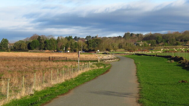
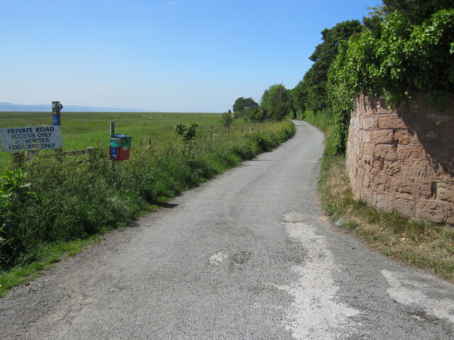
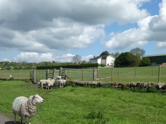
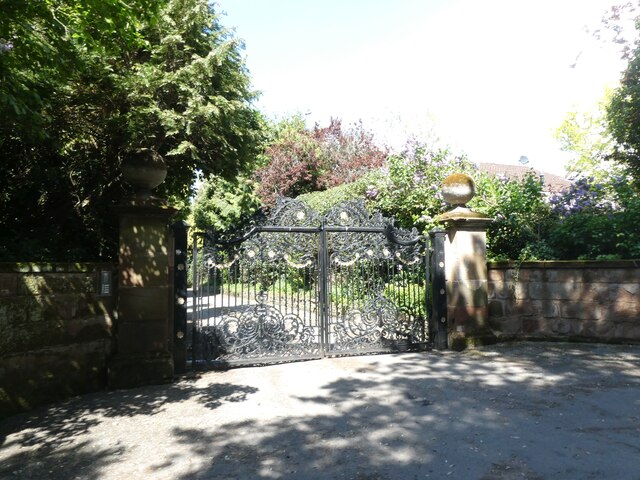
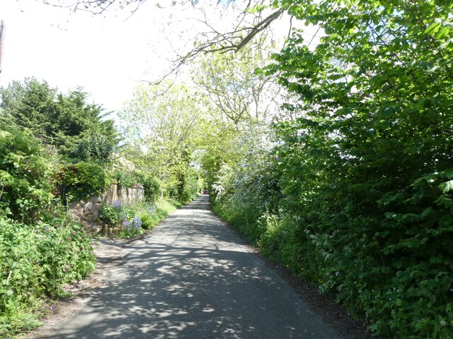
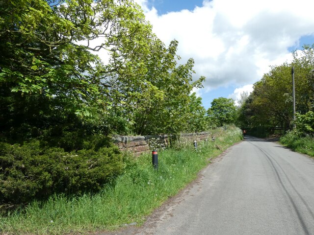
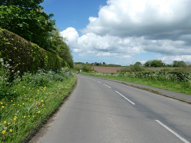
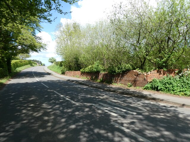
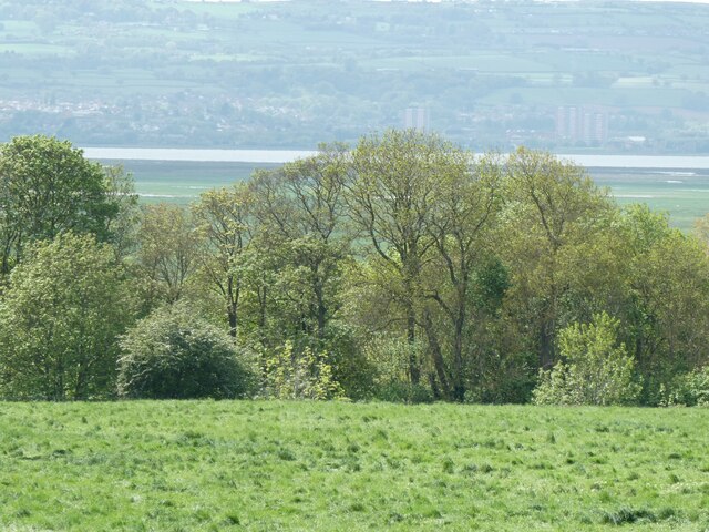
Ness Holt is a small village located in the county of Cheshire, England. Situated on the outskirts of the town of Neston, it is part of the Wirral Peninsula and lies close to the Welsh border. The village is nestled amidst picturesque countryside, with rolling hills and lush green landscapes surrounding it.
Despite its small size, Ness Holt offers a tranquil and idyllic setting for its residents. The village is characterized by its charming cottages, many of which date back several centuries, adding to its historic appeal. The streets are lined with well-manicured gardens and flower-filled hanging baskets, creating a vibrant and colorful atmosphere.
Ness Holt is known for its strong sense of community, with a tight-knit population that takes pride in their village. The village amenities include a local pub, the heart of the community, where residents can gather to socialize and enjoy a pint. Additionally, a small village hall serves as a venue for various community events and activities.
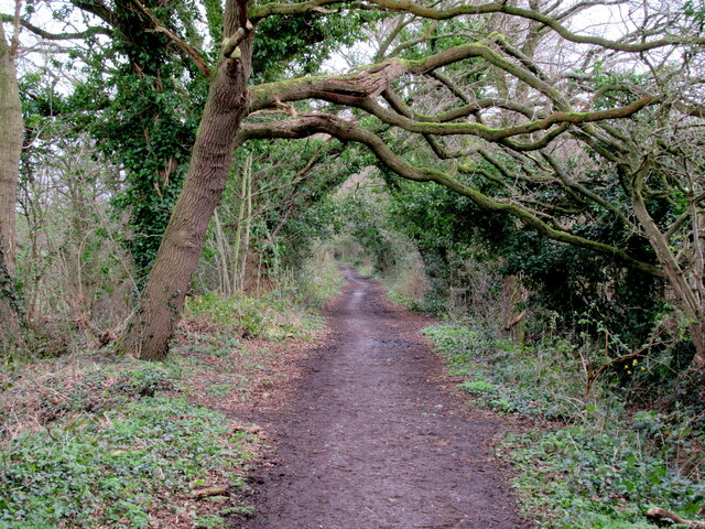
For those seeking outdoor pursuits, Ness Holt is surrounded by an array of scenic walking and cycling routes. The nearby Wirral Way, a converted railway line, offers a picturesque path for leisurely strolls and bike rides, providing stunning views of the surrounding countryside.
Overall, Ness Holt is an enchanting village that offers a peaceful and picturesque setting, making it an ideal place for those looking to escape the hustle and bustle of city life and embrace a tranquil rural lifestyle.
If you have any feedback on the listing, please let us know in the comments section below.
Ness Holt Images
Images are sourced within 2km of 53.278805/-3.0510089 or Grid Reference SJ3076. Thanks to Geograph Open Source API. All images are credited.
Ness Holt is located at Grid Ref: SJ3076 (Lat: 53.278805, Lng: -3.0510089)
Unitary Authority: Cheshire West and Chester
Police Authority: Cheshire
What 3 Words
///spines.sleepless.repeating. Near Neston, Cheshire
Related Wikis

Little Neston
Little Neston is a village south of Neston and situated on the Wirral Peninsula, Cheshire, England. Little Neston is administratively part of Cheshire...

Ness, Cheshire
Ness is a village on the Wirral Peninsula, in the part that remains in the ceremonial county of Cheshire, England. It is situated near to the town of Neston...
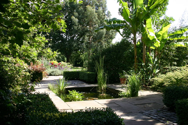
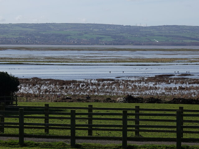
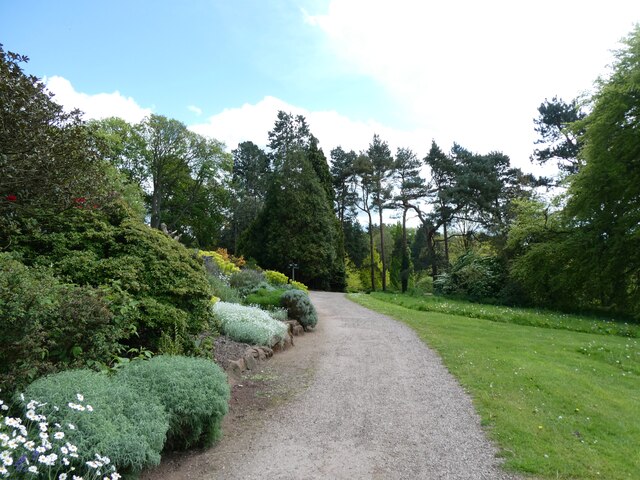
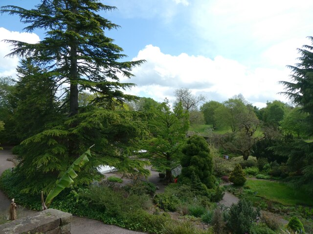
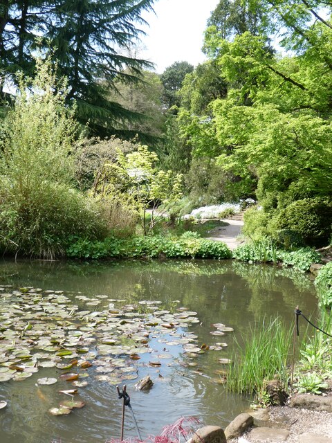
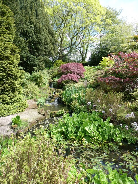
Ness Botanic Gardens
Ness Botanic Gardens are at Ness, Cheshire in the Wirral Peninsula. This is near the cities of Liverpool and Chester and close to the English-Welsh border...

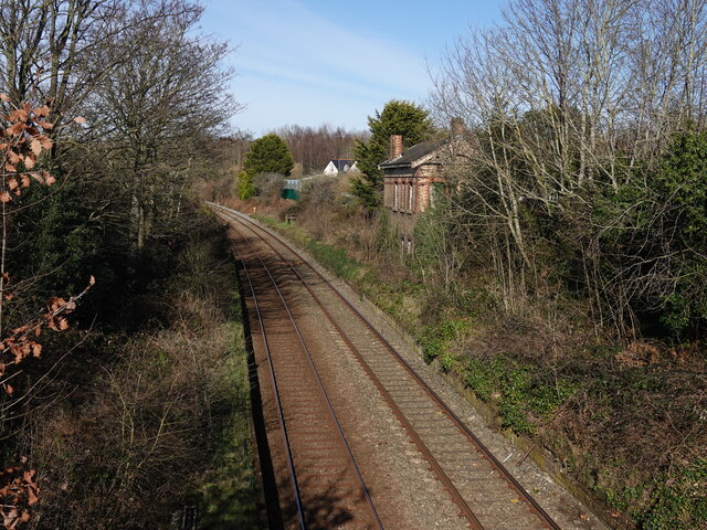
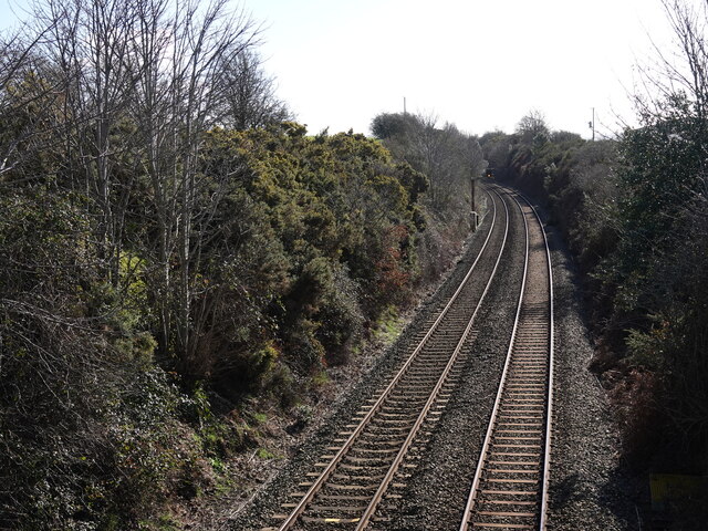
Neston South railway station
Neston South railway station was a station on the single track Hooton to West Kirby branch of the Birkenhead Railway, on the Wirral Peninsula, Cheshire...
Nearby Amenities
Located within 500m of 53.278805,-3.0510089Have you been to Ness Holt?
Leave your review of Ness Holt below (or comments, questions and feedback).