Bentley
Settlement in Warwickshire North Warwickshire
England
Bentley
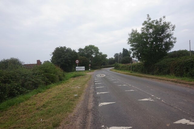
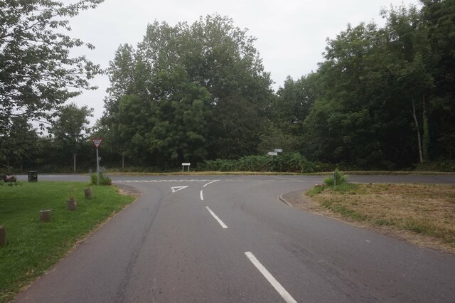
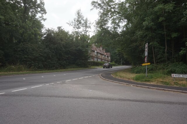
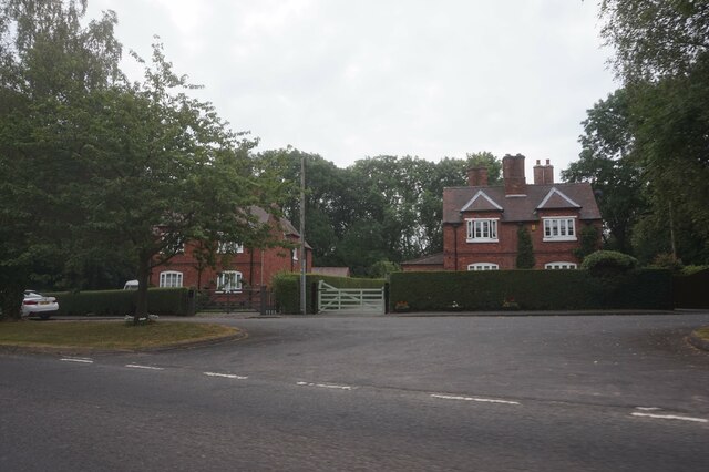
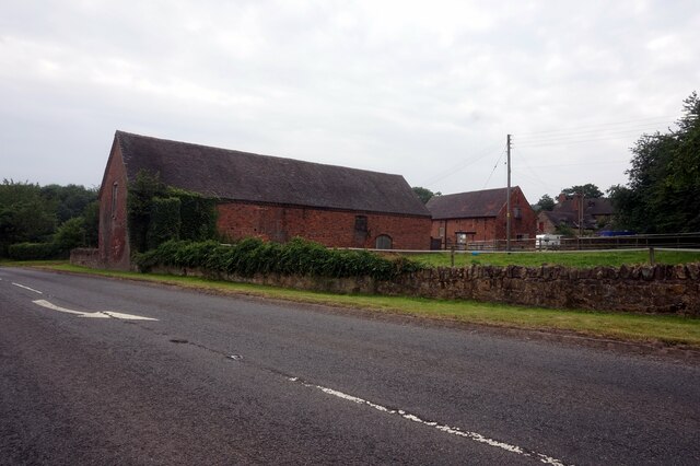
Bentley is a small village located in the county of Warwickshire, England. Situated approximately 5 miles north of the historic town of Rugby, Bentley is a rural community known for its picturesque countryside and tranquil atmosphere.
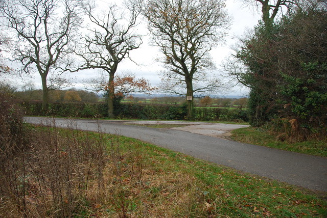
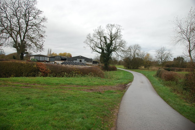
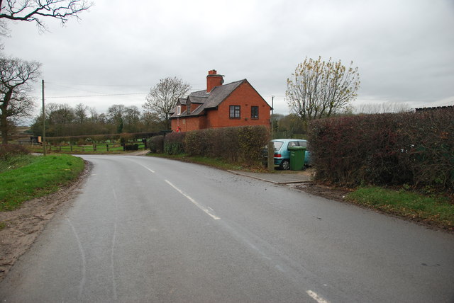
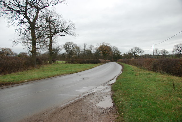
The village is surrounded by rolling hills, green fields, and charming country lanes, making it an ideal destination for those seeking a peaceful retreat away from the hustle and bustle of city life. It is home to a relatively small population, contributing to the close-knit and friendly community that characterizes the area.
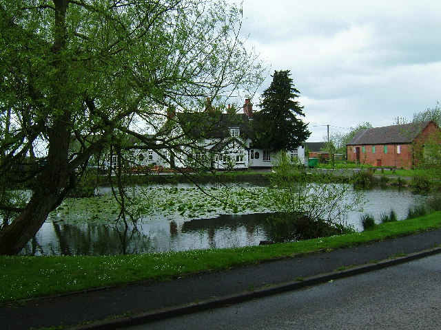
Despite its size, Bentley offers its residents and visitors a few essential amenities. The village boasts a local pub, providing a cozy spot for socializing and enjoying a pint. Additionally, there is a small convenience store where basic groceries and essential goods can be purchased.
Bentley is also renowned for its natural beauty and outdoor recreational opportunities. The surrounding countryside offers numerous walking and cycling trails, allowing nature enthusiasts to explore the stunning landscapes and enjoy the fresh air. The village is also in close proximity to several notable attractions, including Draycote Water, a large reservoir popular for sailing, fishing, and bird watching.
Overall, Bentley, Warwickshire, offers a charming rural experience, with its idyllic scenery and friendly community. It is a place where residents can enjoy a peaceful lifestyle while still having access to essential amenities and nearby attractions.
If you have any feedback on the listing, please let us know in the comments section below.
Bentley Images
Images are sourced within 2km of 52.561148/-1.5814626 or Grid Reference SP2896. Thanks to Geograph Open Source API. All images are credited.
Bentley is located at Grid Ref: SP2896 (Lat: 52.561148, Lng: -1.5814626)
Administrative County: Warwickshire
District: North Warwickshire
Police Authority: Warwickshire
What 3 Words
///backward.green.pounces. Near Atherstone, Warwickshire
Nearby Locations
Related Wikis
Bentley Common
Bentley Common is a village in Warwickshire, England. For population details see Merevale. == External links == Media related to Bentley Common at Wikimedia...
Bentley, Warwickshire
Bentley is a village and civil parish in the North Warwickshire district of Warwickshire, England, about two miles south-west of Atherstone. According...
Baxterley
Baxterley is a small village and civil parish in the North Warwickshire district of Warwickshire in England. According to the 2001 Census, it had a population...
Baddesley Ensor
Baddesley Ensor is a village and civil parish in the district of North Warwickshire in Warwickshire, England, about three miles west of Atherstone. It...
Merevale Hall
Merevale Hall is a private country house in Merevale, near Atherstone, Warwickshire, England. It is a Grade II* listed building. The estate descends from...
St Mary The Church of Our Lady, Merevale
St. Mary The Church of Our Lady Merevale, is a historic parish church in Merevale, Warwickshire is known for its Jesse window. Originally, it was part...
Merevale
Merevale is a small village and civil parish in the North Warwickshire district of the county of Warwickshire in England. Located about one and a half...
Atherstone Rural District
Atherstone Rural District was located in the administrative county of Warwickshire, England, from 1894 to 1974. It was named after its main town and administrative...
Nearby Amenities
Located within 500m of 52.561148,-1.5814626Have you been to Bentley?
Leave your review of Bentley below (or comments, questions and feedback).
