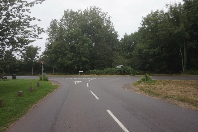
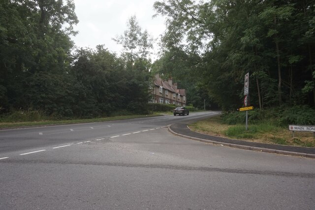
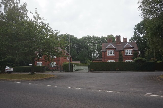
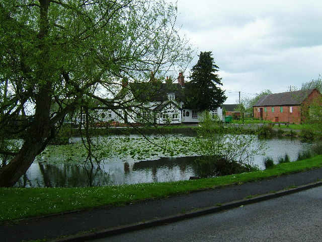
Baxterley Common
Downs, Moorland in Warwickshire North Warwickshire
England
Baxterley Common
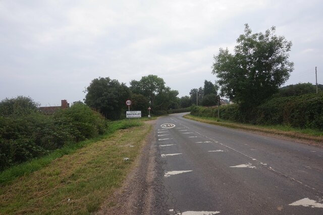
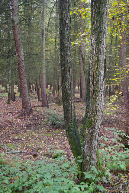
Baxterley Common is a picturesque expanse of open land located in Warwickshire, England. Spanning over an area of approximately 500 acres, the common is primarily characterized by its rolling downs and stunning moorland.
The common is situated in the northwestern part of Warwickshire, near the village of Baxterley. It is known for its diverse range of flora and fauna, making it a popular destination for nature enthusiasts and hikers. The common is home to a variety of plant species, including heather, gorse, and bracken, which create a vibrant and colorful landscape throughout the year.
The tranquil atmosphere of Baxterley Common is enhanced by the presence of several ponds and streams, which further contribute to the rich biodiversity of the area. These water bodies provide habitats for numerous aquatic creatures, including frogs, newts, and various types of fish.
The common is also known for its diverse bird population. Birdwatchers can spot species such as skylarks, meadow pipits, and stonechats, among others. Additionally, the occasional sighting of raptors, such as kestrels and buzzards, adds excitement to the birdwatching experience.
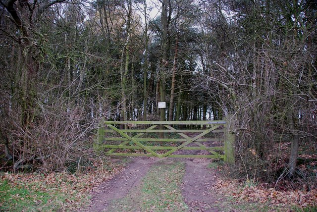
With its vast open spaces, Baxterley Common offers ample opportunities for outdoor activities such as walking, jogging, and picnicking. The well-maintained footpaths and bridleways make it accessible for people of all ages and abilities.
Overall, Baxterley Common in Warwickshire is a stunning natural haven that showcases the beauty of the English countryside. Its downs, moorland, and diverse wildlife make it a must-visit destination for those seeking a peaceful and immersive experience in nature.
If you have any feedback on the listing, please let us know in the comments section below.
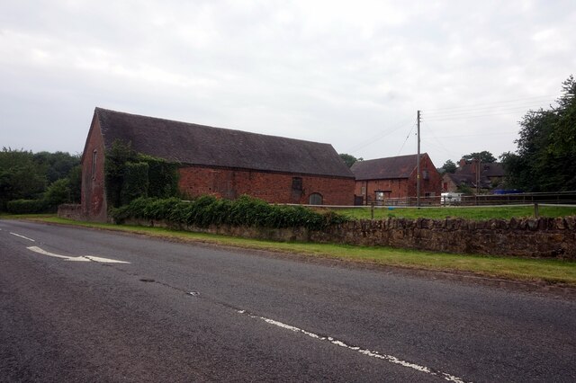
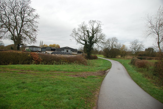
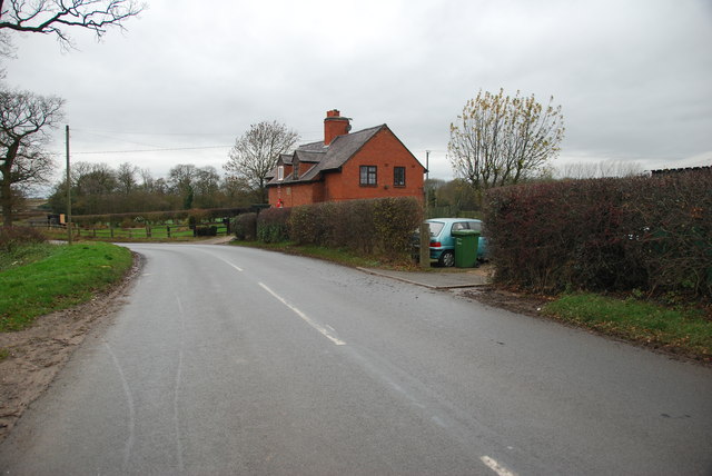
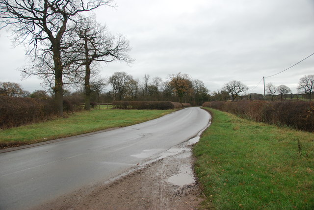
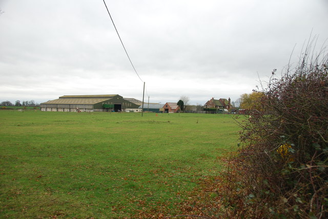
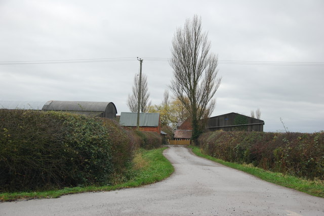
Baxterley Common Images
Images are sourced within 2km of 52.568977/-1.5834389 or Grid Reference SP2896. Thanks to Geograph Open Source API. All images are credited.


Baxterley Common is located at Grid Ref: SP2896 (Lat: 52.568977, Lng: -1.5834389)
Administrative County: Warwickshire
District: North Warwickshire
Police Authority: Warwickshire
What 3 Words
///unfilled.thing.divisions. Near Atherstone, Warwickshire
Nearby Locations
Related Wikis
Baxterley
Baxterley is a small village and civil parish in the North Warwickshire district of Warwickshire in England. According to the 2001 Census, it had a population...

Bentley, Warwickshire
Bentley is a village and civil parish in the North Warwickshire district of Warwickshire, England, about two miles south-west of Atherstone. According...
Bentley Common
Bentley Common is a village in Warwickshire, England. For population details see Merevale. == External links == Media related to Bentley Common at Wikimedia...
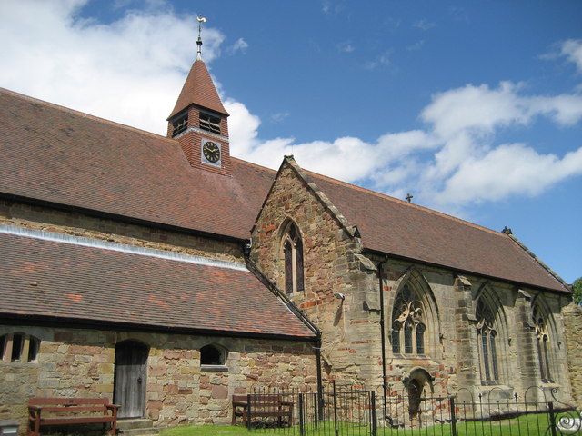
St Mary The Church of Our Lady, Merevale
St. Mary The Church of Our Lady Merevale, is a historic parish church in Merevale, Warwickshire is known for its Jesse window. Originally, it was part...

Merevale
Merevale is a small village and civil parish in the North Warwickshire district of the county of Warwickshire in England. Located about one and a half...
Baddesley Ensor
Baddesley Ensor is a village and civil parish in the district of North Warwickshire in Warwickshire, England, about three miles west of Atherstone. It...

Merevale Hall
Merevale Hall is a private country house in Merevale, near Atherstone, Warwickshire, England. It is a Grade II* listed building. The estate descends from...
Atherstone Rural District
Atherstone Rural District was located in the administrative county of Warwickshire, England, from 1894 to 1974. It was named after its main town and administrative...
Nearby Amenities
Located within 500m of 52.568977,-1.5834389Have you been to Baxterley Common?
Leave your review of Baxterley Common below (or comments, questions and feedback).