Austrey Meadows
Downs, Moorland in Warwickshire North Warwickshire
England
Austrey Meadows
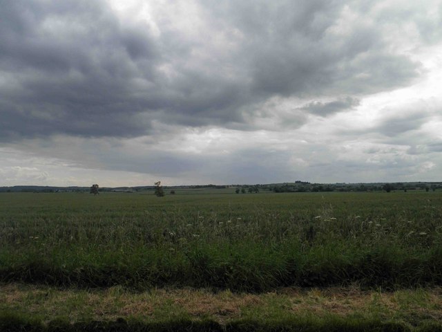
Austrey Meadows is a picturesque area located in Warwickshire, England, known for its rolling downs and expansive moorland. Situated in the heart of the Midlands, this rural landscape offers a tranquil escape from the hustle and bustle of city life.
The meadows are characterized by gently sloping hills covered in lush green grass, interspersed with patches of wildflowers that create a vibrant tapestry of colors during the spring and summer months. The area is home to a diverse range of flora and fauna, with rare species of birds and butterflies often spotted amongst the wildflowers.
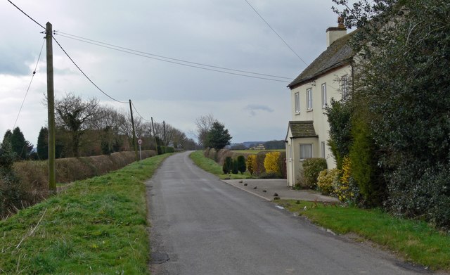
Visitors to Austrey Meadows can enjoy leisurely walks or hikes, exploring the network of footpaths that crisscross the landscape. These paths provide breathtaking views of the surrounding countryside, offering the perfect opportunity for nature enthusiasts and photographers to capture the beauty of the area.
The moorland in Austrey Meadows is another prominent feature, offering a stark contrast to the downs. Here, visitors can find expanses of heather, gorse, and bracken, creating a unique and rugged environment. The moorland is home to a variety of wildlife, including deer, rabbits, and various species of birds.
Austrey Meadows is also rich in history, with the remains of ancient settlements and burial mounds scattered throughout the area. Archaeological discoveries have provided insights into the lives of the people who once inhabited this land, adding an additional layer of intrigue to the landscape.
Overall, Austrey Meadows is a place of natural beauty and tranquility, offering visitors a chance to immerse themselves in the stunning Warwickshire countryside. Whether it's a leisurely stroll or a more adventurous hike, this idyllic location is sure to captivate anyone seeking a peaceful escape.
If you have any feedback on the listing, please let us know in the comments section below.
Austrey Meadows Images
Images are sourced within 2km of 52.650268/-1.5824013 or Grid Reference SK2805. Thanks to Geograph Open Source API. All images are credited.


Austrey Meadows is located at Grid Ref: SK2805 (Lat: 52.650268, Lng: -1.5824013)
Administrative County: Warwickshire
District: North Warwickshire
Police Authority: Warwickshire
What 3 Words
///unroll.rise.insisting. Near Polesworth, Warwickshire
Nearby Locations
Related Wikis

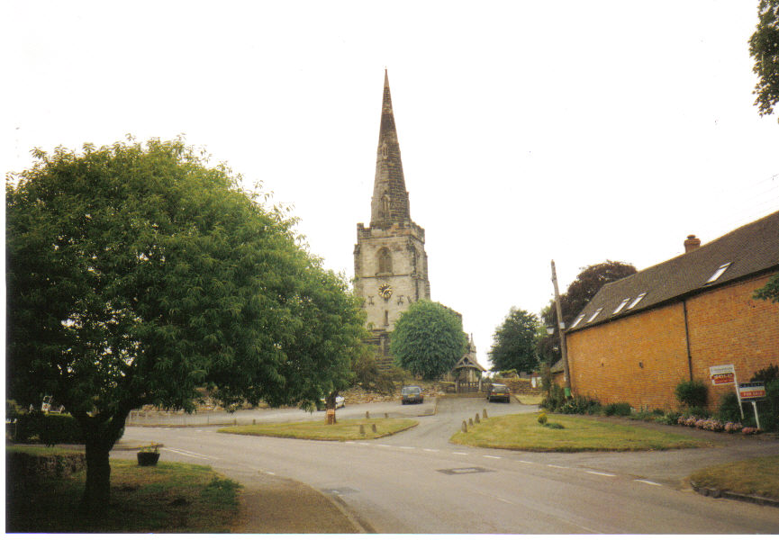
Austrey, Warwickshire
Austrey is a village and civil parish in the North Warwickshire District of Warwickshire, England. and the village lies at the northern extremity of the...
Newton Regis
Newton Regis is a village and civil parish in the North Warwickshire district of Warwickshire, England. It has a population of 599 at the 2011 Census....

Warton, Warwickshire
Warton is a village in the North Warwickshire district of Warwickshire, England. It is five miles east of Tamworth and four miles north-west of Atherstone...

Seckington
Seckington is a village and civil parish in North Warwickshire, about 4 miles (6 km) northeast of Tamworth. The B4593 road between Tamworth and Appleby...

Shuttington
Shuttington is a village and civil parish in North Warwickshire, England, situated north-east of Tamworth, Staffordshire. In the 2001 census, the parish...

Orton on the Hill
Orton on the Hill is a village and former civil parish, now in the parish of Twycross, in the Hinckley and Bosworth district of Leicestershire, England...
Little Orton, Leicestershire
Little Orton is a hamlet in the English county of Leicestershire. Little Orton is part of the civil parish of Twycross (where the population is included...
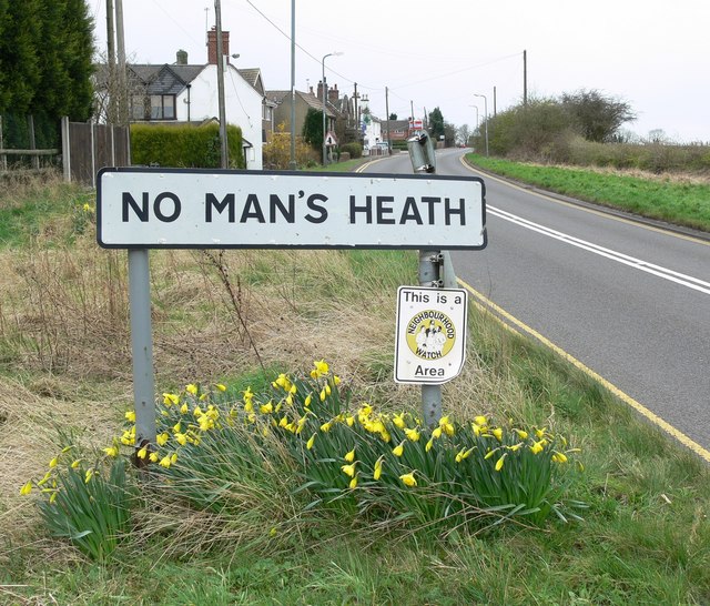
No Man's Heath, Warwickshire
No Man's Heath is an area of the civil parish of Newton Regis, in the North Warwickshire district, in the county of Warwickshire, England, about 6 miles...
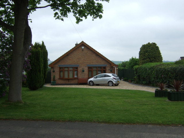
Nearby Amenities
Located within 500m of 52.650268,-1.5824013Have you been to Austrey Meadows?
Leave your review of Austrey Meadows below (or comments, questions and feedback).