Bentley Common

Settlement in Warwickshire North Warwickshire

England

Bentley Common

Atherstone Lane at Baxterley
Atherstone Lane at Baxterley Credit: Ian S

Bentley Common is a small rural village located in the county of Warwickshire, England. Situated approximately 4 miles east of the town of Rugby, it is surrounded by picturesque countryside and offers a tranquil and peaceful atmosphere.

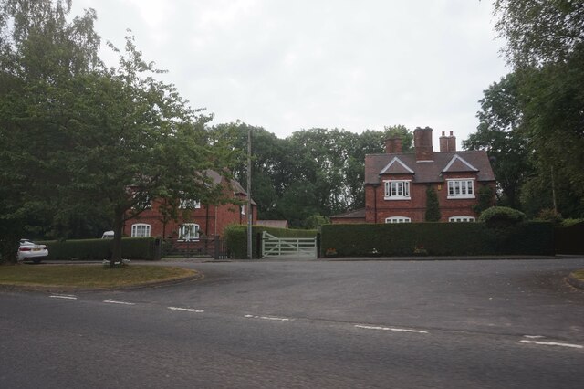
The village is known for its charming and well-preserved traditional houses, many of which date back several centuries. These properties, built with local stone, give Bentley Common a distinct and timeless character. The village also boasts a small but welcoming community, with friendly locals who take pride in their village.

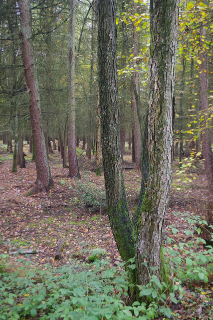
Nature enthusiasts will find Bentley Common to be a haven for outdoor activities. The surrounding countryside offers numerous walking and cycling trails, allowing visitors to explore the beautiful landscapes and enjoy the fresh air. The nearby Draycote Water, a reservoir and nature reserve, is a popular spot for birdwatching and sailing.

Despite its rural setting, Bentley Common benefits from good transportation links. The nearby M6 motorway provides easy access to other parts of Warwickshire and the wider Midlands region. The village is also served by regular bus services, connecting it to nearby towns and villages.

While Bentley Common does not have its own shops or amenities, residents have easy access to nearby Rugby, which offers a range of facilities including supermarkets, schools, and healthcare services. Additionally, the village is within a reasonable distance of several larger towns, such as Coventry and Leamington Spa, which offer a wider array of amenities and entertainment options.

In summary, Bentley Common is a charming village in Warwickshire, providing residents and visitors with a peaceful and picturesque countryside setting, while also benefiting from its proximity to larger towns and transportation links.

If you have any feedback on the listing, please let us know in the comments section below.

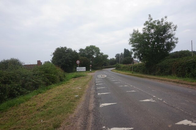
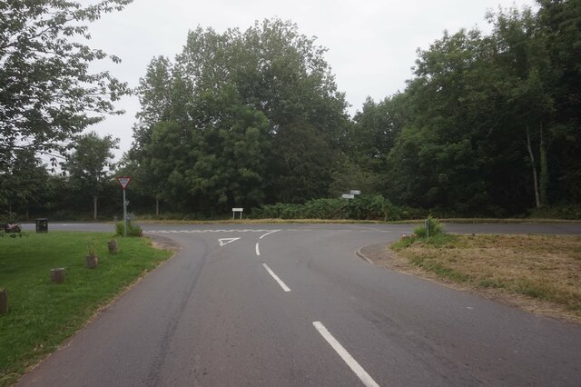
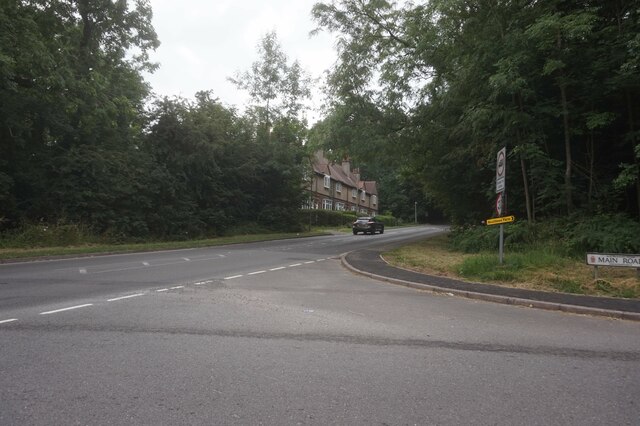
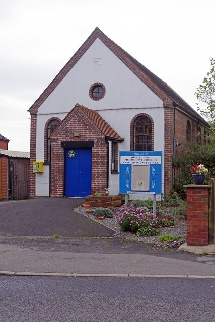
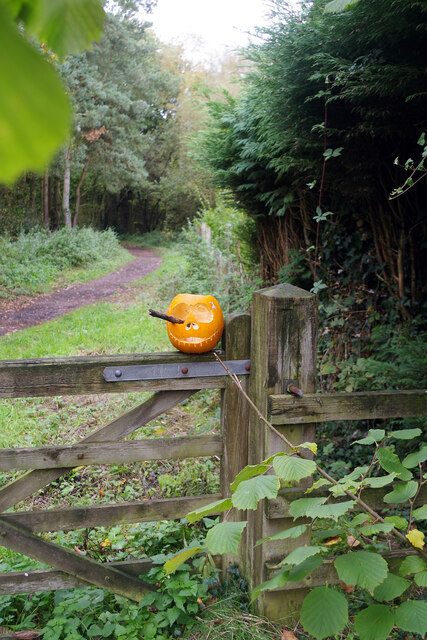
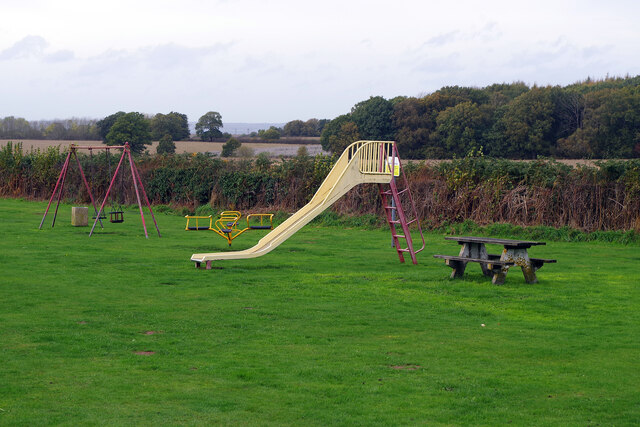
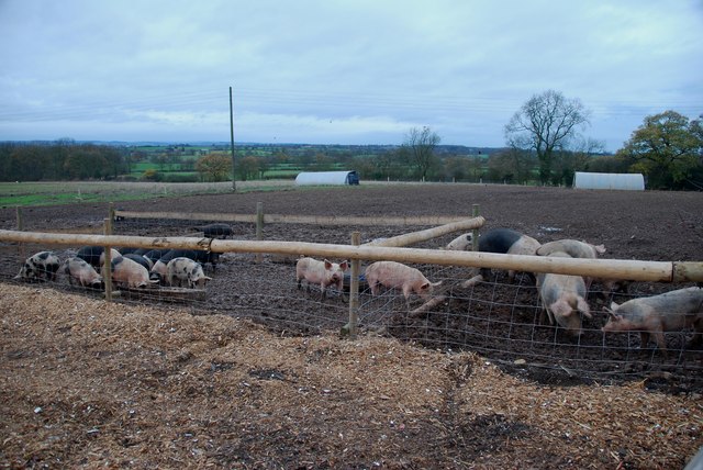
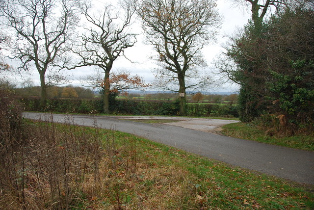
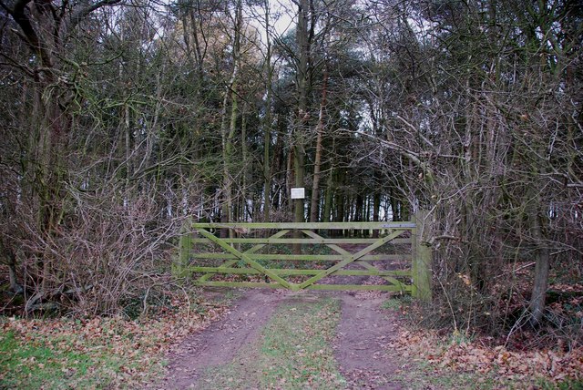
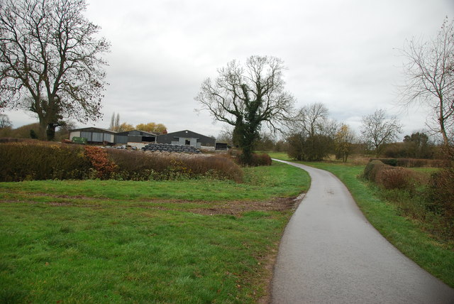
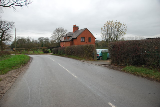
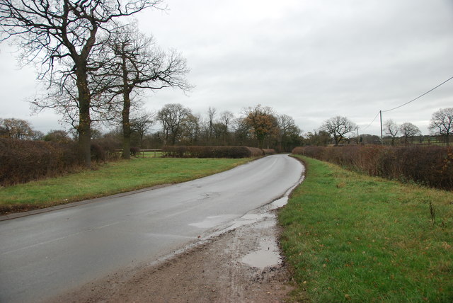
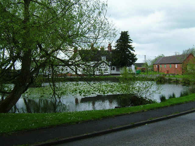
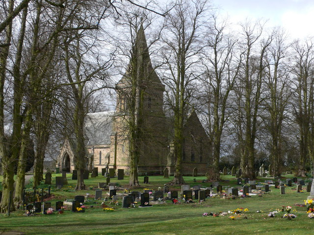
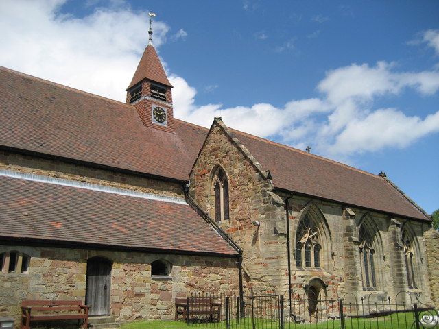
Bentley Common Images

Images are sourced within 2km of 52.561119/-1.588396 or Grid Reference SP2896. Thanks to Geograph Open Source API. All images are credited.

Atherstone Lane at Baxterley
Windmill Lane at Main Road, Baxterley
The B4116 Merevale Lane from Main Road, Hurley
Houses on Merevale Lane, Hurley
Ridge Lane Methodist Church This Methodist church was built in 1931 and serves the village of Ridge Lane both as a place of worship and as a community centre. It is used, among other things, for regular meetings of the Women's Institute, a youth club and a ladies' group.
Ridge Lane Methodist Church
This Methodist church was built in 1931 and serves the village of Ridge Lane both as a place of worship and as a community centre. It is used, among other things, for regular meetings of the Women's Institute, a youth club and a ladies' group.
Bentley Park Wood and a pumpkin The pumpkin is no doubt a leftover from Halloween two days earlier. Beyond the gate the track heads through Bentley Park Wood to emerge by the Horse and Jockey pub about a mile away.
Bentley Park Wood and a pumpkin
The pumpkin is no doubt a leftover from Halloween two days earlier. Beyond the gate the track heads through Bentley Park Wood to emerge by the Horse and Jockey pub about a mile away.
Bridleway through Bentley Park Wood This bridleway starts at a pub, the White Hart at Ridge Lane and ends at a pub, the Horse and Jockey at Bentley; they are about a mile apart. Excellent walking country!
Bridleway through Bentley Park Wood
This bridleway starts at a pub, the White Hart at Ridge Lane and ends at a pub, the Horse and Jockey at Bentley; they are about a mile apart. Excellent walking country!
Bentley Park Wood Bentley Park Wood is part of the privately-owned Merevale Estate that covers a large part of North Warwickshire. It is mixed woodland that includes oak and ash, larch and pine, and is designated a Site of Special Scientific Interest.
Bentley Park Wood
Bentley Park Wood is part of the privately-owned Merevale Estate that covers a large part of North Warwickshire. It is mixed woodland that includes oak and ash, larch and pine, and is designated a Site of Special Scientific Interest.
Play area at Birchley Heath The play equipment is provided by Ansley Parish Council on this small field in the hamlet of Birchley Heath. In the background is Bentley Park Wood; historically this area was covered by the vast Forest of Arden.
Play area at Birchley Heath
The play equipment is provided by Ansley Parish Council on this small field in the hamlet of Birchley Heath. In the background is Bentley Park Wood; historically this area was covered by the vast Forest of Arden.
Church of Our Lady, Merevale
19 Gales Farmhouse Foods outdoor free range Pigs This is just a few of the free range pigs at Nightingales farm, the majority are kept in their woodland. To purchase their products, see link. <span class="nowrap"><a title="http://www.19gales.co.uk/" rel="nofollow ugc noopener" href="http://www.19gales.co.uk/">Link</a><img style="margin-left:2px;" alt="External link" title="External link - shift click to open in new window" src="https://s1.geograph.org.uk/img/external.png" width="10" height="10"/></span>
19 Gales Farmhouse Foods outdoor free range Pigs
This is just a few of the free range pigs at Nightingales farm, the majority are kept in their woodland. To purchase their products, see link. LinkExternal link
Country Lane at the end of the drive to Kimberley Hall Farm
A country lane in autumn colours near Bentley
No Entry to Private Woodland
Looking towards Drybrooks Farm, Wigston hill
Across the Green at Wigston Hill
A House on Atherstone Lane Boultbee's Farm can just be seen on the left of the picture.
A House on Atherstone Lane
Boultbee's Farm can just be seen on the left of the picture.
Atherstone Lane towards Wigston Hill
Show me another place!

Bentley Common is located at Grid Ref: SP2896 (Lat: 52.561119, Lng: -1.588396)

Administrative County: Warwickshire

District: North Warwickshire

Police Authority: Warwickshire

What 3 Words

///pictures.indulges.campers. Near Atherstone, Warwickshire

Related Wikis

Nearby Amenities

Located within 500m of 52.561119,-1.588396
Bus Stop
Smithy Lane
Bus: yes
Naptan AtcoCode: 4200F008400
Naptan Bearing: S
Naptan CommonName: Smithy Lane
Naptan Indicator: Opp
Naptan NaptanCode: waramdgt
Naptan Street: Coleshill Road
Naptan Verified: no
Public Transport: platform
Shelter: no
Source: naptan_import
Lat/Long: 52.5594307/-1.5829709
Bus Stop
Smithy Lane
Bus: yes
Naptan AtcoCode: 4200F008500
Naptan Bearing: N
Naptan CommonName: Smithy Lane
Naptan Indicator: Adj
Naptan NaptanCode: waramdgw
Naptan Street: Coleshill Road
Naptan Verified: no
Public Transport: platform
Source: naptan_import
Lat/Long: 52.5593957/-1.5832367
Bentley
Place: hamlet
Wikidata: Q2915813
Wikipedia: en:Bentley, Warwickshire
Lat/Long: 52.5580057/-1.585498
The data included in this document is from www.openstreetmap.org. The data is made available under ODbL.

Have you been to Bentley Common?

Leave your review of Bentley Common below (or comments, questions and feedback).