Bakers Gorse
Wood, Forest in Warwickshire North Warwickshire
England
Bakers Gorse
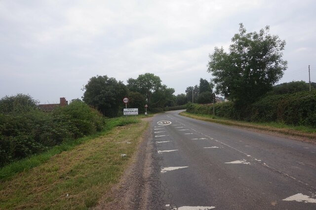
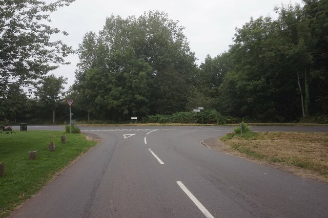
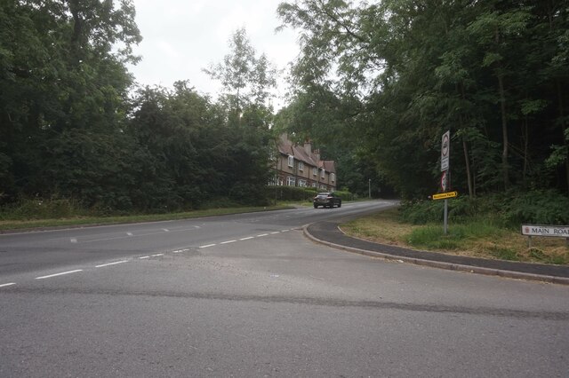
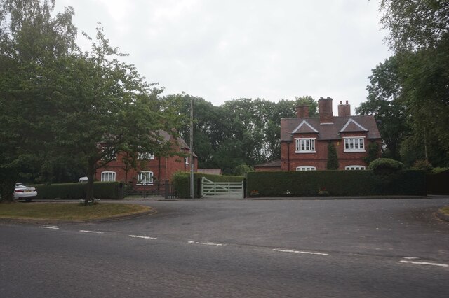
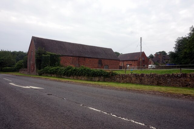
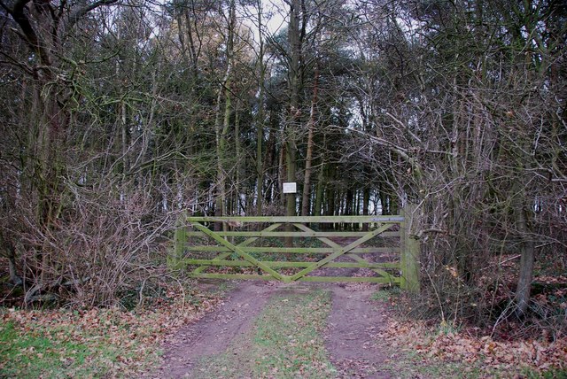
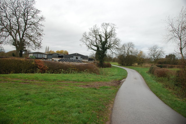
Bakers Gorse is a small wood located in Warwickshire, England. Covering an area of approximately 20 acres, it is classified as a forest due to its dense growth of trees and undergrowth. The wood is situated in a rural area, surrounded by fields and farmland, offering a peaceful and secluded environment.
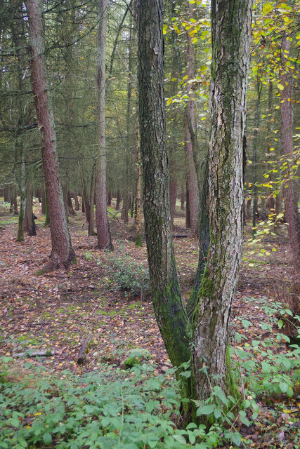
The dominant tree species found in Bakers Gorse include oak, birch, and beech, which create a diverse and vibrant canopy. The undergrowth consists of ferns, brambles, and a variety of wildflowers, adding to the overall beauty of the woodland. The forest floor is covered with a thick layer of leaf litter, providing a habitat for various insects, small mammals, and fungi.
Bakers Gorse is a popular destination for nature enthusiasts, hikers, and birdwatchers. The wood is home to a rich array of bird species, including woodpeckers, owls, and various songbirds. Visitors can also spot squirrels, rabbits, and occasionally deer roaming through the forest.
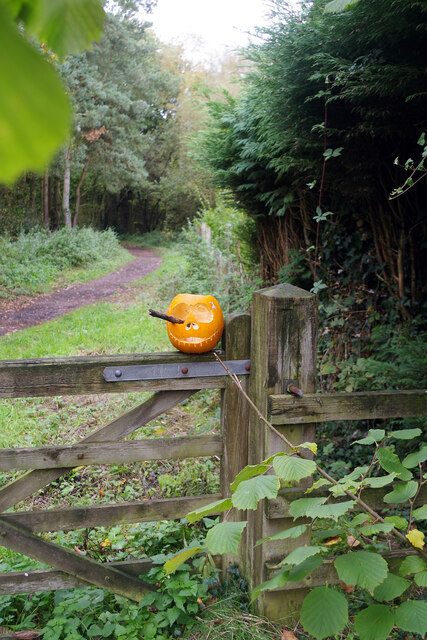
Tranquil walking paths wind through the wood, allowing visitors to explore its natural wonders. There are also designated picnic areas where visitors can relax and enjoy the serene surroundings. The wood is well-maintained and has information boards providing details about the flora and fauna found within the forest.
Overall, Bakers Gorse is a picturesque and biodiverse woodland, offering visitors the opportunity to immerse themselves in nature and experience the tranquility of Warwickshire's countryside.
If you have any feedback on the listing, please let us know in the comments section below.
Bakers Gorse Images
Images are sourced within 2km of 52.568473/-1.5783094 or Grid Reference SP2896. Thanks to Geograph Open Source API. All images are credited.


Bakers Gorse is located at Grid Ref: SP2896 (Lat: 52.568473, Lng: -1.5783094)
Administrative County: Warwickshire
District: North Warwickshire
Police Authority: Warwickshire
What 3 Words
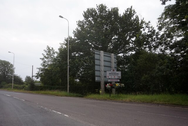
///pickup.dodging.sprains. Near Atherstone, Warwickshire
Nearby Locations
Related Wikis
Baxterley
Baxterley is a small village and civil parish in the North Warwickshire district of Warwickshire in England. According to the 2001 Census, it had a population...

Bentley Common
Bentley Common is a village in Warwickshire, England. For population details see Merevale. == External links == Media related to Bentley Common at Wikimedia...
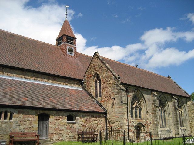
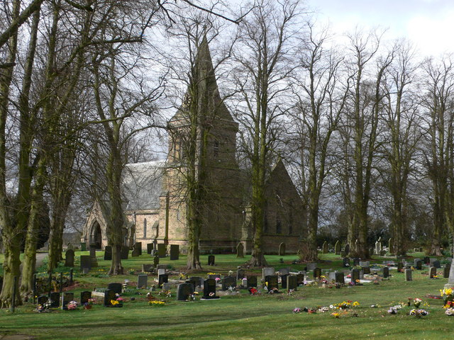
St Mary The Church of Our Lady, Merevale
St. Mary The Church of Our Lady Merevale, is a historic parish church in Merevale, Warwickshire is known for its Jesse window. Originally, it was part...

Merevale
Merevale is a small village and civil parish in the North Warwickshire district of the county of Warwickshire in England. Located about one and a half...
Bentley, Warwickshire
Bentley is a village and civil parish in the North Warwickshire district of Warwickshire, England, about two miles south-west of Atherstone. According...

Merevale Hall
Merevale Hall is a private country house in Merevale, near Atherstone, Warwickshire, England. It is a Grade II* listed building. The estate descends from...
Baddesley Ensor
Baddesley Ensor is a village and civil parish in the district of North Warwickshire in Warwickshire, England, about three miles west of Atherstone. It...
Atherstone Rural District
Atherstone Rural District was located in the administrative county of Warwickshire, England, from 1894 to 1974. It was named after its main town and administrative...
Related Videos

Bentley Woods - 4K DJI Mini 4 Pro Drone & Walking Tour - 1st Feb 2024 .
"Nothing like a walk to clear your mind" Taking a nice walk round Bentley Woods in Ridge Lane North Warwickshire . Drone views ...
How cool is this spiral wine cellar!!🍷🤩 full property tour coming soon #shorts
Subscribe for more luxury real estate.

Coventry Canal May Bank Holiday 2021
Atherstone Locks on the Coventry Canal with Photocaroline stills and video photography. Thank you to all those who were kind ...
CHICKEN ANYONE?
My son proves he is a marksman with the catapult... Now lunch is served! Only kidding... No chickens were harmed during the ...
Nearby Amenities
Located within 500m of 52.568473,-1.5783094Have you been to Bakers Gorse?
Leave your review of Bakers Gorse below (or comments, questions and feedback).