Nannau

Settlement in Merionethshire

Wales

Nannau

Public Conveniences Provided by Snowdonia National park in the Precipice Walk car park.
Public Conveniences Credit: John H Darch

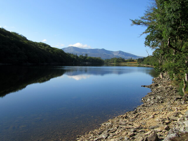
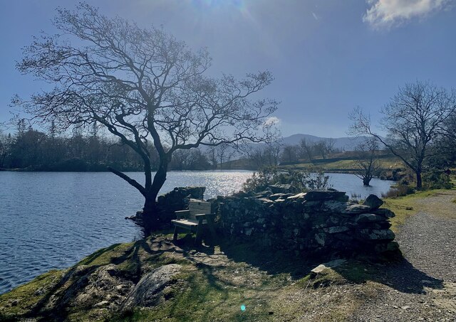
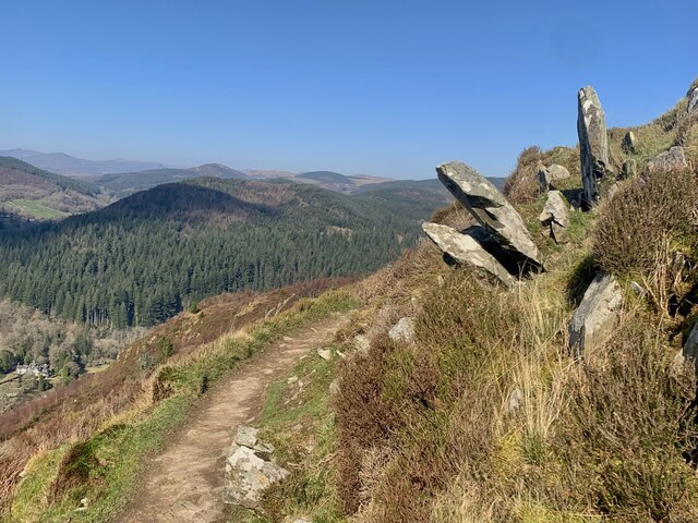
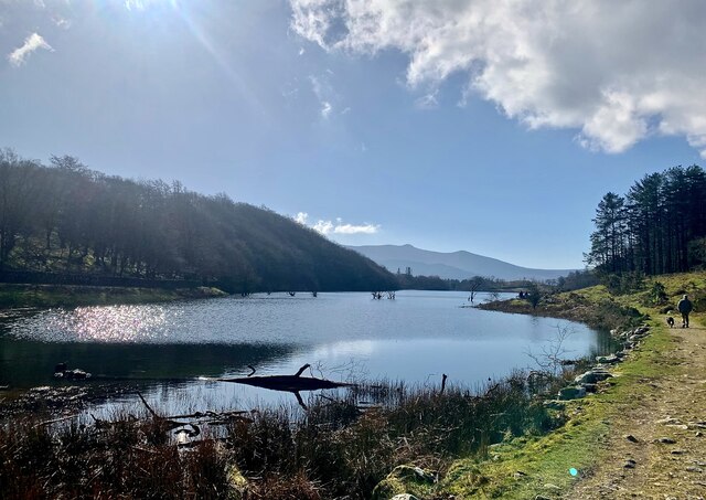
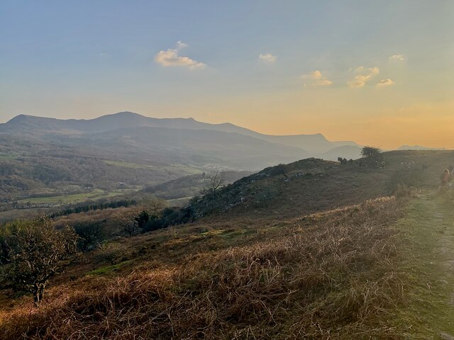
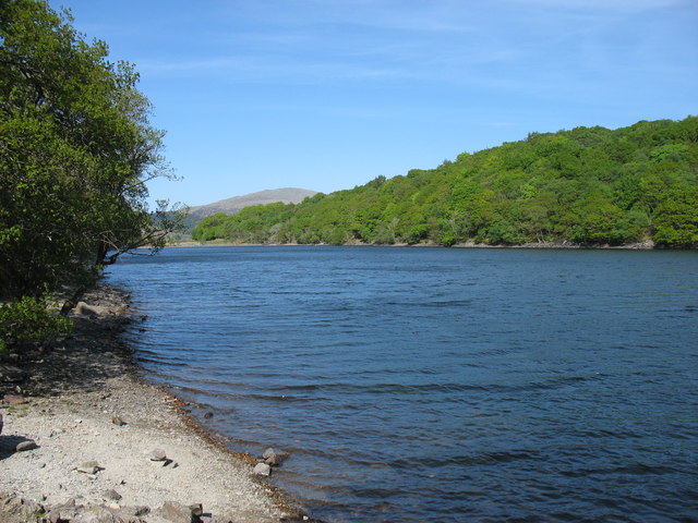
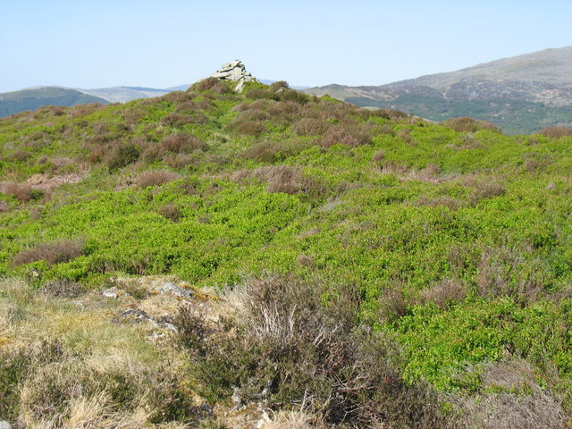
Nannau is a historic estate located in Merionethshire, Wales. Situated near the town of Dolgellau, it is nestled within the picturesque Snowdonia National Park. The estate spans over 20,000 acres of stunning natural beauty, consisting of rolling hills, dense forests, and serene lakes.

The history of Nannau dates back centuries, with records of its existence dating as far back as the 13th century. It has been associated with several prominent Welsh families, including the Vaughan and the Vaughan-Davies families, who played significant roles in the region's history.

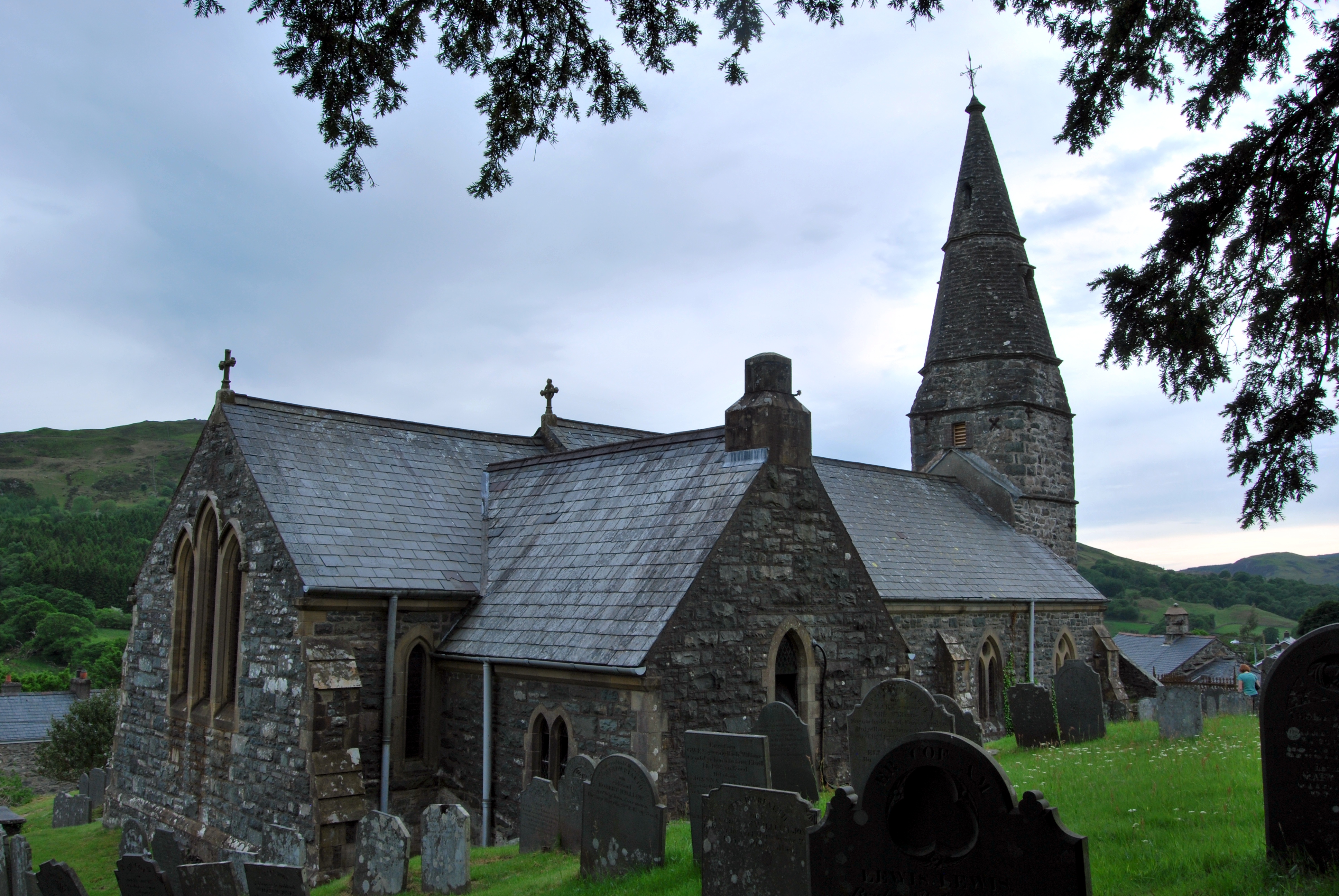
The centerpiece of the estate is Nannau Hall, an imposing mansion built in the 18th century. The hall showcases a mix of architectural styles, including Georgian and Victorian influences, and is surrounded by well-maintained gardens.

Nannau is renowned for its rich folklore and legends. One of the most famous tales is that of the Red Hand, a ghostly hand that is said to appear to those who trespass on the estate. This legend is linked to the tragic murder of a member of the Vaughan family in the 16th century.

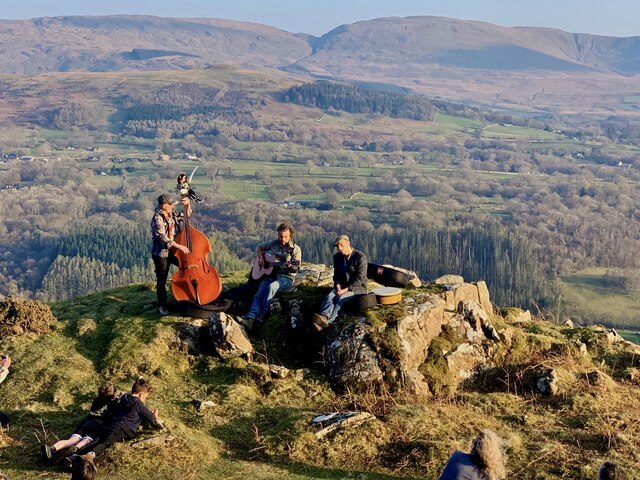
Today, Nannau attracts visitors from far and wide who come to explore its natural beauty, indulge in outdoor activities such as hiking and fishing, or simply immerse themselves in its fascinating history. The estate offers various accommodation options, including holiday cottages, providing a unique opportunity to experience the charm and tranquility of this enchanting location.

If you have any feedback on the listing, please let us know in the comments section below.
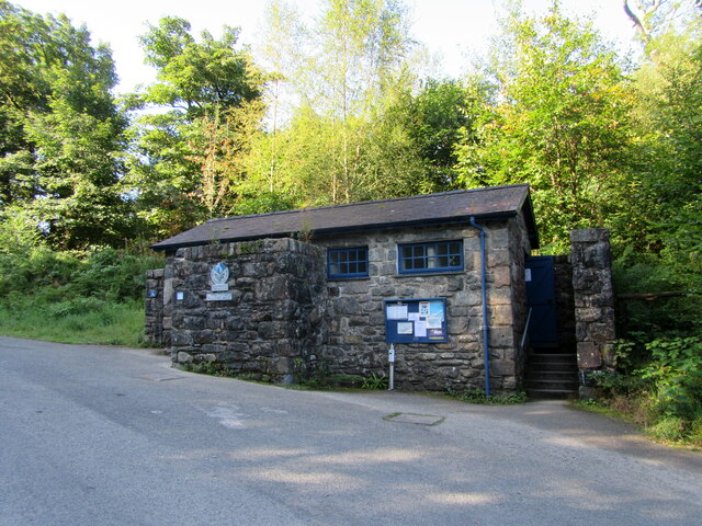
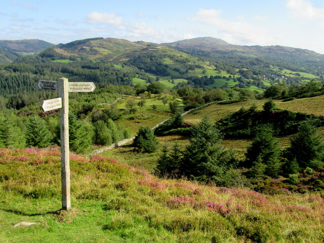
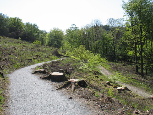
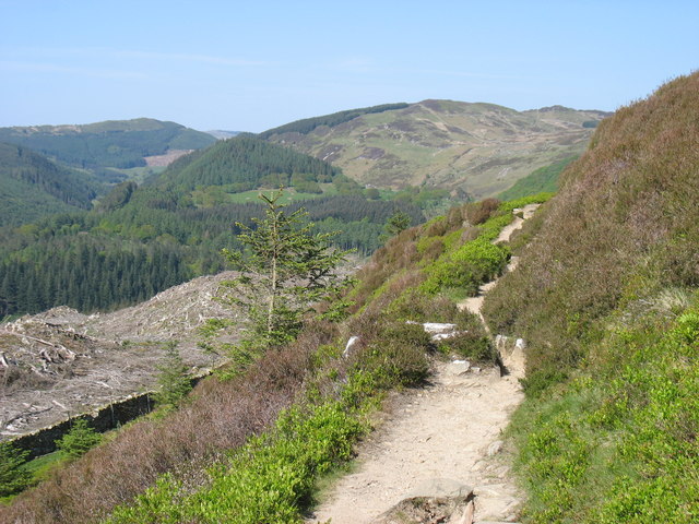
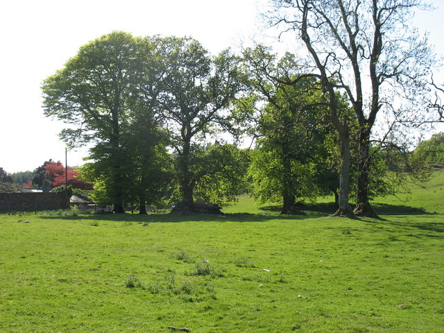
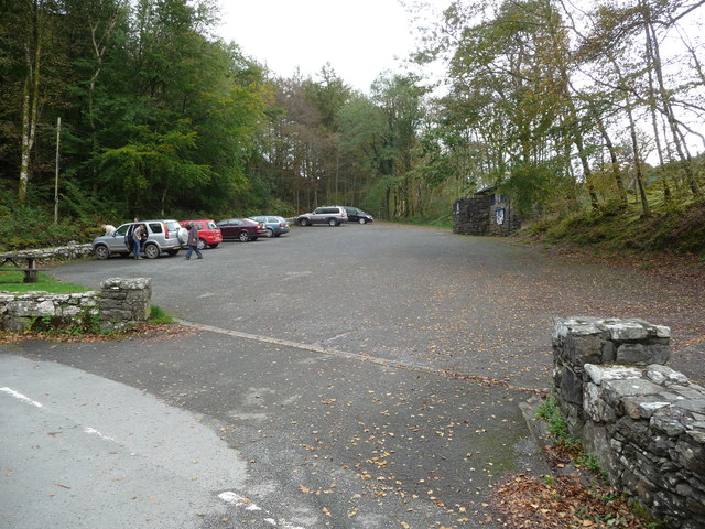
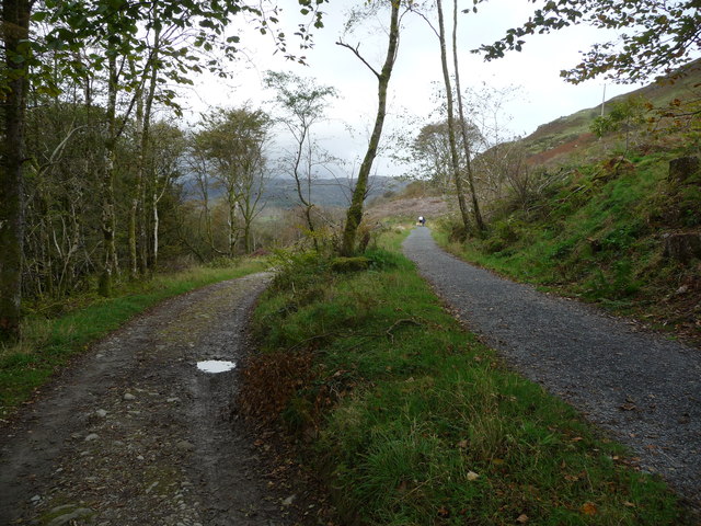
Nannau Images

Images are sourced within 2km of 52.769821/-3.865255 or Grid Reference SH7420. Thanks to Geograph Open Source API. All images are credited.

Public Conveniences Provided by Snowdonia National park in the Precipice Walk car park.
Public Conveniences
Provided by Snowdonia National park in the Precipice Walk car park.
Signpost Near the northern end of the Precipice Walk.
Signpost
Near the northern end of the Precipice Walk.
Llyn Cynwch Cader Idris in the background.
Llyn Cynwch
Cader Idris in the background.
Llyn Cynwch Ar y Llwybr Cynwch / On the Precipice Walk.
Llyn Cynwch
Ar y Llwybr Cynwch / On the Precipice Walk.
Llyn Cynwch & Cadair Idris A place to linger on the famous Precipice Walk.
Llyn Cynwch & Cadair Idris
A place to linger on the famous Precipice Walk.
Ar y Llwybr Cynwch A view on the Precipice Walk.
Ar y Llwybr Cynwch
A view on the Precipice Walk.
Llywbr a Llyn Cynwch The Precipice Walk alongside Llyn Cynwch.
Llywbr a Llyn Cynwch
The Precipice Walk alongside Llyn Cynwch.
Canu yn yr awyr agored An album launch (by the very talented Osian Morris, centre) on a crag on the side of Foel Offwrm as the sun went down.
Canu yn yr awyr agored
An album launch (by the very talented Osian Morris, centre) on a crag on the side of Foel Offwrm as the sun went down.
Machlud yr haul ar Foel Offrwmm Sunset from the path around Foel Offrwm, with Cadair Idris in the distance.
Machlud yr haul ar Foel Offrwmm
Sunset from the path around Foel Offrwm, with Cadair Idris in the distance.
Llyn Cynwch
Llyn Cynwch
The summit cairn on Foel Cynwch The well-known Precipice Walk encircles this summit, but few walkers seem to venture to the top of the hill.
The summit cairn on Foel Cynwch
The well-known Precipice Walk encircles this summit, but few walkers seem to venture to the top of the hill.
Road junction in the forest The layout is that of a very squashed letter 'X'. Visibility is far from good and I would not be surprised if there had been a few bumps here!
Road junction in the forest
The layout is that of a very squashed letter 'X'. Visibility is far from good and I would not be surprised if there had been a few bumps here!
Start of the Precipice Walk The only tree to have avoided the axe appears to have decided on hara-kiri, and fallen across the path!
Start of the Precipice Walk
The only tree to have avoided the axe appears to have decided on hara-kiri, and fallen across the path!
The south-west slopes of Foel Faner Looking to the Afon Mawddach estuary.
The south-west slopes of Foel Faner
Looking to the Afon Mawddach estuary.
On the Precipice Walk
Field by Nannau Home Farm
National Park car park near Nannau Also known as The Precipice Walk car park.
National Park car park near Nannau
Also known as The Precipice Walk car park.
Paths leading to and from the Precipice Walk A popular walk with all sorts of walkers.
Paths leading to and from the Precipice Walk
A popular walk with all sorts of walkers.
Show me another place!

Nannau is located at Grid Ref: SH7420 (Lat: 52.769821, Lng: -3.865255)

Unitary Authority: Gwynedd

Police Authority: North Wales

What 3 Words

///leaky.stumble.friend. Near Dolgellau, Gwynedd

Related Wikis

Nannau, Wales

Nannau (Welsh for 'the place of many streams'') is a Georgian mansion and estate near the village of Llanfachreth, Gwynedd, North Wales, UK. The mansion...

Dolserau Halt railway station

Dolserau Halt (Pron: Dol-seh-rye) in Gwynedd, Wales, was on the Ruabon to Barmouth line. The platform edge was made of timber and was situated on the north...

Llanfachreth

Llanfachreth is a settlement approximately three miles north-east of Dolgellau, Gwynedd, in the community of Brithdir and Llanfachreth within the historic...

Meirionnydd

Meirionnydd is a coastal and mountainous region of Wales. It has been a kingdom, a cantref, a district and, as Merionethshire, a county. == Kingdom... ==

Nearby Amenities

Located within 500m of 52.769821,-3.865255
Place: farm
Lat/Long: 52.7703177/-3.8620162
Nannau
Place: isolated_dwelling
Lat/Long: 52.7703697/-3.8644345
Toilets
Fee: no
Lat/Long: 52.773482/-3.860957
Hiking: yes
Information: guidepost
Tourism: information
Lat/Long: 52.7731983/-3.8605621
Power: pole
Lat/Long: 52.7742011/-3.8664083
Hiking: yes
Information: guidepost
Tourism: information
Lat/Long: 52.7725884/-3.8639282
The data included in this document is from www.openstreetmap.org. The data is made available under ODbL.

Have you been to Nannau?

Leave your review of Nannau below (or comments, questions and feedback).