Coed Gwanwyr

Wood, Forest in Merionethshire

Wales

Coed Gwanwyr

Public Conveniences Provided by Snowdonia National park in the Precipice Walk car park.
Public Conveniences Credit: John H Darch

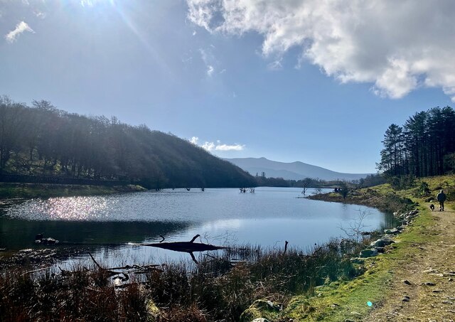
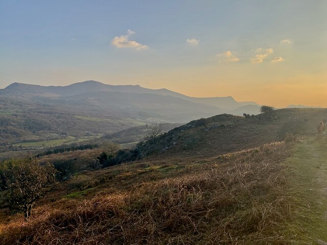
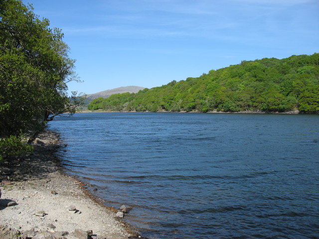
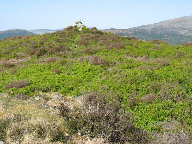
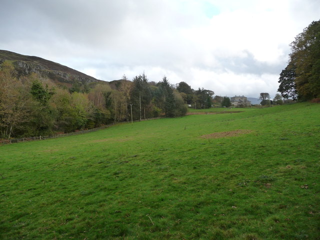
Coed Gwanwyr, located in Merionethshire, Wales, is a picturesque wood or forest renowned for its natural beauty and diverse wildlife. Covering an area of approximately 500 hectares, it is a popular destination for nature enthusiasts, walkers, and those seeking tranquility.

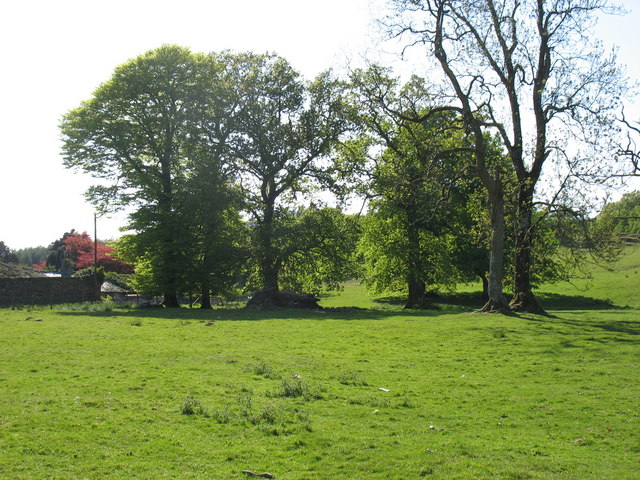
The woodland consists mainly of deciduous and coniferous trees, creating a rich and vibrant ecosystem. Species such as oak, beech, and birch dominate the landscape, while spruce and pine provide a contrasting evergreen canopy. The forest floor is adorned with a carpet of ferns, bluebells, and wildflowers during the spring and summer months.

This wooded area is home to a wide variety of wildlife, making it an important site for conservation. Red squirrels can be spotted darting between the trees, while badgers, foxes, and rabbits can be seen foraging in the undergrowth. Birdwatchers can catch a glimpse of species such as buzzards, woodpeckers, and tawny owls, which nest within the forest.

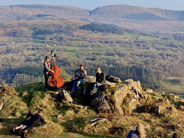
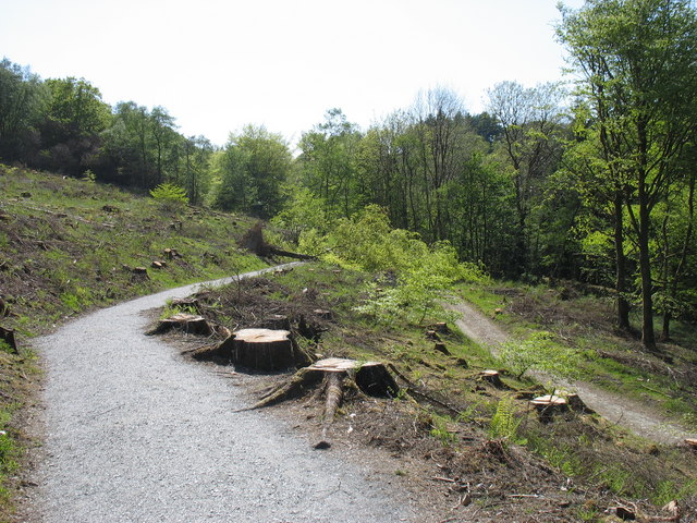
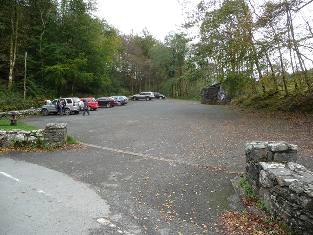
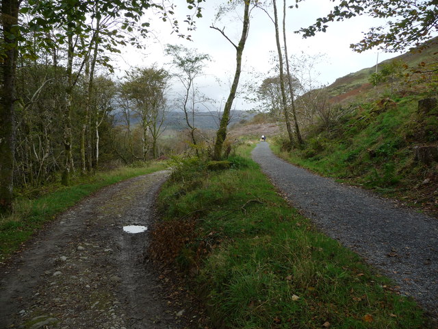
Coed Gwanwyr offers a network of well-maintained footpaths and trails, allowing visitors to explore its natural wonders at their own pace. The peaceful atmosphere and stunning views make it an ideal location for picnics or simply reconnecting with nature.

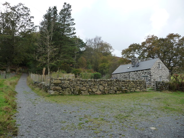
In addition to its natural beauty, Coed Gwanwyr has historical significance as well. The woodland has been managed sustainably for centuries, and remnants of old charcoal platforms can still be found, showcasing its past as a source of fuel for local industries.

Overall, Coed Gwanwyr is a captivating woodland that offers a unique glimpse into the natural wonders of Merionethshire. Its combination of scenic beauty, diverse wildlife, and historical significance make it a must-visit destination for nature lovers and history enthusiasts alike.

If you have any feedback on the listing, please let us know in the comments section below.
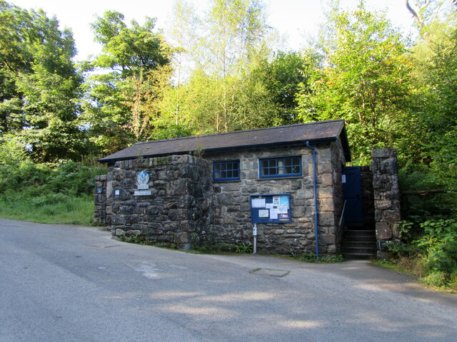
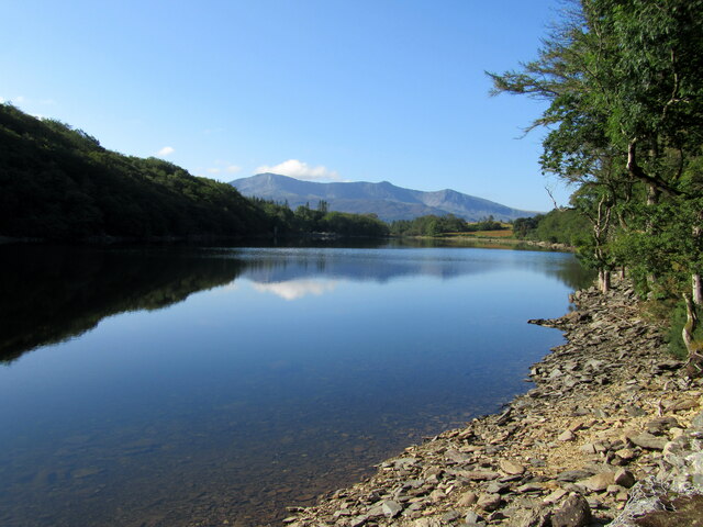
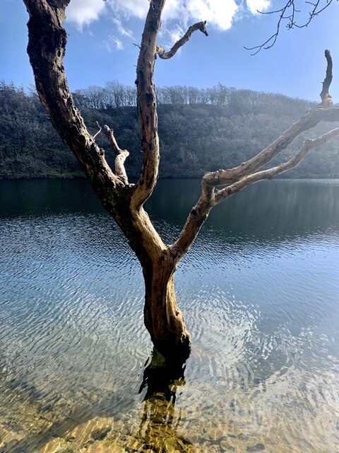
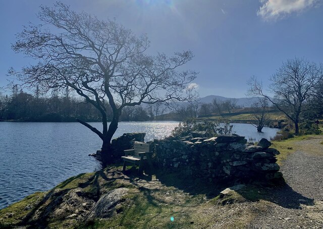
Coed Gwanwyr Images

Images are sourced within 2km of 52.76352/-3.8548729 or Grid Reference SH7420. Thanks to Geograph Open Source API. All images are credited.

Public Conveniences Provided by Snowdonia National park in the Precipice Walk car park.
Public Conveniences
Provided by Snowdonia National park in the Precipice Walk car park.
Llyn Cynwch Cader Idris in the background.
Llyn Cynwch
Cader Idris in the background.
Llyn Cynwch Ar y Llwybr Cynwch / On the Precipice Walk.
Llyn Cynwch
Ar y Llwybr Cynwch / On the Precipice Walk.
Llyn Cynwch & Cadair Idris A place to linger on the famous Precipice Walk.
Llyn Cynwch & Cadair Idris
A place to linger on the famous Precipice Walk.
Llywbr a Llyn Cynwch The Precipice Walk alongside Llyn Cynwch.
Llywbr a Llyn Cynwch
The Precipice Walk alongside Llyn Cynwch.
Canu yn yr awyr agored An album launch (by the very talented Osian Morris, centre) on a crag on the side of Foel Offwrm as the sun went down.
Canu yn yr awyr agored
An album launch (by the very talented Osian Morris, centre) on a crag on the side of Foel Offwrm as the sun went down.
Machlud yr haul ar Foel Offrwmm Sunset from the path around Foel Offrwm, with Cadair Idris in the distance.
Machlud yr haul ar Foel Offrwmm
Sunset from the path around Foel Offrwm, with Cadair Idris in the distance.
The A494 north approaching junction for Brithdir
Llyn Cynwch
Llyn Cynwch
The summit cairn on Foel Cynwch The well-known Precipice Walk encircles this summit, but few walkers seem to venture to the top of the hill.
The summit cairn on Foel Cynwch
The well-known Precipice Walk encircles this summit, but few walkers seem to venture to the top of the hill.
Start of the Precipice Walk The only tree to have avoided the axe appears to have decided on hara-kiri, and fallen across the path!
Start of the Precipice Walk
The only tree to have avoided the axe appears to have decided on hara-kiri, and fallen across the path!
Field by Nannau Home Farm
National Park car park near Nannau Also known as The Precipice Walk car park.
National Park car park near Nannau
Also known as The Precipice Walk car park.
Paths leading to and from the Precipice Walk A popular walk with all sorts of walkers.
Paths leading to and from the Precipice Walk
A popular walk with all sorts of walkers.
Renovated cottage near the Precipice Walk Possibly a holiday cottage associated with the nearby hotel. Nice anyway.
Renovated cottage near the Precipice Walk
Possibly a holiday cottage associated with the nearby hotel. Nice anyway.
View towards the Nannau estate hotel Looks nice from a distance.
View towards the Nannau estate hotel
Looks nice from a distance.
Part of the Precipice Walk The sun shines on the Afon Wnion in the valley below.
Part of the Precipice Walk
The sun shines on the Afon Wnion in the valley below.
Part of the Precipice Walk The walk has good views down into the valley below and is fast and fun to walk.
Part of the Precipice Walk
The walk has good views down into the valley below and is fast and fun to walk.
Show me another place!

Coed Gwanwyr is located at Grid Ref: SH7420 (Lat: 52.76352, Lng: -3.8548729)

Unitary Authority: Gwynedd

Police Authority: North Wales

What 3 Words

///series.bandwagon.prepped. Near Dolgellau, Gwynedd

Related Wikis

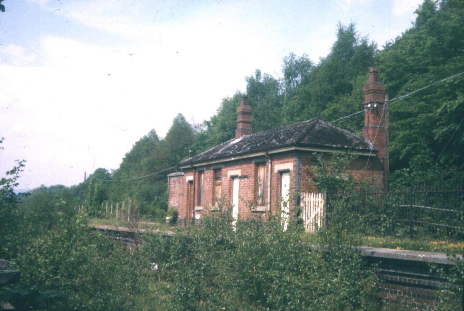
Dolserau Halt railway station

Dolserau Halt (Pron: Dol-seh-rye) in Gwynedd, Wales, was on the Ruabon to Barmouth line. The platform edge was made of timber and was situated on the north...

Nannau, Wales

Nannau (Welsh for 'the place of many streams'') is a Georgian mansion and estate near the village of Llanfachreth, Gwynedd, North Wales, UK. The mansion...

Meirionnydd

Meirionnydd is a coastal and mountainous region of Wales. It has been a kingdom, a cantref, a district and, as Merionethshire, a county. == Kingdom... ==

Bont Newydd railway station

Bont Newydd railway station (sometimes shown as Bontnewydd) in Gwynedd, Wales, was a station on the now-closed Ruabon to Barmouth line. Originally a single...

Nearby Amenities

Located within 500m of 52.76352,-3.8548729
Barrier: stile
Source: GPS survey
Lat/Long: 52.7650384/-3.8618026
The data included in this document is from www.openstreetmap.org. The data is made available under ODbL.

Have you been to Coed Gwanwyr?

Leave your review of Coed Gwanwyr below (or comments, questions and feedback).