Coed Bedd-y-coedwr
Wood, Forest in Merionethshire
Wales
Coed Bedd-y-coedwr

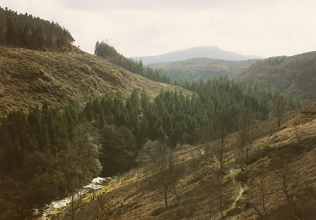
Coed Bedd-y-coedwr is a picturesque woodland located in the county of Merionethshire, Wales. Situated near the village of Beddgelert, it covers an area of approximately 100 hectares. The name itself translates to "Wood of the Graveyard of the Woodcutter" in English, reflecting the historical connection to forestry activities in the area.
The woodland boasts a diverse range of trees, including oak, birch, and rowan, creating a rich and vibrant ecosystem. It is home to a variety of wildlife, such as red squirrels, badgers, and a wide array of bird species, making it a popular destination for nature enthusiasts and birdwatchers.
Coed Bedd-y-coedwr has a tranquil and serene atmosphere, offering visitors a chance to escape the hustle and bustle of everyday life. It features well-maintained footpaths that wind through the forest, providing opportunities for leisurely walks and exploring the natural beauty of the surroundings.
Additionally, the woodland has a fascinating history, with evidence of ancient settlements and burial sites dating back centuries. Visitors can discover remnants of stone structures and learn about the area's cultural and archaeological significance.
Coed Bedd-y-coedwr is easily accessible, with parking facilities available nearby. It is a cherished local attraction and provides a peaceful retreat for those seeking a connection to nature and a glimpse into the area's past.
If you have any feedback on the listing, please let us know in the comments section below.
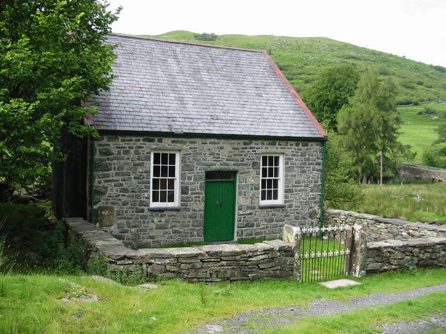
Coed Bedd-y-coedwr Images
Images are sourced within 2km of 52.839603/-3.8586936 or Grid Reference SH7428. Thanks to Geograph Open Source API. All images are credited.


Coed Bedd-y-coedwr is located at Grid Ref: SH7428 (Lat: 52.839603, Lng: -3.8586936)
Unitary Authority: Gwynedd
Police Authority: North Wales
What 3 Words
///cocktail.brass.shadowing. Near Bronaber, Gwynedd
Nearby Locations
Related Wikis
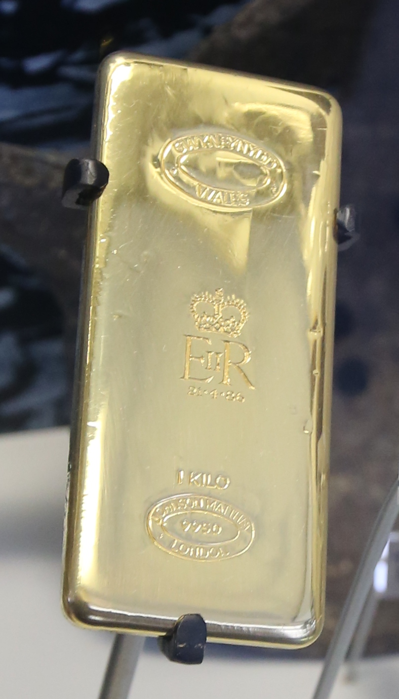
Gwynfynydd Gold Mine
Gwynfynydd Gold Mine is near Ganllwyd, Dolgellau, Gwynedd, Wales. The lode, which was discovered in 1860, was worked from 1884. It has produced more than...

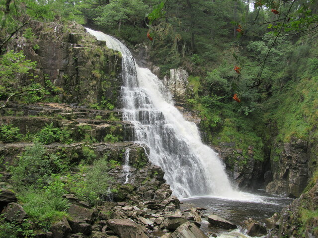
Pistyll Cain
Pistyll Cain, also written as Pistill Cain and Pistill Y Caen, is a renowned waterfall in Meirionnydd (Sir Feirionnydd) in north Wales. It lies north-east...

Merionethshire
Until 1974, Merionethshire or Merioneth (Welsh: Meirionnydd or Sir Feirionnydd) was an administrative county in the north-west of Wales, later classed...
Abergeirw
Abergeirw is a hamlet located in Gwynedd, North Wales. The village of nine properties is located between Dolgellau and Trawsfynydd. On 19 December 2008...
Nearby Amenities
Located within 500m of 52.839603,-3.8586936Have you been to Coed Bedd-y-coedwr?
Leave your review of Coed Bedd-y-coedwr below (or comments, questions and feedback).