Coed y Môch
Wood, Forest in Merionethshire
Wales
Coed y Môch
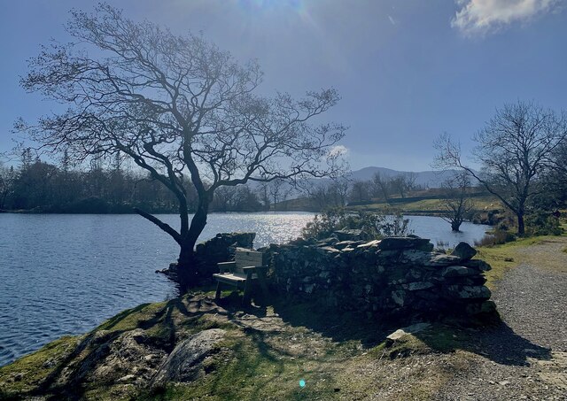
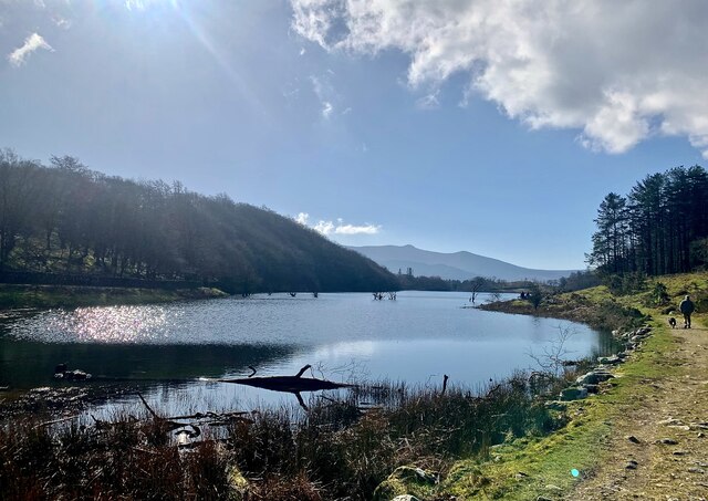
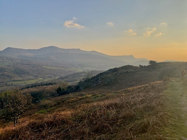
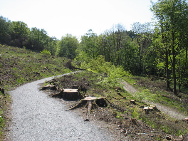
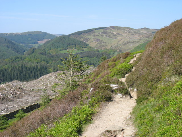
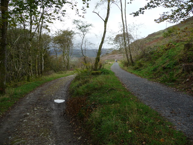
Coed y Môch, located in Merionethshire, is a stunning woodland area of approximately 1,000 acres in the northwest region of Wales. The name "Coed y Môch" translates to "Wood, Forest" in English, perfectly capturing the essence of this natural haven.
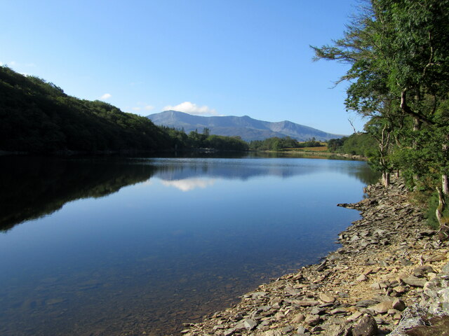
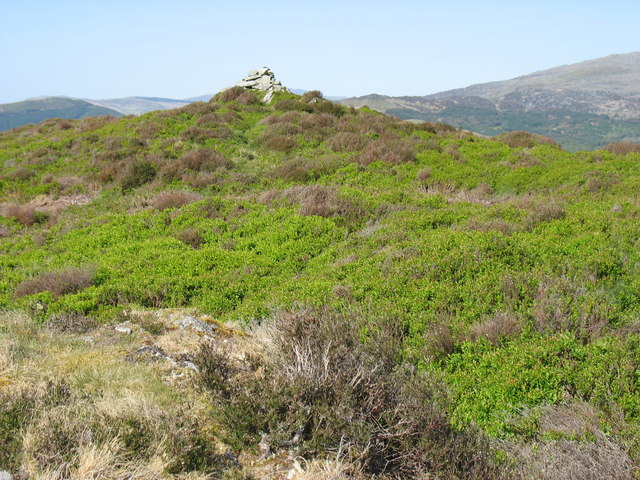
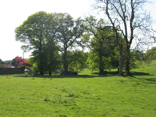
The woodland boasts a diverse range of tree species, including oak, birch, rowan, and pine, creating a rich tapestry of colors throughout the year. In the spring and summer months, the forest is adorned with vibrant wildflowers, such as bluebells and primroses, adding to its scenic beauty.
Coed y Môch is not just a treat for the eyes, but also a sanctuary for various wildlife species. It is home to a wide array of bird species, including buzzards, woodpeckers, and owls. The forest also provides a habitat for elusive mammals like badgers, foxes, and deer.
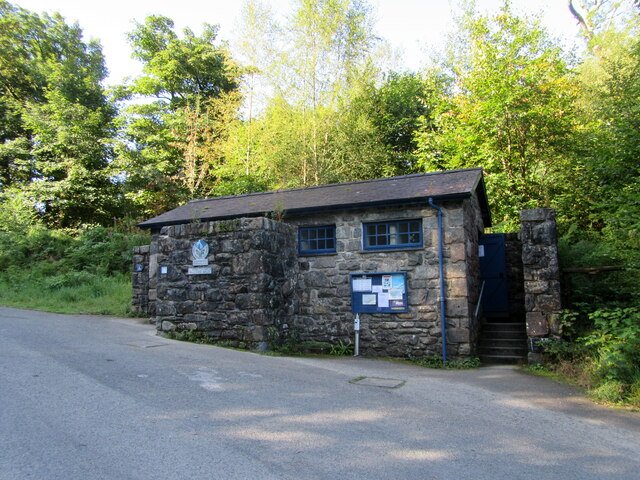
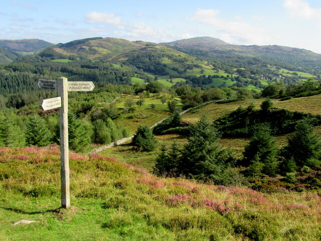
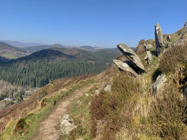
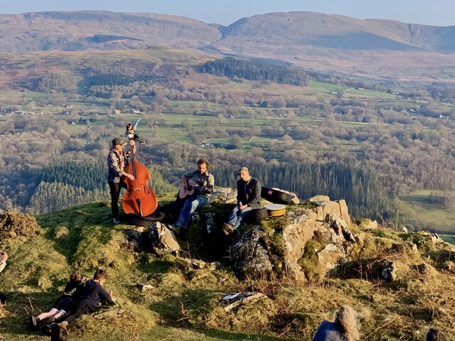
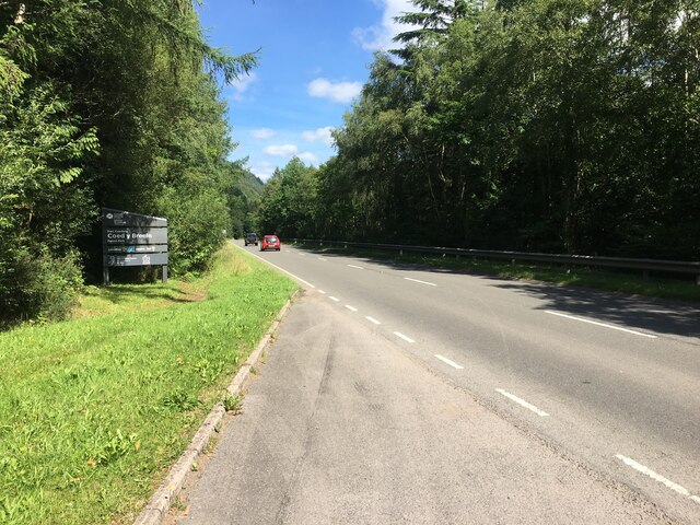
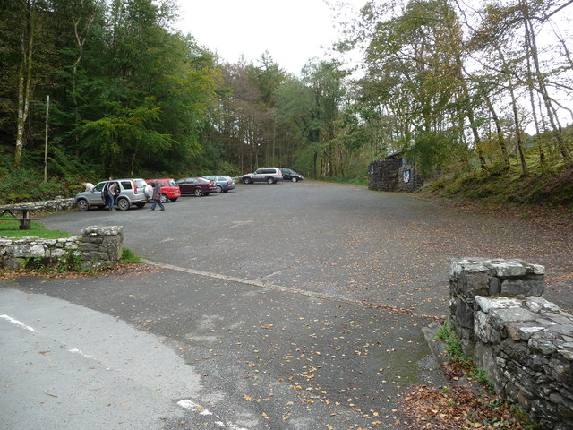
Visitors to Coed y Môch can explore the woodland through a network of well-maintained footpaths and trails. These paths allow hikers to immerse themselves in the natural surroundings while taking in breathtaking views of the Welsh countryside. The forest is also a popular destination for birdwatchers, photographers, and nature enthusiasts seeking tranquility and a connection with the outdoors.
Managed by the Forestry Commission, Coed y Môch plays a vital role in conservation efforts, ensuring the preservation of its unique ecosystem for future generations. It offers a wonderful opportunity for people to escape the hustle and bustle of everyday life and indulge in the serenity and beauty of nature.
If you have any feedback on the listing, please let us know in the comments section below.
Coed y Môch Images
Images are sourced within 2km of 52.766116/-3.8664856 or Grid Reference SH7420. Thanks to Geograph Open Source API. All images are credited.

Coed y Môch is located at Grid Ref: SH7420 (Lat: 52.766116, Lng: -3.8664856)
Unitary Authority: Gwynedd
Police Authority: North Wales
What 3 Words
///armed.perfected.roughness. Near Dolgellau, Gwynedd
Nearby Locations
Related Wikis

Nannau, Wales
Nannau (Welsh for 'the place of many streams'') is a Georgian mansion and estate near the village of Llanfachreth, Gwynedd, North Wales, UK. The mansion...

Dolserau Halt railway station
Dolserau Halt (Pron: Dol-seh-rye) in Gwynedd, Wales, was on the Ruabon to Barmouth line. The platform edge was made of timber and was situated on the north...

Cymer Abbey
Cymer Abbey (Welsh: Abaty Cymer) is a ruined Cistercian abbey near the village of Llanelltyd, just north of Dolgellau, Gwynedd, in north-west Wales, United...

Dolgellau transmitting station
The Dolgellau transmitting station is a broadcasting and telecommunications facility located on a hill about 1 km north of the town of Dolgellau, in Gwynedd...

Meirionnydd
Meirionnydd is a coastal and mountainous region of Wales. It has been a kingdom, a cantref, a district and, as Merionethshire, a county. == Kingdom... ==
Llanfachreth
Llanfachreth is a settlement approximately three miles north-east of Dolgellau, Gwynedd, in the community of Brithdir and Llanfachreth within the historic...

Dolgellau railway station
Dolgellau railway station (Welsh pronunciation: [dɔlˈɡɛɬaɨ]) in Gwynedd, North Wales, was a station on the Ruabon to Barmouth line, originally the terminus...

Hengwrt
Hengwrt (English: Old Court) was a mansion near Dolgellau in Meirionnydd, Gwynedd. It lay in the parish of Llanelltyd near the confluence of the River...
Nearby Amenities
Located within 500m of 52.766116,-3.8664856Have you been to Coed y Môch?
Leave your review of Coed y Môch below (or comments, questions and feedback).