Nannerch

Settlement in Flintshire

Wales

Nannerch

A541 near Nannerch The A541 runs for 26 miles, linking St Asaph with Wrexham. Its northern end starts at the crossroads in the middle of the village of Trefnant (just south of St Asaph). It ends at Wrexham, where it joins the B5101 road. On the way, it passes the town of Mold and also passes through many villages.
A541 near Nannerch Credit: David Dixon

Nannerch is a small village located in the county of Flintshire, in the northeastern part of Wales, United Kingdom. Situated on the outskirts of the Clwydian Range Area of Outstanding Natural Beauty, it is surrounded by picturesque landscapes and rolling hills, making it an ideal destination for nature enthusiasts.

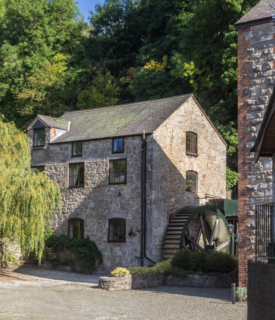
With a population of around 500 people, Nannerch maintains a close-knit and friendly community atmosphere. The village is known for its charming and well-preserved traditional Welsh architecture, featuring a mix of cottages and stone-built houses. The local St. Michael's Church, dating back to the 13th century, is a notable landmark that adds to the village's historic appeal.

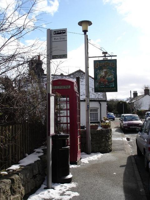
Although small in size, Nannerch offers a range of amenities to its residents and visitors. The village boasts a primary school, village hall, and a welcoming pub, providing essential services and spaces for social gatherings. Additionally, Nannerch is home to a vibrant community center that hosts various events and activities throughout the year, fostering a strong sense of community spirit.

Nannerch's proximity to the Clwydian Range provides ample opportunities for outdoor activities, such as hiking, cycling, and horse riding, attracting nature lovers and adventure seekers alike. The area is also renowned for its rich biodiversity, with an abundance of flora and fauna.

Overall, Nannerch encapsulates the beauty of a traditional Welsh village, offering a tranquil and idyllic setting for residents and visitors to enjoy the stunning natural surroundings and experience the warmth of a close community.

If you have any feedback on the listing, please let us know in the comments section below.
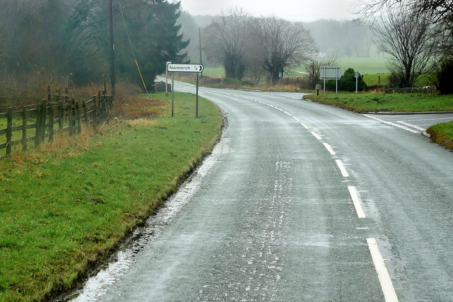
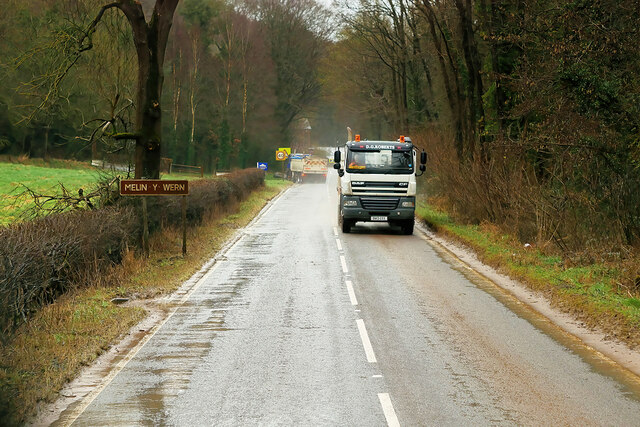
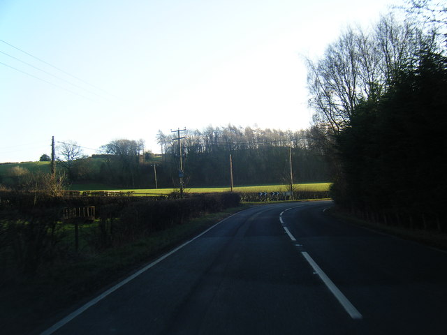
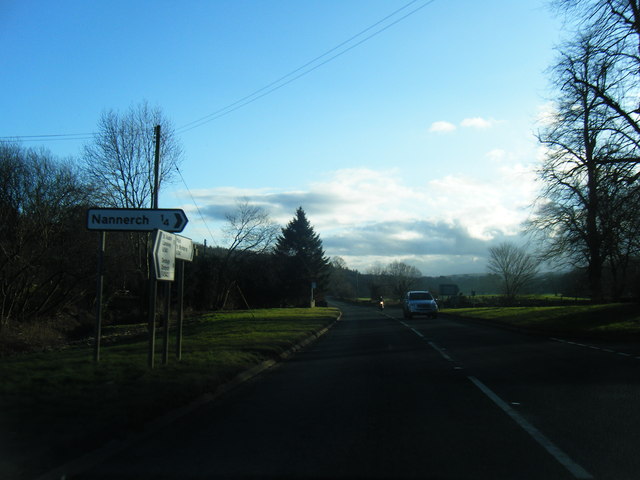
Nannerch Images

Images are sourced within 2km of 53.216271/-3.250476 or Grid Reference SJ1669. Thanks to Geograph Open Source API. All images are credited.

A541 near Nannerch The A541 runs for 26 miles, linking St Asaph with Wrexham. Its northern end starts at the crossroads in the middle of the village of Trefnant (just south of St Asaph). It ends at Wrexham, where it joins the B5101 road. On the way, it passes the town of Mold and also passes through many villages.
A541 near Nannerch
The A541 runs for 26 miles, linking St Asaph with Wrexham. Its northern end starts at the crossroads in the middle of the village of Trefnant (just south of St Asaph). It ends at Wrexham, where it joins the B5101 road. On the way, it passes the town of Mold and also passes through many villages.
A541, Nannerch The A541 runs for 26 miles, linking St Asaph with Wrexham. Its northern end starts at the crossroads in the middle of the village of Trefnant (just south of St Asaph). It ends at Wrexham, where it joins the B5101 road. On the way, it passes the town of Mold and also passes through many villages.
A541, Nannerch
The A541 runs for 26 miles, linking St Asaph with Wrexham. Its northern end starts at the crossroads in the middle of the village of Trefnant (just south of St Asaph). It ends at Wrexham, where it joins the B5101 road. On the way, it passes the town of Mold and also passes through many villages.
A451 east of Nannerch The A541 runs for 26 miles, linking St Asaph with Wrexham. Its northern end starts at the crossroads in the middle of the village of Trefnant (just south of St Asaph). It ends at Wrexham, where it joins the B5101 road. On the way, it passes the town of Mold and also passes through many villages.
A451 east of Nannerch
The A541 runs for 26 miles, linking St Asaph with Wrexham. Its northern end starts at the crossroads in the middle of the village of Trefnant (just south of St Asaph). It ends at Wrexham, where it joins the B5101 road. On the way, it passes the town of Mold and also passes through many villages.
Junction of farm tracks
Tractor tracks along field edge
A541, Melin y Wern The A541 runs for 26 miles, linking St Asaph with Wrexham. Its northern end starts at the crossroads in the middle of the village of Trefnant (just south of St Asaph). It ends at Wrexham, where it joins the B5101 road. On the way, it passes the town of Mold and also passes through many villages.
A541, Melin y Wern
The A541 runs for 26 miles, linking St Asaph with Wrexham. Its northern end starts at the crossroads in the middle of the village of Trefnant (just south of St Asaph). It ends at Wrexham, where it joins the B5101 road. On the way, it passes the town of Mold and also passes through many villages.
The Old Mill at Melin y Wern The large, three-storey building set back from the road is a late-Georgian, former mill. It is now used as self-catering holiday accommodation. Grade II-listed (Cadw reference: 529 <span class="nowrap"><a title="http://cadwpublic-api.azurewebsites.net/reports/listedbuilding/FullReport?lang=en&id=529" rel="nofollow ugc noopener" href="http://cadwpublic-api.azurewebsites.net/reports/listedbuilding/FullReport?lang=en&id=529">Link</a><img style="margin-left:2px;" alt="External link" title="External link - shift click to open in new window" src="https://s1.geograph.org.uk/img/external.png" width="10" height="10"/></span> ).
The Old Mill at Melin y Wern
The large, three-storey building set back from the road is a late-Georgian, former mill. It is now used as self-catering holiday accommodation. Grade II-listed (Cadw reference: 529 LinkExternal link ).
Lixwm village shop Located in the car park of the Crown Inn in what appears to be a former garage.
Lixwm village shop
Located in the car park of the Crown Inn in what appears to be a former garage.
A541 near Sarn Farm
A541 near Sarn Farm
A541 looking east
A541 looking east
Enclosed path Heading south east between fields from the junction of a footpath west of Lixwm
Enclosed path
Heading south east between fields from the junction of a footpath west of Lixwm
A541 near Nannerch
A541 near Nannerch
A541 south of Nannerch
A541 near Tardd-Y-Wyr
Melin y Wern The old mill at Melin y Wern.
Melin y Wern
The old mill at Melin y Wern.
Sarn Farm House alongside the A541 near Sarn Farm.
Sarn Farm
House alongside the A541 near Sarn Farm.
Minor road at Bryn-goleu-mawr Looking eastward.
Minor road at Bryn-goleu-mawr
Looking eastward.
Former Tollhouse by the A541, Nannerch Melin y Wern by the A541, in parish of Nannerch (Flintshire District), Bryn Rug, opposite "The Cherry Pie Inn" PH.

To be surveyed

Milestone Society National ID: FLT.NAN
Former Tollhouse by the A541, Nannerch
Melin y Wern by the A541, in parish of Nannerch (Flintshire District), Bryn Rug, opposite "The Cherry Pie Inn" PH. To be surveyed Milestone Society National ID: FLT.NAN
Show me another place!

Nannerch is located at Grid Ref: SJ1669 (Lat: 53.216271, Lng: -3.250476)

Unitary Authority: Flintshire

Police Authority: North Wales

What 3 Words

///elbowing.options.electric. Near Halkyn, Flintshire

Nearby Locations

Nannerch Wal-goch

Related Wikis

Nannerch

Nannerch is a village and community in Flintshire, Wales, located within the Clwydian Range and Dee Valley Area of Outstanding Natural Beauty. At the 2001...

Mold and Denbigh Junction Railway

The Mold and Denbigh Junction Railway was a railway company that built a 16-mile (26 km) railway line in North Wales. It formed a link between the Mold...

Nannerch railway station

Nannerch railway station was a station in Nannerch, Flintshire, Wales. The station was opened on 6 September 1869 and closed on 30 April 1962. == References... ==

Penbedw

Penbedw is a country estate near Nannerch, Flintshire, Wales. Penbedw Hall was demolished by developers some time after 1969.Its parks and gardens are...

Nearby Amenities

Located within 500m of 53.216271,-3.250476
Pub
The Cross Foxes Inn
Addr Postcode: CH7 5RD
Addr Street: Village Road
Fhrs Id: 534395
Source Addr: FHRS Open Data
Wikidata: Q80855425
Lat/Long: 53.2163783/-3.2500244
Nannerch
Place: village
Wikidata: Q6963824
Lat/Long: 53.2162347/-3.2503747
Direction: 170
Generator Method: photovoltaic
Generator Output Electricity: yes
Generator Solar Modules: 16
Generator Source: solar
Generator Type: solar_photovoltaic_panel
Location: roof
Power: generator
Lat/Long: 53.215161/-3.2522683
Direction: 260
Generator Method: photovoltaic
Generator Output Electricity: yes
Generator Solar Modules: 14
Generator Source: solar
Generator Type: solar_photovoltaic_panel
Location: roof
Power: generator
Lat/Long: 53.2153145/-3.2498912
Direction: 260
Generator Method: photovoltaic
Generator Output Electricity: yes
Generator Solar Modules: 14
Generator Source: solar
Generator Type: solar_photovoltaic_panel
Location: roof
Power: generator
Lat/Long: 53.2152317/-3.2498563
Direction: 260
Generator Method: photovoltaic
Generator Output Electricity: yes
Generator Solar Modules: 14
Generator Source: solar
Generator Type: solar_photovoltaic_panel
Location: roof
Power: generator
Lat/Long: 53.2150888/-3.2498678
Direction: 260
Generator Method: photovoltaic
Generator Output Electricity: yes
Generator Solar Modules: 14
Generator Source: solar
Generator Type: solar_photovoltaic_panel
Location: roof
Power: generator
Lat/Long: 53.215002/-3.2498463
Direction: 260
Generator Method: photovoltaic
Generator Output Electricity: yes
Generator Solar Modules: 14
Generator Source: solar
Generator Type: solar_photovoltaic_panel
Location: roof
Power: generator
Lat/Long: 53.2148595/-3.2498671
Direction: 260
Generator Method: photovoltaic
Generator Output Electricity: yes
Generator Solar Modules: 14
Generator Source: solar
Generator Type: solar_photovoltaic_panel
Location: roof
Power: generator
Lat/Long: 53.2147792/-3.2498349
Direction: SW
Generator Method: photovoltaic
Generator Output Electricity: yes
Generator Solar Modules: 26
Generator Source: solar
Generator Type: solar_photovoltaic_panel
Location: roof
Power: generator
Lat/Long: 53.2147189/-3.2494168
Direction: WSW
Generator Method: photovoltaic
Generator Output Electricity: yes
Generator Solar Modules: 16
Generator Source: solar
Generator Type: solar_photovoltaic_panel
Location: roof
Power: generator
Lat/Long: 53.2145046/-3.2514483
Direction: 170
Generator Method: photovoltaic
Generator Output Electricity: yes
Generator Solar Modules: 16
Generator Source: solar
Generator Type: solar_photovoltaic_panel
Location: roof
Power: generator
Lat/Long: 53.2180981/-3.2505986
Direction: 170
Generator Method: photovoltaic
Generator Output Electricity: yes
Generator Solar Modules: 16
Generator Source: solar
Generator Type: solar_photovoltaic_panel
Location: roof
Power: generator
Lat/Long: 53.2163885/-3.2489263
Direction: 100
Generator Method: photovoltaic
Generator Output Electricity: yes
Generator Solar Modules: 3
Generator Source: solar
Generator Type: solar_photovoltaic_panel
Location: roof
Power: generator
Lat/Long: 53.2167456/-3.2491033
Direction: 280
Generator Method: photovoltaic
Generator Output Electricity: yes
Generator Solar Modules: 3
Generator Source: solar
Generator Type: solar_photovoltaic_panel
Location: roof
Power: generator
Lat/Long: 53.216748/-3.2491328
Direction: 190
Generator Method: photovoltaic
Generator Output Electricity: yes
Generator Solar Modules: 10
Generator Source: solar
Generator Type: solar_photovoltaic_panel
Location: roof
Power: generator
Lat/Long: 53.2168018/-3.2491381
Direction: 80
Generator Method: photovoltaic
Generator Output Electricity: yes
Generator Solar Modules: 14
Generator Source: solar
Generator Type: solar_photovoltaic_panel
Location: roof
Power: generator
Lat/Long: 53.2153604/-3.2520095
Direction: 185
Generator Method: photovoltaic
Generator Output Electricity: yes
Generator Solar Modules: 9
Generator Source: solar
Generator Type: solar_photovoltaic_panel
Location: roof
Power: generator
Lat/Long: 53.2172202/-3.24992
Direction: SW
Generator Method: photovoltaic
Generator Output Electricity: yes
Generator Solar Modules: 6
Generator Source: solar
Generator Type: solar_photovoltaic_panel
Location: roof
Power: generator
Lat/Long: 53.2146372/-3.2493353
Booth: K6
Covered: booth
Disused Amenity: telephone
Listed Status: Grade II
Man Made: telephone_box
Tourism: information
Lat/Long: 53.2163017/-3.2503823
Shelter
Shelter Type: public_transport
Lat/Long: 53.2164345/-3.2503161
Post Box
Post Box Type: pillar
Royal Cypher: EIIR
Lat/Long: 53.2162985/-3.2505951
Defibrillator
Access: yes
Defibrillator Location: outside Nannerch Memorial Hall
Emergency: defibrillator
Indoor: no
Lat/Long: 53.2153031/-3.2505739
Advertising: board
Lat/Long: 53.2162953/-3.2506586
The data included in this document is from www.openstreetmap.org. The data is made available under ODbL.

Have you been to Nannerch?

Leave your review of Nannerch below (or comments, questions and feedback).