Nangreaves

Settlement in Lancashire

England

Nangreaves

WWII Lancashire: Ghost Signs of the Home Front  (16) -
Emergency Rendezvous Point, Walmersley Road, Bury, at junction with Mather Road

"ERP ---?"

Emergency Rendezvous Points (ERP) were designated places in the locality for the coordination of ARP and emergency services during civil emergencies, particularly for those services arriving from outside the area. The signs appear in a variety of designs, but most are diamond shapes framing the ERP locality number.

<a href="https://www.geograph.org.uk/photo/6945297">SD8013 : WWII Lancashire: Ghost Signs of the Home Front  (17)</a>
WWII Lancashire: Ghost Signs of the Home Front (16) Credit: Mike Searle

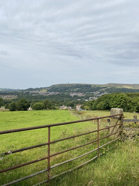
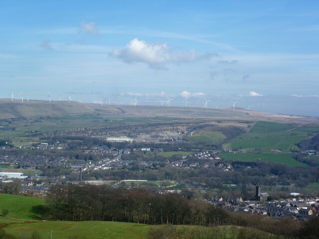
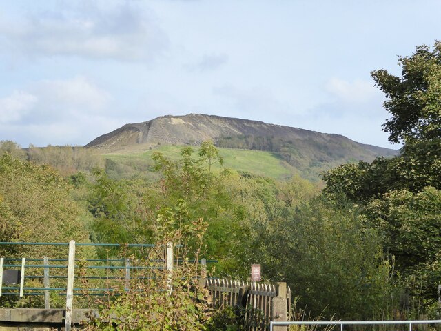
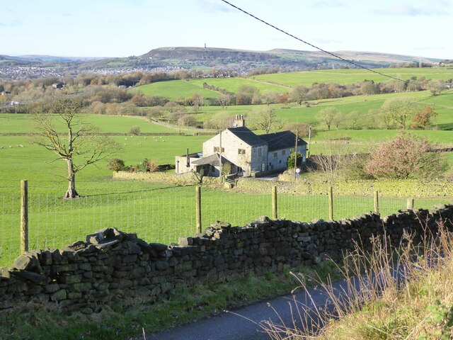
Nangreaves is a small village located in the county of Lancashire, England. It is situated approximately 2 miles northwest of Bury town center and falls within the Metropolitan Borough of Bury. The village is nestled amidst the beautiful rolling hills and countryside that characterize the region.

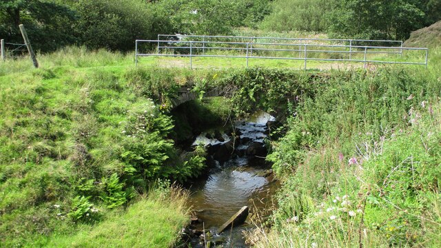
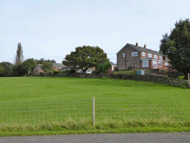
With a population of around 1,000 residents, Nangreaves offers a peaceful and tight-knit community atmosphere. The village is known for its picturesque landscapes, with lush green fields and charming cottages dotting the area. It provides a serene escape from the hustle and bustle of nearby urban centers.

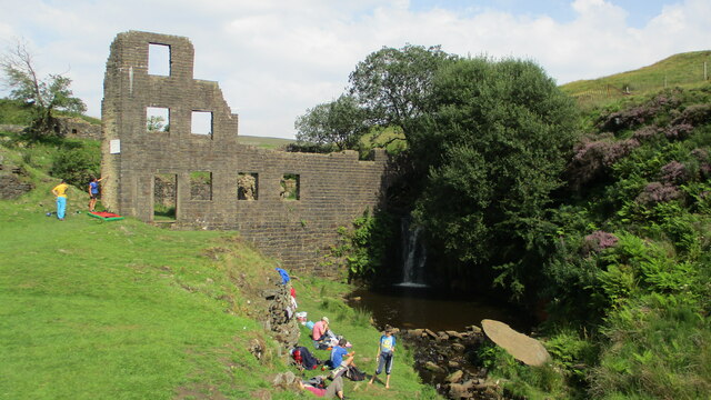
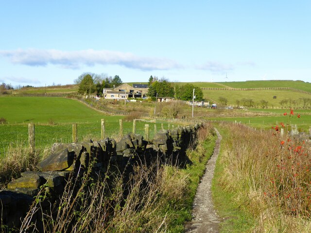
Despite its small size, Nangreaves boasts a rich history. The village can trace its roots back to medieval times when it was mentioned in documents dating back to the 13th century. The area was primarily agricultural, with farming playing a vital role in the local economy. Today, remnants of this heritage can still be seen in the village's traditional architecture and rural charm.

Nangreaves is well-connected to neighboring towns and cities via road networks, making it easily accessible for both residents and visitors. The village offers a range of amenities, including a local primary school, a community center, and a pub. Its tranquil surroundings make it an ideal destination for outdoor enthusiasts, with walking and cycling routes available in the nearby countryside.

In conclusion, Nangreaves is a quaint village in Lancashire that offers a peaceful and idyllic setting. Its rich history, close-knit community, and stunning countryside make it an attractive place to live or visit for those seeking a slower pace of life.

If you have any feedback on the listing, please let us know in the comments section below.
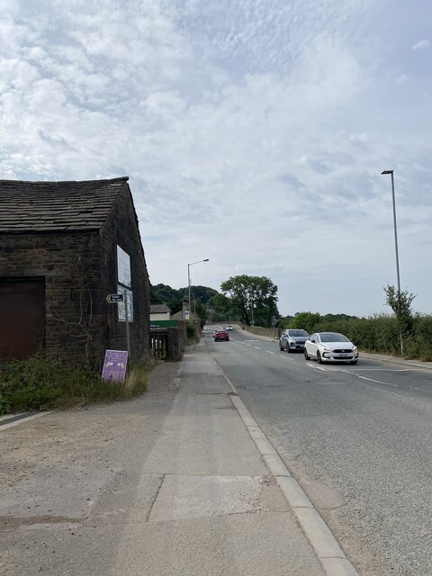
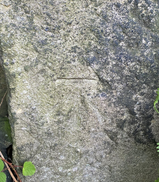
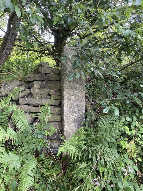
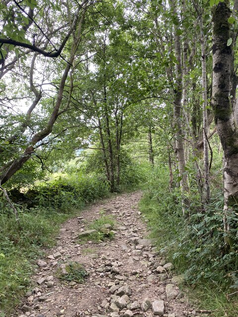
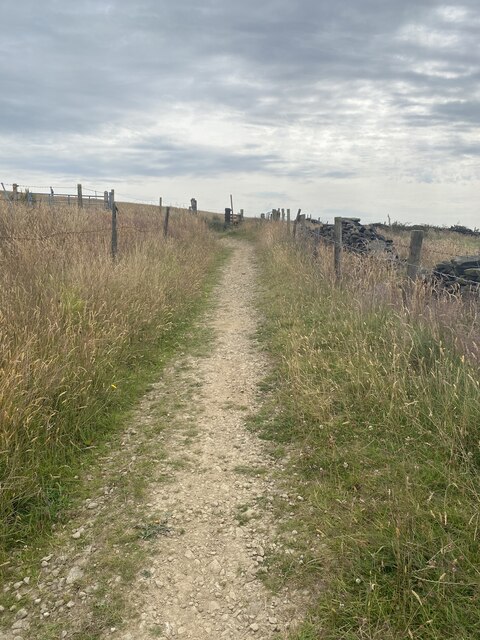
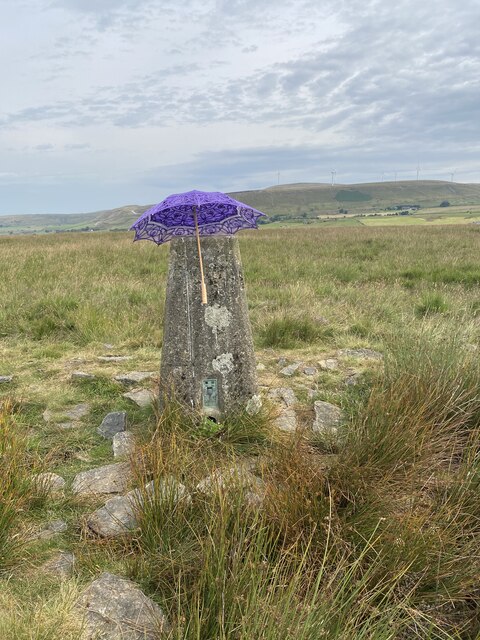
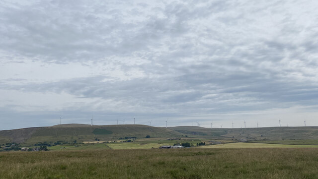
Nangreaves Images

Images are sourced within 2km of 53.63199/-2.289229 or Grid Reference SD8015. Thanks to Geograph Open Source API. All images are credited.

WWII Lancashire: Ghost Signs of the Home Front  (16) -
Emergency Rendezvous Point, Walmersley Road, Bury, at junction with Mather Road

"ERP ---?"

Emergency Rendezvous Points (ERP) were designated places in the locality for the coordination of ARP and emergency services during civil emergencies, particularly for those services arriving from outside the area. The signs appear in a variety of designs, but most are diamond shapes framing the ERP locality number.

<a href="https://www.geograph.org.uk/photo/6945297">SD8013 : WWII Lancashire: Ghost Signs of the Home Front  (17)</a>
WWII Lancashire: Ghost Signs of the Home Front (16)
- Emergency Rendezvous Point, Walmersley Road, Bury, at junction with Mather Road "ERP ---?" Emergency Rendezvous Points (ERP) were designated places in the locality for the coordination of ARP and emergency services during civil emergencies, particularly for those services arriving from outside the area. The signs appear in a variety of designs, but most are diamond shapes framing the ERP locality number. SD8013 : WWII Lancashire: Ghost Signs of the Home Front (17)
WWII Lancashire: Ghost Signs of the Home Front  (17) -
Emergency Rendezvous Point, Walmersley Road, Bury, at junction with Mather Road

"ERP ---?"

Emergency Rendezvous Points (ERP) were designated places in the locality for the coordination of ARP and emergency services during civil emergencies, particularly for those services arriving from outside the area. The signs appear in a variety of designs, but most are diamond shapes framing the ERP locality number.

<a href="https://www.geograph.org.uk/photo/6945304">SD7712 : WWII Lancashire: Ghost Signs of the Home Front  (18)</a>
WWII Lancashire: Ghost Signs of the Home Front (17)
- Emergency Rendezvous Point, Walmersley Road, Bury, at junction with Mather Road "ERP ---?" Emergency Rendezvous Points (ERP) were designated places in the locality for the coordination of ARP and emergency services during civil emergencies, particularly for those services arriving from outside the area. The signs appear in a variety of designs, but most are diamond shapes framing the ERP locality number. SD7712 : WWII Lancashire: Ghost Signs of the Home Front (18)
Longland Mill Bridge There is little left on the mill site apart from the mill pond
Longland Mill Bridge
There is little left on the mill site apart from the mill pond
Lumb Mill Remains
Lumb Mill Remains
A56, Peel Tower in the distance
OS Cut Mark - Ramsbottom, Whitelow Road Right of Way <span class="nowrap"><a title="https://www.bench-marks.org.uk/bm94166" rel="nofollow ugc noopener" href="https://www.bench-marks.org.uk/bm94166">Link</a><img style="margin-left:2px;" alt="External link" title="External link - shift click to open in new window" src="https://s1.geograph.org.uk/img/external.png" width="10" height="10"/></span>
OS Cut Mark - Ramsbottom, Whitelow Road Right of Way
Location of OS Cut Mark - Ramsbottom, Whitelow Road Right of Way
Lovely views
Lovely views
Right of way to Harden Moor A bit bumpy for my liking
Right of way to Harden Moor
A bit bumpy for my liking
Right of way to Harden Moor
Harden Moor Trig Point Flush Bracket S4553 Even trig pillars need shade in this heat!
Harden Moor Trig Point Flush Bracket S4553
Even trig pillars need shade in this heat!
Views North East from Harden Moor
Fletcher Bank Quarry above Ramsbottom View from Holcombe Hill on the path to Peel Tower. Scout Moor windfarm is on the skyline
Fletcher Bank Quarry above Ramsbottom
View from Holcombe Hill on the path to Peel Tower. Scout Moor windfarm is on the skyline
Quarry spoil heap An active quarry looming above the Irwell Valley
Quarry spoil heap
An active quarry looming above the Irwell Valley
The boundary between field and housing The on-set of housing at Walmersley seen from the road from Springside
The boundary between field and housing
The on-set of housing at Walmersley seen from the road from Springside
Bridleway to Cob House Nab
White Carr On White Carr Lane the access road for Walmersley Golf Course. On the sky line is Peel Tower.
White Carr
On White Carr Lane the access road for Walmersley Golf Course. On the sky line is Peel Tower.
Show me another place!

Nangreaves is located at Grid Ref: SD8015 (Lat: 53.63199, Lng: -2.289229)

Unitary Authority: Bury

Police Authority: Greater Manchester

What 3 Words

///inform.spenders.voted. Near Ramsbottom, Manchester

Related Wikis

Summerseat

Summerseat is a village in the Metropolitan Borough of Bury, Greater Manchester, England, directly south of Ramsbottom. == History == Historically part...

Summerseat railway station

Summerseat railway station is a preserved railway station that serves the village of Summerseat in Greater Manchester, England. It is part of the preserved...

Walmersley

Walmersley is a suburban village in the Metropolitan Borough of Bury, Greater Manchester, England. == History == Historically in Lancashire, the name Walmersley...

Ashworth Moor Reservoir

Ashworth Moor Reservoir is an upland water supply reservoir amongst the Pennines in Greater Manchester, England close to the A680 road between Rochdale...

Nearby Amenities

Located within 500m of 53.63199,-2.289229
Power: tower
Lat/Long: 53.6303393/-2.2889414
Power: tower
Lat/Long: 53.6307395/-2.285889
Power: tower
Lat/Long: 53.6312014/-2.2825272
Bus Stop
Walmersley Old Road/Mount Pleasant
Bus: yes
Naptan AtcoCode: 1800NC21071
Naptan Bearing: N
Naptan CommonName: Walmersley Old Road/Mount Pleasant
Naptan Indicator: Near Phone Box
Naptan Landmark: PHONE BOX
Naptan NaptanCode: mandpjtw
Naptan PlusbusZoneRef: MNCRPIC
Naptan ShortCommonName: Mount Pleasant
Naptan Street: WALM'SLEY OLD R
Naptan Verified: no
Network: TfGM
Public Transport: platform
Source: naptan_import
Lat/Long: 53.6308248/-2.2893171
Power: tower
Lat/Long: 53.629956/-2.291953
Booth: K6
Covered: booth
Man Made: telephone_box
Lat/Long: 53.6308548/-2.2893099
Post Box
Post Box Type: lamp
Royal Cypher: EIIR
Lat/Long: 53.6308707/-2.2893137
The data included in this document is from www.openstreetmap.org. The data is made available under ODbL.

Have you been to Nangreaves?

Leave your review of Nangreaves below (or comments, questions and feedback).