Park Wood
Wood, Forest in Lancashire
England
Park Wood

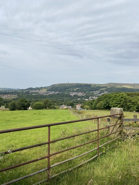
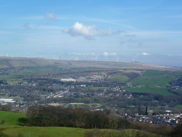
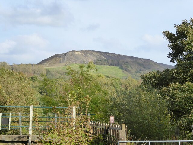
Park Wood is a beautiful and expansive forest located in the county of Lancashire, England. Situated near the town of Wood, it covers an area of approximately 500 acres and is known for its rich biodiversity and stunning natural landscapes.
The wood is predominantly composed of deciduous trees, including oak, beech, and ash, which provide a welcoming habitat for a variety of wildlife. Bird enthusiasts will be delighted to spot species such as woodpeckers, tits, and thrushes, while the forest floor is home to an array of small mammals, including squirrels and rabbits.
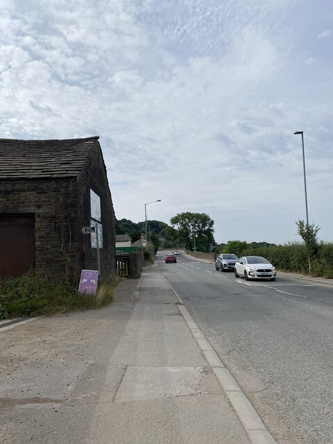
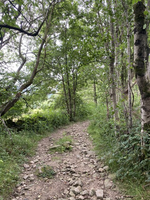
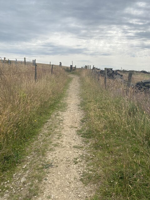
Visitors can explore Park Wood through a network of well-maintained walking trails, which offer a range of options for all abilities. These trails meander through the forest, passing by tranquil ponds, babbling brooks, and scenic viewpoints. The wood also boasts several picnic areas and benches, providing the perfect spot to relax and immerse oneself in the peaceful surroundings.
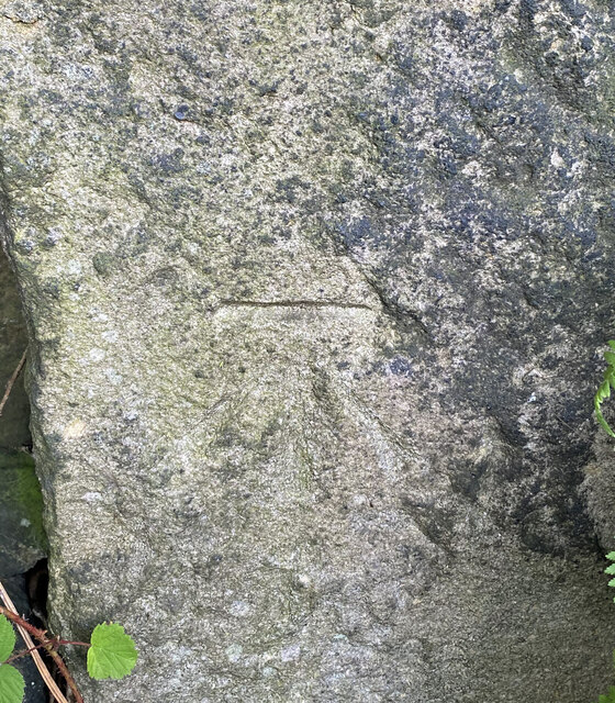
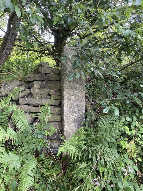
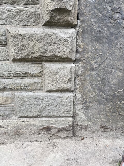
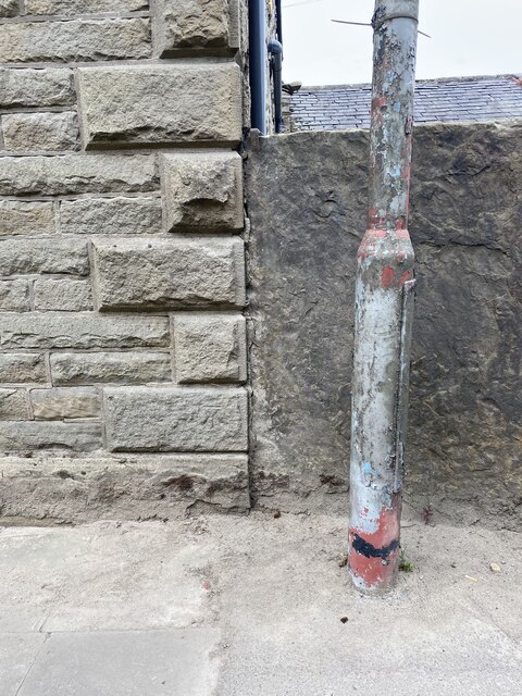
In addition to its natural beauty, Park Wood also has a rich history. It is believed that the wood was once part of a larger hunting ground used by nobility during medieval times. Today, remnants of this history can still be seen in the form of old stone walls and ruins scattered throughout the woodland.
Overall, Park Wood in Lancashire is a haven for nature lovers and outdoor enthusiasts. With its diverse flora and fauna, picturesque trails, and historical significance, it offers a truly immersive experience in the heart of nature.
If you have any feedback on the listing, please let us know in the comments section below.
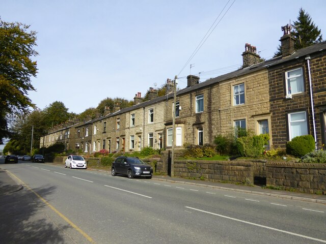
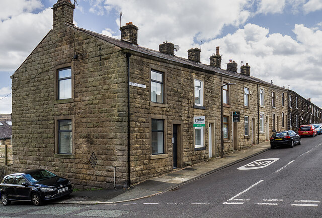
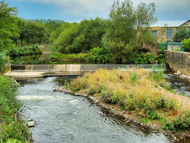
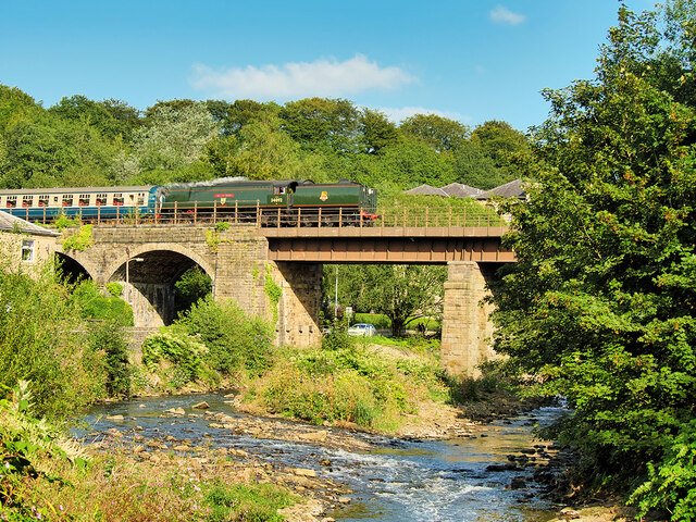
Park Wood Images
Images are sourced within 2km of 53.638435/-2.3016193 or Grid Reference SD8015. Thanks to Geograph Open Source API. All images are credited.

Park Wood is located at Grid Ref: SD8015 (Lat: 53.638435, Lng: -2.3016193)
Unitary Authority: Bury
Police Authority: Greater Manchester
What 3 Words
///improvise.commoners.prepares. Near Ramsbottom, Manchester
Nearby Locations
Related Wikis

Ramsbottom United F.C.
Ramsbottom United Football Club are an English football club based in Ramsbottom, Greater Manchester. Nicknamed "The Rams", they currently compete in the...

Summerseat
Summerseat is a village in the Metropolitan Borough of Bury, Greater Manchester, England, directly south of Ramsbottom. == History == Historically part...
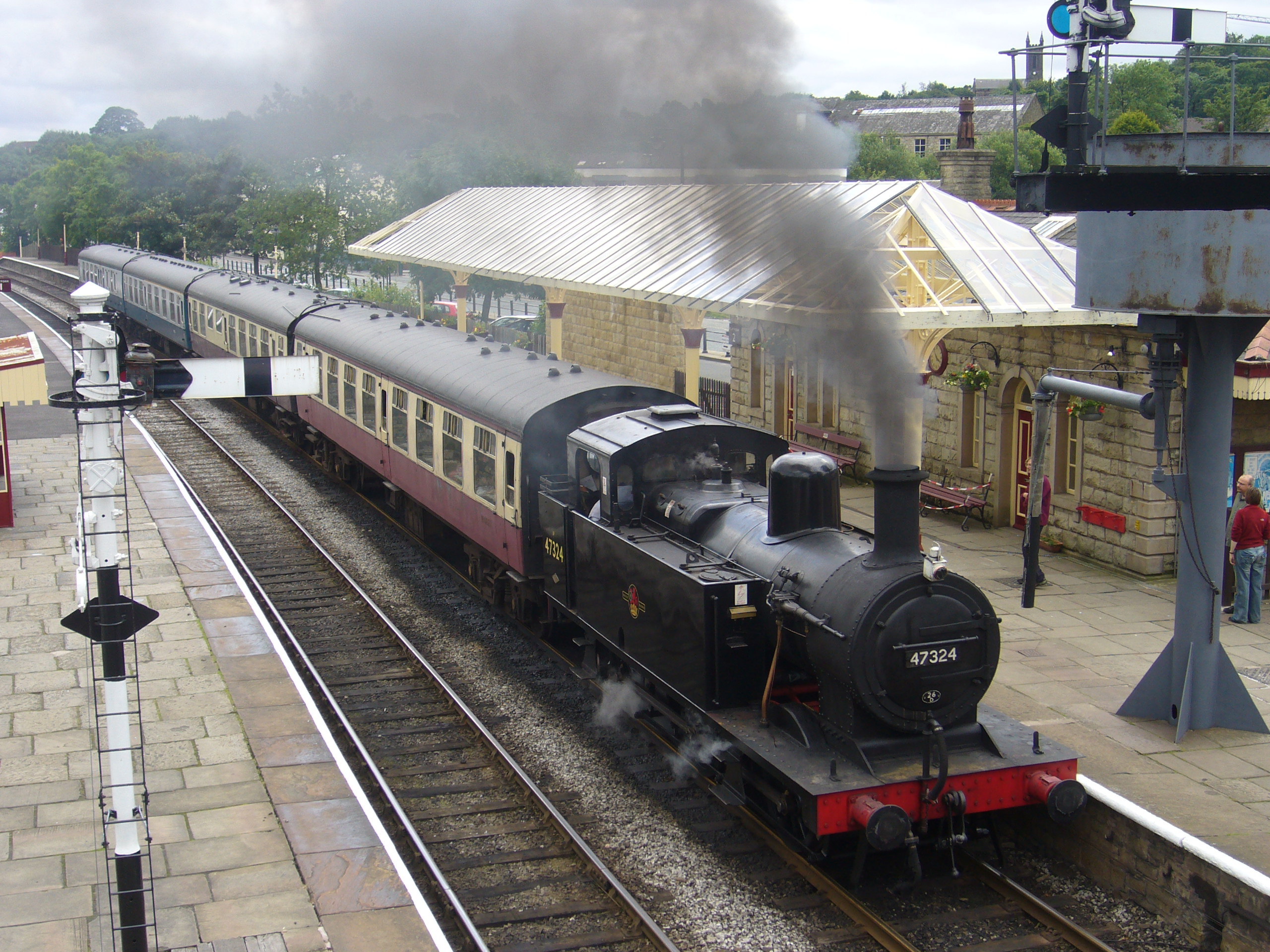
Ramsbottom railway station
Ramsbottom railway station is a heritage station serving the town of Ramsbottom in Greater Manchester, England. == History == The station was built by...

Summerseat railway station
Summerseat railway station is a preserved railway station that serves the village of Summerseat in Greater Manchester, England. It is part of the preserved...

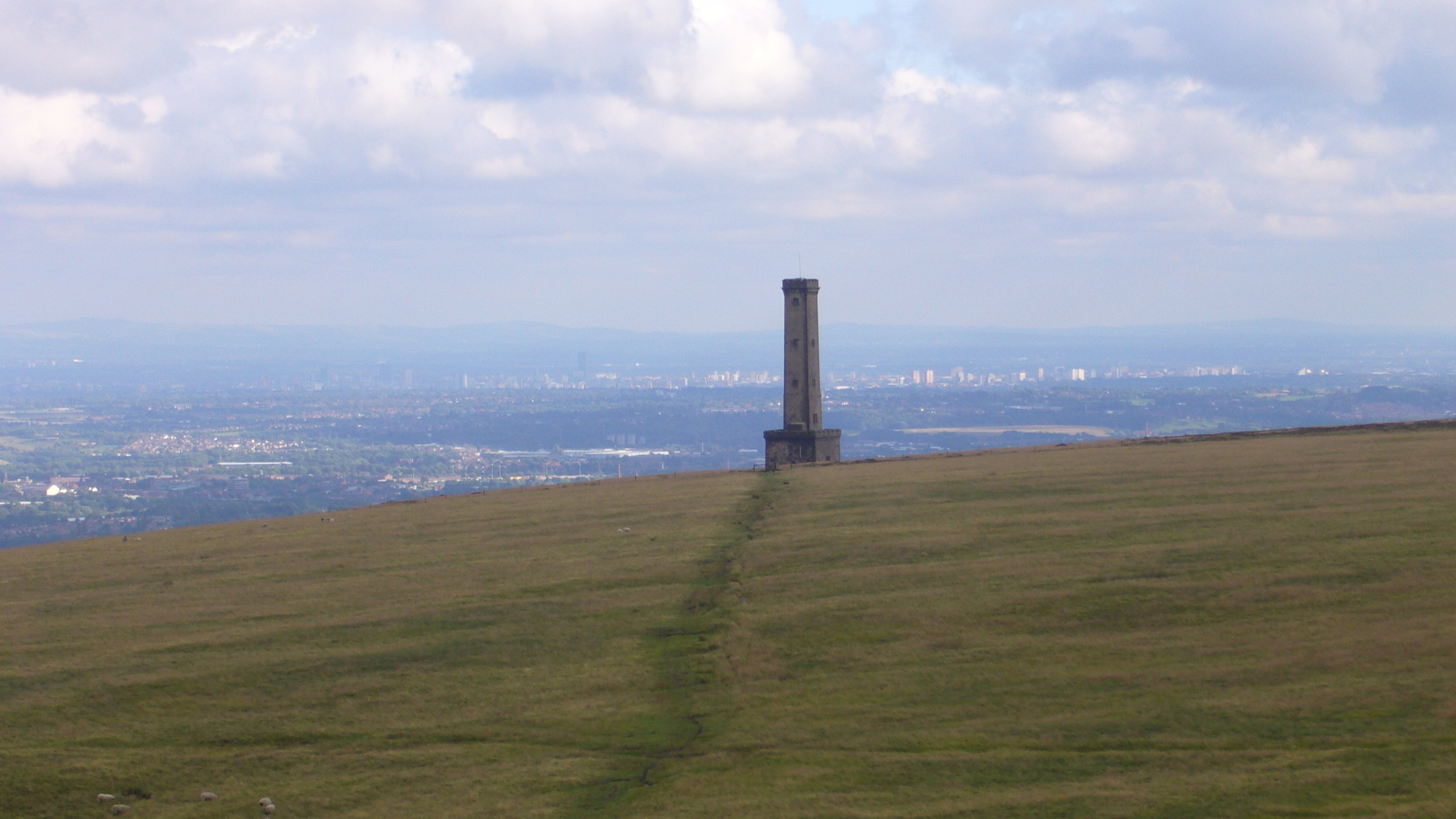
Ramsbottom
Ramsbottom is a market town in the Metropolitan Borough of Bury, Greater Manchester, England. The population at the 2011 census was 17,872.Historically...
Holcombe, Greater Manchester
Holcombe is a village in Ramsbottom ward, Metropolitan Borough of Bury, in Greater Manchester, England. It is situated south of Haslingden, east of Edgworth...

Shuttleworth, Greater Manchester
Shuttleworth is a hamlet at the northeastern extremity of the Metropolitan Borough of Bury, in Greater Manchester, England. It lies amongst the South Pennines...
Woodhey High School
Woodhey High School is a coeducational secondary school in Ramsbottom, in the Metropolitan Borough of Bury, Greater Manchester, England.Woodhey High School...
Nearby Amenities
Located within 500m of 53.638435,-2.3016193Have you been to Park Wood?
Leave your review of Park Wood below (or comments, questions and feedback).