Mossburnford
Settlement in Roxburghshire
Scotland
Mossburnford
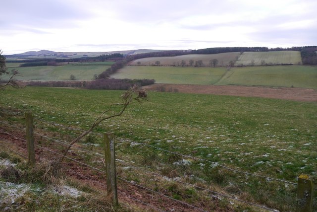
Mossburnford is a small rural village located in the county of Roxburghshire, within the Scottish Borders region of Scotland. Situated approximately 6 miles south of Hawick, the village is nestled amidst picturesque rolling hills and stunning countryside.
With a population of around 200 residents, Mossburnford offers a peaceful and tranquil setting for those seeking a quiet and rural lifestyle. The village primarily consists of traditional stone-built houses, giving it a charming and timeless appeal.
Although small in size, Mossburnford boasts a strong sense of community, with residents actively involved in various local initiatives and events. The village has a well-maintained village hall, which serves as a hub for social gatherings, meetings, and recreational activities.
In terms of amenities, Mossburnford has limited facilities within the village itself. However, the nearby town of Hawick offers a wider range of amenities, including supermarkets, shops, schools, and healthcare services. The village is well-connected to Hawick and other nearby towns through a network of roads, making it easily accessible for residents and visitors alike.
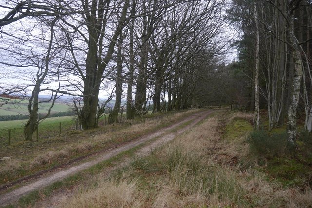
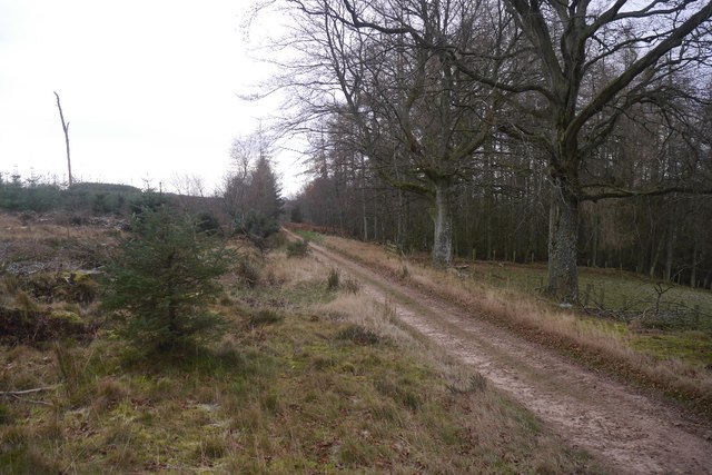
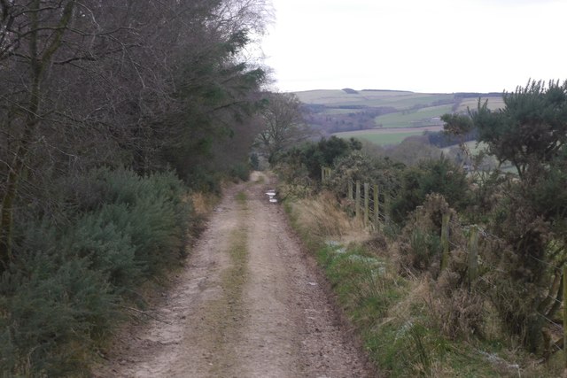
Nature enthusiasts will appreciate the scenic beauty surrounding Mossburnford. The area is ideal for outdoor activities such as walking, cycling, and fishing, with several nature trails and fishing spots within close proximity.
Overall, Mossburnford offers a peaceful and idyllic countryside living experience, providing a perfect retreat for those seeking a slower pace of life away from the bustling cities.
If you have any feedback on the listing, please let us know in the comments section below.
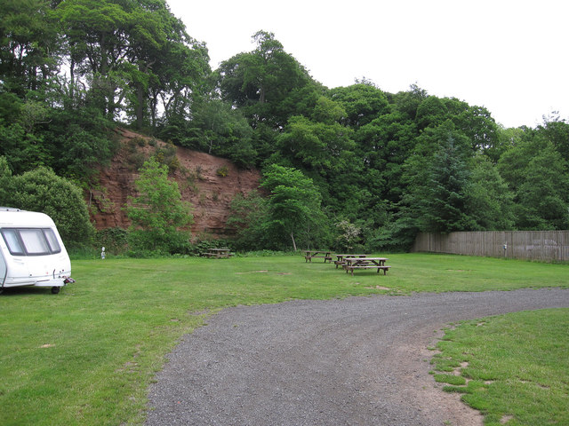
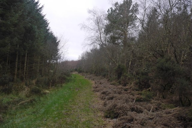
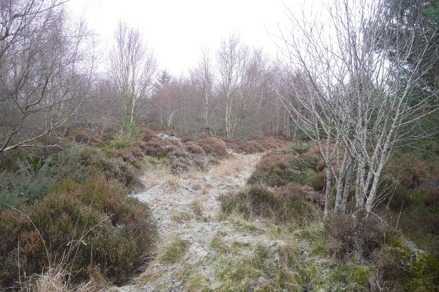
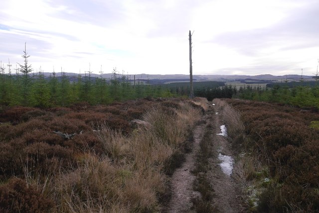
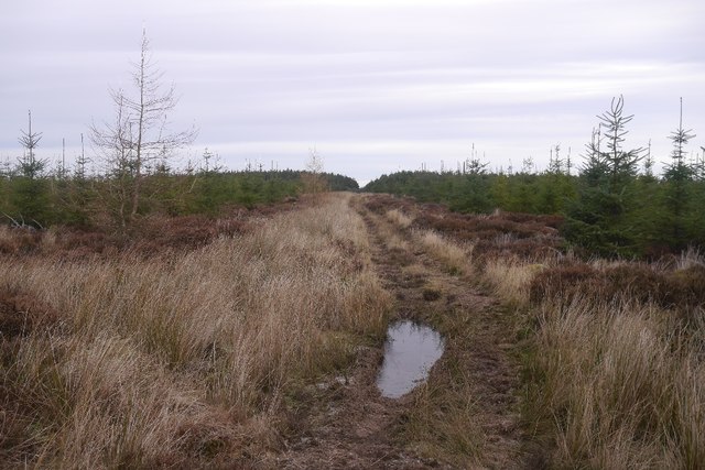
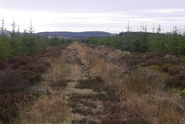
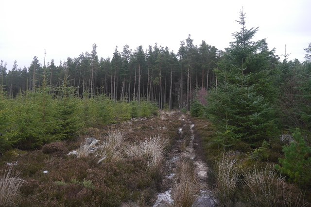
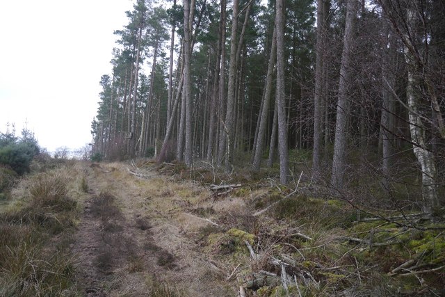
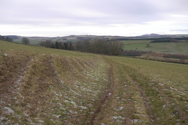
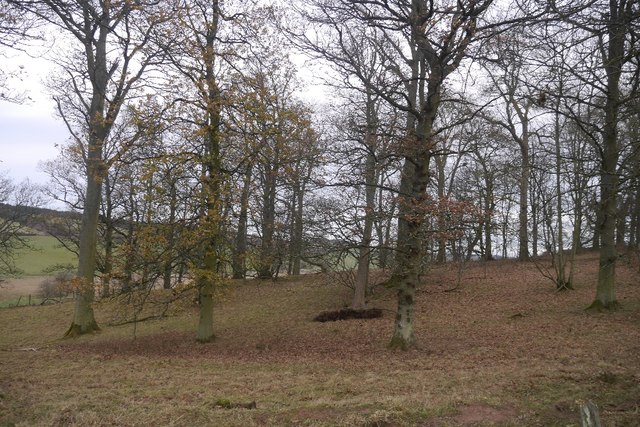
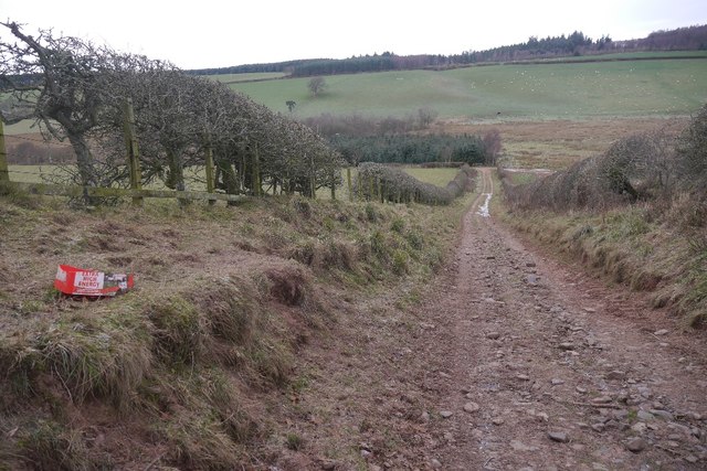
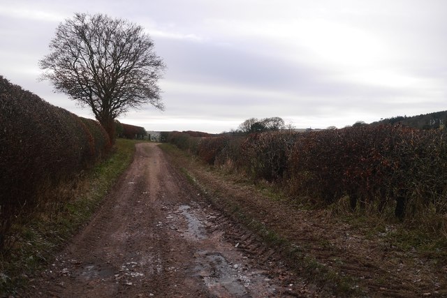
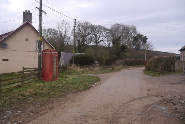
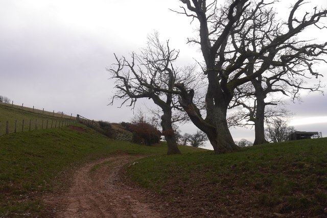
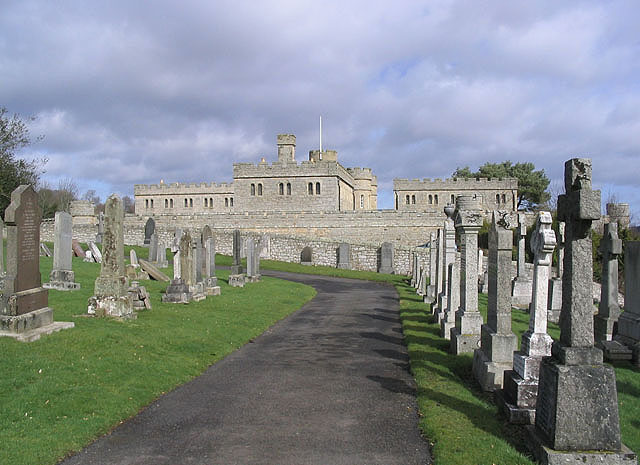
Mossburnford Images
Images are sourced within 2km of 55.440226/-2.5288352 or Grid Reference NT6616. Thanks to Geograph Open Source API. All images are credited.
Mossburnford is located at Grid Ref: NT6616 (Lat: 55.440226, Lng: -2.5288352)
Unitary Authority: The Scottish Borders
Police Authority: The Lothians and Scottish Borders
What 3 Words
///duties.advice.groups. Near Jedburgh, Scottish Borders
Nearby Locations
Related Wikis

Bairnkine
Bairnkine is a hamlet on the Jed Water in the Scottish Borders area of Scotland, on the A68, south of Jedburgh. Other places nearby include Abbotrule,...

Ferniehirst Castle
Ferniehirst Castle (sometimes spelled Ferniehurst) is an L-shaped construction on the east bank of the Jed Water, about a mile and a half south of Jedburgh...

Jedforest
Jedforest is an historic forest in the Scottish Borders, that has been heavily wooded in the past. It is close to Jed Water and the town of Jedburgh, from...

Capon Oak Tree
The Capon Oak Tree is one of the last surviving trees of the ancient Jedforest, close to Jed Water, a small river which has cut a course below soft sandstone...

Camptown, Scottish Borders
Camptown is a small settlement on the A68, in the Scottish Borders area of Scotland, 5m (8 km) south of Jedburgh, and the same distance south to Carter...

Oxnam
Oxnam (Scots: Owsenam) is a village near Jedburgh, in Roxburghshire in the Scottish Borders area of Scotland. It is a primarily residential village. The...
Jedburgh Castle
Jedburgh Castle was a castle at Jedburgh in Scotland. It was fought over during the Wars of Scottish Independence, and was demolished by the Scots commanded...

Jedburgh
Jedburgh (; Scottish Gaelic: Deadard; Scots: Jeddart or Jethart) is a town and former royal burgh in the Scottish Borders and the traditional county town...
Nearby Amenities
Located within 500m of 55.440226,-2.5288352Have you been to Mossburnford?
Leave your review of Mossburnford below (or comments, questions and feedback).