Mossdale

Settlement in Kirkcudbrightshire

Scotland

Mossdale

Raiders' Road Forest road open to public use. There is a £3 parking charge. The road here is not shown by the Ordnance Survey on the 1:25,000 map so is possibly new.
Raiders' Road Credit: Richard Webb

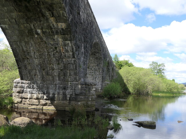
Mossdale is a small village located in the historic county of Kirkcudbrightshire, in the southwest of Scotland. Situated on the eastern bank of the River Dee, Mossdale is nestled in a picturesque rural landscape, surrounded by rolling hills and lush green fields.

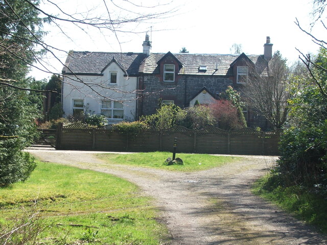
The village is known for its tranquility and natural beauty, making it a popular destination for those seeking a peaceful retreat. Mossdale is home to a tight-knit community, with a population of approximately 200 residents. The village offers a range of amenities to cater to the needs of its residents, including a local shop, a pub, and a primary school.

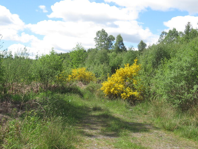
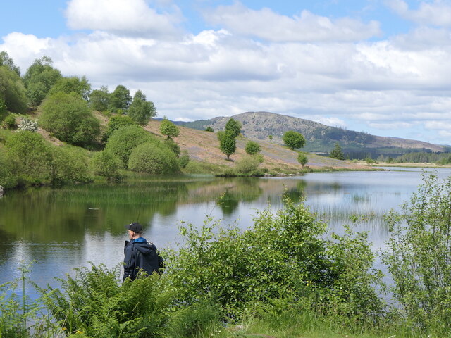
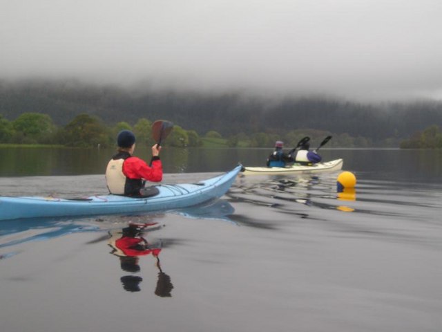
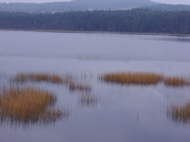
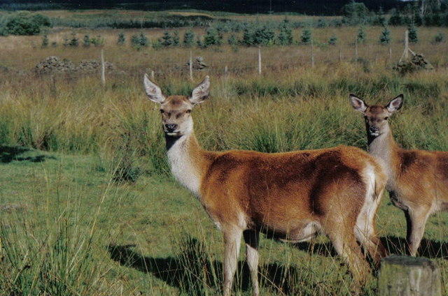
Nature enthusiasts are drawn to Mossdale for its close proximity to various outdoor activities. The surrounding countryside provides ample opportunities for hiking, cycling, and exploring the stunning landscapes of Kirkcudbrightshire. The nearby River Dee also offers fishing opportunities for those interested in angling.

Mossdale boasts a rich history, with several historic sites in the area. The village is particularly known for its connection to the artist E.A. Hornel, who lived and worked in Mossdale during the late 19th and early 20th centuries. Hornel's former residence, Broughton House, has been converted into a museum and art gallery, showcasing his works and providing insight into his life and artistic influences.

Overall, Mossdale is a charming village that offers a peaceful escape from the hustle and bustle of city life. Its natural beauty, community spirit, and historical significance make it an appealing destination for both residents and visitors alike.

If you have any feedback on the listing, please let us know in the comments section below.
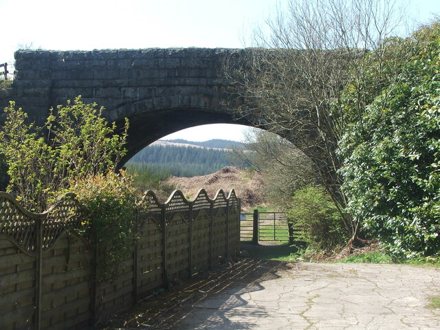
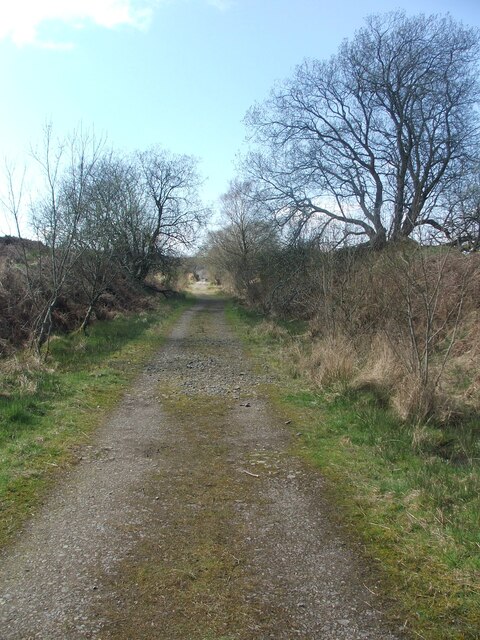
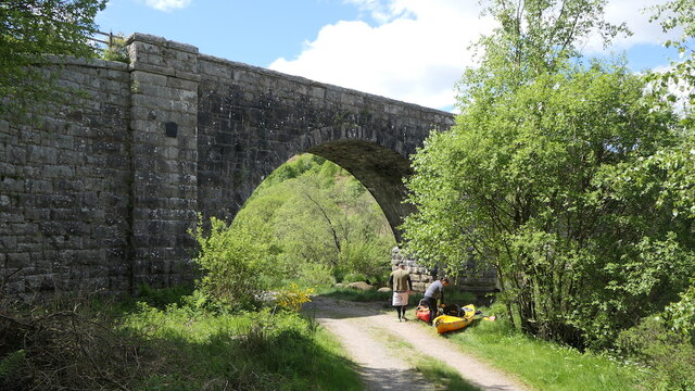
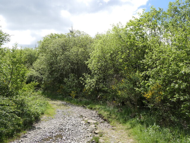
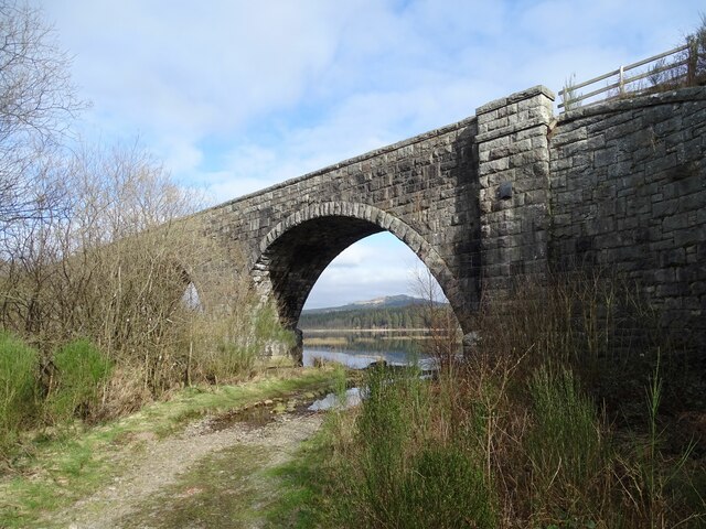
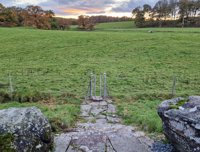
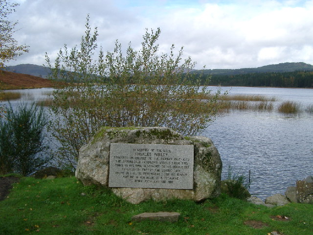
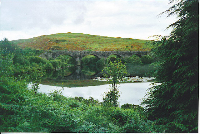
Mossdale Images

Images are sourced within 2km of 55.012029/-4.092135 or Grid Reference NX6670. Thanks to Geograph Open Source API. All images are credited.

Raiders' Road Forest road open to public use. There is a £3 parking charge. The road here is not shown by the Ordnance Survey on the 1:25,000 map so is possibly new.
Raiders' Road
Forest road open to public use. There is a £3 parking charge. The road here is not shown by the Ordnance Survey on the 1:25,000 map so is possibly new.
Young trees, Airds Hill Birch on the site of harvested conifers.
Young trees, Airds Hill
Birch on the site of harvested conifers.
Stroan Viaduct
Stroan Viaduct
Stroan Loch Fishing from near the Forestry Commission or whatever they are called this week's car park.
Stroan Loch
Fishing from near the Forestry Commission or whatever they are called this week's car park.
Old milestone From the legends on each face this milestone must have originally stood on the opposite side of the road near to Bennan Cottage.   Now it is set with its right face to the road and the back at right angles to the road.
Old milestone
From the legends on each face this milestone must have originally stood on the opposite side of the road near to Bennan Cottage. Now it is set with its right face to the road and the back at right angles to the road.
Old milestone Of the 4 milestones south from New Galloway giving the distance to New Galloway Station, this one has the clearest inscriptions, although unfortunately it is set at the wrong angle on the wrong  side of the road.
Old milestone
Of the 4 milestones south from New Galloway giving the distance to New Galloway Station, this one has the clearest inscriptions, although unfortunately it is set at the wrong angle on the wrong side of the road.
Old railway Some of this building at Mossdale by the disused railway line was New Galloway Station.  New Galloway is 5 miles to the north but because of the terrain the railway line could not always go through larger settlements.   There are 4 milestones along the road from New Galloway giving the distance to the station.
Old railway
Some of this building at Mossdale by the disused railway line was New Galloway Station. New Galloway is 5 miles to the north but because of the terrain the railway line could not always go through larger settlements. There are 4 milestones along the road from New Galloway giving the distance to the station.
Old railway This bridge carries the A762 over the disused railway line at Mossdale.   The railway between Castle Douglas and Port Patrick was built in 1863.
Old railway
This bridge carries the A762 over the disused railway line at Mossdale. The railway between Castle Douglas and Port Patrick was built in 1863.
Old railway Travelling generally westwards but following the contours, the next big town reached along this dismantled Castle Douglas to Port Patrick railway would be Newton Stewart.
Old railway
Travelling generally westwards but following the contours, the next big town reached along this dismantled Castle Douglas to Port Patrick railway would be Newton Stewart.
Stroan Viaduct The Port Road by the outlet of the Stroan Loch. The kayakers are about to go fishing.
Stroan Viaduct
The Port Road by the outlet of the Stroan Loch. The kayakers are about to go fishing.
Road beside the Dee A track that has just passed under the Stroan Viaduct.
Road beside the Dee
A track that has just passed under the Stroan Viaduct.
Stroan Viaduct Stroan Viaduct and Loch Stroan.
Stroan Viaduct
Stroan Viaduct and Loch Stroan.
Hensol House - Unusual Gate to Field This unusual gate, just to the south of Hensol House, is designed to let people into the field, but not let the livestock escape.
Hensol House - Unusual Gate to Field
This unusual gate, just to the south of Hensol House, is designed to let people into the field, but not let the livestock escape.
Memorial, Stroan Loch Memorial to a local forester
Memorial, Stroan Loch
Memorial to a local forester
Stroan Loch and Viaduct. The loch is by the Raider's Road, a Forest Drive in the Galloway Forest Park. The railway viaduct featured in Buchan's "The Thirty Nine Steps" but the railway is now long gone. The viaduct now carries a footpath.
Stroan Loch and Viaduct.
The loch is by the Raider's Road, a Forest Drive in the Galloway Forest Park. The railway viaduct featured in Buchan's "The Thirty Nine Steps" but the railway is now long gone. The viaduct now carries a footpath.
A group of kayakers paddling north on the Loch
Stroan Loch taken from Stroan Viaduct
Field with deer, Mossdale These deer were seen in a field at Mossdale, down a tiny lane to the right of the Post Office.
Field with deer, Mossdale
These deer were seen in a field at Mossdale, down a tiny lane to the right of the Post Office.
Show me another place!

Mossdale is located at Grid Ref: NX6670 (Lat: 55.012029, Lng: -4.092135)

Unitary Authority: Dumfries and Galloway

Police Authority: Dumfries and Galloway

What 3 Words

///spurring.handbags.query. Near Castle Douglas, Dumfries & Galloway

Related Wikis

New Galloway railway station

New Galloway railway station served the town of New Galloway in Dumfries and Galloway, Scotland, from 1861 to 1965 on the Portpatrick and Wigtownshire...

Airds of Kells

Airds of Kells is a farm and small estate in the historical county of Kirkcudbrightshire in the parish of Kells, Dumfries and Galloway, Scotland. The...

Loch Ken

Loch Ken is a 9 miles (14 km) long freshwater loch in the historic county of Kirkcudbrightshire in Dumfries and Galloway, Scotland. It lies in the Glenkens...

Parton railway station (Portpatrick and Wigtownshire Joint Railway)

Parton railway station served the hamlet of Parton, Dumfries and Galloway, Scotland, from 1861 to 1965 on the Portpatrick and Wigtownshire Joint Railway...

Parton, Dumfries and Galloway

Parton is a hamlet situated on the banks of the River Dee in the historical county of Kirkcudbrightshire, Dumfries and Galloway, Scotland. == Notable... ==

Ironmacannie Mill

Ironmacannie Mill is a historic watermill near Balmaclellan in Dumfries and Galloway, Scotland. Built in the 18th and 19th centuries, on the site of an...

Galloway

Galloway (Scottish Gaelic: Gall-Ghàidhealaibh [ˈkal̪ˠaɣəl̪ˠu]; Scots: Gallowa; Latin: Gallovidia) is a region in southwestern Scotland comprising the historic...

Skerrow

Skerrow was a burgh in Dumfries and Galloway, Scotland. Loch Skerrow Halt railway station, on the Portpatrick and Wigtownshire Joint Railway, served Skerrow...

Nearby Amenities

Located within 500m of 55.012029,-4.092135
Village
Naptan AtcoCode: 680000353111
Naptan Bearing: NW
Naptan BusStopType: CUS
Naptan CommonName: Village
Naptan Indicator: opp PO
Naptan Landmark: Post Office
Naptan NaptanCode: 34235796
Naptan Notes: none
Naptan Street: A762
Naptan Verified: no
Source: naptan_import
Lat/Long: 55.0120128/-4.0965329
Village
Naptan AtcoCode: 680000353222
Naptan Bearing: SE
Naptan BusStopType: CUS
Naptan CommonName: Village
Naptan Indicator: Post Office
Naptan Landmark: Post Office
Naptan NaptanCode: 34235797
Naptan Notes: none
Naptan Street: A762
Naptan Verified: no
Source: naptan_import
Lat/Long: 55.0120536/-4.0962535
New Galloway
Abandoned Railway: station
End Date: 1965-06-14
Railway: site
Start Date: 1861-03-12
Lat/Long: 55.0109739/-4.0951349
Post Box
Lat/Long: 55.0120287/-4.0962589
Power: pole
Lat/Long: 55.0123031/-4.0913101
Power: pole
Lat/Long: 55.0122605/-4.0924191
Power: pole
Lat/Long: 55.0128963/-4.0937065
Power: pole
Lat/Long: 55.01285/-4.0950258
Power: pole
Lat/Long: 55.0134737/-4.0956122
Power: pole
Lat/Long: 55.0141559/-4.096241
Power: pole
Lat/Long: 55.0147223/-4.0967785
Power: pole
Lat/Long: 55.0152765/-4.0973096
Power: pole
Lat/Long: 55.0119437/-4.0914057
Power: pole
Lat/Long: 55.0115515/-4.0915353
Power: pole
Lat/Long: 55.0108608/-4.0917541
Power: pole
Lat/Long: 55.0101566/-4.0919623
Power: pole
Lat/Long: 55.0094415/-4.092179
Power: pole
Lat/Long: 55.0088007/-4.0923915
Power: pole
Lat/Long: 55.008395/-4.0929736
Power: pole
Lat/Long: 55.0083597/-4.0919687
Power: pole
Lat/Long: 55.0078553/-4.0937596
Power: pole
Lat/Long: 55.0123677/-4.0898697
Power: pole
Lat/Long: 55.0124249/-4.0884166
Power: pole
Lat/Long: 55.0124883/-4.0868403
Power: pole
Lat/Long: 55.0125516/-4.0851704
The data included in this document is from www.openstreetmap.org. The data is made available under ODbL.

Have you been to Mossdale?

Leave your review of Mossdale below (or comments, questions and feedback).