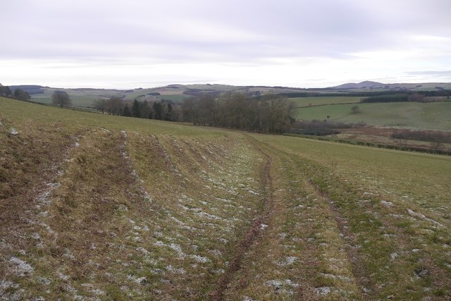
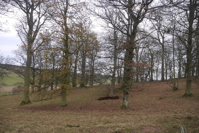
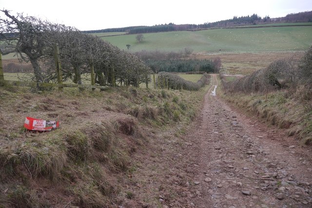
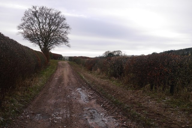
Flat Plantation
Wood, Forest in Roxburghshire
Scotland
Flat Plantation
The requested URL returned error: 429 Too Many Requests
If you have any feedback on the listing, please let us know in the comments section below.
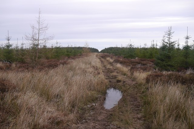
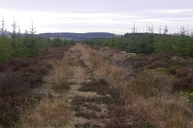
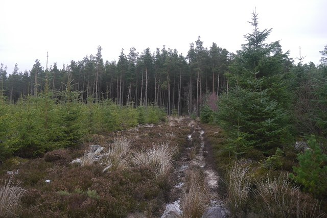
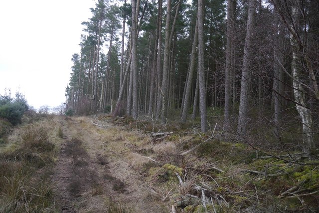
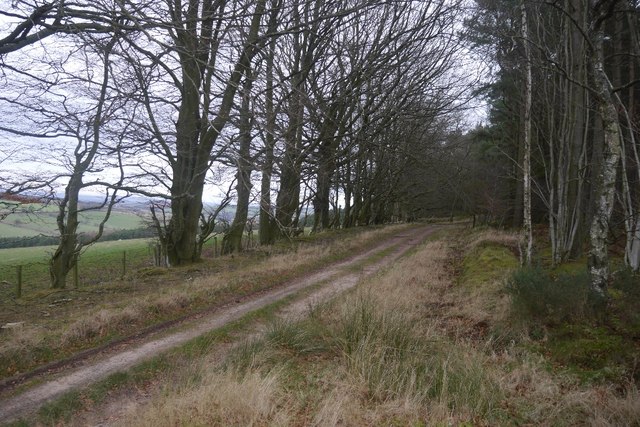
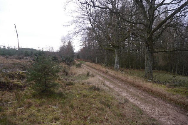
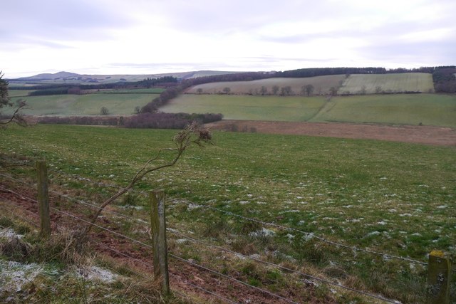
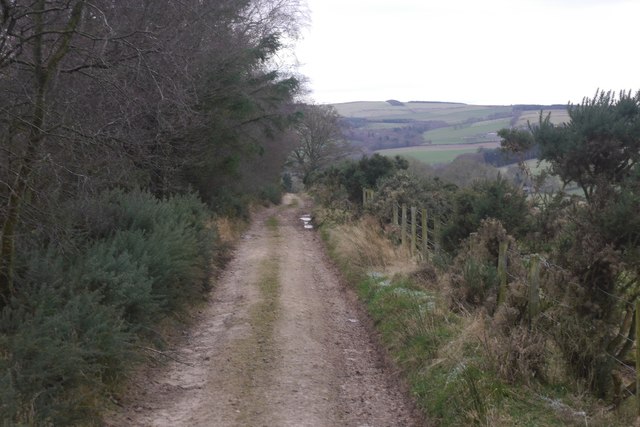
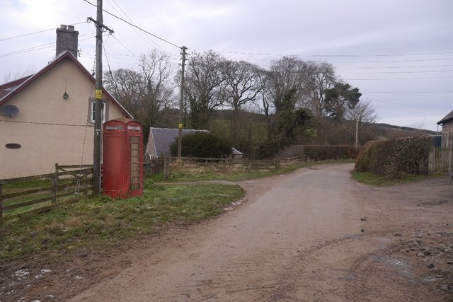
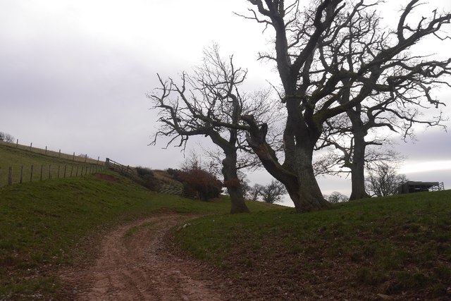
Flat Plantation Images
Images are sourced within 2km of 55.445589/-2.5311675 or Grid Reference NT6616. Thanks to Geograph Open Source API. All images are credited.
Flat Plantation is located at Grid Ref: NT6616 (Lat: 55.445589, Lng: -2.5311675)
Unitary Authority: The Scottish Borders
Police Authority: The Lothians and Scottish Borders
What 3 Words
///hypnotist.animates.eyebrows. Near Jedburgh, Scottish Borders
Nearby Locations
Related Wikis

Ferniehirst Castle
Ferniehirst Castle (sometimes spelled Ferniehurst) is an L-shaped construction on the east bank of the Jed Water, about a mile and a half south of Jedburgh...

Bairnkine
Bairnkine is a hamlet on the Jed Water in the Scottish Borders area of Scotland, on the A68, south of Jedburgh. Other places nearby include Abbotrule,...

Jedforest
Jedforest is an historic forest in the Scottish Borders, that has been heavily wooded in the past. It is close to Jed Water and the town of Jedburgh, from...

Capon Oak Tree
The Capon Oak Tree is one of the last surviving trees of the ancient Scottish Jedforest. It is close to the A68 and Jed Water, a small river which has...
Nearby Amenities
Located within 500m of 55.445589,-2.5311675Have you been to Flat Plantation?
Leave your review of Flat Plantation below (or comments, questions and feedback).