Moss Plantation

Wood, Forest in Roxburghshire

Scotland

Moss Plantation

River cliff by Jed Water From Jed Water Caravan Park.
River cliff by Jed Water Credit: Hugh Venables

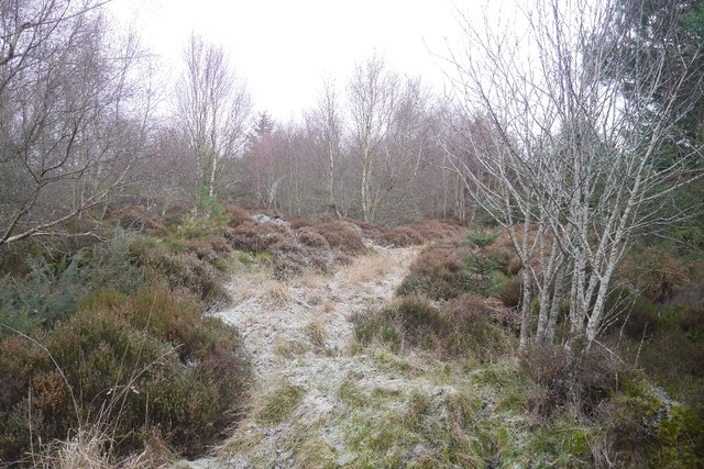
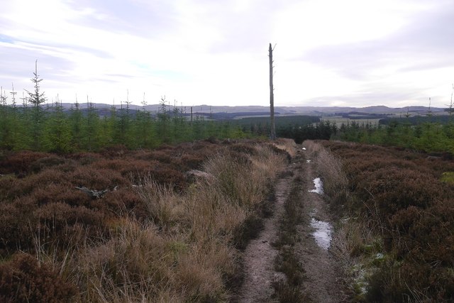
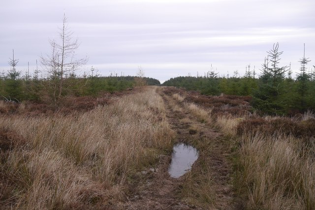
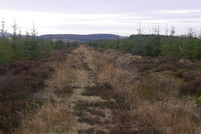
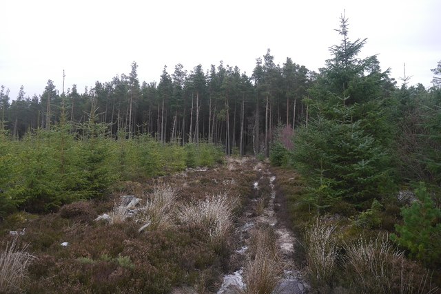
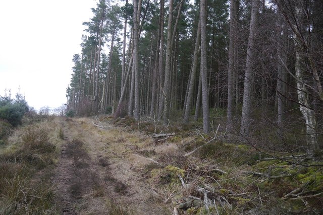
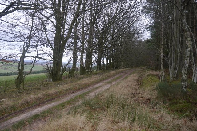
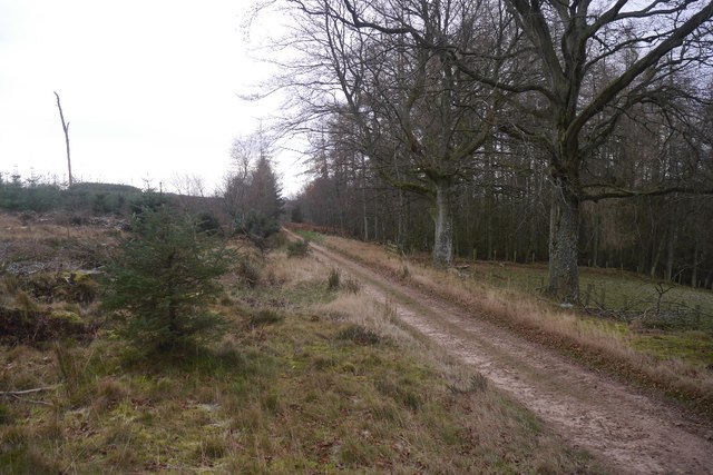
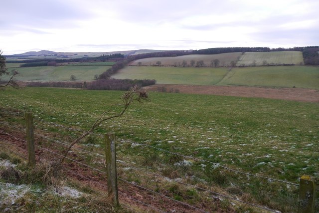
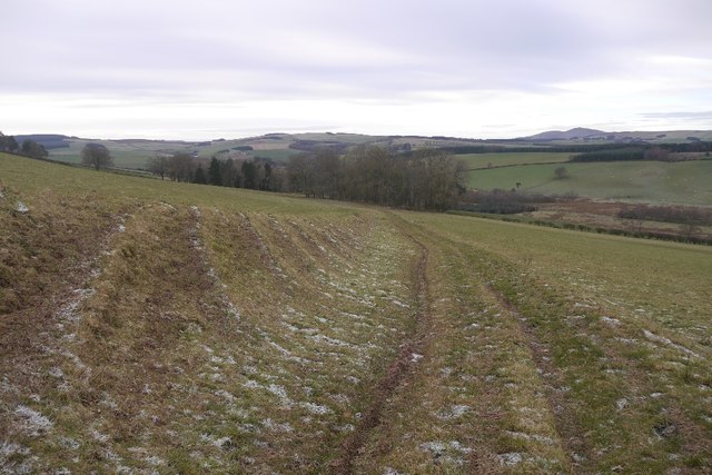
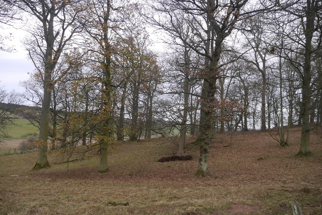
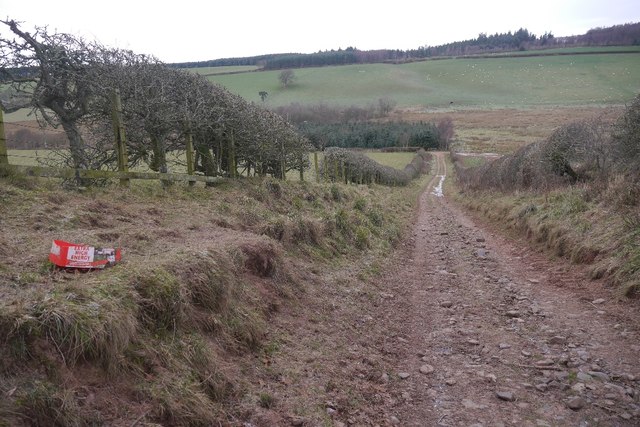
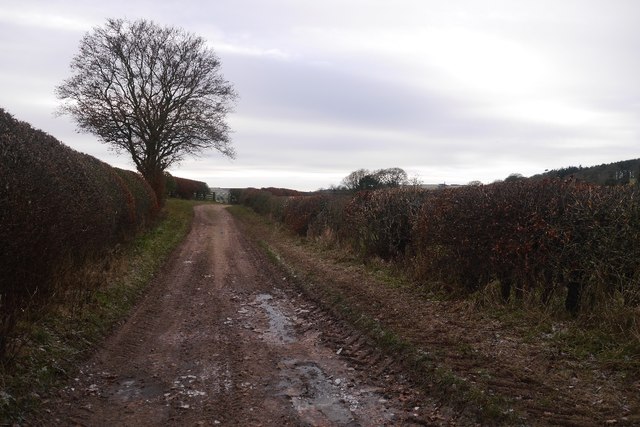
Moss Plantation is a picturesque woodland located in Roxburghshire, a historic county in the Scottish Borders region of Scotland. Covering an area of approximately 200 acres, the plantation is characterized by its dense growth of moss and various species of trees, creating a serene and enchanting atmosphere.

The plantation primarily consists of native Scottish tree species, including oak, birch, and Scots pine, which have flourished in the fertile soil and moist climate of the region. These trees form a dense canopy, providing shelter for a diverse range of wildlife and creating a habitat for numerous bird species, such as woodpeckers and owls.

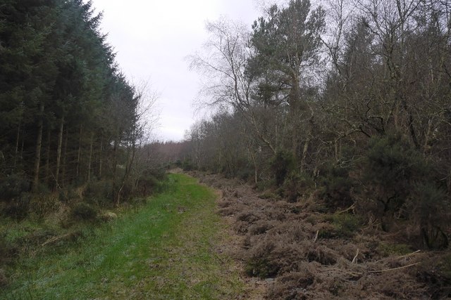
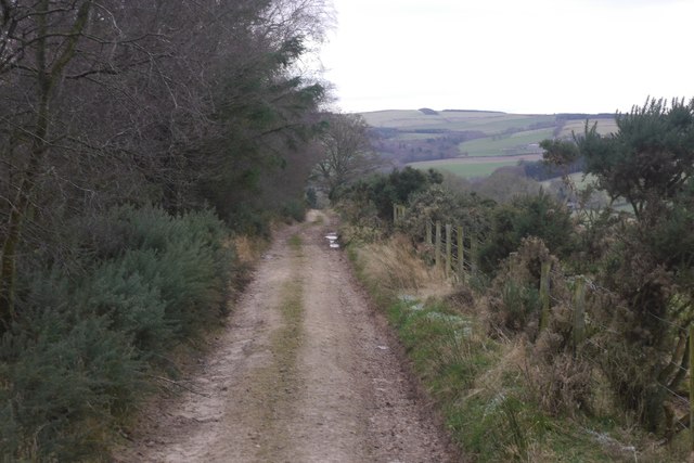
Visitors to Moss Plantation can explore a network of well-maintained paths that wind through the woodland, allowing for a peaceful and immersive experience in nature. The paths are lined with vibrant wildflowers and ferns, adding to the beauty of the surroundings.

Moss Plantation is a popular destination for nature enthusiasts, hikers, and photographers, who are attracted to its tranquil setting and abundant wildlife. It offers a range of recreational activities, including birdwatching, nature walks, and picnicking.

Managed by the local authorities, Moss Plantation is dedicated to preserving the natural beauty and biodiversity of the area. Regular conservation efforts ensure the health and vitality of the woodland, making it an important ecological site in Roxburghshire.

Overall, Moss Plantation is a captivating woodland retreat that offers visitors an opportunity to connect with nature and experience the serenity of a Scottish forest.

If you have any feedback on the listing, please let us know in the comments section below.

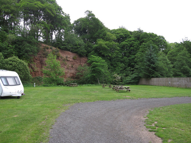
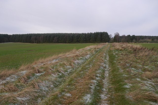
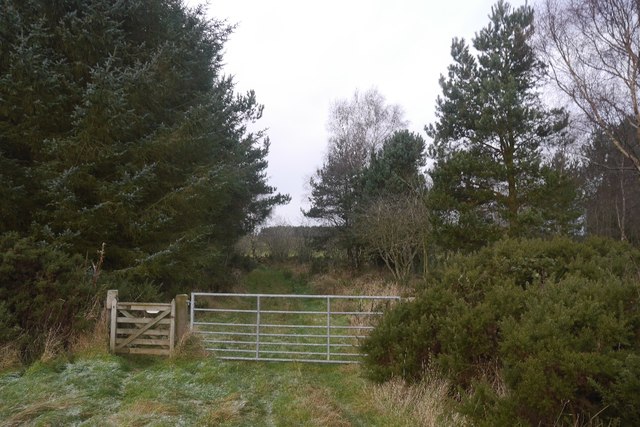
Moss Plantation Images

Images are sourced within 2km of 55.442512/-2.5237759 or Grid Reference NT6616. Thanks to Geograph Open Source API. All images are credited.

River cliff by Jed Water From Jed Water Caravan Park.
River cliff by Jed Water
From Jed Water Caravan Park.
Oxnam to Dolphinston road A grassy, and therefore hard work on the slight gradient, bit heading for the woods at Birkenside.
Oxnam to Dolphinston road
A grassy, and therefore hard work on the slight gradient, bit heading for the woods at Birkenside.
Gate, Birkenside On the Dolphinston to Oxnam road.
Gate, Birkenside
On the Dolphinston to Oxnam road.
Oxnam to Dolphinston road A grassy bit near Birkenside Cottage.  The ground is wet here, but frozen today.
Oxnam to Dolphinston road
A grassy bit near Birkenside Cottage. The ground is wet here, but frozen today.
Young trees, Birkenside Much of the plantation has been replanted in recent years. The path network shown by the Ordnance Survey has gone, many of the tracks shown no longer exist.
Young trees, Birkenside
Much of the plantation has been replanted in recent years. The path network shown by the Ordnance Survey has gone, many of the tracks shown no longer exist.
Path, Birkenside A good, well used path through young trees.  The mapped path network no longer exists.
Path, Birkenside
A good, well used path through young trees. The mapped path network no longer exists.
Path, Birkenside Running along the ridge line.  The path network shown by the Ordnance Survey is from before the felling of most of the woodland. The new plantings have a different set of tracks.
Path, Birkenside
Running along the ridge line. The path network shown by the Ordnance Survey is from before the felling of most of the woodland. The new plantings have a different set of tracks.
Path, Birkenside Amongst young trees.  Many of the mapped paths have gone since replanting.
Path, Birkenside
Amongst young trees. Many of the mapped paths have gone since replanting.
Birkenside Path towards some surviving older trees.  The path network here is very different to that shown by the Ordnance Survey.
Birkenside
Path towards some surviving older trees. The path network here is very different to that shown by the Ordnance Survey.
Path, Birkenside One of the paths which coincide with the mapped network which has largely disappeared.
Path, Birkenside
One of the paths which coincide with the mapped network which has largely disappeared.
Mossburnford to Oxnam road A well surfaced forest road on this section.
Mossburnford to Oxnam road
A well surfaced forest road on this section.
Oxnam to Mossburnford road Running along the edge of Birkenshaw woodlands.  The paths shown by the OS into the woods west of here no longer exist, but this road is a good one all the way through to Mossburnford.
Oxnam to Mossburnford road
Running along the edge of Birkenshaw woodlands. The paths shown by the OS into the woods west of here no longer exist, but this road is a good one all the way through to Mossburnford.
View towards Fendyhall Moss
Oxnam to Mossburnford road A well surfaced road which has one grassy section just west of here.  Paths shown heading south from this road in NT6717 no longer exist.
Oxnam to Mossburnford road
A well surfaced road which has one grassy section just west of here. Paths shown heading south from this road in NT6717 no longer exist.
Oxnam to Mossburnford road A descent through a field links up two stone/mud surfaced roads.  All very pleasant in frosty conditions.
Oxnam to Mossburnford road
A descent through a field links up two stone/mud surfaced roads. All very pleasant in frosty conditions.
Peel Clumps A circular oak wood surrounded by an earth wall.
Peel Clumps
A circular oak wood surrounded by an earth wall.
Oxnam to Mossburnford road A steep section, used as a field access route.
Oxnam to Mossburnford road
A steep section, used as a field access route.
Oxnam to Mossburnford road Approaching Mossburnford on a farm road. Looks muddy, but today it was frozen solid.
Oxnam to Mossburnford road
Approaching Mossburnford on a farm road. Looks muddy, but today it was frozen solid.
Show me another place!

Moss Plantation is located at Grid Ref: NT6616 (Lat: 55.442512, Lng: -2.5237759)

Unitary Authority: The Scottish Borders

Police Authority: The Lothians and Scottish Borders

What 3 Words

///muted.blacken.ponies. Near Jedburgh, Scottish Borders

Related Wikis

Bairnkine

Bairnkine is a hamlet on the Jed Water in the Scottish Borders area of Scotland, on the A68, south of Jedburgh. Other places nearby include Abbotrule,...

Ferniehirst Castle

Ferniehirst Castle (sometimes spelled Ferniehurst) is an L-shaped construction on the east bank of the Jed Water, about a mile and a half south of Jedburgh...

Jedforest

Jedforest is an historic forest in the Scottish Borders, that has been heavily wooded in the past. It is close to Jed Water and the town of Jedburgh, from...

Capon Oak Tree

The Capon Oak Tree is one of the last surviving trees of the ancient Scottish Jedforest. It is close to the A68 and Jed Water, a small river which has...

Nearby Amenities

Located within 500m of 55.442512,-2.5237759
Material: wood
Power: pole
Lat/Long: 55.4383104/-2.5261896
Power: pole
Lat/Long: 55.44005/-2.5264945
Power: pole
Lat/Long: 55.4405885/-2.5274015
Power: pole
Lat/Long: 55.4411225/-2.5283276
Power: pole
Lat/Long: 55.441662/-2.5292615
Power: pole
Lat/Long: 55.4421678/-2.5301359
Power: pole
Lat/Long: 55.4427356/-2.5308914
Noexit: yes
Lat/Long: 55.4388015/-2.5269279
Telephone
Booth: K6
Check Date: 2021-12-19
Covered: booth
Operator: BT
Operator Wikidata: Q593786
Phone: +44 1836840242
Lat/Long: 55.4385535/-2.5271237
Power: pole
Lat/Long: 55.4399029/-2.5281402
Power: pole
Lat/Long: 55.4397685/-2.5296569
The data included in this document is from www.openstreetmap.org. The data is made available under ODbL.

Have you been to Moss Plantation?

Leave your review of Moss Plantation below (or comments, questions and feedback).