Mossbrow
Settlement in Cheshire
England
Mossbrow
Mossbrow is a small village located in the county of Cheshire, England. It is situated in the northern part of the county, approximately 10 miles east of the city of Chester. This picturesque village is known for its idyllic countryside setting and charming rural atmosphere.
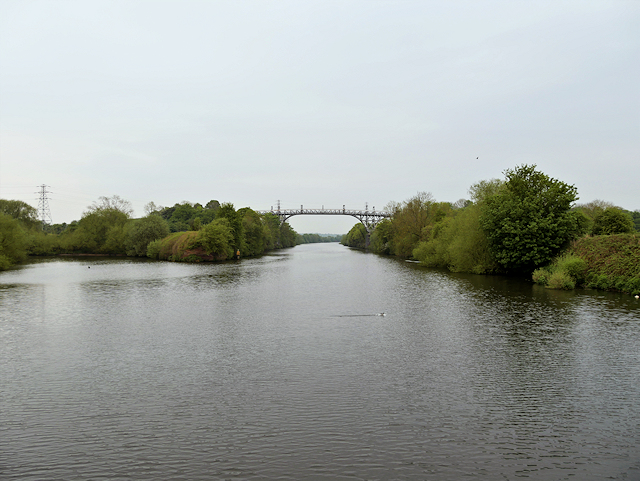
The village of Mossbrow is surrounded by lush green fields, rolling hills, and beautiful woodland areas, making it a popular destination for nature lovers and outdoor enthusiasts. There are several walking and cycling trails that crisscross the countryside, providing visitors with ample opportunities to explore the stunning natural beauty of the area.
Despite its small size, Mossbrow has a close-knit community that takes pride in its heritage. The village is dotted with traditional stone cottages and quaint houses, giving it a timeless feel. The locals are known for their friendliness and warm hospitality, making visitors feel welcome and at home.
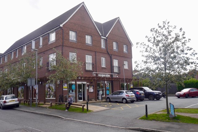
In terms of amenities, Mossbrow offers a few essential facilities such as a local convenience store, a village hall, and a cozy pub where residents and visitors can enjoy a pint of local ale. However, for more extensive shopping or entertainment options, the nearby city of Chester provides a wider range of amenities and attractions.
Overall, Mossbrow, Cheshire, is a charming village that offers a peaceful retreat from the hustle and bustle of city life. Its natural beauty, friendly community, and rural charm make it an attractive destination for those seeking a tranquil getaway in the heart of the English countryside.
If you have any feedback on the listing, please let us know in the comments section below.
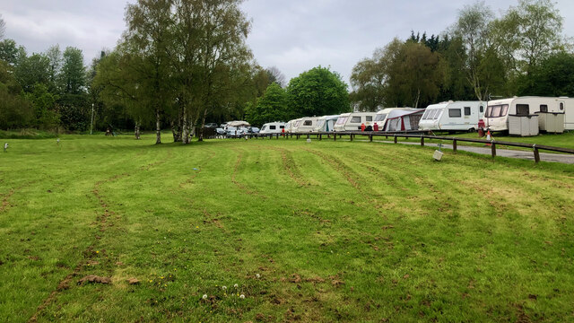
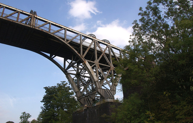
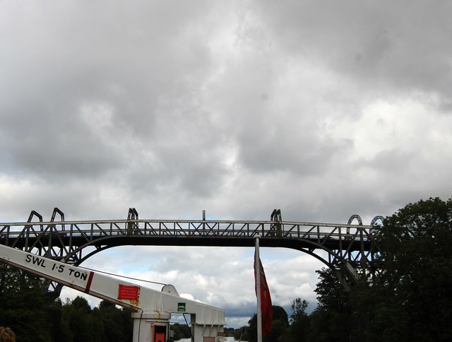
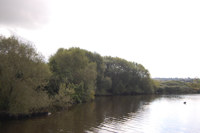
Mossbrow Images
Images are sourced within 2km of 53.400334/-2.439743 or Grid Reference SJ7089. Thanks to Geograph Open Source API. All images are credited.


Mossbrow is located at Grid Ref: SJ7089 (Lat: 53.400334, Lng: -2.439743)
Unitary Authority: Trafford
Police Authority: Greater Manchester
What 3 Words
///factory.unspoiled.dreams. Near Partington, Manchester
Related Wikis

Warburton School
Warburton School is on the south side of Dunham Road in the village of Warburton, Greater Manchester, England. It has been converted into a house and...
Church House, Warburton
Church House is adjacent to St Werburgh's Church, in Bent Lane in the village of Warburton, Greater Manchester, England. It is recorded in the National...

Bent Farmhouse, Warburton
Bent Farmhouse is in Bent Lane in the village of Warburton, Greater Manchester, England, opposite the church of St Werburgh. It is recorded in the National...

Warburton, Greater Manchester
Warburton is a village and civil parish within the Metropolitan Borough of Trafford in Greater Manchester, England. Historically in Cheshire, Warburton...

St Werburgh's Church, Warburton
St Werburgh's Church is the name of two separate churches in the village of Warburton, Greater Manchester, England. The older church is located to the...
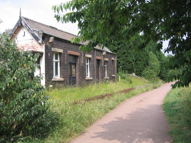
Heatley & Warburton railway station
Heatley & Warburton railway station was located in Heatley near Warburton, Greater Manchester. It opened in 1853 and closed in 1962. == Construction... ==
Broadoak School
Broadoak School is a coeducational secondary school with academy status located in Partington in the English county of Greater Manchester.Previously a...
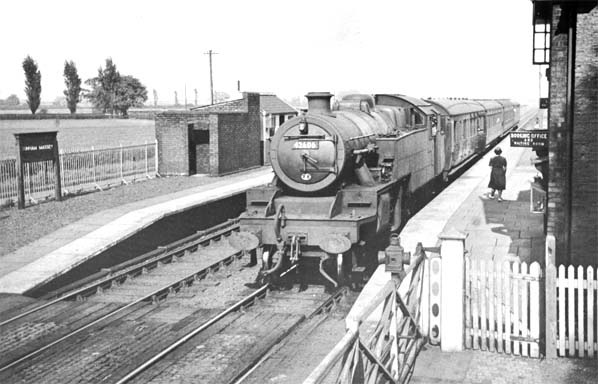
Dunham Massey railway station
Dunham Massey railway station was a station in England, serving the Dunham Massey. The station opened in 1854 and closed in 1962. == Construction and... ==
Related Videos

Dunham Massey #DunhamMassey #travel #travelvlog #calm #dayout #nature #lake #flowers #shorts #vlog
Beautiful Dunham Massey, Trafford, Greater Manchester No entry fee, but parking is expensive.

DUNHAM MASSEY | EXPLORING THE GARDENS | WALK WITH THOMAS
Walk with me as I take you around the beautiful gardens at Dunham Massey, looked after by the @nationaltrustcharity For the full ...

Transpennine Trail - Amazing English Countryside Nature Trail Bike Walking Path 4K
The Trans Pennine Trail (TPT) is an exciting route for walkers, cyclists and horse riders linking the North and Irish seas, passing ...
Bank holiday at Dunham Massey
Dunham Massey @nationaltrustcharity #nationaltrust #dunhammassey #deer #nature #northwest #naturephotography ...
Nearby Amenities
Located within 500m of 53.400334,-2.439743Have you been to Mossbrow?
Leave your review of Mossbrow below (or comments, questions and feedback).