Warburton
Civil Parish in Cheshire Trafford
England
Warburton
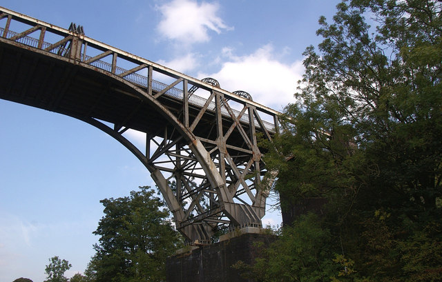
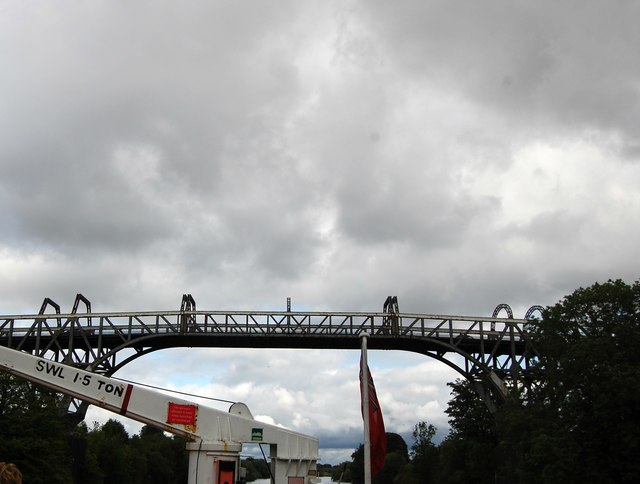
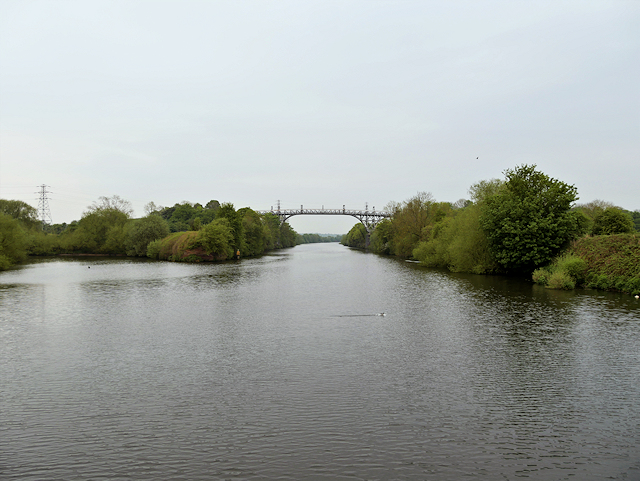
Warburton is a small civil parish located in the county of Cheshire, England. It is situated approximately 12 miles southwest of Manchester city center and is bordered by the River Mersey to the north, providing a picturesque setting for this rural community.
The village of Warburton is known for its historic charm and traditional character. It features a mix of architectural styles, including timber-framed cottages, Georgian houses, and Victorian buildings. The local church, St. Werburgh's, dates back to the 14th century and is a prominent landmark in the area.
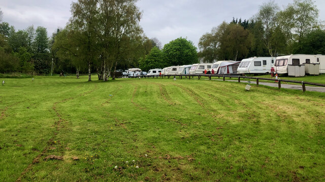
The parish is surrounded by beautiful countryside, offering residents and visitors ample opportunities for outdoor activities such as walking, cycling, and fishing. The River Mersey is a popular spot for boating enthusiasts and wildlife enthusiasts alike, as it is home to a diverse range of flora and fauna.
Despite its small size, Warburton has a strong sense of community and is home to a number of local amenities. These include a primary school, a village hall, and a few shops and pubs. The village also hosts various events and activities throughout the year, including a summer fair and a Christmas market.
Transport links to Warburton are convenient, with easy access to major road networks such as the M6 and M56, as well as nearby train stations providing regular services to Manchester and Liverpool. Overall, Warburton offers a peaceful and idyllic setting for those seeking a rural lifestyle with easy access to urban amenities.
If you have any feedback on the listing, please let us know in the comments section below.
Warburton Images
Images are sourced within 2km of 53.401015/-2.43796 or Grid Reference SJ7089. Thanks to Geograph Open Source API. All images are credited.


Warburton is located at Grid Ref: SJ7089 (Lat: 53.401015, Lng: -2.43796)
Administrative County: Greater Manchester
District: Trafford
Police Authority: Greater Manchester
What 3 Words
///chestnuts.spires.types. Near Partington, Manchester
Related Wikis

Warburton School
Warburton School is on the south side of Dunham Road in the village of Warburton, Greater Manchester, England. It has been converted into a house and...
Church House, Warburton
Church House is adjacent to St Werburgh's Church, in Bent Lane in the village of Warburton, Greater Manchester, England. It is recorded in the National...

Bent Farmhouse, Warburton
Bent Farmhouse is in Bent Lane in the village of Warburton, Greater Manchester, England, opposite the church of St Werburgh. It is recorded in the National...

Warburton, Greater Manchester
Warburton is a village and civil parish within the Metropolitan Borough of Trafford in Greater Manchester, England. Historically in Cheshire, Warburton...

St Werburgh's Church, Warburton
St Werburgh's Church is the name of two separate churches in the village of Warburton, Greater Manchester, England. The older church is located to the...
Broadoak School
Broadoak School is a coeducational secondary school with academy status located in Partington in the English county of Greater Manchester.Previously a...
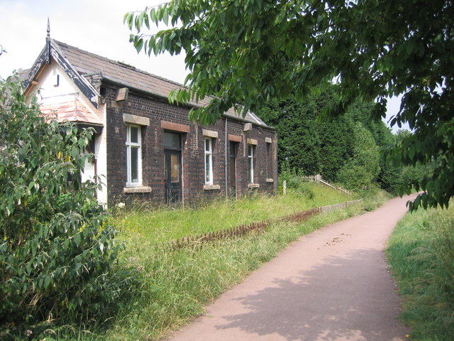
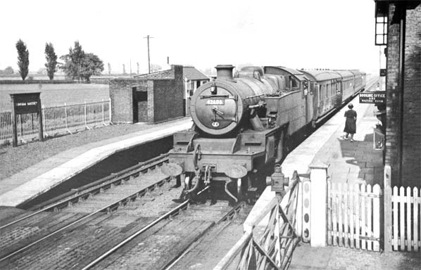
Heatley & Warburton railway station
Heatley & Warburton railway station was located in Heatley near Warburton, Greater Manchester. It opened in 1853 and closed in 1962. == Construction... ==
Dunham Massey railway station
Dunham Massey railway station was a station in England, serving the Dunham Massey. The station opened in 1854 and closed in 1962. == Construction and... ==
Related Videos

Dunham Massey #DunhamMassey #travel #travelvlog #calm #dayout #nature #lake #flowers #shorts #vlog
Beautiful Dunham Massey, Trafford, Greater Manchester No entry fee, but parking is expensive.

DUNHAM MASSEY | EXPLORING THE GARDENS | WALK WITH THOMAS
Walk with me as I take you around the beautiful gardens at Dunham Massey, looked after by the @nationaltrustcharity For the full ...

Transpennine Trail - Amazing English Countryside Nature Trail Bike Walking Path 4K
The Trans Pennine Trail (TPT) is an exciting route for walkers, cyclists and horse riders linking the North and Irish seas, passing ...

Nearby Amenities
Located within 500m of 53.401015,-2.43796Have you been to Warburton?
Leave your review of Warburton below (or comments, questions and feedback).