Morton Underhill

Settlement in Worcestershire Wychavon

England

Morton Underhill

Quiet country road Quiet country road near Stock Wood.
Quiet country road Credit: Philip Halling

Morton Underhill is a small village located in the county of Worcestershire, England. Situated in the heart of the West Midlands, it is surrounded by picturesque countryside and offers a tranquil and idyllic setting for its residents. With a population of around 500 people, the village maintains a close-knit community atmosphere.

The history of Morton Underhill dates back several centuries, with evidence of human settlement in the area since the Roman times. The name "Underhill" refers to its geographical location beneath a hill, which provides stunning views of the surrounding landscape. The village is known for its charming architecture, with many traditional cottages and buildings still standing, showcasing the area's rich heritage.

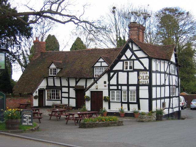
Despite its small size, Morton Underhill offers a range of amenities for its residents. The village has a local pub, The Red Lion, which serves as a popular meeting point and a hub for social activities. It also has a primary school, providing education for the younger population, and a village hall that hosts various community events throughout the year.

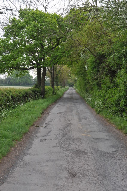
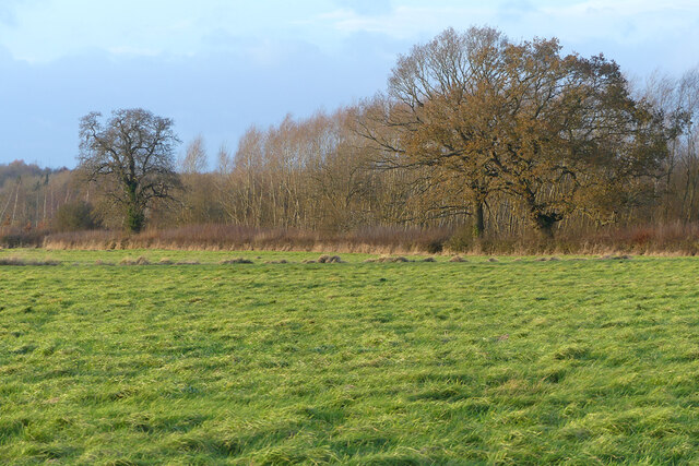
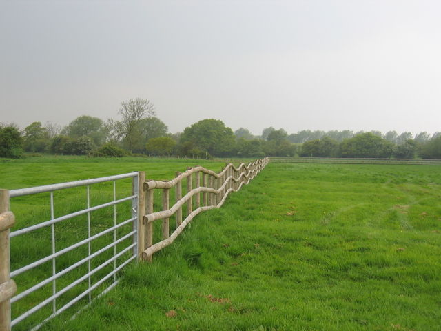
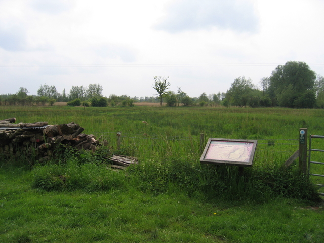
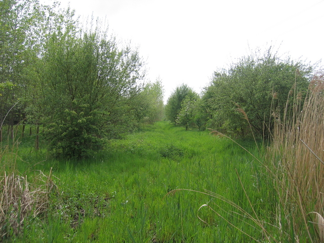
Surrounded by lush green fields and rolling hills, Morton Underhill is a haven for nature enthusiasts. The village is located near several walking and cycling trails, allowing residents to explore the beautiful Worcestershire countryside. The nearby River Avon also offers opportunities for fishing and boating activities.

Overall, Morton Underhill offers a peaceful and picturesque lifestyle for its residents, combining historical charm with the beauty of the natural surroundings. It is a place where community spirit thrives, and residents can enjoy a close connection with both nature and their neighbors.

If you have any feedback on the listing, please let us know in the comments section below.

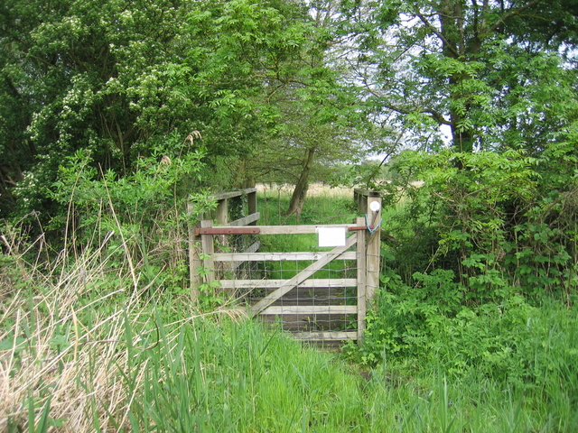
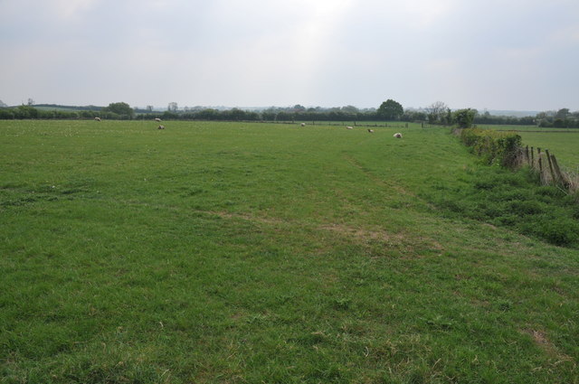
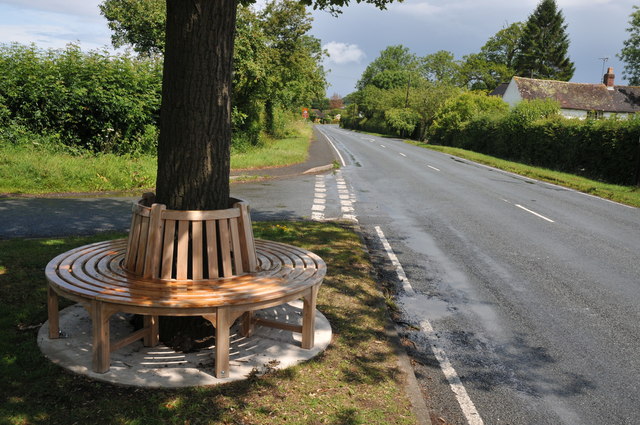
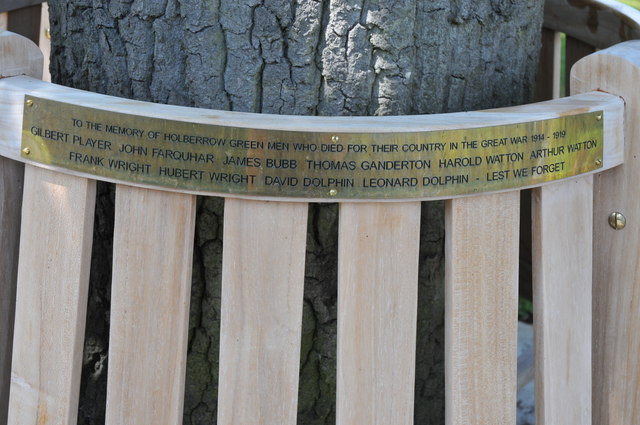
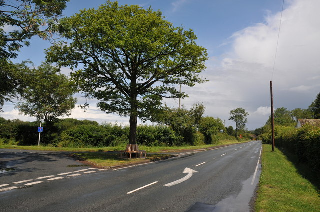
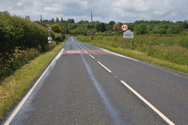
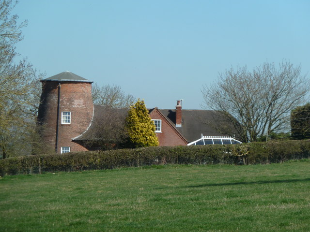
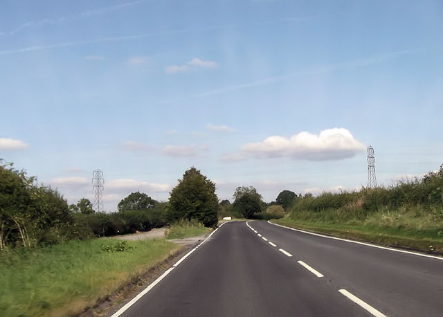
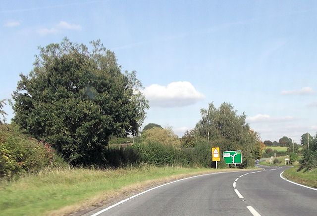
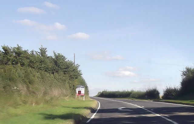
Morton Underhill Images

Images are sourced within 2km of 52.231861/-1.983129 or Grid Reference SP0159. Thanks to Geograph Open Source API. All images are credited.

Quiet country road Quiet country road near Stock Wood.
Quiet country road
Quiet country road near Stock Wood.
Pasture, Feckenham Pasture and woodland to the north-west of Bean Hall Mill.
Pasture, Feckenham
Pasture and woodland to the north-west of Bean Hall Mill.
Fence at Shurnock The fields around Shurnock Court still show signs of ridge and furrow farming. This field has been subdivided with recent fencing to create smaller paddocks, resulting in an interesting fence line as it cuts across the ridges.
Fence at Shurnock
The fields around Shurnock Court still show signs of ridge and furrow farming. This field has been subdivided with recent fencing to create smaller paddocks, resulting in an interesting fence line as it cuts across the ridges.
Feckenham Wylde Moor Nature reserve This small nature reserve is situated on an area of marshland beside Moors Lane.  The notice board <a href="https://www.geograph.org.uk/photo/173555">SP0160 : Feckenham Wylde Moor Nature Reserve</a> provides more detail.
Feckenham Wylde Moor Nature reserve
This small nature reserve is situated on an area of marshland beside Moors Lane. The notice board SP0160 : Feckenham Wylde Moor Nature Reserve provides more detail.
Footpath to Beanhall Mill Farm Looking along the footpath from the Feckenham Wylde nature reserve at the edge of the square.  The OS map shows this as marshland and the verdant greenery confirms that it is!  For the walker the recent heavy rains make it very squidgy underfoot.
Footpath to Beanhall Mill Farm
Looking along the footpath from the Feckenham Wylde nature reserve at the edge of the square. The OS map shows this as marshland and the verdant greenery confirms that it is! For the walker the recent heavy rains make it very squidgy underfoot.
Llama Seen in a field by Moors Lane.
Llama
Seen in a field by Moors Lane.
Pond by Moors Lane A small man-made pond beside Moors Lane at the junction of the bridleway towards Andy's Barn.
Pond by Moors Lane
A small man-made pond beside Moors Lane at the junction of the bridleway towards Andy's Barn.
Feckenham Wylde Moor Nature Reserve The sign at the entrance to <a href="https://www.geograph.org.uk/photo/169740">SP0160 : Feckenham Wylde Moor Nature reserve</a> from Moors Lane.
Feckenham Wylde Moor Nature Reserve
The sign at the entrance to SP0160 : Feckenham Wylde Moor Nature reserve from Moors Lane.
Footbridge at Feckenham Wylde Moors Nature Reserve The gate and footbridge on the footpath to Beanhall Mill near the western edge of the square.
Footbridge at Feckenham Wylde Moors Nature Reserve
The gate and footbridge on the footpath to Beanhall Mill near the western edge of the square.
Farmland at Inkberrow Sheep in a field near Inkberrow.
Farmland at Inkberrow
Sheep in a field near Inkberrow.
Memorial seat, Holberrow Green A recently made memorial seat in memory of those from Holberrow Green who gave their lives in the First World War.  The seat is round the trunk of an oak tree on the junction of a no through road to Morton Hall with the B4092.
Memorial seat, Holberrow Green
A recently made memorial seat in memory of those from Holberrow Green who gave their lives in the First World War. The seat is round the trunk of an oak tree on the junction of a no through road to Morton Hall with the B4092.
Names on a memorial seat, Holberrow Green The names of the men of Holberrow Green who gave their lives in the First World War on a memorial seat.
Names on a memorial seat, Holberrow Green
The names of the men of Holberrow Green who gave their lives in the First World War on a memorial seat.
Memorial seat, Holberrow Green Memorial seat to the men of Holberrow Green who gave their lives in the First World War.
Memorial seat, Holberrow Green
Memorial seat to the men of Holberrow Green who gave their lives in the First World War.
Approaching Holberrow Green Approaching Holberrow Green on the B4092.
Approaching Holberrow Green
Approaching Holberrow Green on the B4092.
Former windmill - Holberrow Green The stump of a tower mill with attached house. There is another nearby at Inkberrow but I have yet to see that (next time perhaps).
Former windmill - Holberrow Green
The stump of a tower mill with attached house. There is another nearby at Inkberrow but I have yet to see that (next time perhaps).
A422 west of power lines The power lines can be seen. East of Inkberrow
A422 west of power lines
The power lines can be seen. East of Inkberrow
B4092 junction ahead
Priory Piece junction from A422
Show me another place!

Morton Underhill is located at Grid Ref: SP0159 (Lat: 52.231861, Lng: -1.983129)

Administrative County: Worcestershire

District: Wychavon

Police Authority: West Mercia

What 3 Words

///bulge.lump.districts. Near Inkberrow, Worcestershire

Related Wikis

Holberrow Green

Holberrow Green is a village in Worcestershire, England. == External links == Media related to Holberrow Green at Wikimedia Commons

Sporting Club Inkberrow F.C.

Sporting Club Inkberrow Football Club is a football club based in Inkberrow, England. They are currently members of the Hellenic League Division One and...

Little Inkberrow

Little Inkberrow is a village in Worcestershire, England. Ralph Ardern inherited the Worcestershire manor of Little Inkberrow between 1382 (the death...
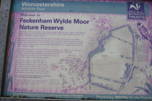
Feckenham

Feckenham is a village and civil parish in the Borough of Redditch in Worcestershire, England. It lies some 4 miles (6 km) south-west of the town of Redditch...

Inkberrow

Inkberrow is a village in Worcestershire, England, often thought to be the model for Ambridge, the setting of BBC Radio 4's long-running series The Archers...

Inkberrow Castle

Inkberrow Castle was situated in the village of Inkberrow in Worcestershire, some 10 km south of Redditch (grid reference SP017572). It was a castle built...

Dormston

Dormston is a village and civil parish in Worcestershire about 3 miles (4.8 km) south of Redditch. == Name == Dormston's toponym has evolved from Deormodesealdtune...

Bradley Green, Worcestershire

Bradley Green is a village in the Wychavon district of Worcestershire, England. It is located just south of the town of Redditch and south of Feckenham...

Nearby Amenities

Located within 500m of 52.231861,-1.983129
Power: pole
Lat/Long: 52.2323747/-1.976138
Power: tower
Source: bing
Lat/Long: 52.2310039/-1.9769331
Manor Farm Morton Underhill
Power: pole
Transformer: distribution
Voltage Primary: 11000
Lat/Long: 52.2331128/-1.9780619
Power: pole
Lat/Long: 52.2327145/-1.9770521
Power: tower
Source: bing
Lat/Long: 52.2337236/-1.9770041
Power: pole
Lat/Long: 52.232603/-1.9855643
Power: pole
Lat/Long: 52.2305347/-1.9869457
Power: pole
Lat/Long: 52.2333383/-1.9850657
Power: pole
Lat/Long: 52.2295501/-1.9876058
Power: pole
Lat/Long: 52.231528/-1.9862834
Power: pole
Lat/Long: 52.2337545/-1.9854329
Power: pole
Lat/Long: 52.233017/-1.9859427
Power: pole
Lat/Long: 52.2361703/-1.9831828
Power: pole
Lat/Long: 52.2318308/-1.9867822
Power: pole
Lat/Long: 52.2349005/-1.9840411
Power: pole
Lat/Long: 52.2348551/-1.9846148
Power: pole
Lat/Long: 52.2360329/-1.9837994
Power: pole
Lat/Long: 52.2295802/-1.9883968
Power: pole
Lat/Long: 52.2307071/-1.9875814
Morton Underhill
Place: hamlet
Lat/Long: 52.2317694/-1.9825827
Power: pole
Lat/Long: 52.2280779/-1.9834131
Power: pole
Lat/Long: 52.2275649/-1.9835687
Power: pole
Lat/Long: 52.2291704/-1.9825293
Power: pole
Lat/Long: 52.2286184/-1.9833943
Power: pole
Lat/Long: 52.2297791/-1.9821578
Power: pole
Lat/Long: 52.2307139/-1.9815865
Power: pole
Lat/Long: 52.2312897/-1.9812419
Morton Underhill
Power: pole
Transformer: distribution
Voltage Primary: 11000
Lat/Long: 52.2303648/-1.9817917
Power: pole
Lat/Long: 52.2317365/-1.9809723
Power: pole
Lat/Long: 52.2326646/-1.9804318
Power: pole
Lat/Long: 52.2329612/-1.9788399
The data included in this document is from www.openstreetmap.org. The data is made available under ODbL.

Have you been to Morton Underhill?

Leave your review of Morton Underhill below (or comments, questions and feedback).