Morton Tinmouth

Settlement in Durham

England

Morton Tinmouth

Sheep field beside Countryview Campsite Sheep in a field next to the campsite in Bolam.
Sheep field beside Countryview Campsite Credit: DS Pugh

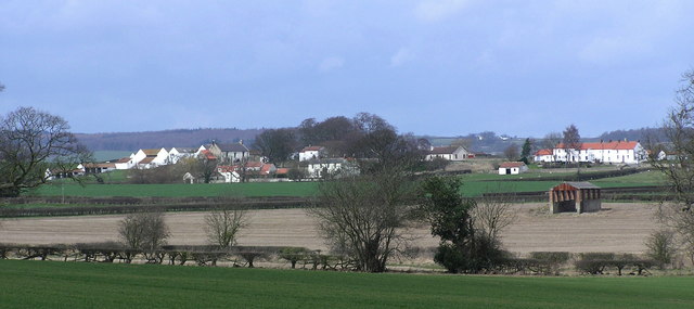
Morton Tinmouth is a picturesque village located in the county of Durham, England. Situated in the northeast region of the country, it is nestled amidst the stunning countryside that characterizes this area. With a population of around 1,500 residents, Morton Tinmouth exudes a peaceful and close-knit community atmosphere.

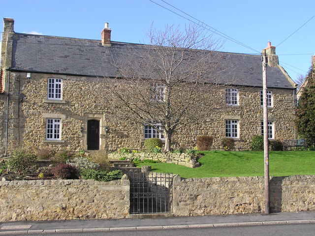
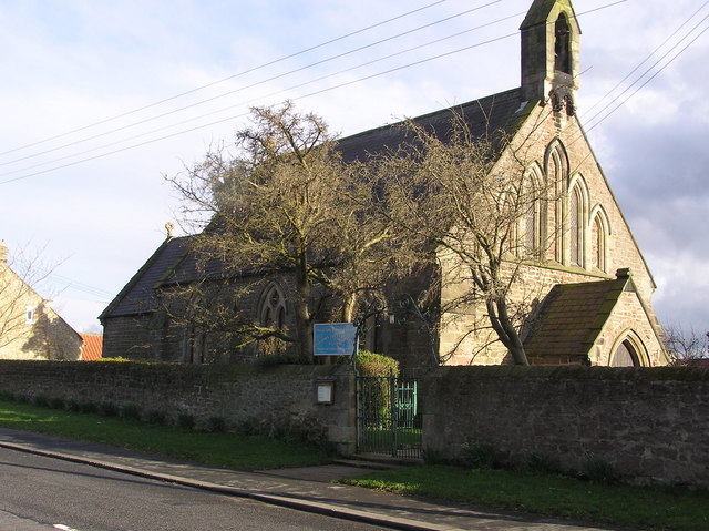
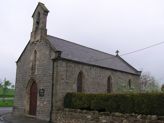
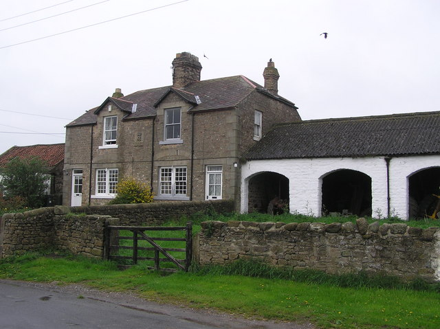
The village is renowned for its traditional architecture, with charming stone cottages lining the streets. Its history dates back to the medieval era, and remnants of its past can be seen in the form of historic timber-framed buildings and a beautiful Norman church, St. Mary's, which stands as a testament to the village's rich heritage.

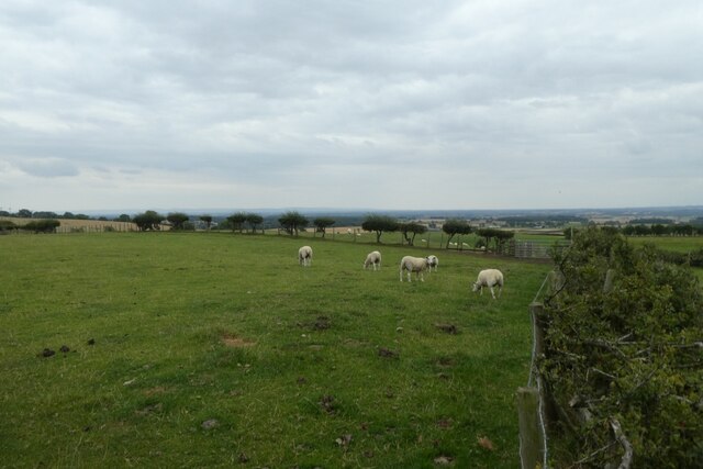
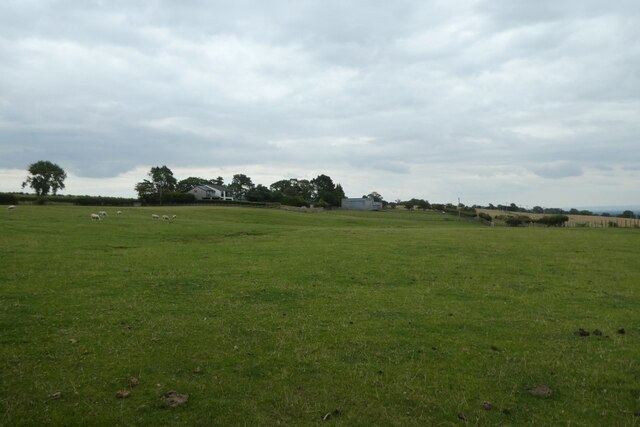
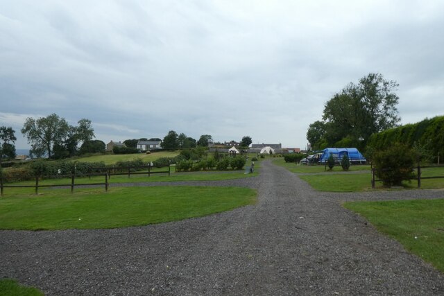
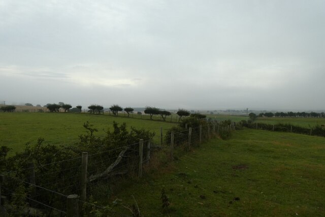
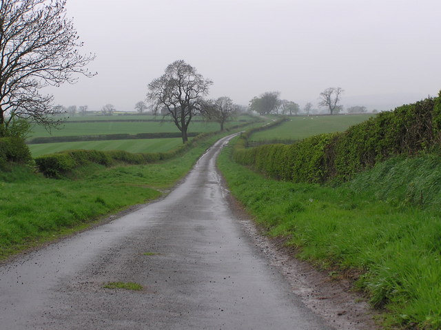
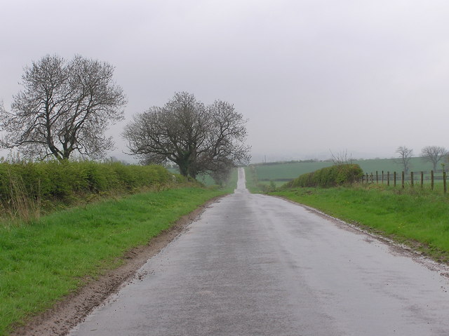
Nature lovers are in for a treat in Morton Tinmouth, as it is surrounded by lush green fields, rolling hills, and meandering rivers. The nearby Tinmouth Nature Reserve is a haven for wildlife enthusiasts, offering a chance to spot a variety of birds, mammals, and rare plant species.

The village boasts a vibrant community spirit, with several local events and festivals taking place throughout the year. The annual Tinmouth Summer Fair attracts visitors from far and wide, showcasing local crafts, produce, and entertainment.

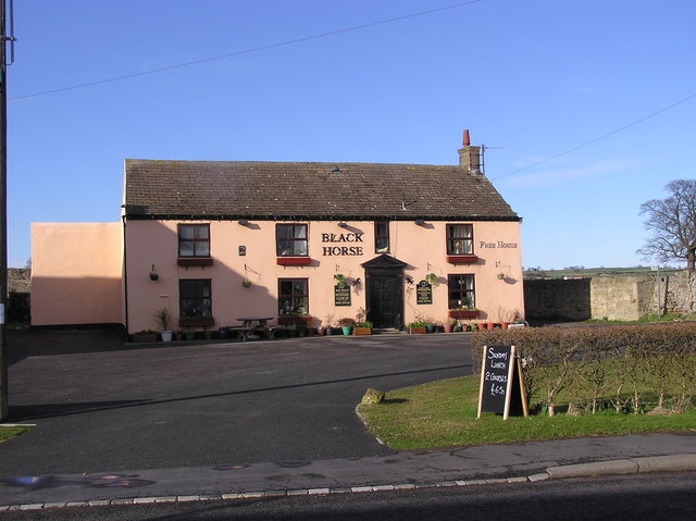
Morton Tinmouth is also well-served in terms of amenities. It has a thriving village center, boasting a handful of quaint shops, a post office, and a few cozy pubs serving delicious traditional fare.

Overall, Morton Tinmouth is a picturesque and historic village that offers a tranquil and idyllic setting for both residents and visitors. Its natural beauty, rich heritage, and strong community spirit make it a truly special place to explore and experience.

If you have any feedback on the listing, please let us know in the comments section below.

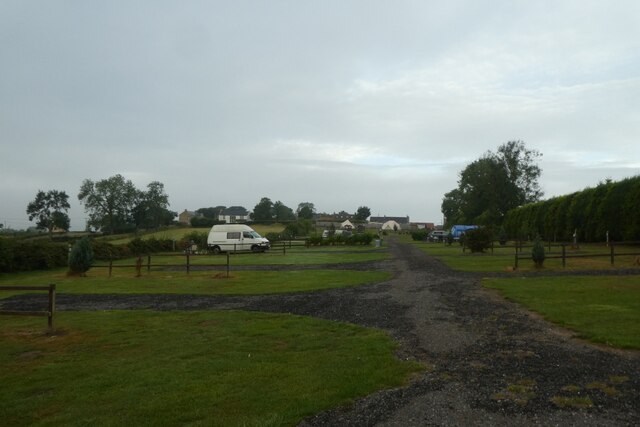
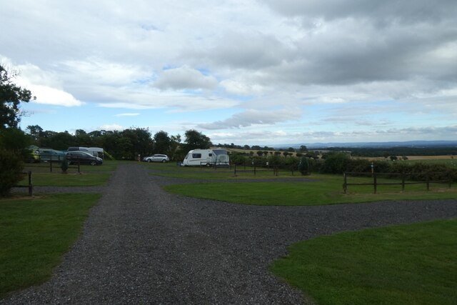
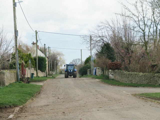
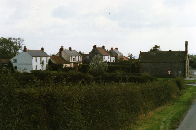
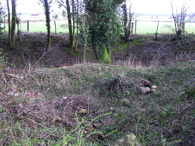
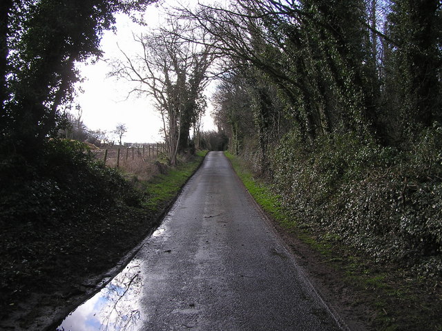
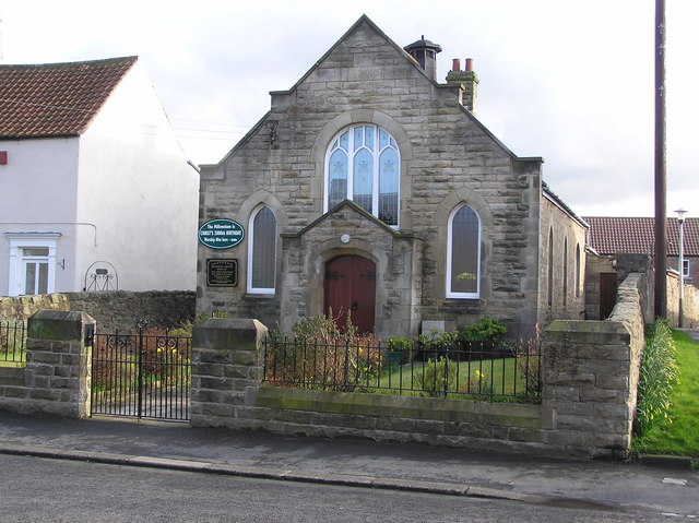
Morton Tinmouth Images

Images are sourced within 2km of 54.586049/-1.709169 or Grid Reference NZ1821. Thanks to Geograph Open Source API. All images are credited.

Sheep field beside Countryview Campsite Sheep in a field next to the campsite in Bolam.
Sheep field beside Countryview Campsite
Sheep in a field next to the campsite in Bolam.
Field beside Brownside Lane Looking across a field of sheep and horses from Countryview Campsite.
Field beside Brownside Lane
Looking across a field of sheep and horses from Countryview Campsite.
Countryview Campsite Looking along the service road through the campsite behind the pub.
Countryview Campsite
Looking along the service road through the campsite behind the pub.
Field beside Countryview Campsite Looking across a field to the south of the campsite in the early morning with a mist hanging over the valley.
Field beside Countryview Campsite
Looking across a field to the south of the campsite in the early morning with a mist hanging over the valley.
Morning at Countryview Campsite Looking across part of the Countryview Campsite.
Morning at Countryview Campsite
Looking across part of the Countryview Campsite.
Countryview campsite Looking across part of the campsite behind the public house.
Countryview campsite
Looking across part of the campsite behind the public house.
Village Street, Killerby Another of the small rural settlements in this part of County Durham.
Village Street, Killerby
Another of the small rural settlements in this part of County Durham.
Bolam village
Bolam village
Quarry (disused) One of three old quarries in the woods off Kiln Lane, Killerby.
Quarry (disused)
One of three old quarries in the woods off Kiln Lane, Killerby.
Kiln Lane, Killerby
Kiln Lane, Killerby
Ingleton : Primitive Methodist Chapel  1907
Ingleton : Primitive Methodist Chapel 1907
Old Hillside House : Ingleton, (dated 1627)
St. John the Evangelist Parish Church : Ingleton Drop circles used to define location.
St. John the Evangelist Parish Church : Ingleton
Drop circles used to define location.
Black Horse :  Ingleton
Black Horse : Ingleton
St. Andrew's Church : Bolam Parish Church of Heighington : Built 1835.
St. Andrew's Church : Bolam
Parish Church of Heighington : Built 1835.
Stobhill  Lane Looking West from Stob Hill to Hindberries.
Stobhill Lane
Looking West from Stob Hill to Hindberries.
Lane Looking South from Stob Hill; Bolam to Morton Tinmouth.
Lane
Looking South from Stob Hill; Bolam to Morton Tinmouth.
Morton Tinmouth : Raby Estates Houses ; Dated 1907 The village of Morton Tinmouth was much larger in the medieval period (1066-1540). It has now shrunken in size, and consists of North and East Farm.
Morton Tinmouth : Raby Estates Houses ; Dated 1907
The village of Morton Tinmouth was much larger in the medieval period (1066-1540). It has now shrunken in size, and consists of North and East Farm.
Show me another place!

Morton Tinmouth is located at Grid Ref: NZ1821 (Lat: 54.586049, Lng: -1.709169)

Unitary Authority: County Durham

Police Authority: Durham

What 3 Words

///stirs.react.cheeses. Near Ingleton, Co. Durham

Nearby Locations

Morton Tinmouth

Related Wikis

Morton Tinmouth

Morton Tinmouth is a hamlet of a few farms in County Durham, England. It is situated a few miles to the north-west of Darlington close to the village of...

Killerby, County Durham

Killerby is a village in the borough of Darlington and the ceremonial county of County Durham, England. It is situated a few miles to the west of Darlington...

Bolam, County Durham

Bolam is a small village located in County Durham, England. The village population (including Hilton and Morton Tinmouth) at the 2011 census was 209. It...

Ingleton, County Durham

Ingleton is a village and civil parish in County Durham, England. The population of the parish (which includes Headlam and Langton) as taken at the 2011...

Legs Cross

Legs Cross is an Anglo-Saxon cross in the parish of Bolam, County Durham, England, about 4 miles (6.4 km) north of Piercebridge on the Pilgrims' Way (the...

Hilton, County Durham

Hilton is a village and civil parish in County Durham, about 9 miles (14 km) northwest of Darlington. Nearby places are Ingleton and Staindrop. The 2011...

Langton, County Durham

Langton is a village and civil parish in County Durham, in England. It is situated to the west of Darlington, near Headlam and Ingleton. The population...

Headlam Hall

Headlam Hall is a 17th-century country house at The Green, Headlam, near Gainford, County Durham, England. It is a Grade II* listed building now in use...

Nearby Amenities

Located within 500m of 54.586049,-1.709169
Morton Tinmouth
Is In Country Code: GB
Is In County: County Durham
Place: hamlet
Source: NPE
Wikidata: Q6914957
Lat/Long: 54.586013/-1.7118677
Bus Stop
Village
Naptan AtcoCode: 13007602E
Naptan Bearing: S
Naptan CommonName: Village
Naptan Indicator: south bound
Naptan Landmark: Landmark not known
Naptan NaptanCode: durdwpmp
Naptan Notes: Opposite East Farm- Morton Tinmouth
Naptan Street: Street not known
Naptan Verified: no
Source: naptan_import
Lat/Long: 54.5859884/-1.7091086
Power: pole
Lat/Long: 54.5903997/-1.7083284
Power: pole
Lat/Long: 54.589733/-1.7093866
Power: pole
Lat/Long: 54.589043/-1.7104594
Power: pole
Lat/Long: 54.5884298/-1.7114653
Power: pole
Lat/Long: 54.5878074/-1.7124349
Power: pole
Lat/Long: 54.5871903/-1.7134045
Power: pole
Lat/Long: 54.5865826/-1.7143728
Power: pole
Lat/Long: 54.5860565/-1.7152204
Power: pole
Lat/Long: 54.5855428/-1.7160156
The data included in this document is from www.openstreetmap.org. The data is made available under ODbL.

Have you been to Morton Tinmouth?

Leave your review of Morton Tinmouth below (or comments, questions and feedback).