Morton Spirt

Settlement in Worcestershire Wychavon

England

Morton Spirt

Arable land near Abbots Morton View across arable land to the east of Abbots Morton.
Arable land near Abbots Morton Credit: Philip Halling

Morton Spirt is a small village located in the county of Worcestershire, England. Situated in the heart of the West Midlands region, Morton Spirt is surrounded by picturesque countryside, making it an ideal location for those seeking a tranquil and peaceful environment.

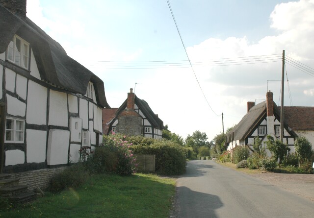
With a population of approximately 500 residents, the village exudes a close-knit community atmosphere. The architecture of the village is predominantly traditional, with charming cottages and stone houses lining its narrow streets. The village center boasts a quaint square, where locals gather for socializing and community events.

Despite its small size, Morton Spirt offers a range of amenities to its residents. There is a village hall which serves as a hub for various activities, including clubs, societies, and events. The village also features a primary school, providing education for local children.

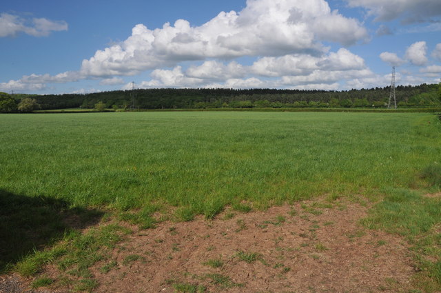
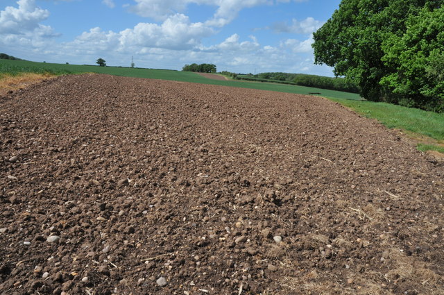
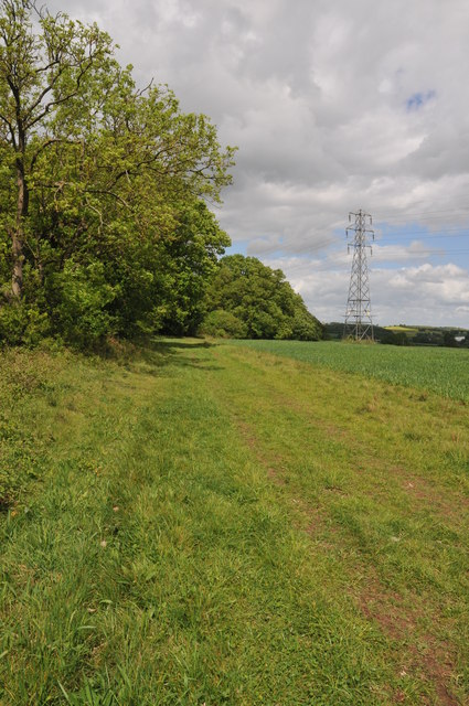
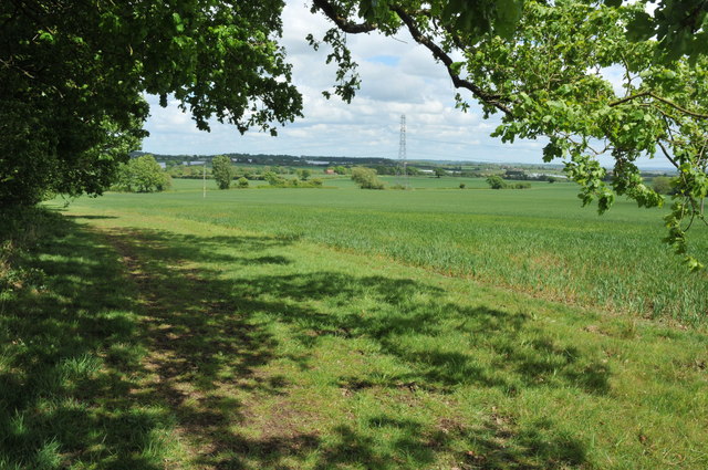
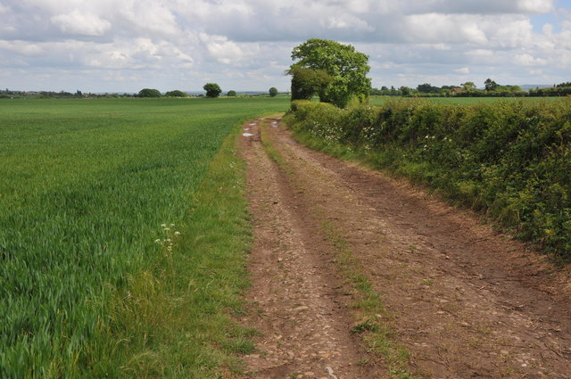
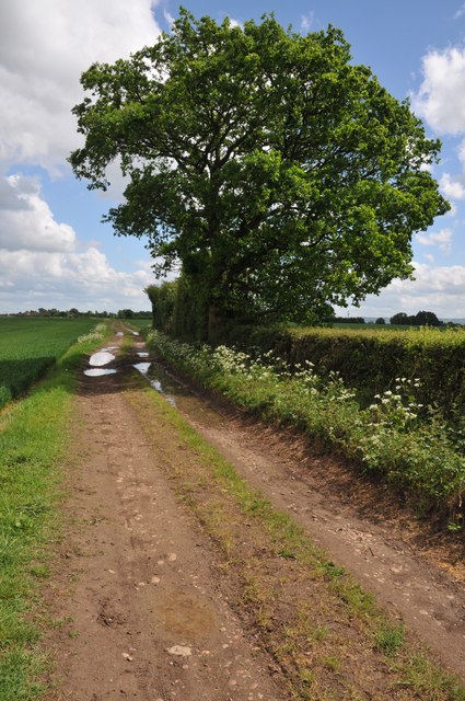
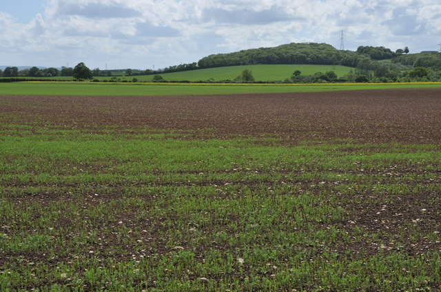
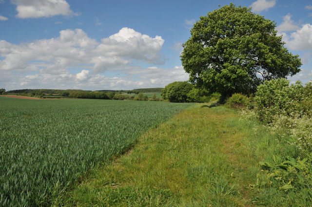
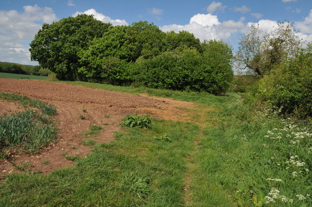
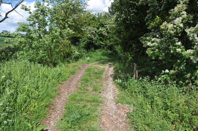
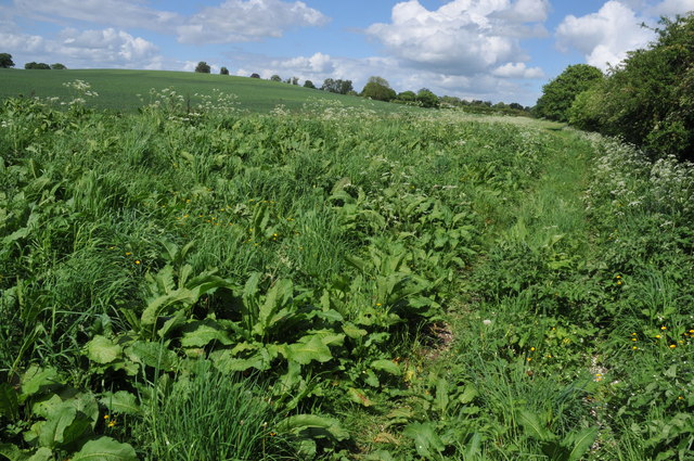
The natural beauty surrounding Morton Spirt is a notable attraction. The village is nestled in the rolling hills and lush green fields characteristic of Worcestershire. The countryside offers ample opportunities for outdoor activities such as hiking, cycling, and horseback riding. Additionally, the nearby River Avon provides opportunities for fishing and boating.

For those seeking a taste of history, Morton Spirt is in close proximity to several historic landmarks. The iconic Worcester Cathedral, dating back to the 11th century, is just a short drive away. The village is also within reach of the historic city of Worcester, known for its medieval architecture, charming streets, and vibrant cultural scene.

Overall, Morton Spirt is a peaceful and idyllic village, offering a serene lifestyle amidst stunning natural landscapes and a tight-knit community spirit.

If you have any feedback on the listing, please let us know in the comments section below.
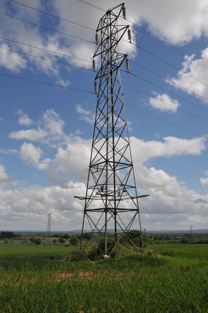
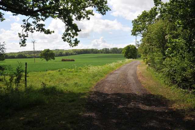
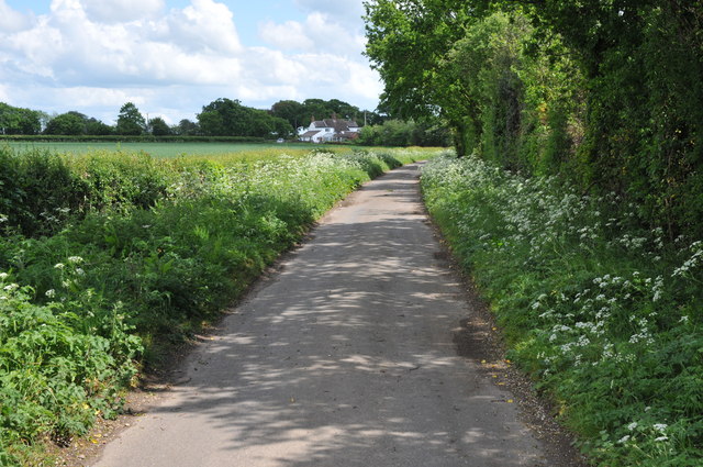
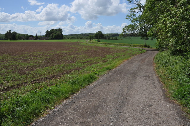
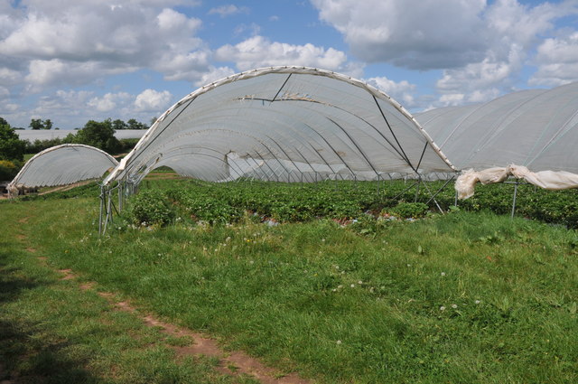
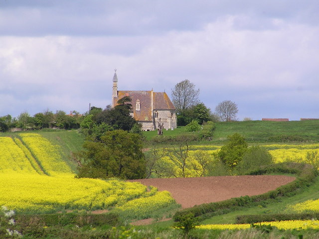
Morton Spirt Images

Images are sourced within 2km of 52.184234/-1.9429125 or Grid Reference SP0454. Thanks to Geograph Open Source API. All images are credited.

Arable land near Abbots Morton View across arable land to the east of Abbots Morton.
Arable land near Abbots Morton
View across arable land to the east of Abbots Morton.
Arable land at Cock Bevington Arable land viewed from beside a disused mine at Cock Bevington.
Arable land at Cock Bevington
Arable land viewed from beside a disused mine at Cock Bevington.
On the border This bridleway follows the hedgerow which marks the county boundary between Worcestershire and Warwickshire.
On the border
This bridleway follows the hedgerow which marks the county boundary between Worcestershire and Warwickshire.
Arable land at Bevington Waste Arable land viewed from a bridleway at Bevington Waste.
Arable land at Bevington Waste
Arable land viewed from a bridleway at Bevington Waste.
Pylons at Bevington Waste Pylons carry power cables across farmland at Bevington Waste.
Pylons at Bevington Waste
Pylons carry power cables across farmland at Bevington Waste.
Pylons in arable land, Bevington Waste Pylons carry power cables through this large arable field at Bevington Waste.
Pylons in arable land, Bevington Waste
Pylons carry power cables through this large arable field at Bevington Waste.
Track at Cock Bevington Track at Cock Bevington giving access to an electricity substation.
Track at Cock Bevington
Track at Cock Bevington giving access to an electricity substation.
Road at Cock Bevington No through road at Cock Bevington.
Road at Cock Bevington
No through road at Cock Bevington.
Road to Rose Cottage Road to Rose Cottage and Whitfield Barn at Cock Bevington.
Road to Rose Cottage
Road to Rose Cottage and Whitfield Barn at Cock Bevington.
Track to Cock Bevington Track and bridleway across arable land to Cock Bevington.
Track to Cock Bevington
Track and bridleway across arable land to Cock Bevington.
Track to Cock Bevington Track and bridleway to Cock Bevington.
Track to Cock Bevington
Track and bridleway to Cock Bevington.
Arable land at Cock Bevington View south over arable land at Cock Bevington towards Salford Coppice.
Arable land at Cock Bevington
View south over arable land at Cock Bevington towards Salford Coppice.
Footpath to Wood Bevington The footpath from Cock Bevington to Wood Bevington follows the hedgerow.
Footpath to Wood Bevington
The footpath from Cock Bevington to Wood Bevington follows the hedgerow.
Site of a disused pit This clump of trees beside a footpath from Cock Bevington to Wood Bevington grow on the site of a disused pit.
Site of a disused pit
This clump of trees beside a footpath from Cock Bevington to Wood Bevington grow on the site of a disused pit.
Crossing Ban Brook This track between fields crosses a small bridge over Ban Brook, a tributary of the River Avon.
Crossing Ban Brook
This track between fields crosses a small bridge over Ban Brook, a tributary of the River Avon.
Footpath to Wood Bevington A footpath follows the hedgerow to the side of this cereal field en route to Wood Bevington.
Footpath to Wood Bevington
A footpath follows the hedgerow to the side of this cereal field en route to Wood Bevington.
Polytunnels at Wood Bevington Polytunnels in a field beside a road at Wood Bevington.
Polytunnels at Wood Bevington
Polytunnels in a field beside a road at Wood Bevington.
Strawberries in Polytunnels There is a considerable area of land at Wood Bevington dedicated to horticulture such as strawberries cultivated here in Polytunnels.
Strawberries in Polytunnels
There is a considerable area of land at Wood Bevington dedicated to horticulture such as strawberries cultivated here in Polytunnels.
Show me another place!

Morton Spirt is located at Grid Ref: SP0454 (Lat: 52.184234, Lng: -1.9429125)

Administrative County: Worcestershire

District: Wychavon

Police Authority: West Mercia

What 3 Words

///cardinal.removers.defected. Near Inkberrow, Worcestershire

Related Wikis

Goom's Hill

Goom's Hill is a location near Abbots Morton in Worcestershire, England.

Abbots Morton

Abbots Morton is a village and civil parish in the English county of Worcestershire. It consists of approximately 70 dwellings and 250 people. It retains...

Weethley

Weethley is a village and former civil parish on the B4088 road, now in the parish of Arrow with Weethley, in the Stratford-on-Avon district, in the county...

Church Lench

Church Lench is a village and former civil parish, now in the parish of South Lenches, in the Wychavon district, in the county of Worcestershire, England...

Atch Lench

Atch Lench is a village in Worcestershire, England. == External links == Media related to Atch Lench at Wikimedia Commons Atch Lench in the Domesday Book

Radford, Worcestershire

Radford is a hamlet in the Wychavon district of Worcestershire, England. It is 1 mile SSW of Inkberrow. In 2013, Landscan population maps show there to...

Arrow with Weethley

Arrow with Weethley is a civil parish in the Stratford-on-Avon district of Warwickshire, England. The parish lies midway between Redditch and Evesham....

Jerwood Foundation's sculpture collection

The Jerwood Foundation's sculpture collection was a collection of 20th- and 21st-century sculptures. They were displayed at Ragley Hall in Warwickshire...

Nearby Amenities

Located within 500m of 52.184234,-1.9429125
Fixme: continues
Lat/Long: 52.1828962/-1.9461976
Power: tower
Source: bing
Lat/Long: 52.1860878/-1.9390819
Power: tower
Source: bing
Lat/Long: 52.1836376/-1.9388233
Power: tower
Source: bing
Lat/Long: 52.1798987/-1.9439051
Power: tower
Source: bing
Lat/Long: 52.1814428/-1.9439227
Power: tower
Source: bing
Lat/Long: 52.1828186/-1.9439403
Power: tower
Source: bing
Lat/Long: 52.1842977/-1.9439506
Power: tower
Source: bing
Lat/Long: 52.187235/-1.9463523
Power: tower
Source: bing
Lat/Long: 52.1857419/-1.9451185
Power: pole
Lat/Long: 52.1810203/-1.9403633
Power: pole
Lat/Long: 52.1817344/-1.9406265
Power: pole
Lat/Long: 52.1825122/-1.9409688
Power: pole
Lat/Long: 52.1832808/-1.9412733
Power: pole
Lat/Long: 52.184066/-1.9416034
Power: pole
Lat/Long: 52.1848203/-1.9419237
Power: pole
Lat/Long: 52.1854004/-1.942165
Power: pole
Lat/Long: 52.1861192/-1.9424539
Power: pole
Lat/Long: 52.1868389/-1.9427497
Power: pole
Lat/Long: 52.187448/-1.9430349
Power: pole
Lat/Long: 52.1881037/-1.9434642
Power: pole
Lat/Long: 52.1836455/-1.9363537
Power: pole
Lat/Long: 52.183569/-1.9375017
Power: pole
Lat/Long: 52.1834802/-1.9386417
Power: pole
Lat/Long: 52.1833815/-1.9399694
The data included in this document is from www.openstreetmap.org. The data is made available under ODbL.

Have you been to Morton Spirt?

Leave your review of Morton Spirt below (or comments, questions and feedback).