Hanging Wood
Wood, Forest in Worcestershire Wychavon
England
Hanging Wood
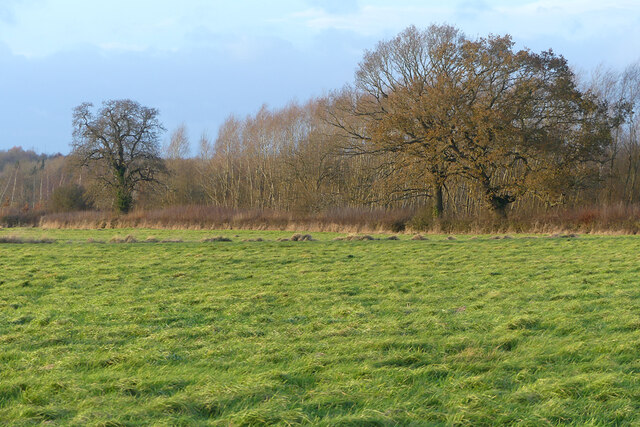
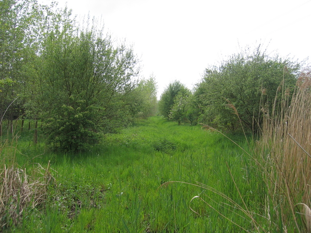
Hanging Wood is a picturesque and enchanting woodland located in Worcestershire, England. Covering an area of approximately 100 acres, this ancient forest is renowned for its natural beauty and rich biodiversity. Nestled in the heart of the Worcestershire countryside, Hanging Wood offers visitors a tranquil escape from the hustle and bustle of everyday life.
The woodland is predominantly composed of a mix of broadleaf trees, including oak, ash, beech, and birch, creating a diverse and vibrant ecosystem. The dense canopy provides a cool and shaded environment, making Hanging Wood a pleasant place to visit even on hot summer days.
The forest floor is adorned with a carpet of wildflowers and ferns, adding to the wood's natural charm. Numerous species of mosses and lichens can also be found clinging to the trees, further enhancing the woodland's magical atmosphere.
Hanging Wood is not only a haven for nature enthusiasts but also serves as a habitat for a variety of wildlife. Visitors may spot red deer, foxes, badgers, and a wide range of bird species, including woodpeckers and owls. The tranquil nature of the wood makes it an ideal location for birdwatching and wildlife photography.
Several footpaths wind their way through Hanging Wood, allowing visitors to explore and appreciate its beauty. These well-maintained trails make it accessible to walkers of all ages and abilities, providing a wonderful opportunity to experience the serene ambiance and marvel at the wonders of nature.
In summary, Hanging Wood in Worcestershire is a stunning and biodiverse forest that offers visitors a peaceful retreat in a natural setting. Its ancient trees, vibrant flora, and diverse wildlife make it a must-visit destination for nature lovers and those seeking a moment of tranquility in the heart of the English countryside.
If you have any feedback on the listing, please let us know in the comments section below.
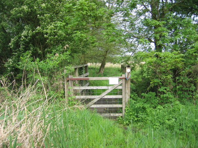
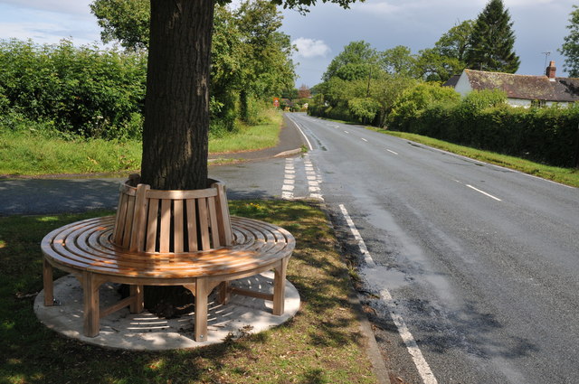
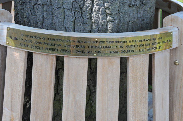
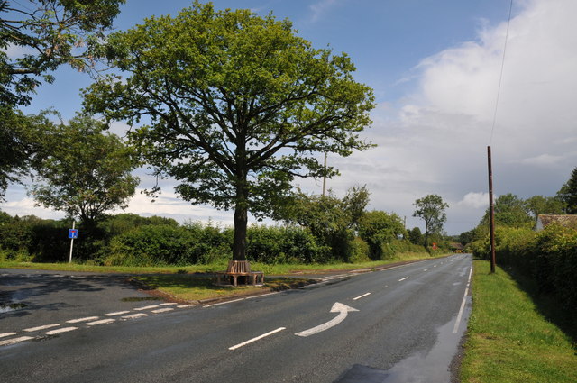
Hanging Wood Images
Images are sourced within 2km of 52.233917/-1.9751359 or Grid Reference SP0159. Thanks to Geograph Open Source API. All images are credited.


Hanging Wood is located at Grid Ref: SP0159 (Lat: 52.233917, Lng: -1.9751359)
Administrative County: Worcestershire
District: Wychavon
Police Authority: West Mercia
What 3 Words
///palettes.blubber.living. Near Inkberrow, Worcestershire
Nearby Locations
Related Wikis

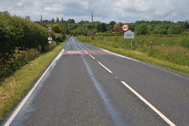
Holberrow Green
Holberrow Green is a village in Worcestershire, England. == External links == Media related to Holberrow Green at Wikimedia Commons
Sporting Club Inkberrow F.C.
Sporting Club Inkberrow Football Club is a football club based in Inkberrow, England. They are currently members of the Hellenic League Division One and...

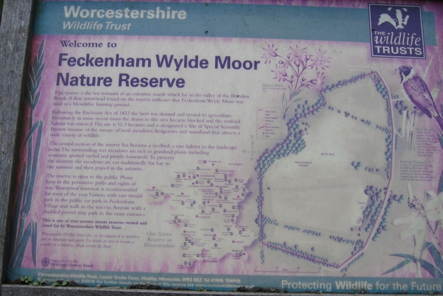
Feckenham
Feckenham is a village and civil parish in the Borough of Redditch in Worcestershire, England. It lies some 4 miles (6 km) south-west of the town of Redditch...

Little Inkberrow
Little Inkberrow is a village in Worcestershire, England. Ralph Ardern inherited the Worcestershire manor of Little Inkberrow between 1382 (the death...
Inkberrow Castle
Inkberrow Castle was situated in the village of Inkberrow in Worcestershire, some 10 km south of Redditch (grid reference SP017572). It was a castle built...
Inkberrow
Inkberrow is a village in Worcestershire, England, often thought to be the model for Ambridge, the setting of BBC Radio 4's long-running series The Archers...

Redditch (UK Parliament constituency)
Redditch is a constituency in Worcestershire, England, represented in the House of Commons of the UK Parliament since 2017 by Rachel Maclean of the Conservative...
Ham Green, Worcestershire
Ham Green is a hamlet outside Redditch, Worcestershire. It lies in between the villages of Feckenham, Callow Hill, Elcocks Brook & Cruise Hill.
Nearby Amenities
Located within 500m of 52.233917,-1.9751359Have you been to Hanging Wood?
Leave your review of Hanging Wood below (or comments, questions and feedback).