Beltingham
Settlement in Northumberland
England
Beltingham
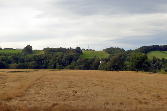
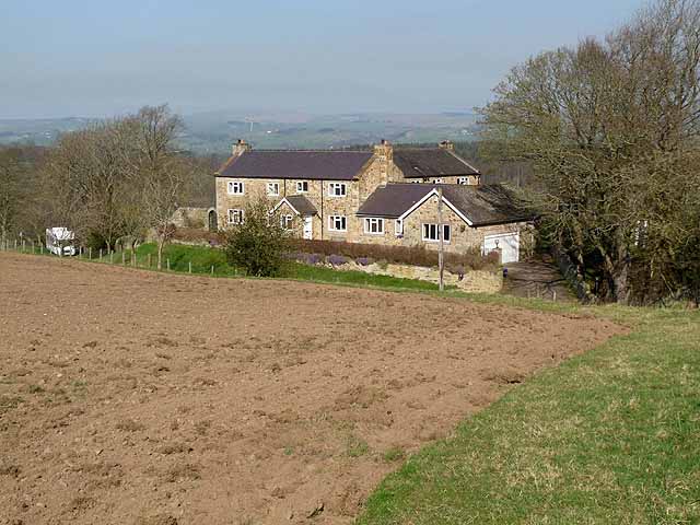
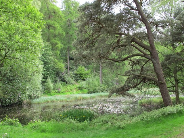
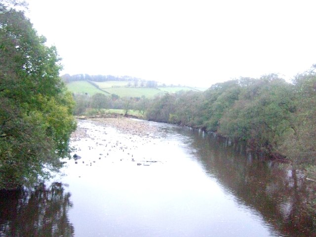
Beltingham is a small village located in the county of Northumberland, England. Situated in the Tyne Valley, it lies approximately 10 miles west of Hexham and is surrounded by picturesque countryside. The village is nestled along the banks of the River South Tyne, offering stunning views and a tranquil atmosphere.
Beltingham is known for its rich history, with evidence of settlement dating back to Roman times. The village is home to several historic buildings, including Beltingham House, a Grade II listed Georgian mansion built in the late 18th century. The house is set within beautiful grounds and is a prominent feature of the village.
The community in Beltingham is close-knit, with a population of around 200 people. The village has a strong sense of community spirit, organizing various events and activities throughout the year. The local pub, The Duke of Wellington, serves as a popular gathering spot for residents and visitors, offering a warm and friendly atmosphere.
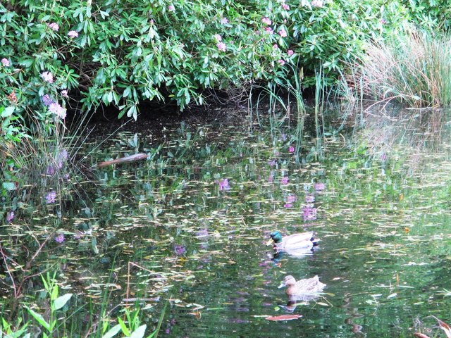
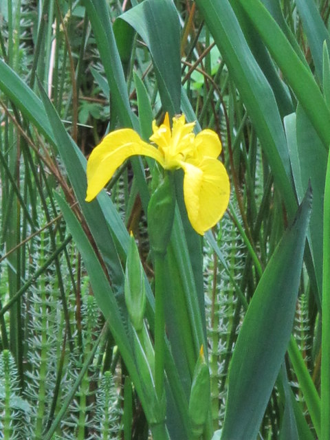
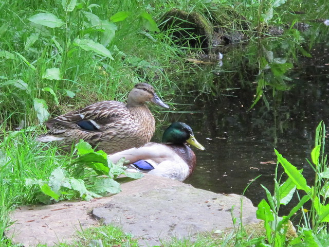
Nature lovers will appreciate Beltingham's surroundings, as the village is located within close proximity to Northumberland National Park. This allows for easy access to stunning landscapes, walking trails, and outdoor recreational activities. The area is also known for its wildlife, with opportunities for birdwatching and spotting other native species.
While Beltingham may be small in size, its charm and natural beauty make it a desirable place to live or visit. With its rich history, friendly community, and stunning surroundings, Beltingham offers a peaceful retreat from the hustle and bustle of city life.
If you have any feedback on the listing, please let us know in the comments section below.
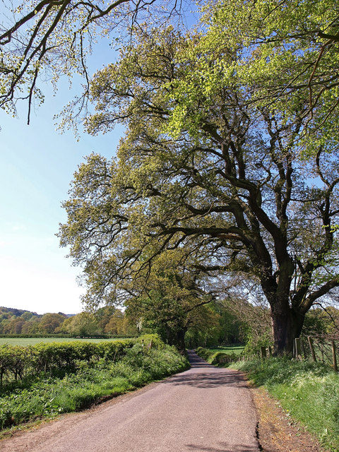
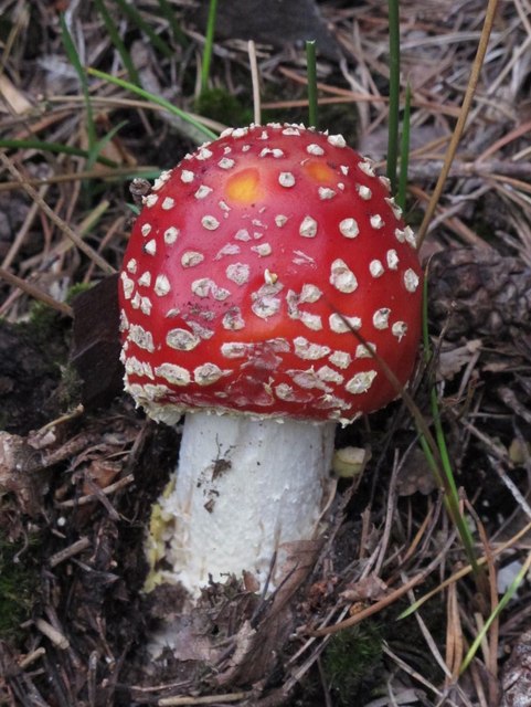
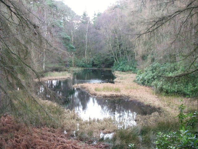
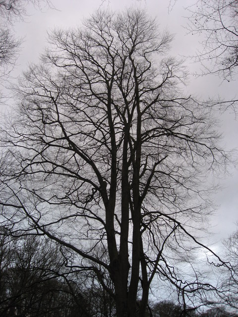
Beltingham Images
Images are sourced within 2km of 54.969301/-2.327843 or Grid Reference NY7963. Thanks to Geograph Open Source API. All images are credited.


Beltingham is located at Grid Ref: NY7963 (Lat: 54.969301, Lng: -2.327843)
Unitary Authority: Northumberland
Police Authority: Northumbria
What 3 Words
///glimmers.craftsmen.scuba. Near Bardon Mill, Northumberland
Related Wikis

Ridley Hall, Northumberland
Ridley Hall is an 18th-century country house, now a residential and conference centre, at Bardon Mill, Northumberland. It is a Grade II listed building...

Beltingham
Beltingham is a small village on the River South Tyne in Northumberland, in England. It is situated 1 mile (2 km) southeast of Bardon Mill and 10 miles...
Beltingham River Shingle
Beltingham River Shingle is the name given to a Site of Special Scientific Interest (SSSI) in Northumberland in the north-east of England, notable for...

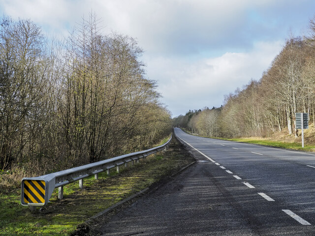
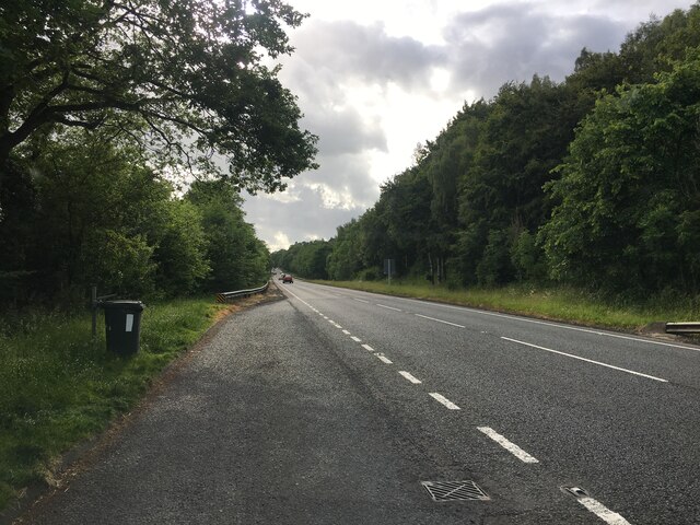
A69 road
The A69 is a major northern trunk road in England, running east–west across the Pennines, through the counties of Tyne and Wear, Northumberland and Cumbria...

Bardon Mill
Bardon Mill is a small village in Northumberland, within the vicinity of the ancient Hadrian's Wall. It is located around 10+1⁄2 miles (17 kilometres)...

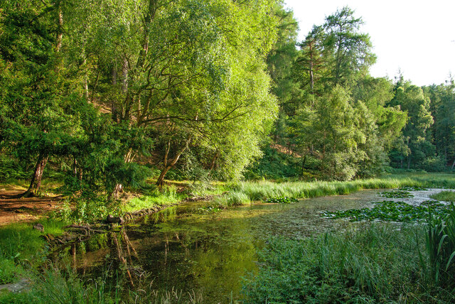
Allen Banks & Staward Gorge
Allen Banks & Staward Gorge is National Trust property in the English county of Northumberland. It is a Victorian garden in a gorge of the River Allen...

Bardon Mill railway station
Bardon Mill is a railway station on the Tyne Valley Line, which runs between Newcastle and Carlisle via Hexham. The station, situated 27 miles 54 chains...

River Allen, Northumberland
The River Allen is a river in the English county of Northumberland. The river has its sources in the hills of the Northern Pennines, and is formed by the...
Nearby Amenities
Located within 500m of 54.969301,-2.327843Have you been to Beltingham?
Leave your review of Beltingham below (or comments, questions and feedback).