Beltoft
Settlement in Lincolnshire
England
Beltoft
Beltoft is a small village located in the county of Lincolnshire, England. Situated in the North Lincolnshire district, it is nestled in the picturesque Isle of Axholme region. Beltoft is approximately 10 miles north of Gainsborough and 16 miles west of Scunthorpe.
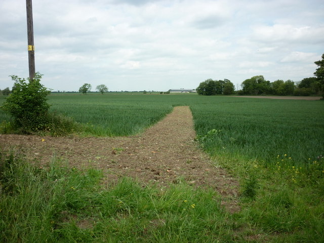
The village is characterized by its rural charm and tranquil setting. Surrounded by lush green fields and farmland, it offers a peaceful retreat from the bustle of city life. Beltoft is home to a close-knit community, with a population of around 200 people.
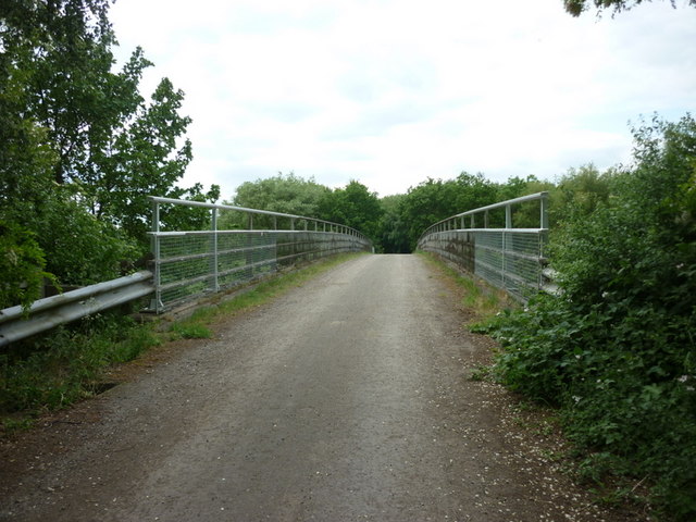
The village is known for its beautiful countryside, offering plenty of opportunities for outdoor activities such as walking, cycling, and horse riding. It is also famous for its rich agricultural heritage. The fertile soil and favorable climate of the Isle of Axholme make it an ideal location for farming, and Beltoft is no exception. The fields surrounding the village are often filled with crops such as wheat, barley, and oilseed rape.
Despite its small size, Beltoft has a strong sense of community. The village has a local pub, The White Swan, which serves as a gathering place for residents and visitors alike. Additionally, there is a village hall where various events and activities take place throughout the year, fostering a sense of togetherness among the villagers.
Overall, Beltoft offers a picturesque and idyllic setting for those seeking a peaceful countryside retreat while still being within a reasonable distance of nearby towns and amenities.
If you have any feedback on the listing, please let us know in the comments section below.
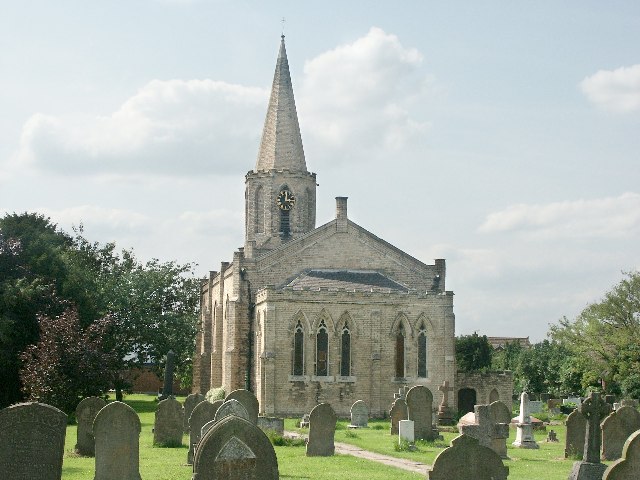
Beltoft Images
Images are sourced within 2km of 53.5498/-0.780416 or Grid Reference SE8006. Thanks to Geograph Open Source API. All images are credited.


Beltoft is located at Grid Ref: SE8006 (Lat: 53.5498, Lng: -0.780416)
Division: Parts of Lindsey
Unitary Authority: North Lincolnshire
Police Authority: Humberside
What 3 Words
///crumples.mouse.alpha. Near Belton, Lincolnshire
Nearby Locations
Related Wikis

Beltoft
Beltoft is a hamlet in the civil parish of Belton , North Lincolnshire, England. The village lies within the Isle of Axholme and is 4 miles (6 km) south...

Brigg and Goole (UK Parliament constituency)
Brigg and Goole is a constituency in Yorkshire and Lincolnshire represented in the House of Commons of the UK Parliament since 2010 by Andrew Percy, a...

Isle of Axholme Rural District
Isle of Axholme was a rural district in Lincolnshire, Parts of Lindsey from 1894 to 1974. It was formed under the Local Government Act 1894 based on the...
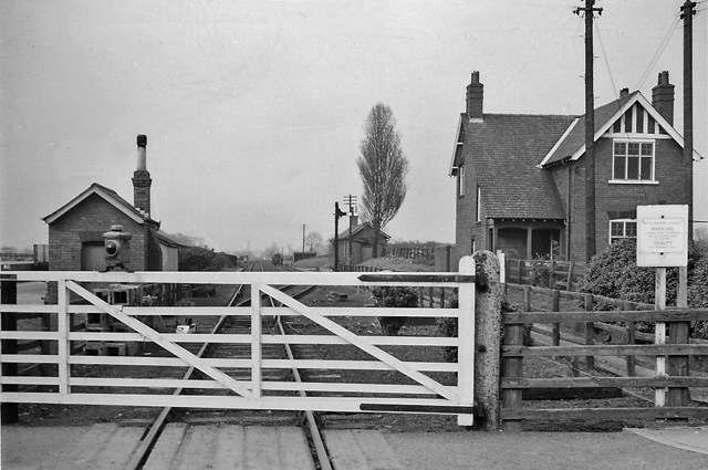
Belton railway station
Belton railway station was a station that served the village of Belton on the Isle of Axholme in Lincolnshire, England on the Axholme Joint Railway....
Belton, North Lincolnshire
Belton is a village and civil parish in the Isle of Axholme area of North Lincolnshire, England. It is situated on the A161 road, and approximately 6 miles...
West Butterwick
West Butterwick is a village and civil parish in North Lincolnshire, England. It lies in the Isle of Axholme, approximately 4 miles (6 km) north-east...

Bracon
Bracon is a hamlet in North Lincolnshire, England. Bracon lies within the Isle of Axholme and the civil parish of Belton, a village to the north to which...

East Butterwick
East Butterwick is a village and civil parish in North Lincolnshire, England. It lies in the Isle of Axholme, about 4 miles (6 km) north-east from Epworth...
Nearby Amenities
Located within 500m of 53.5498,-0.780416Have you been to Beltoft?
Leave your review of Beltoft below (or comments, questions and feedback).