Belton
Settlement in Lincolnshire
England
Belton

Belton is a small village located in the county of Lincolnshire, in the East Midlands region of England. It is situated approximately 6 miles south of the town of Grantham and about 20 miles north of the city of Peterborough. Belton falls within the civil parish of Belton and Manthorpe and is part of the South Kesteven district.
The village is surrounded by picturesque countryside, characterized by rolling hills, lush green fields, and charming rural landscapes. Belton itself is a tranquil and close-knit community, with a population of around 800 residents. The village boasts a delightful mix of traditional cottages and modern houses, creating a charming and inviting atmosphere.
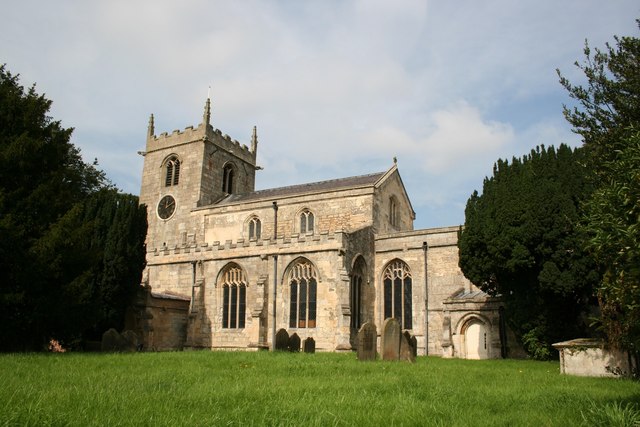
Belton is known for its rich history, with several historic buildings and landmarks scattered throughout the area. One of the most notable is Belton House, a stunning Grade I listed country house that dates back to the late 17th century. Belton House is surrounded by vast parkland and gardens, which attract visitors from far and wide.
Despite its small size, Belton offers a range of amenities and services to its residents and visitors. These include a village hall, a primary school, a post office, a pub, and a few local shops. The village also benefits from excellent transport links, with easy access to nearby towns and cities via the A1 road and a train station in Grantham.
Overall, Belton is a charming and historic village, offering a peaceful and idyllic living environment for its residents, as well as a delightful destination for visitors seeking a taste of traditional English countryside.
If you have any feedback on the listing, please let us know in the comments section below.
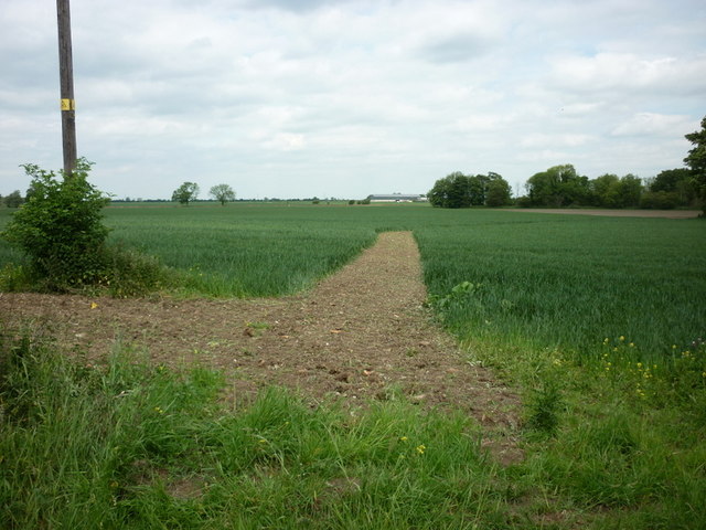
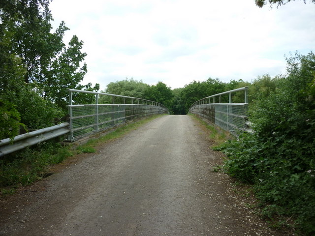
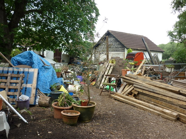
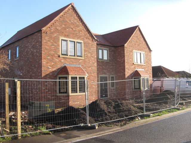
Belton Images
Images are sourced within 2km of 53.552556/-0.816746 or Grid Reference SE7806. Thanks to Geograph Open Source API. All images are credited.


Belton is located at Grid Ref: SE7806 (Lat: 53.552556, Lng: -0.816746)
Division: Parts of Lindsey
Unitary Authority: North Lincolnshire
Police Authority: Humberside
What 3 Words
///walks.prongs.bookshelf. Near Belton, Lincolnshire
Nearby Locations
Related Wikis
Belton, North Lincolnshire
Belton is a village and civil parish in the Isle of Axholme area of North Lincolnshire, England. It is situated on the A161 road, and approximately 6 miles...

Bracon
Bracon is a hamlet in North Lincolnshire, England. Bracon lies within the Isle of Axholme and the civil parish of Belton, a village to the north to which...
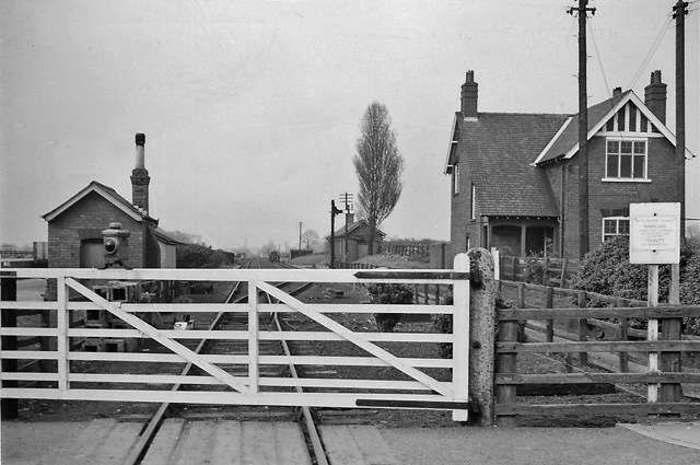
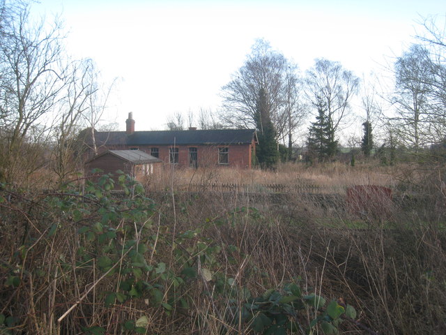
Belton railway station
Belton railway station was a station that served the village of Belton on the Isle of Axholme in Lincolnshire, England on the Axholme Joint Railway....

Brigg and Goole (UK Parliament constituency)
Brigg and Goole is a constituency in Yorkshire and Lincolnshire represented in the House of Commons of the UK Parliament since 2010 by Andrew Percy, a...

Isle of Axholme Rural District
Isle of Axholme was a rural district in Lincolnshire, Parts of Lindsey from 1894 to 1974. It was formed under the Local Government Act 1894 based on the...
Belshaw
Belshaw is a Site of Special Scientific Interest (SSSI) in Lincolnshire, England. It lies to the west of the village of Belton in the Isle of Axholme...

Beltoft
Beltoft is a hamlet in the civil parish of Belton , North Lincolnshire, England. The village lies within the Isle of Axholme and is 4 miles (6 km) south...

Epworth railway station
Epworth railway station was a station that served the town of Epworth, on the Isle of Axholme in Lincolnshire, England. == References ==
Nearby Amenities
Located within 500m of 53.552556,-0.816746Have you been to Belton?
Leave your review of Belton below (or comments, questions and feedback).