Belton

Settlement in Leicestershire North West Leicestershire

England

Belton

Footpath by the brook, Osgathorpe
Footpath by the brook, Osgathorpe Credit: Jonathan Thacker

Belton is a small village located in the county of Leicestershire, England. Situated approximately 5 miles southwest of the town of Loughborough, Belton is a rural settlement with a population of around 1,000 residents. The village is part of the North West Leicestershire district.

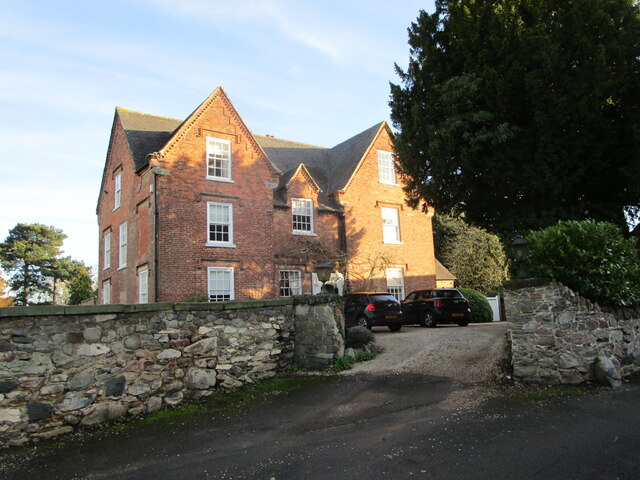
Belton boasts a rich history, with evidence of human habitation in the area dating back to the Roman period. The village has several notable landmarks, including the Grade II listed Belton House, a stately home built in the 17th century. Belton House is renowned for its stunning architecture and picturesque gardens, attracting visitors from far and wide.

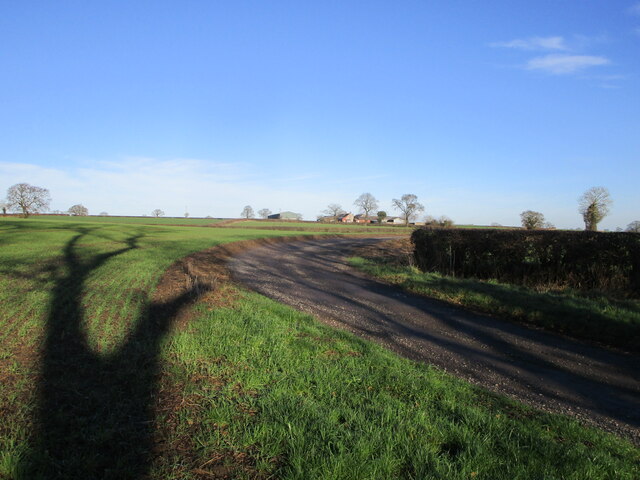
The village itself is characterized by its picturesque countryside setting, with rolling hills and charming rural landscapes. The local economy is primarily centered around agriculture, with farming playing a significant role in the community.

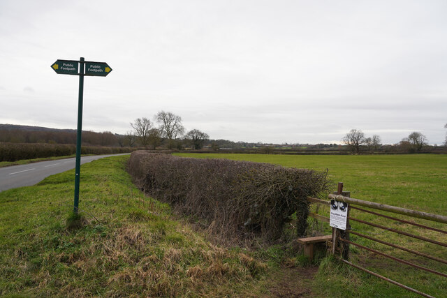
Belton offers a range of amenities to its residents, including a primary school, a village hall, and a local pub. There are also various recreational opportunities available, such as walking and cycling routes, allowing residents and visitors to explore the beautiful surrounding countryside.

Transport links in Belton are limited, with the village being predominantly accessed by country roads. However, it is well connected to neighboring towns and cities, with good road links to Loughborough and Leicester.

Overall, Belton is a tranquil and idyllic village that offers a peaceful countryside lifestyle, steeped in history and natural beauty.

If you have any feedback on the listing, please let us know in the comments section below.
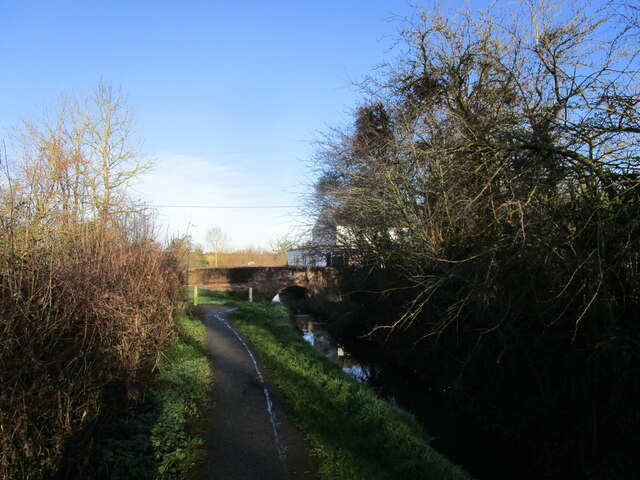
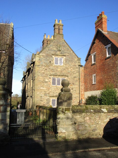
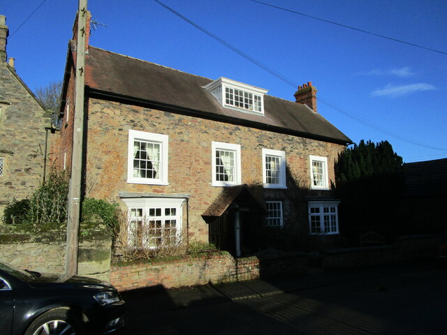
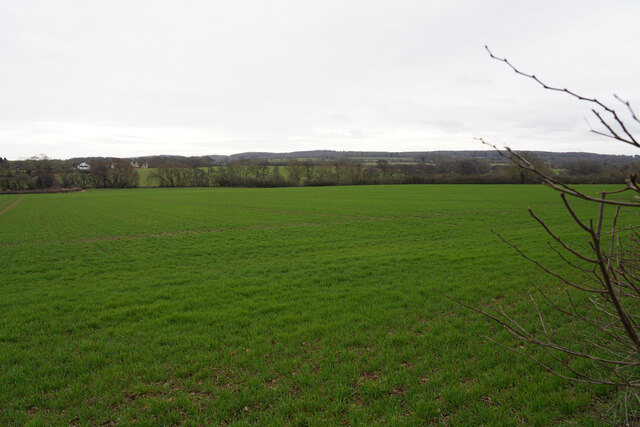
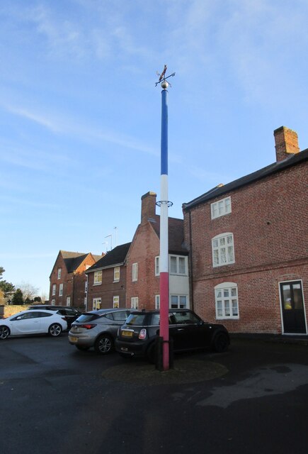
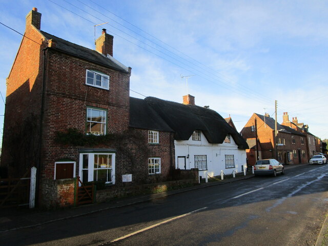
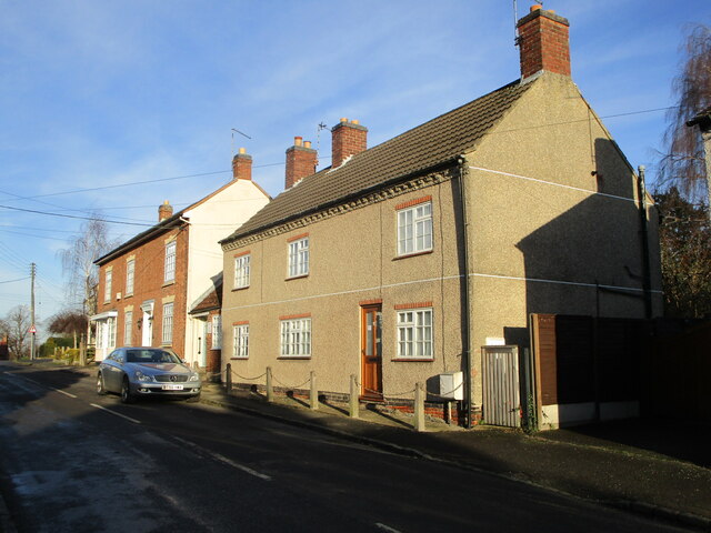
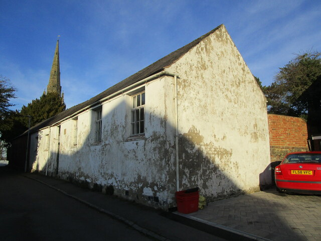
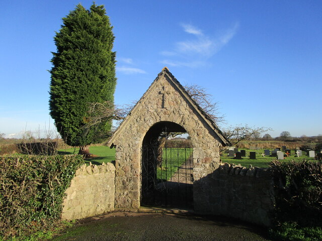
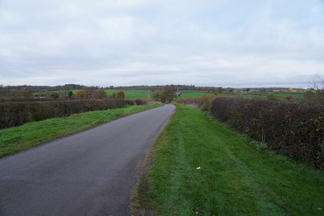
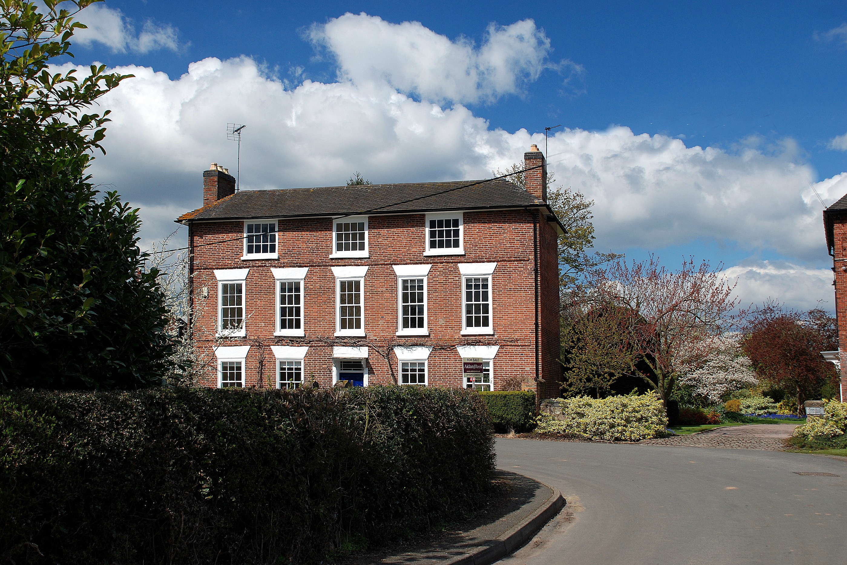
Belton Images

Images are sourced within 2km of 52.782017/-1.339489 or Grid Reference SK4420. Thanks to Geograph Open Source API. All images are credited.

Footpath by the brook, Osgathorpe
Field off Grace Dieu Lane
The Residence, Osgathorpe Built as almshouses in 1670 <span class="nowrap"><a title="https://historicengland.org.uk/listing/the-list/list-entry/1361250?section=official-listing" rel="nofollow ugc noopener" href="https://historicengland.org.uk/listing/the-list/list-entry/1361250?section=official-listing">Link</a><img style="margin-left:2px;" alt="External link" title="External link - shift click to open in new window" src="https://s1.geograph.org.uk/img/external.png" width="10" height="10"/></span>
The Residence, Osgathorpe
Built as almshouses in 1670 LinkExternal link
The Old Rectory, Osgathorpe Dates from 1837 <span class="nowrap"><a title="https://historicengland.org.uk/listing/the-list/list-entry/1177417?section=official-listing" rel="nofollow ugc noopener" href="https://historicengland.org.uk/listing/the-list/list-entry/1177417?section=official-listing">Link</a><img style="margin-left:2px;" alt="External link" title="External link - shift click to open in new window" src="https://s1.geograph.org.uk/img/external.png" width="10" height="10"/></span>
The Old Rectory, Osgathorpe
Dates from 1837 LinkExternal link
Fresh growth in the field It is only February but the warm sunny weather appears to have stimulated the growth of the crop.
Fresh growth in the field
It is only February but the warm sunny weather appears to have stimulated the growth of the crop.
Gracedieu Lane Looking along Gracedieu Lane past the sign for a public footpath and a style to get onot it.
Gracedieu Lane
Looking along Gracedieu Lane past the sign for a public footpath and a style to get onot it.
Forest Lane Looking north along Forest Lane.
Forest Lane
Looking north along Forest Lane.
Looking towards Hookhill Wood The field I think is just pasture as it looks quite rough.
Looking towards Hookhill Wood
The field I think is just pasture as it looks quite rough.
Track to Woodside Farm
Church of St. John the Baptist, Belton Largely fourteenth century church <span class="nowrap"><a title="https://historicengland.org.uk/listing/the-list/list-entry/1074123?section=official-listing" rel="nofollow ugc noopener" href="https://historicengland.org.uk/listing/the-list/list-entry/1074123?section=official-listing">Link</a><img style="margin-left:2px;" alt="External link" title="External link - shift click to open in new window" src="https://s1.geograph.org.uk/img/external.png" width="10" height="10"/></span>
Church of St. John the Baptist, Belton
Largely fourteenth century church LinkExternal link
Autumn sown crop near Top Merril Grange
The Old Vicarage, Belton Has an eighteenth century core with additions of 1841-2 <span class="nowrap"><a title="https://historicengland.org.uk/listing/the-list/list-entry/1074124?section=official-listing" rel="nofollow ugc noopener" href="https://historicengland.org.uk/listing/the-list/list-entry/1074124?section=official-listing">Link</a><img style="margin-left:2px;" alt="External link" title="External link - shift click to open in new window" src="https://s1.geograph.org.uk/img/external.png" width="10" height="10"/></span>
The Old Vicarage, Belton
Has an eighteenth century core with additions of 1841-2 LinkExternal link
Maypole, Belton
Maypole, Belton
16  and 14 Long Street, Belton 16, closest to the camera, dates from the eighteenth century <span class="nowrap"><a title="https://historicengland.org.uk/listing/the-list/list-entry/1074122?section=official-listing" rel="nofollow ugc noopener" href="https://historicengland.org.uk/listing/the-list/list-entry/1074122?section=official-listing">Link</a><img style="margin-left:2px;" alt="External link" title="External link - shift click to open in new window" src="https://s1.geograph.org.uk/img/external.png" width="10" height="10"/></span> 14, with thatched roof, dates from the seventeenth century <span class="nowrap"><a title="https://historicengland.org.uk/listing/the-list/list-entry/1074121?section=official-listing" rel="nofollow ugc noopener" href="https://historicengland.org.uk/listing/the-list/list-entry/1074121?section=official-listing">Link</a><img style="margin-left:2px;" alt="External link" title="External link - shift click to open in new window" src="https://s1.geograph.org.uk/img/external.png" width="10" height="10"/></span>
16 and 14 Long Street, Belton
16, closest to the camera, dates from the eighteenth century LinkExternal link 14, with thatched roof, dates from the seventeenth century LinkExternal link
Houses, Long Street, Belton
Green Memorial Hall, Belton
Lychgate, Osgathorpe Cemetery
Breedon Lane Taken from the entrance to a small cemetery whilst looking along Breedon Lane.
Breedon Lane
Taken from the entrance to a small cemetery whilst looking along Breedon Lane.
Show me another place!

Belton is located at Grid Ref: SK4420 (Lat: 52.782017, Lng: -1.339489)

Administrative County: Leicestershire

District: North West Leicestershire

Police Authority: Leicestershire

What 3 Words

///success.breathing.ears. Near Shepshed, Leicestershire

Nearby Locations

Belton Belton

Related Wikis

Belton, Leicestershire

Belton is a small village and civil parish in the North West Leicestershire district of Leicestershire, England. The village is located approximately 2...

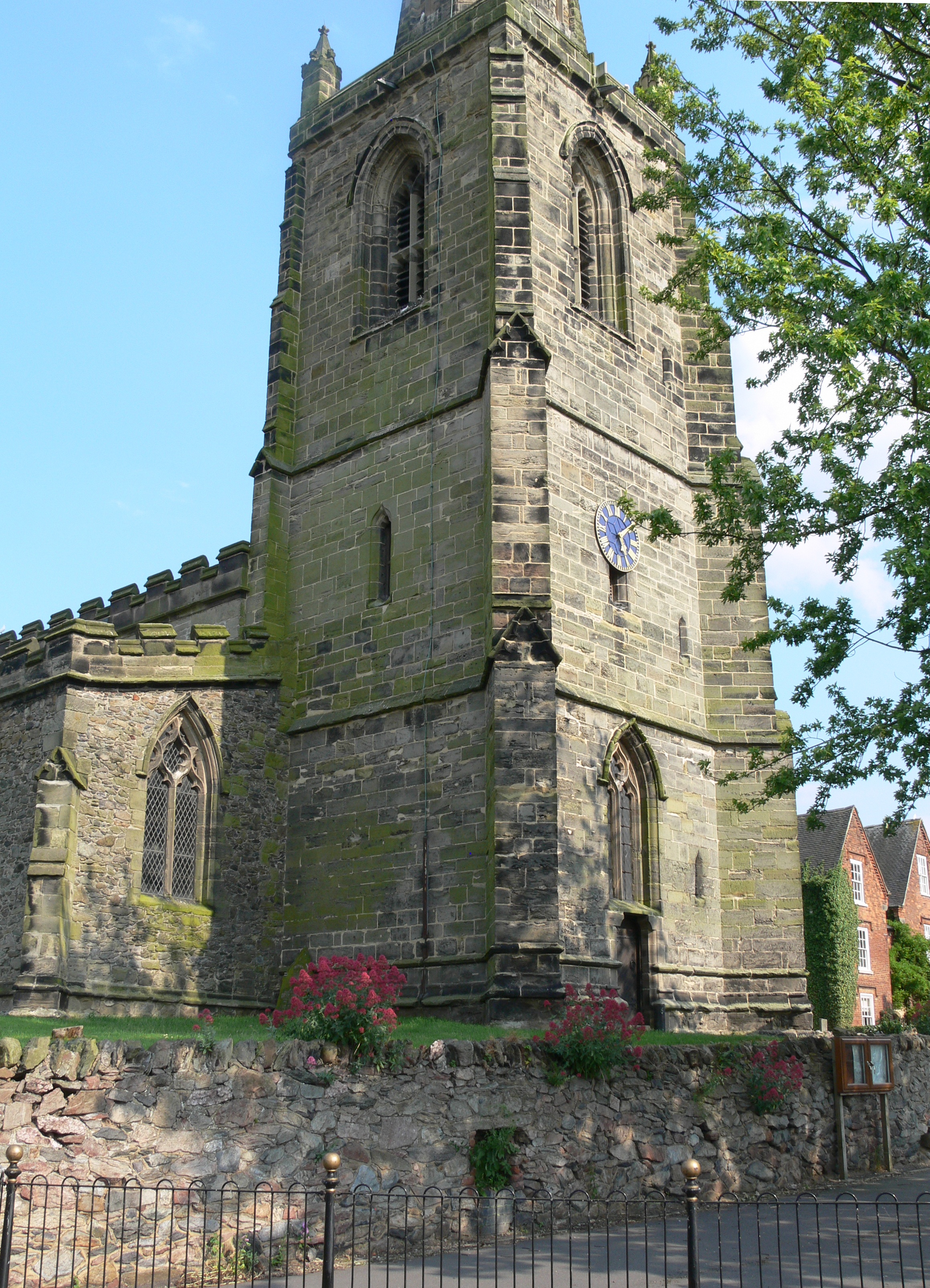
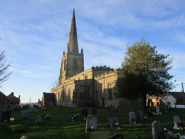
Church of St John the Baptist, Belton

The Church of St John the Baptist is a church in Belton, Leicestershire. It is a Grade II* listed building. == History == The church is built in the Early...

Osgathorpe

Osgathorpe is a small village which lies in a fold of the hills in North West Leicestershire, England, and is about a quarter of a mile from the A512 Coalville...

A512 road

The A512 is an A road entirely in Leicestershire, UK. It links the primary destination of Loughborough with the M1, A42 road, and the town of Ashby de...

Nearby Amenities

Located within 500m of 52.782017,-1.339489
Turning Circle
Lat/Long: 52.7814824/-1.3386202
Post Box
Collection Times: Mo-Fr 09:00, Sa 07:00
Post Box Manufacturer: Carronade
Post Box Type: lamp
Ref: LE12 99D
Royal Cypher: EIIR
Royal Cypher Wikidata: Q33102113
Lat/Long: 52.7808772/-1.3357688
Post Box
Collection Times: Mo-Fr 16:15, Sa 09:30
Post Box Type: lamp
Ref: LE12 113
Royal Cypher: EIIR
Royal Cypher Wikidata: Q33102113
Lat/Long: 52.7826309/-1.3393058
Bus Stop
Market Place
Bench: yes
Bin: no
Bus: yes
Lit: yes
Naptan AtcoCode: 260013400
Naptan Bearing: E
Naptan CommonName: Market Place
Naptan Indicator: opposite
Naptan Landmark: The George Public House
Naptan NaptanCode: leijdtmw
Naptan Notes: Hourly - County
Naptan Street: Market Place
Naptan Verified: no
Public Transport: platform
Shelter: yes
Source: naptan_import
Tactile Paving: no
Lat/Long: 52.783159/-1.3384762
Bus Stop
Bromley Lane
Bench: no
Bin: yes
Bus: yes
Lit: no
Naptan AtcoCode: 260013401
Naptan Bearing: E
Naptan CommonName: Bromley Lane
Naptan Indicator: adjacent
Naptan Landmark: Bromley Lane
Naptan NaptanCode: leijdtpa
Naptan Notes: Hourly - County
Naptan Street: Church Street
Naptan Verified: no
Public Transport: platform
Shelter: no
Source: naptan_import
Tactile Paving: no
Lat/Long: 52.7835223/-1.3359205
Belton
Place: village
Population: 734
Wikidata: Q4884759
Wikipedia: en:Belton, Leicestershire
Lat/Long: 52.7829529/-1.3387918
Belton Maypole
Man Made: maypole
Source: Bing, survey
Lat/Long: 52.7830005/-1.3383742
Waste Basket
Check Date: 2021-02-12
Source: Survey
Lat/Long: 52.7821965/-1.3361616
Waste Basket
Check Date: 2021-02-12
Source: Survey
Lat/Long: 52.7821072/-1.3372986
Defibrillator
Emergency: defibrillator
Indoor: no
Lat/Long: 52.7812237/-1.3356048
Defibrillator
Emergency: defibrillator
Indoor: no
Lat/Long: 52.7819848/-1.3375465
Man Made: street_cabinet
Street Cabinet: telecom
Lat/Long: 52.7793617/-1.3407919
Historic: memorial
Memorial: plaque
Memorial Conflict: WW1
Lat/Long: 52.7829938/-1.3379171
Booth: K6
Covered: booth
Disused Amenity: telephone
Listed Status: Grade II
Man Made: telephone_box
Lat/Long: 52.7833103/-1.3380571
Defibrillator
Defibrillator Location: outside Queens Head pub, Belton - facing church Street
Emergency: defibrillator
Indoor: no
Lat/Long: 52.7829593/-1.3393324
Bench
Backrest: yes
Lat/Long: 52.7831884/-1.3380537
Bench: yes
Leisure: picnic_table
Lit: no
Material: wood
Lat/Long: 52.7824178/-1.3357542
Bench: yes
Leisure: picnic_table
Lit: no
Material: wood
Lat/Long: 52.7824692/-1.3357073
Bench: yes
Leisure: picnic_table
Lit: no
Material: wood
Lat/Long: 52.7823659/-1.3356411
Bench: yes
Leisure: picnic_table
Lit: no
Material: wood
Lat/Long: 52.7822997/-1.3357117
Bus Stop
Bromley Lane
Public Transport: platform
Lat/Long: 52.7834667/-1.335895
Bus Stop
Market Place
Bus: yes
Naptan AtcoCode: 260013404
Naptan Bearing: W
Naptan BusStopType: CUS
Naptan CommonName: Market Place
Naptan Indicator: outside
Naptan Landmark: The George Public House
Naptan NaptanCode: leijdtpj
Naptan Notes: Non-Hourly - County
Naptan Street: Market Place
Naptan Verified: no
Public Transport: platform
Source: naptan_import
Lat/Long: 52.7830506/-1.3386228
Bus Stop
Tylers Road
Public Transport: platform
Lat/Long: 52.7808827/-1.3397507
Bus Stop
Tylers Road
Public Transport: platform
Lat/Long: 52.7810295/-1.3398083
The data included in this document is from www.openstreetmap.org. The data is made available under ODbL.

Have you been to Belton?

Leave your review of Belton below (or comments, questions and feedback).