Ridley Pond

Lake, Pool, Pond, Freshwater Marsh in Northumberland

England

Ridley Pond

A69 heading west below Holm Bank The view is from a lay-by on the south side of the road just west of  a bridge apparently named as Little Bridge.
A69 heading west below Holm Bank Credit: Trevor Littlewood

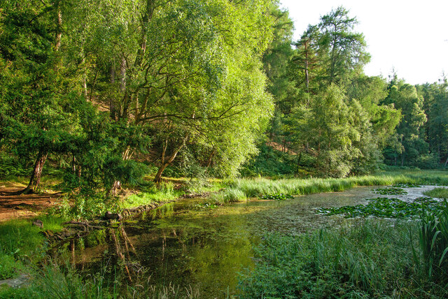
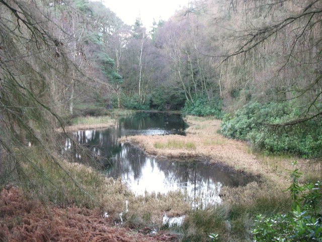
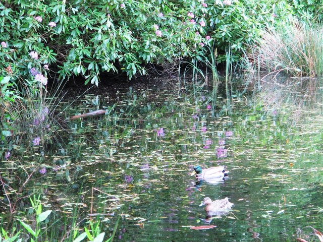
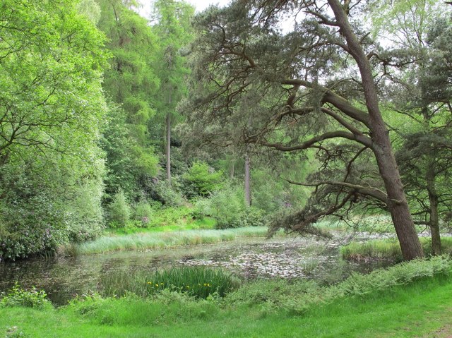
Ridley Pond, located in Northumberland, is a picturesque body of water known for its tranquil ambiance and stunning natural beauty. This freshwater pond, also referred to as Ridley Lake or Ridley Pool, covers an area of approximately 10 acres. Nestled amidst rolling hills and surrounded by verdant vegetation, Ridley Pond offers a serene escape from the hustle and bustle of everyday life.

The pond is characterized by its crystal-clear water, which reflects the vibrant colors of the surrounding landscape. It is fed by several small streams and underground springs, ensuring a constant flow of fresh water. The depth of the pond varies, with some areas reaching depths of up to 20 feet, providing ample space for aquatic life to thrive.

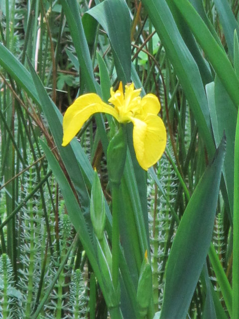
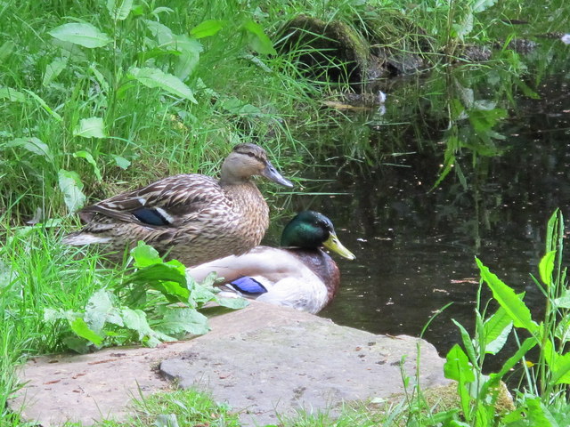
Ridley Pond is home to a diverse array of flora and fauna, making it a haven for nature enthusiasts and wildlife enthusiasts alike. The surrounding marshland is teeming with reeds, cattails, and other wetland plants, creating a lush habitat for various bird species, amphibians, and insects. Visitors can often spot herons gracefully wading through the water or listen to the melodic songs of warblers and thrushes.

The pond is a popular destination for outdoor activities such as fishing, boating, and birdwatching. Anglers can try their luck in catching a variety of fish species, including perch, pike, and carp. For those seeking a peaceful retreat, there are several designated picnic areas and walking trails that offer scenic views of the pond and its surroundings.

Overall, Ridley Pond is a hidden gem in Northumberland, offering a captivating blend of natural beauty and recreational opportunities. Whether you're a nature enthusiast, angler, or simply seeking a tranquil escape, this freshwater oasis is sure to leave a lasting impression.

If you have any feedback on the listing, please let us know in the comments section below.

Ridley Pond Images

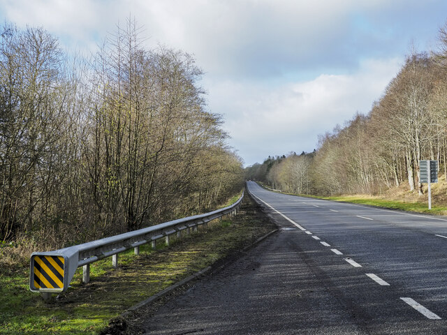
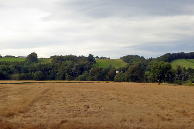
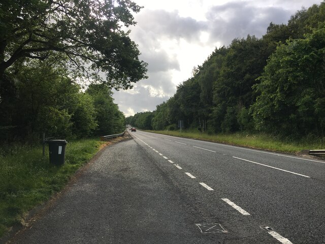
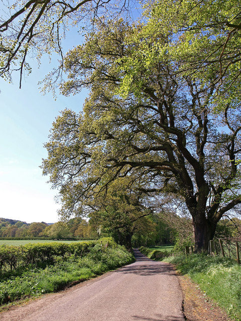
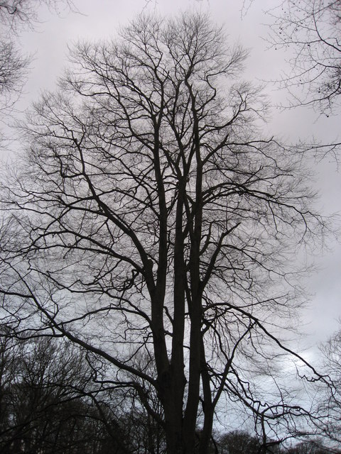
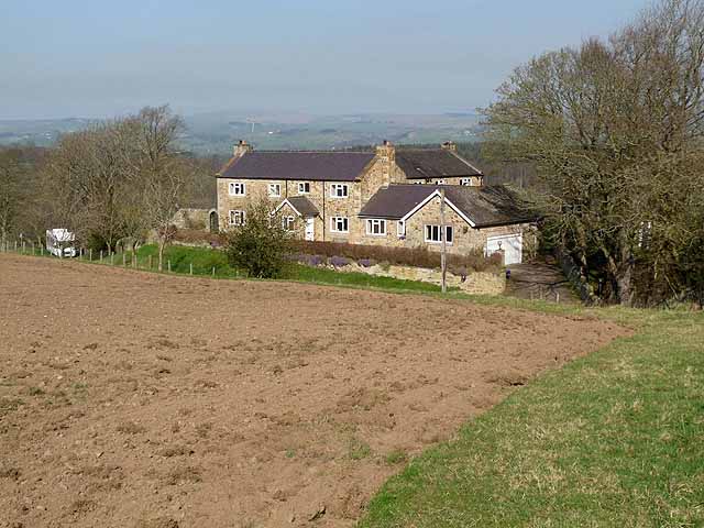
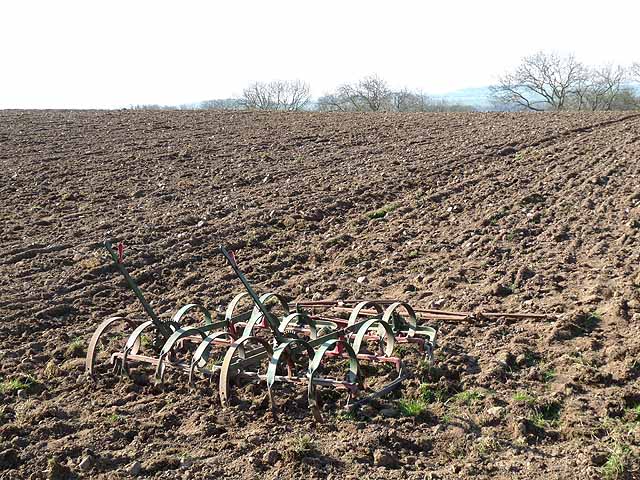
Images are sourced within 2km of 54.967824/-2.3236264 or Grid Reference NY7963. Thanks to Geograph Open Source API. All images are credited.

A69 heading west below Holm Bank The view is from a lay-by on the south side of the road just west of  a bridge apparently named as Little Bridge.
A69 heading west below Holm Bank
The view is from a lay-by on the south side of the road just west of a bridge apparently named as Little Bridge.
View north from railway The high ground is on the other side of the River South Tyne, the right margin of the near field is its tributary, the River Allen.
View north from railway
The high ground is on the other side of the River South Tyne, the right margin of the near field is its tributary, the River Allen.
Lay-by on the A69 near Holm Bank
Allen Banks : Moralee Tarn "The tarn itself is an historic feature in the landscape, originally dug out as a boating lake by the Victorians, it is now a real oasis and a great place to spot some wildlife, with superb views of the Tyne Valley and Hadrian’s Wall in the distance." - <span class="nowrap"><a title="https://www.nationaltrust.org.uk/allen-banks-and-staward-gorge/trails/allen-banks-woodland-walk" rel="nofollow ugc noopener" href="https://www.nationaltrust.org.uk/allen-banks-and-staward-gorge/trails/allen-banks-woodland-walk">Link</a><img style="margin-left:2px;" alt="External link" title="External link - shift click to open in new window" src="https://s1.geograph.org.uk/img/external.png" width="10" height="10"/></span>.
Allen Banks : Moralee Tarn
"The tarn itself is an historic feature in the landscape, originally dug out as a boating lake by the Victorians, it is now a real oasis and a great place to spot some wildlife, with superb views of the Tyne Valley and Hadrian’s Wall in the distance." - LinkExternal link.
Near West Morralee Farm Major Beech tree beside minor road.
Near West Morralee Farm
Major Beech tree beside minor road.
Fly agaric (Amanita muscaria) near Morralee Tarn
Looking across the fields to Lough Green Farm
Morralee Tarn in winter For a similar view in summer (2007) see <a href="https://www.geograph.org.uk/photo/527658">NY8063 : Morralee Tarn in high summer</a>.
Morralee Tarn in winter
For a similar view in summer (2007) see NY8063 : Morralee Tarn in high summer.
Morralee Wood in winter
House on the road down to Plankey Mill
Harrow and field above Sillywrea Wood
Mallards on Morralee Tarn
Flag iris at Morralee Tarn See <a href="https://www.geograph.org.uk/photo/2995670">NY8063 : Morralee Tarn</a>.
Flag iris at Morralee Tarn
Mallards at Morralee Tarn
Morralee Tarn Shows the location of <a href="https://www.geograph.org.uk/photo/2995660">NY8063 : Flag iris at Morralee Tarn</a>.
Morralee Tarn
Shows the location of NY8063 : Flag iris at Morralee Tarn.
Winter Morning over Tyne valley
The River Allen
The River Allen
Whitechapel Farm buildings
Show me another place!

Ridley Pond is located at Grid Ref: NY7963 (Lat: 54.967824, Lng: -2.3236264)

Unitary Authority: Northumberland

Police Authority: Northumbria

What 3 Words

///searched.strange.remaining. Near Bardon Mill, Northumberland

Related Wikis

Related Videos

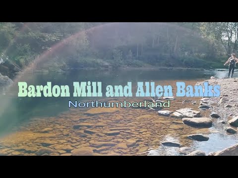
Walking on Bardon Mill and Allen Banks 👨‍🦯

A fun walk on the beautiful places of Bardon Mill and Allen Banks. #northumberland #trekking #hiking Music: Never Let You Go by ...

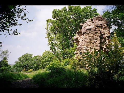
Walking around Allenbanks and Staward Peel ....Fail?

Nice little walk based near Ridley Hall, up the Allen valley and back, failing to find the Peel tower, but caught my first deer on ...

Country Walk To Allen Banks and Stawart Gorge - Northumberland

Beautiful country walk along a trail through Allen Banks and Stawart Gorge which is a national trust site. This walk is just outside ...

Allen Banks and Staward Gorge

25th October 2020 Join me and my daughter as we revisit one of the favourite sections of the Grand Tour of Northumberland in ...

Nearby Amenities

Located within 500m of 54.967824,-2.3236264
Beltingham
Place: farm
Wikidata: Q4884749
Wikipedia: en:Beltingham
Lat/Long: 54.9688981/-2.3311632
Post Box
Ref: NE47 350
Lat/Long: 54.9692594/-2.3303545
Post Box
Ref: NE47 149
Lat/Long: 54.9686974/-2.3241607
Information: board
Tourism: information
Lat/Long: 54.9700693/-2.3169721
The data included in this document is from www.openstreetmap.org. The data is made available under ODbL.

Have you been to Ridley Pond?

Leave your review of Ridley Pond below (or comments, questions and feedback).