Ridley Hill

Hill, Mountain in Northumberland

England

Ridley Hill

A69 heading west below Holm Bank The view is from a lay-by on the south side of the road just west of  a bridge apparently named as Little Bridge.
A69 heading west below Holm Bank Credit: Trevor Littlewood

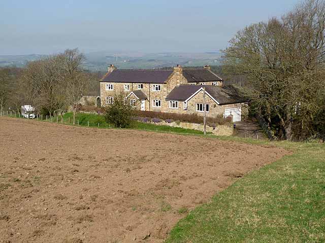
Ridley Hill is a prominent geographical feature located in the county of Northumberland, England. As its name suggests, it is a hill that forms part of the stunning Northumberland landscape. Standing at an elevation of approximately 220 meters (720 feet), Ridley Hill offers a commanding view of the surrounding area.

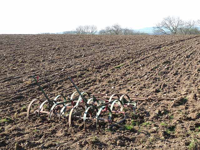
The hill is situated in the western part of Northumberland, near the village of Ridley. Its geographical coordinates are approximately 55.028°N latitude and 2.240°W longitude. The hill is characterized by its gently sloping sides, which are covered in lush green vegetation, including grasses, shrubs, and trees.

Ridley Hill is a favorite destination for hikers and nature enthusiasts, who are drawn to its natural beauty and tranquility. The hill offers various walking trails, allowing visitors to explore its diverse flora and fauna. From the summit, one can enjoy panoramic views of the surrounding countryside, including the nearby Cheviot Hills and the picturesque River North Tyne.

Moreover, Ridley Hill holds historical significance as it is home to several ancient archaeological sites, including burial mounds and stone circles. These remnants of the past provide insights into the rich cultural heritage of the region.

Overall, Ridley Hill is a captivating natural landmark that offers a combination of scenic beauty, recreational opportunities, and historical intrigue. Whether it's for an energizing hike or a peaceful retreat, Ridley Hill is a must-visit destination for those seeking to immerse themselves in Northumberland's captivating landscape.

If you have any feedback on the listing, please let us know in the comments section below.
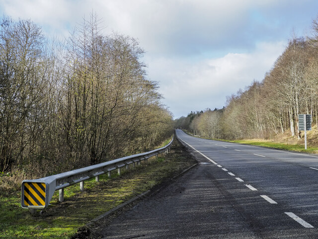
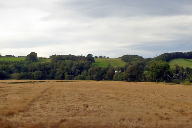
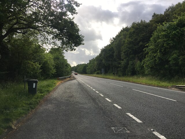
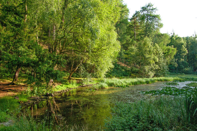
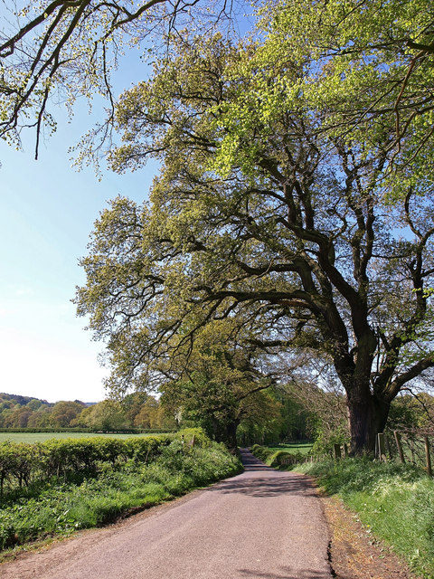
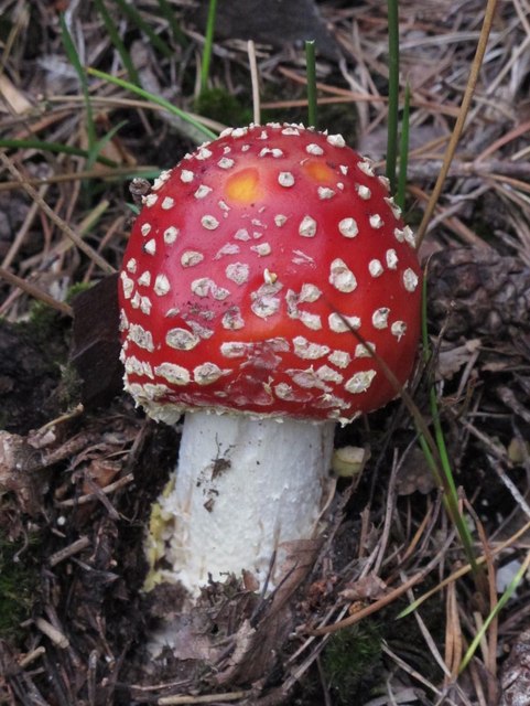
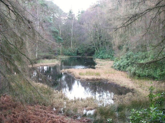
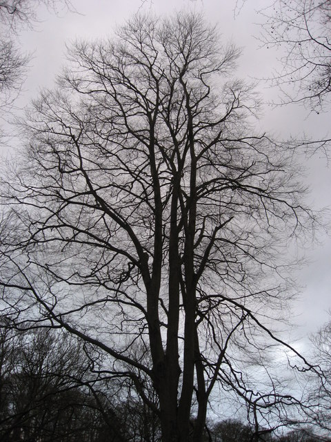
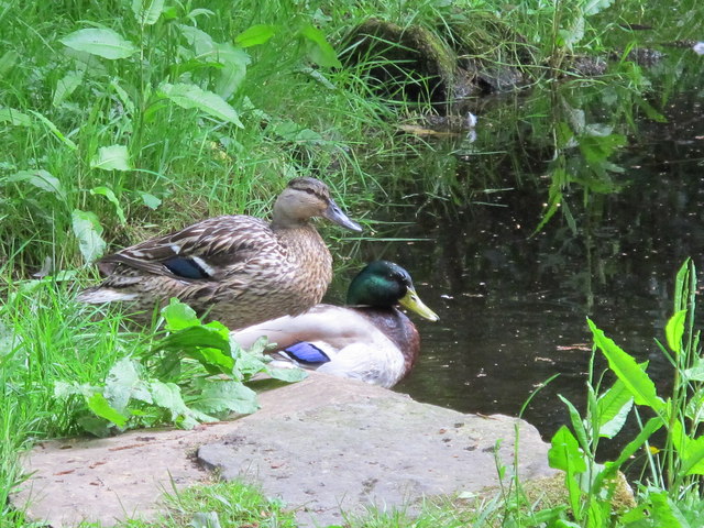
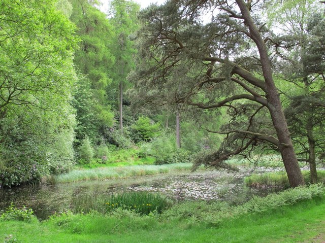
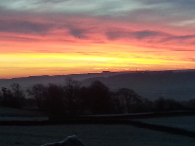
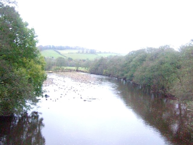
Ridley Hill Images

Images are sourced within 2km of 54.969596/-2.3233127 or Grid Reference NY7963. Thanks to Geograph Open Source API. All images are credited.

A69 heading west below Holm Bank The view is from a lay-by on the south side of the road just west of  a bridge apparently named as Little Bridge.
A69 heading west below Holm Bank
The view is from a lay-by on the south side of the road just west of a bridge apparently named as Little Bridge.
View north from railway The high ground is on the other side of the River South Tyne, the right margin of the near field is its tributary, the River Allen.
View north from railway
The high ground is on the other side of the River South Tyne, the right margin of the near field is its tributary, the River Allen.
Lay-by on the A69 near Holm Bank
Allen Banks : Moralee Tarn "The tarn itself is an historic feature in the landscape, originally dug out as a boating lake by the Victorians, it is now a real oasis and a great place to spot some wildlife, with superb views of the Tyne Valley and Hadrian’s Wall in the distance." - <span class="nowrap"><a title="https://www.nationaltrust.org.uk/allen-banks-and-staward-gorge/trails/allen-banks-woodland-walk" rel="nofollow ugc noopener" href="https://www.nationaltrust.org.uk/allen-banks-and-staward-gorge/trails/allen-banks-woodland-walk">Link</a><img style="margin-left:2px;" alt="External link" title="External link - shift click to open in new window" src="https://s1.geograph.org.uk/img/external.png" width="10" height="10"/></span>.
Allen Banks : Moralee Tarn
"The tarn itself is an historic feature in the landscape, originally dug out as a boating lake by the Victorians, it is now a real oasis and a great place to spot some wildlife, with superb views of the Tyne Valley and Hadrian’s Wall in the distance." - LinkExternal link.
Near West Morralee Farm Major Beech tree beside minor road.
Near West Morralee Farm
Major Beech tree beside minor road.
Fly agaric (Amanita muscaria) near Morralee Tarn
Morralee Tarn in winter For a similar view in summer (2007) see <a href="https://www.geograph.org.uk/photo/527658">NY8063 : Morralee Tarn in high summer</a>.
Morralee Tarn in winter
For a similar view in summer (2007) see NY8063 : Morralee Tarn in high summer.
Morralee Wood in winter
House on the road down to Plankey Mill
Harrow and field above Sillywrea Wood
Mallards on Morralee Tarn
Flag iris at Morralee Tarn See <a href="https://www.geograph.org.uk/photo/2995670">NY8063 : Morralee Tarn</a>.
Flag iris at Morralee Tarn
Mallards at Morralee Tarn
Morralee Tarn Shows the location of <a href="https://www.geograph.org.uk/photo/2995660">NY8063 : Flag iris at Morralee Tarn</a>.
Morralee Tarn
Shows the location of NY8063 : Flag iris at Morralee Tarn.
Winter Morning over Tyne valley
The River Allen
The River Allen
Whitechapel Farm buildings
Lay by on A69 near Holm Bank Lay bys on both sides of road here
Lay by on A69 near Holm Bank
Lay bys on both sides of road here
Show me another place!

Ridley Hill is located at Grid Ref: NY7963 (Lat: 54.969596, Lng: -2.3233127)

Unitary Authority: Northumberland

Police Authority: Northumbria

What 3 Words

///bared.permit.discount. Near Bardon Mill, Northumberland

Related Wikis

Ridley Hall, Northumberland

Ridley Hall is an 18th-century country house, now a residential and conference centre, at Bardon Mill, Northumberland. It is a Grade II listed building...

A69 road

The A69 is a major northern trunk road in England, running east–west across the Pennines, through the counties of Tyne and Wear, Northumberland and Cumbria...

Beltingham

Beltingham is a small village on the River South Tyne in Northumberland, in England. It is situated 1 mile (2 km) southeast of Bardon Mill and 10 miles...

Allen Banks & Staward Gorge

Allen Banks & Staward Gorge is National Trust property in the English county of Northumberland. It is a Victorian garden in a gorge of the River Allen...

Beltingham River Shingle

Beltingham River Shingle is the name given to a Site of Special Scientific Interest (SSSI) in Northumberland in the north-east of England, notable for...

Bardon Mill

Bardon Mill is a small village in Northumberland, within the vicinity of the ancient Hadrian's Wall. It is located around 10+1⁄2 miles (17 kilometres)...

River Allen, Northumberland

The River Allen is a river in the English county of Northumberland. The river has its sources in the hills of the Northern Pennines, and is formed by the...

Bardon Mill railway station

Bardon Mill is a railway station on the Tyne Valley Line, which runs between Newcastle and Carlisle via Hexham. The station, situated 27 miles 54 chains...

Nearby Amenities

Located within 500m of 54.969596,-2.3233127
Allen Banks & Staward Gorge (National Trust)
Source: local knowledge
Tourism: attraction
Lat/Long: 54.9704811/-2.3170685
Ridley Hall
Tourism: picnic_site
Lat/Long: 54.9705785/-2.3165093
Toilets
Access: yes
Toilets Disposal: flush
Unisex: yes
Lat/Long: 54.970771/-2.3160068
Post Box
Ref: NE47 350
Lat/Long: 54.9692594/-2.3303545
Post Box
Ref: NE47 149
Lat/Long: 54.9686974/-2.3241607
Information: board
Tourism: information
Lat/Long: 54.9700693/-2.3169721
The data included in this document is from www.openstreetmap.org. The data is made available under ODbL.

Have you been to Ridley Hill?

Leave your review of Ridley Hill below (or comments, questions and feedback).