Dean Height
Hill, Mountain in Lancashire Ribble Valley
England
Dean Height
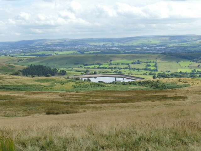
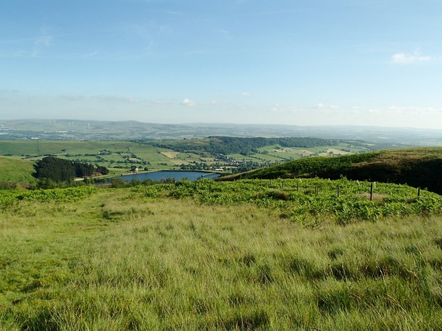
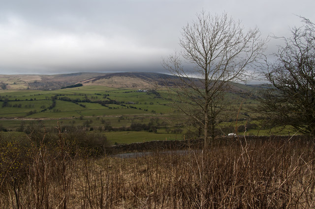
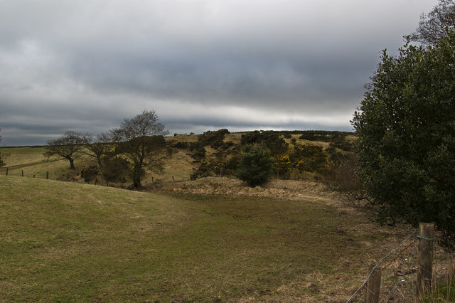
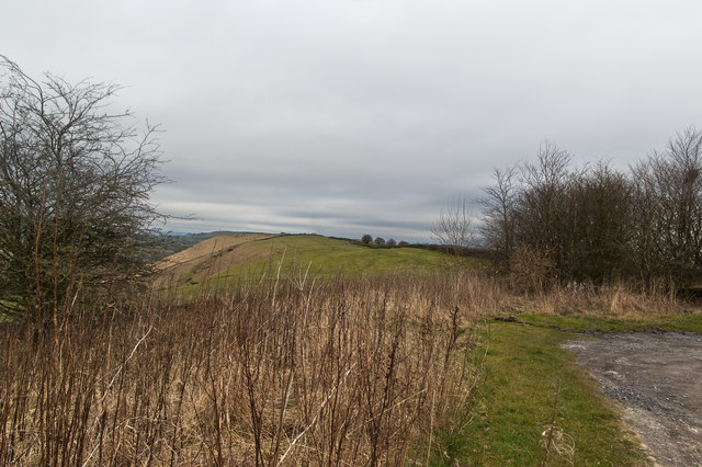
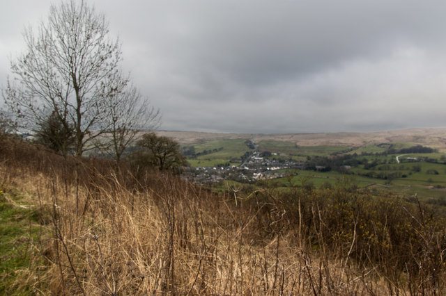
Dean Height is a hill located in the county of Lancashire, England. It is situated in the West Pennine Moors, a well-known area of natural beauty. With an elevation of approximately 488 meters (1,600 feet), Dean Height offers breathtaking panoramic views of the surrounding landscape.
The hill is characterized by its rugged terrain and is covered in heather moorland, which creates a stunning purple hue during the summer months. It is a popular destination for hikers and nature enthusiasts, providing ample opportunities for outdoor activities such as walking, hiking, and birdwatching.
The summit of Dean Height is marked by a trig point, which serves as a navigational aid for walkers and provides a sense of achievement to those who reach the top. On clear days, visitors can enjoy uninterrupted vistas that stretch across Lancashire and beyond, offering glimpses of neighboring towns, reservoirs, and even the distant Peak District.
The area surrounding Dean Height is also home to a variety of wildlife. Visitors may encounter species such as red grouse, curlews, and meadow pipits, as well as rare plants adapted to the moorland habitat. The hill is part of a designated Site of Special Scientific Interest, which aims to protect and preserve its unique ecosystem.
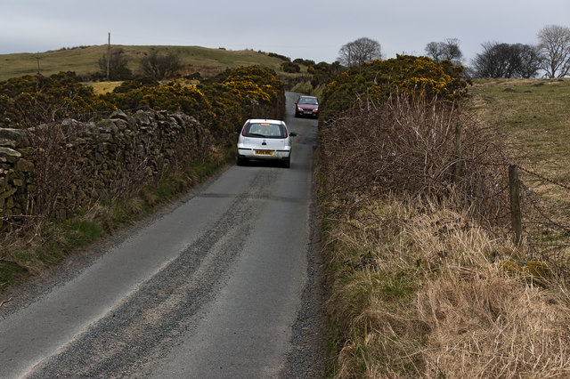
Due to its remote location, Dean Height provides a tranquil and peaceful escape from the hustle and bustle of everyday life. It offers a chance to connect with nature and enjoy the beauty of the Lancashire countryside.
If you have any feedback on the listing, please let us know in the comments section below.
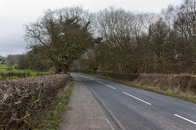
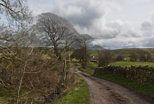
Dean Height Images
Images are sourced within 2km of 53.828779/-2.3144721 or Grid Reference SD7936. Thanks to Geograph Open Source API. All images are credited.


Dean Height is located at Grid Ref: SD7936 (Lat: 53.828779, Lng: -2.3144721)
Administrative County: Lancashire
District: Ribble Valley
Police Authority: Lancashire
What 3 Words
///conforms.wand.defers. Near Sabden, Lancashire
Nearby Locations
Related Wikis

Higham, Lancashire
Higham is a village in the Borough of Pendle in Lancashire, England, south of Pendle Hill. The civil parish is named Higham with West Close Booth. The...

Sabden
Sabden is a village and civil parish in the Ribble Valley, Lancashire, England. Sabden is located south of Pendle Hill, in a valley about three miles north...

Huntroyde Hall
Huntroyde Hall is a grade II listed, 16th-century house in the civil parish of Simonstone in the Borough of Ribble Valley, Lancashire, England. Its estate...

Gawthorpe (ward)
Gawthorpe is an electoral ward in the non-metropolitan district of Burnley in Lancashire, England. The population of the Burnley Ward at the 2011 census...
Nearby Amenities
Located within 500m of 53.828779,-2.3144721Have you been to Dean Height?
Leave your review of Dean Height below (or comments, questions and feedback).