Mitford
Settlement in Northumberland
England
Mitford
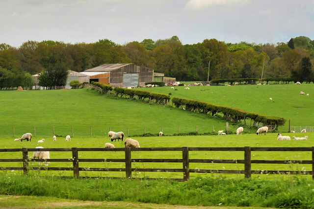
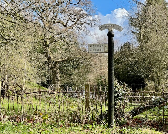
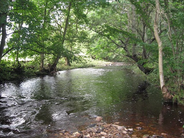
Mitford is a small village located in the county of Northumberland, England. Situated on the banks of the River Wansbeck, it is nestled in the picturesque countryside, surrounded by rolling hills and lush green fields. The village is approximately 10 miles northwest of the historic market town of Morpeth.
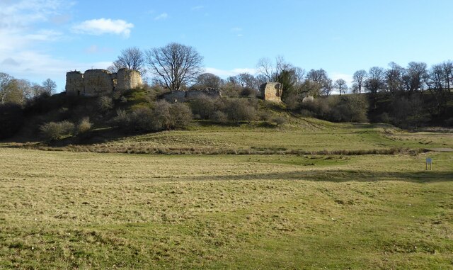
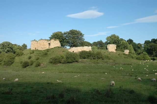
Mitford has a rich history dating back to the medieval era. The focal point of the village is Mitford Castle, a 12th-century motte-and-bailey fortress. The castle, now in ruins, stands majestically on a hilltop overlooking the village and offers breathtaking views of the surrounding landscape.
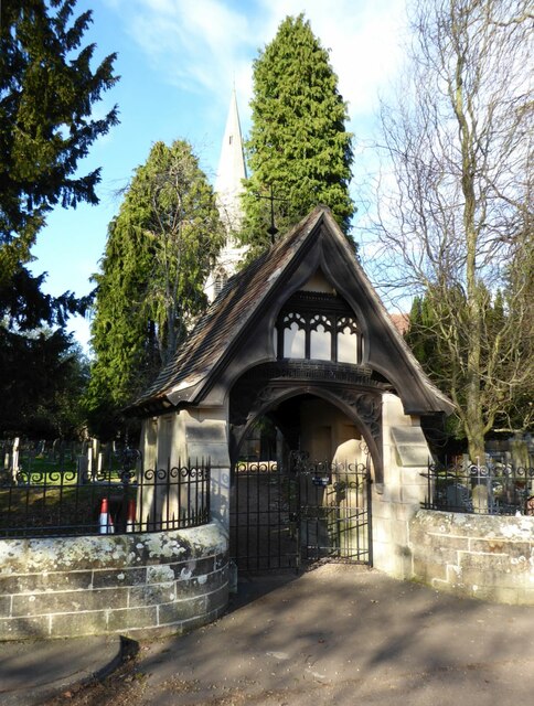
The village itself is home to a close-knit community and exudes a charming, traditional English countryside atmosphere. It features a mix of historic stone-built houses, cottages, and more modern dwellings. The Mitford Village Hall serves as a hub for community activities, hosting various events throughout the year.
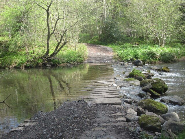
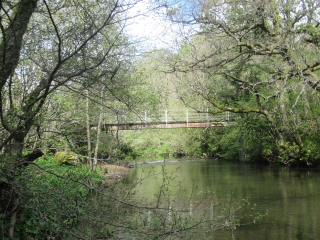
For nature enthusiasts, Mitford offers plenty of opportunities to explore the outdoors. The nearby Mitford Woods provide scenic walking trails and are particularly popular during spring when the bluebells are in full bloom. The River Wansbeck also offers a tranquil setting for fishing and boating.
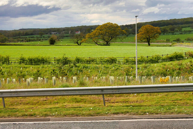
Although Mitford is a small village, it benefits from its proximity to Morpeth, where residents can access a wider range of amenities such as shops, restaurants, and schools. The village is also well-connected by road, with the A1 trunk road just a short drive away, providing easy access to Newcastle upon Tyne and other major towns in the region.
Overall, Mitford is a charming rural village with a rich history, stunning natural surroundings, and a warm and welcoming community.
If you have any feedback on the listing, please let us know in the comments section below.
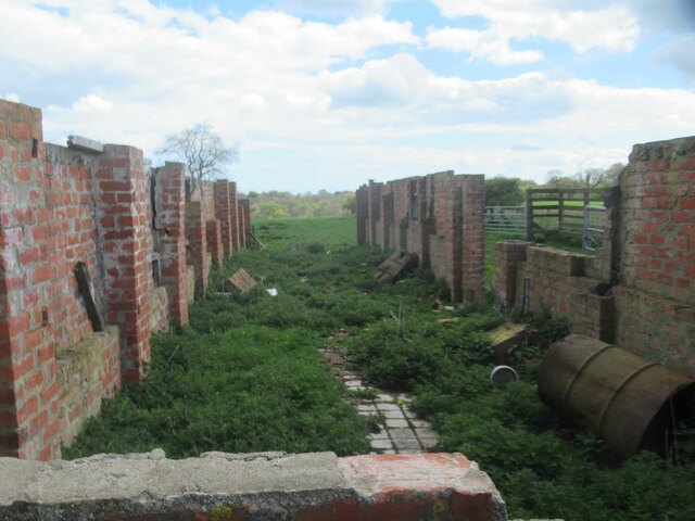
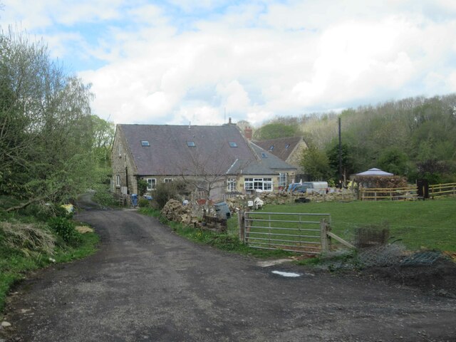
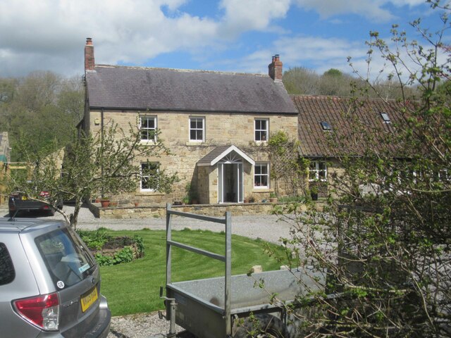
Mitford Images
Images are sourced within 2km of 55.166917/-1.734359 or Grid Reference NZ1785. Thanks to Geograph Open Source API. All images are credited.


Mitford is located at Grid Ref: NZ1785 (Lat: 55.166917, Lng: -1.734359)
Unitary Authority: Northumberland
Police Authority: Northumbria
What 3 Words
///prospered.cares.finest. Near Morpeth, Northumberland
Nearby Locations
Related Wikis
River Font
The River Font is a river that flows through Northumberland, England. The river is a tributary of the River Wansbeck which it joins at Mitford. == References... ==
Mitford Castle
Mitford Castle is an English castle dating from the end of the 11th century and located at Mitford, Northumberland. It is a Scheduled Ancient Monument...

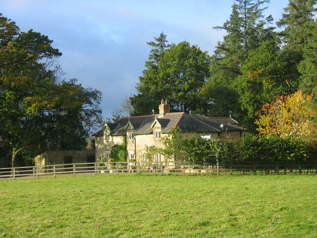
Mitford Old Manor House
Mitford Old Manor House is an historic English manor house at Mitford, Northumberland, and is a Grade II* listed building. The Manor of Mitford was held...

Mitford, Northumberland
Mitford is a village in Northumberland, England, located 2 miles (3 km) west of Morpeth. == History == Although the foundation of Mitford is unknown, it...

Mitford Hall
Mitford Hall is a Georgian mansion house and Grade II* listed building standing in its own 85-acre (34 ha) park overlooking the River Wansbeck at Mitford...

Newminster Abbey
Newminster Abbey was a Cistercian abbey in Northumberland in the north of England. The site is protected by Grade II listed building and Scheduled Ancient...
Morpeth Town A.F.C.
Morpeth Town Association Football Club is a football club based in Morpeth, Northumberland, England. They are currently members of the Northern Premier...
Bullers Green
Bullers Green is a part of the town of Morpeth and former civil parish, Northumberland, England. In 1881 the parish had a population of 346. == Governance... ==
Nearby Amenities
Located within 500m of 55.166917,-1.734359Have you been to Mitford?
Leave your review of Mitford below (or comments, questions and feedback).