Mitford Castle
Heritage Site in Northumberland
England
Mitford Castle

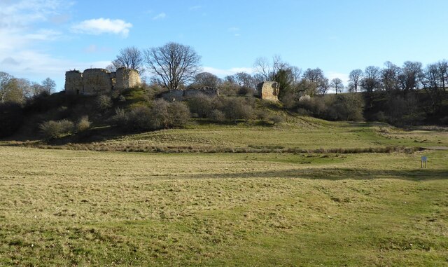
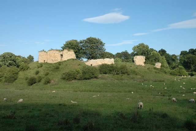
Mitford Castle is a historic site located in the village of Mitford, Northumberland, England. It is an impressive medieval fortress that stands on a natural mound overlooking the River Wansbeck. The castle was built in the late 11th century by the Bertram family and played a significant role in the turbulent history of the region.
The castle consists of a rectangular bailey, surrounded by a curtain wall with a gatehouse on the south side. The gatehouse features a large arched entrance and defensive towers on either side. Inside the bailey, there are the remains of various domestic buildings, including a great hall, kitchens, and living quarters. The castle was originally constructed using locally quarried stone, giving it a robust appearance.
Throughout its history, Mitford Castle witnessed several conflicts and sieges. It changed hands multiple times between rival factions during the Wars of the Roses and was even besieged by King John in the early 13th century. The castle remained inhabited until the 17th century when it fell into ruin.
Today, Mitford Castle is a popular heritage site and attracts visitors who are interested in medieval history and architecture. Although largely in ruins, the castle still retains its imposing presence and offers visitors a glimpse into the past. The site is managed by English Heritage and provides information boards for visitors to learn about the castle's history and significance. The castle's location also offers stunning views of the surrounding countryside, making it a picturesque destination for history enthusiasts and tourists alike.
If you have any feedback on the listing, please let us know in the comments section below.
Mitford Castle Images
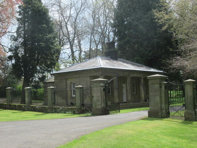
Images are sourced within 2km of 55.163/-1.725 or Grid Reference NZ1785. Thanks to Geograph Open Source API. All images are credited.


Mitford Castle is located at Grid Ref: NZ1785 (Lat: 55.163, Lng: -1.725)
Unitary Authority: Northumberland
Police Authority: Northumbria
What 3 Words
///slimming.person.cascaded. Near Morpeth, Northumberland
Nearby Locations
Related Wikis
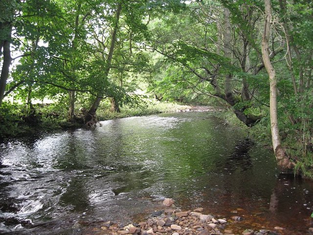
River Font
The River Font is a river that flows through Northumberland, England. The river is a tributary of the River Wansbeck which it joins at Mitford. == References... ==

Mitford, Northumberland
Mitford is a village in Northumberland, England, located 2 miles (3 km) west of Morpeth. == History == Although the foundation of Mitford is unknown, it...
Mitford Castle
Mitford Castle is an English castle dating from the end of the 11th century and located at Mitford, Northumberland. It is a Scheduled Ancient Monument...

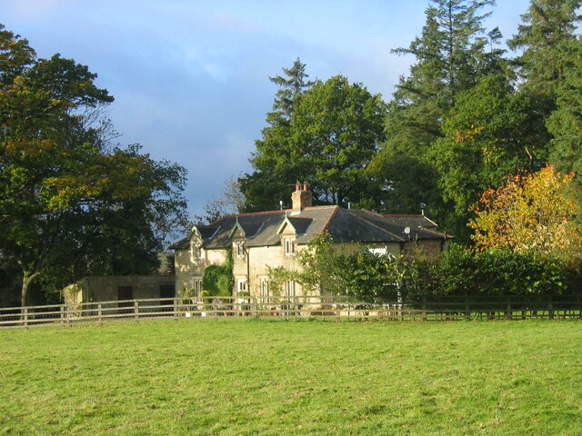
Mitford Old Manor House
Mitford Old Manor House is an historic English manor house at Mitford, Northumberland, and is a Grade II* listed building. The Manor of Mitford was held...
Nearby Amenities
Located within 500m of 55.163,-1.725Have you been to Mitford Castle?
Leave your review of Mitford Castle below (or comments, questions and feedback).