Mithraeum

Heritage Site in Northumberland

England

Mithraeum

Roman ditch on Hadrian's Wall Along this length, the wall itself is under the public highway.
Roman ditch on Hadrian's Wall Credit: Sandy Gerrard

Mithraeum, Northumberland, is a significant heritage site located in the northern region of England. This archaeological site, dating back to the Roman period, is named after the cult of Mithras, an ancient deity worshipped by the Romans. The Mithraeum is situated within the remains of a Roman fort, known as Corstopitum, near the town of Corbridge.

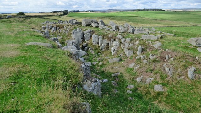
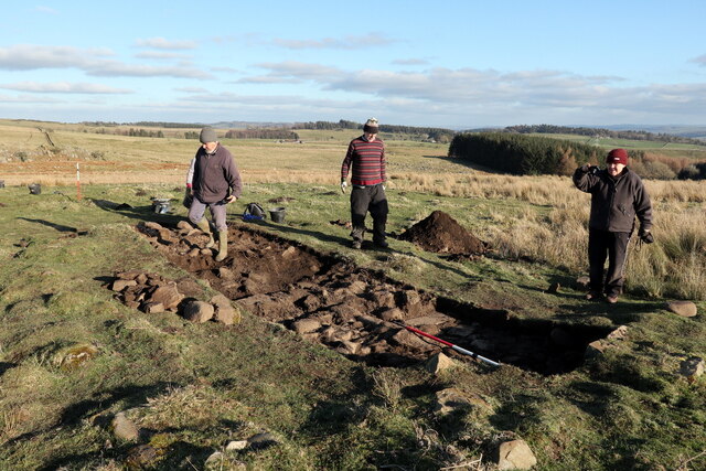
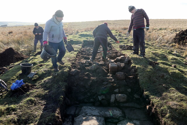
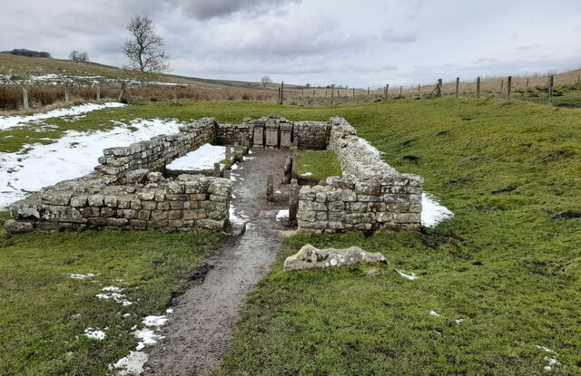
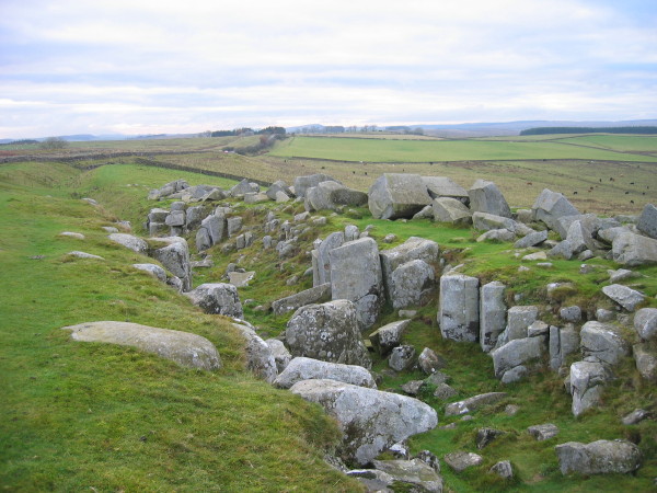
The Mithraeum is a subterranean temple dedicated to the worship of Mithras, a Persian god associated with light, contracts, and the sun. These temples were typically hidden underground to symbolize Mithras' mythical birth from a rock. The Mithraeum at Corstopitum was discovered in 1880 and has since been carefully excavated and preserved.

The site consists of several chambers, including the main central room housing an altar and a stone bench for worshippers. Intricate reliefs and sculptures depicting scenes from Mithras' mythology adorn the walls, showcasing the cult's devotion to the god. The temple's design incorporates elements such as a narrow entrance, low ceilings, and a symbolic representation of a cave, emphasizing the secretive and mystical nature of the Mithraic rituals.

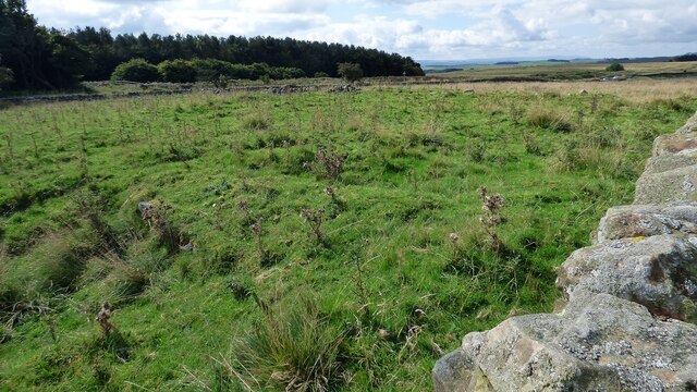
Visitors to the Mithraeum can explore the remains of the temple, gaining insights into the religious practices of the Roman period. The site offers a unique opportunity to witness the remnants of an ancient religion that was once widespread throughout the Roman Empire. As a designated heritage site, the Mithraeum is protected and managed by local authorities, ensuring its preservation for future generations.

If you have any feedback on the listing, please let us know in the comments section below.
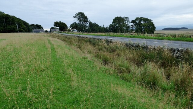
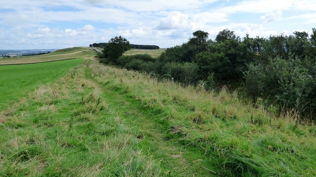
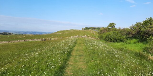
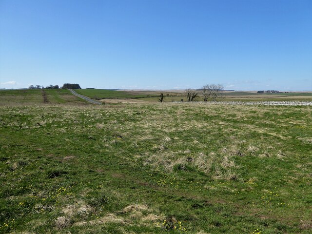
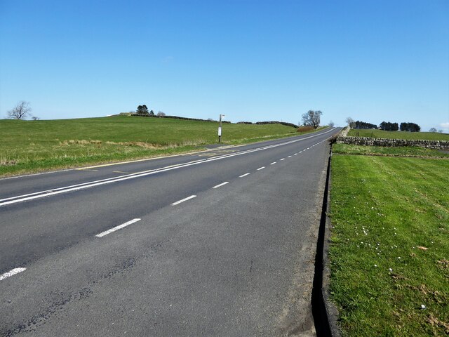
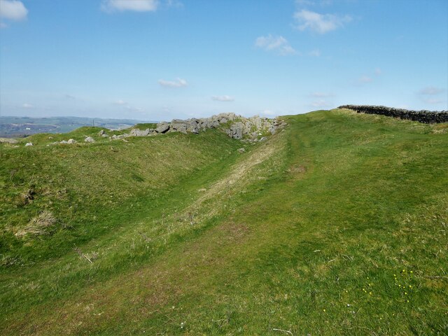
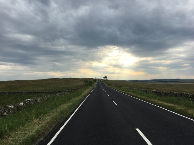
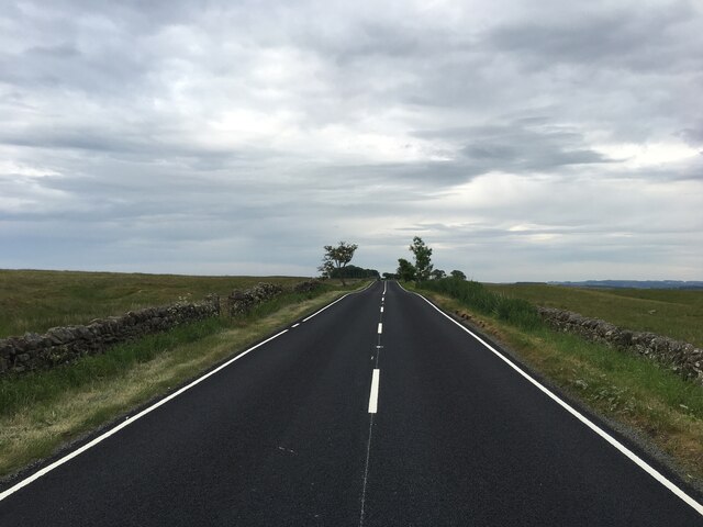
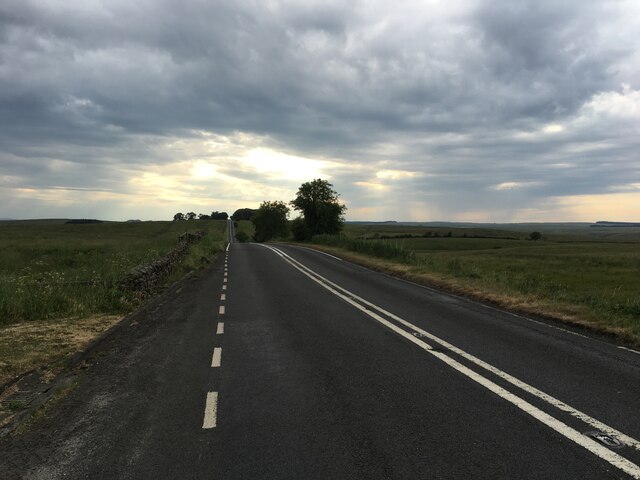
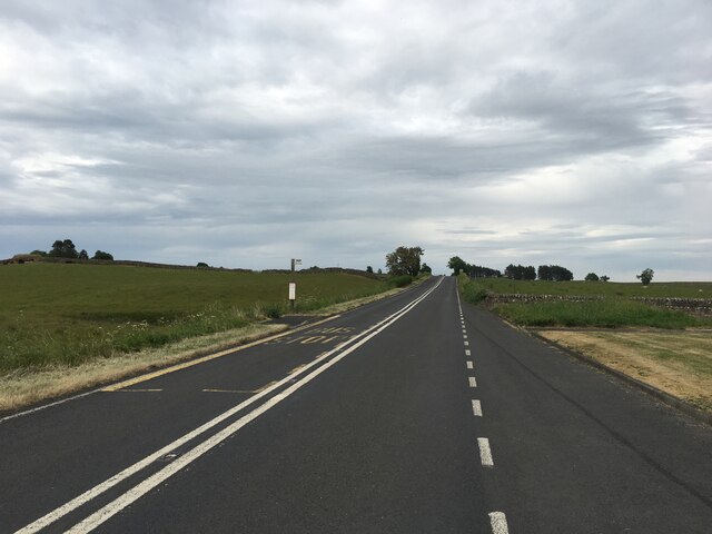
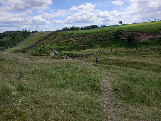
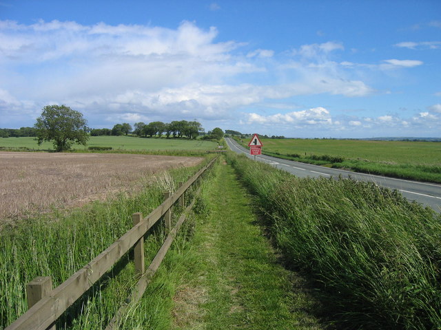
Mithraeum Images

Images are sourced within 2km of 55.037/-2.227 or Grid Reference NY8571. Thanks to Geograph Open Source API. All images are credited.

Roman ditch on Hadrian's Wall Along this length, the wall itself is under the public highway.
Roman ditch on Hadrian's Wall
Along this length, the wall itself is under the public highway.
Hadrian's Wall ditch The wall itself lies under the road on the other side of the hedge.
Hadrian's Wall ditch
The wall itself lies under the road on the other side of the hedge.
Hadrian's Wall rock cut ditch The northern defensive ditch was cut through hard dolerite at this point.
Hadrian's Wall rock cut ditch
The northern defensive ditch was cut through hard dolerite at this point.
Milecastle 30 on Hadrian's Wall Hadrian's wall or 'Vallum Aelium' is the remains of a large Roman fortification. The wall extended west from Segedunum at Wallsend on the River Tyne to the shore of the Solway Firth, ending a short but unknown distance west of the village of Bowness-on-Solway. Construction probably started sometime in AD 122 and was largely completed within six years.

The remains were made a UNESCO World Heritage Site in 1987.
Milecastle 30 on Hadrian's Wall
Hadrian's wall or 'Vallum Aelium' is the remains of a large Roman fortification. The wall extended west from Segedunum at Wallsend on the River Tyne to the shore of the Solway Firth, ending a short but unknown distance west of the village of Bowness-on-Solway. Construction probably started sometime in AD 122 and was largely completed within six years. The remains were made a UNESCO World Heritage Site in 1987.
Archaeological excavation of Greyside farmstead 3D model of excavation trench on Sketchfab: <span class="nowrap"><a title="https://skfb.ly/ottxH" rel="nofollow ugc noopener" href="https://skfb.ly/ottxH">Link</a><img style="margin-left:2px;" alt="External link" title="External link - shift click to open in new window" src="https://s1.geograph.org.uk/img/external.png" width="10" height="10"/></span>
Archaeological excavation of Greyside farmstead
3D model of excavation trench on Sketchfab: LinkExternal link
Archaeological excavation of Greyside farmstead
Valley of Meggie's Dene Burn
Hadrian's Wall Path between Milecastles 30 and 31
The Temple of Mithras The site was excavated in 1949 and statues, altars and wooden posts were cast in concrete, the originals removed to Newcastle Museum of Antiquities.
The Temple of Mithras
The site was excavated in 1949 and statues, altars and wooden posts were cast in concrete, the originals removed to Newcastle Museum of Antiquities.
Brocolitia Roman Fort Site Once on top of the hump within the fence, a disappointing view of a flat site
Brocolitia Roman Fort Site
Once on top of the hump within the fence, a disappointing view of a flat site
The line of Hadrians Wall along the B6318 road View from the entrance to Brocolitia car park
The line of Hadrians Wall along the B6318 road
View from the entrance to Brocolitia car park
Ditch alongside Hadrians Wall Near Milecastle 30 the ditch has turned into a quarry
Ditch alongside Hadrians Wall
Near Milecastle 30 the ditch has turned into a quarry
B6318 heading west
B6318 heading west
B6318 heading east
B6318 heading east
B6318 heading west
B6318 heading west
B6318 heading east
B6318 heading east
Approaching Footbridge and Ford at Hopeshield Burn
Show me another place!

Mithraeum is located at Grid Ref: NY8571 (Lat: 55.037, Lng: -2.227)

What 3 Words

///sheepish.debater.blanking. Near Birtley, Northumberland

Nearby Locations

Mithraeum Brocolitia

Related Wikis

Milecastle 31

Milecastle 31 (Carrawburgh) was a milecastle of the Roman Hadrian's Wall. Its remains exist as a turf covered platform beside (and partially covered by...

Carrawburgh

Carrawburgh is a settlement in Northumberland. In Roman times, it was the site of a 3+1⁄2-acre (1.5 ha) auxiliary fort on Hadrian's Wall called Brocolitia...

Milecastle 32

Milecastle 32 (Carraw) was a milecastle of the Roman Hadrian's Wall. Its remains exist as earthworks and with no exposed masonry. The layout of the milecastle...

Greenhaugh

Greenhaugh is a small village in Northumberland, England. It is located northwest of Bellingham and borders the Northumberland National Park. It is in...

Milecastle 30

Milecastle 30 (Limestone Corner) was a milecastle of the Roman Hadrian's Wall. Its remains exist as an outward-facing scarp with a maximum height of 0...

Military Road (Northumberland)

The Military Road is a name given locally to part of the B6318 road in Northumberland, England, which runs from Heddon-on-the-Wall (54.9974°N 1.7929°W...

Limestone Corner

Limestone Corner is an area of Hadrian's Wall (and associated defences) at its most northerly point, in present-day northern England. It represents the...

Milecastle 33

Milecastle 33 (Shield on the Wall) was a milecastle of the Roman Hadrian's Wall, one of a series of small fortlets built at intervals of approximately...

Nearby Amenities

Located within 500m of 55.037,-2.227
Parking
Fee: yes
Park Ride: yes
Lat/Long: 55.0356647/-2.2203495
Temple of Mithras
Archaeological Site: roman_temple
Historic: archaeological_site
Historic Civilization: ancient_roman
Note: Ruins of Roman temple to Mithras
Lat/Long: 55.0338612/-2.2225561
Barrier: stile
Material: wood
Source: survey;gps
Stile: ladder
Lat/Long: 55.033862/-2.2230784
Barrier: stile
Material: wood
Source: survey;gps
Stile: stepover
Lat/Long: 55.0337754/-2.2232407
Barrier: kissing_gate
Source: survey;gps
Lat/Long: 55.0338033/-2.2223628
Barrier: stile
Source: survey;gps
Stile: ladder
Lat/Long: 55.0350914/-2.2266581
Barrier: kissing_gate
Source: survey;gps
Lat/Long: 55.0354492/-2.2210111
Barrier: stile
Source: survey
Stile: stepover
Lat/Long: 55.0354731/-2.2210348
Bus Stop
Bench: no
Bin: no
Shelter: no
Tactile Paving: no
Lat/Long: 55.0356748/-2.2208737
Bus Stop
Shelter: no
Lat/Long: 55.03583/-2.2200122
The data included in this document is from www.openstreetmap.org. The data is made available under ODbL.

Have you been to Mithraeum?

Leave your review of Mithraeum below (or comments, questions and feedback).